Paddleboarding spots in Cumbria
52 launch spots across Cumbria
This weekend’s calmest picks in Cumbria
See the ranked launch spots for the best conditions this weekend
Cumbria holds England's largest lakes, and most sit in a valley that shelters one shore or another whatever the wind is doing. Derwentwater and Ullswater give long, open crossings; the smaller tarns reward an early start before the day-boats and the breeze arrive.
These are the launch spots we've mapped in Cumbria so far.
Many inland waterways need a licence to paddle. Check with Paddle UK before you go.
Every mapped spot in Cumbria
Zoom in to split a cluster; open a pin for the spotMap of every spot in Cumbria
The interactive map opens on any device with JavaScript. The full list of launch spots is below.
Launch spots
Showing 24 of 52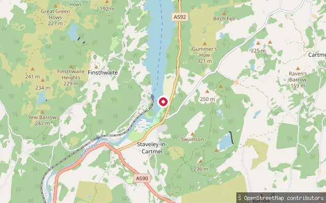 Lake
LakeWindermere put-in
Cumbria, EnglandThis slipway launches onto Windermere near its southern tip, close to Fell Foot Park and Newby Bridge, in the Staveley-in-Cartmel area at the foot of the lake.
 Lake
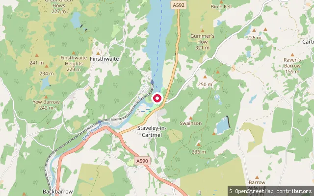
LakeWindermere put-in, Lakeside
Cumbria, EnglandThis put-in is on the southern tip of Windermere at Lakeside, home to the Lakes Aquarium and a terminus of both the Windermere Lake Cruises boats and the Lakeside and Haverthwaite Railway. It gives access to the widest lake in England, which stretches roughly 10.5 miles north to Ambleside.
 River
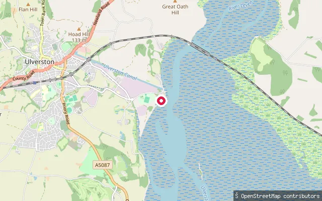
RiverCarter Stream slipway, Rame Farm
Cumbria, EnglandThis slipway serves Carter Stream near Rame Farm on the edge of Ulverston. It is a minor watercourse rather than a significant paddling destination.
 River
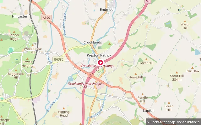
RiverPreston Patrick put-in
Cumbria, EnglandThis put-in is on Peasey Beck near Preston Patrick, where the beck drops over a weir and part of its flow is diverted to feed the Lancaster Canal. The beck continues south-west and later passes under the canal through a Grade II listed aqueduct near Crooklands.
 River
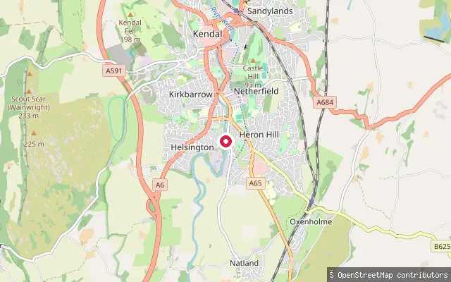
RiverNatland Road
Cumbria, EnglandThis put-in is on the River Kent at Natland Road on the southern edge of Kendal, one of several access points along the grade 3 whitewater run that continues downstream to Force Falls near Sedgwick. The river here lies inside the River Kent and Tributaries SSSI and Special Area of Conservation.
 Lake
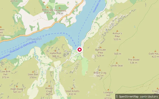
LakeHowtown Pier slipway (Ullswater)
Cumbria, EnglandA slipway beside Howtown Pier on Ullswater's eastern shore, where the Ullswater 'Steamers' boats call. The shore shelves gently from shingle into silt, and the pier area sees regular ferry traffic.
 Lake
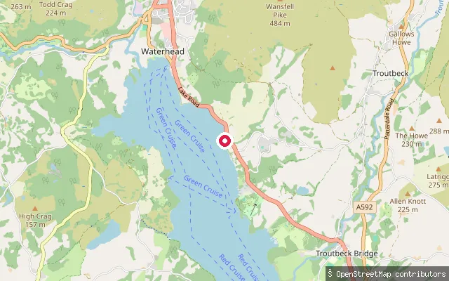
LakeWaterhead slipway (Ambleside)
Cumbria, EnglandThis slipway launches onto Windermere at Waterhead, the bay at the lake's northern tip beside Ambleside, close to where the A591 meets the shore.
 Lake
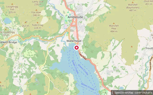
LakeWaterhead YHA slipway (Ambleside)
Cumbria, EnglandThis slipway launches onto Windermere at Waterhead, beside the YHA Ambleside hostel on the Esplanade at the lake's northern end.
 Lake
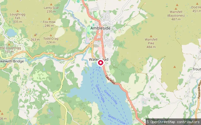
LakeBorrans Park slipway (Waterhead, Ambleside)
Cumbria, EnglandThis slipway sits on Windermere at Waterhead, on Borrans Road by Borrans Park near the mouth of the River Rothay. OSM tags it as a whitewater egress point, suggesting river paddlers use it to come off the Rothay and onto the open lake.
 River
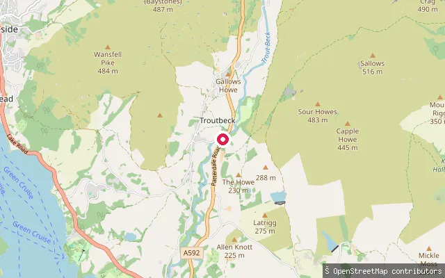
RiverTrout Beck put-in (Troutbeck)
Cumbria, EnglandTrout Beck is a fast-flowing Lake District stream that rises in the High Street range and descends about seven miles before entering Windermere's eastern shore near Calgarth Hall. This put-in near Church Bridge, in the Troutbeck valley, gives access to a steep, largely continuous stretch that paddlers grade as difficult whitewater rather than a flat-water launch.
 Lake
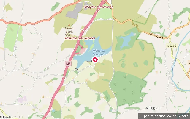
LakeKillington put-in
Cumbria, EnglandThis slipway is on the north shore of Killington Reservoir, a reservoir south-east of Kendal that the Canal & River Trust maintains as a water source for the Lancaster Canal. It is mapped as a gravel launch apron at the Killington Sailing Association's site, where the club's clubhouse and floating jetty support dinghy sailing, kayaking, paddleboarding and windsurfing.
 River
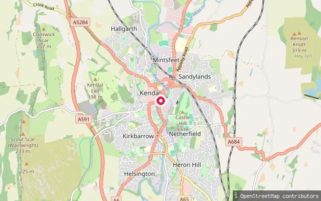
RiverKendal put-in
Cumbria, EnglandThis slipway is on the River Kent in Kendal, at the upstream end of the grade 3 whitewater run that continues downstream to Force Falls near Sedgwick. The river through the town lies inside the River Kent and Tributaries SSSI and Special Area of Conservation.
 River
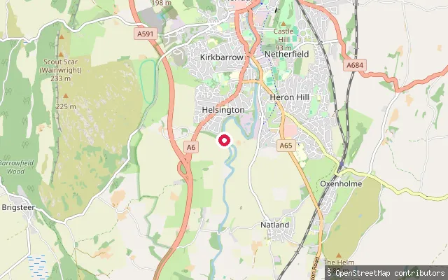
RiverHelsington put-in
Cumbria, EnglandThis put-in is on the River Kent on the southern edge of Kendal, within the grade 3 whitewater run that continues downstream to Force Falls near Sedgwick. The river here lies inside the River Kent and Tributaries SSSI and Special Area of Conservation.
 River
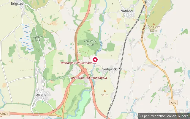
RiverHelsington put-in
Cumbria, EnglandThis put-in is on the River Kent close to Sedgwick, at the lower end of a grade 3 whitewater run that starts around Kendal and finishes at Force Falls just above the Sedgwick A590 bridge. The reach forms part of the River Kent and Tributaries SSSI and Special Area of Conservation, which extends from the river's headwaters through Kendal to Sedgwick.
 Sea
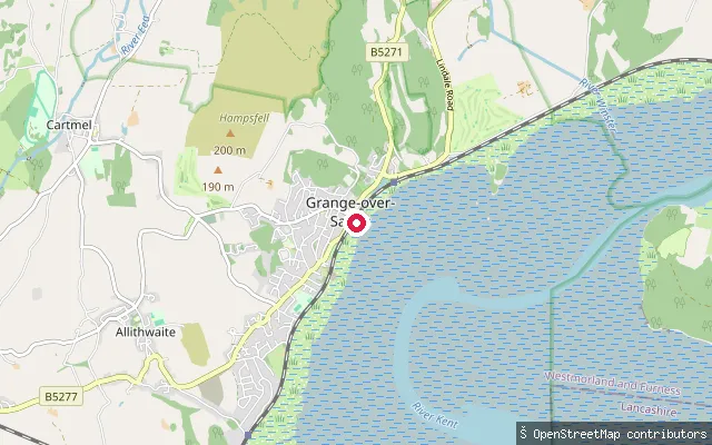
SeaMorecambe Bay slipway, Grange-over-Sands promenade
Cumbria, EnglandThis slipway leads from the Grange-over-Sands promenade onto the mudflats and saltmarsh of Morecambe Bay. The promenade runs for about a mile along the bay and is a well-known viewpoint over the sands.
 Sea
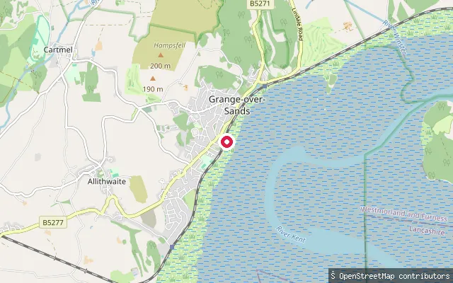
SeaMorecambe Bay slipway, Grange-over-Sands promenade
Cumbria, EnglandThis is a second slipway on the Grange-over-Sands promenade, giving access to Morecambe Bay's mudflats and saltmarsh a short distance from the other two recorded slipways on the same seafront.
 Sea
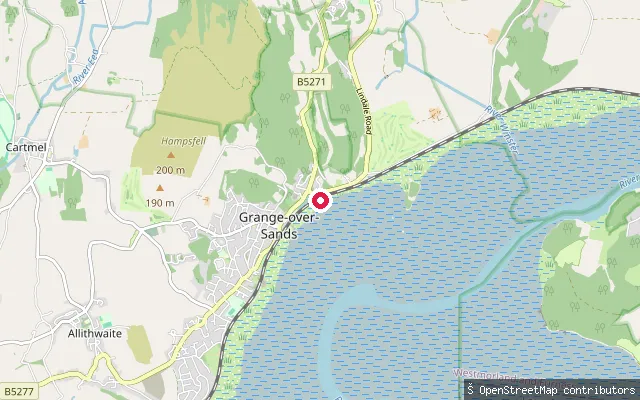
SeaMorecambe Bay slipway, Grange-over-Sands
Cumbria, EnglandThis slipway sits on the promenade at Grange-over-Sands, facing the mudflats and saltmarsh of Morecambe Bay. The bay's tide comes in quickly across the sands and the channels shift, which is why guided cross-bay walks from the town use an appointed local guide rather than an unguided route.
 Lake
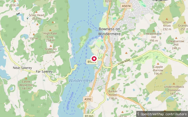
LakeFerry Nab
Cumbria, EnglandFerry Nab is the slipway and small marina beside the eastern landing of the Windermere car ferry, a short walk south of Bowness-on-Windermere. Hand-carried craft such as paddleboards and kayaks can launch here for free, while trailered and powered vessels pay a daily launch fee to the Lake Wardens.
 River
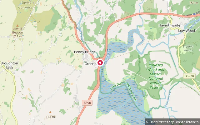
RiverRiver Crake slipway, Greenodd
Cumbria, EnglandThis slipway sits on the River Crake near the Greenodd roundabout on the A590, close to where the river reaches the tidal Leven estuary. It marks the lower end of the Coniston Water to Greenodd canoe trip, used as a take-out with permission to park near the petrol station.
 Lake
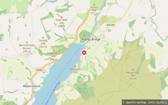
LakePark Foot slipway (Ullswater)
Cumbria, EnglandA slipway at Park Foot Holiday Park on Ullswater's northern shore, described by boat owners as a natural shingle cove with a gentle incline suited to small craft. The campsite charges a combined launch and parking fee, payable directly to Park Foot.
 Lake
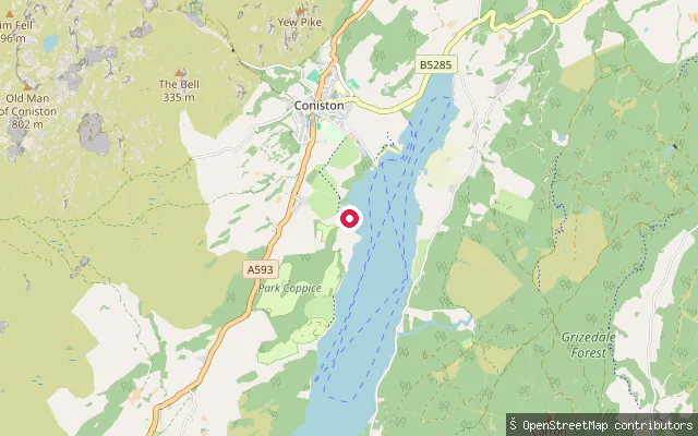
LakeConiston Water put-in
Cumbria, EnglandThis is a shoreline access point on Coniston Water close to Coniston village, at the northern end of a lake around 5 miles long in the central Lake District.
 Lake
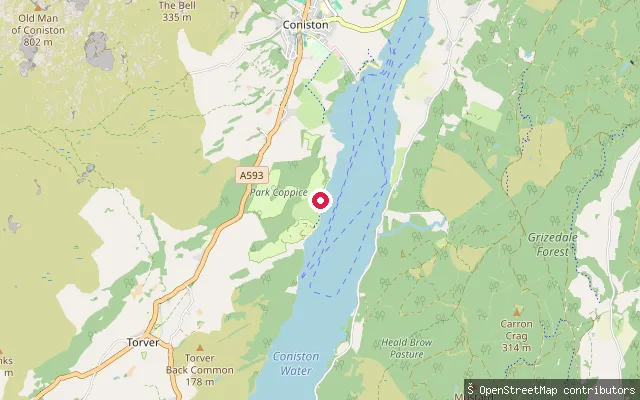
LakeConiston Water put-in
Cumbria, EnglandThis is a shoreline access point on the western side of Coniston Water, a lake around 5 miles long in the central Lake District, within reach of Coniston village.
 Lake
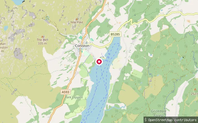
LakeConiston Water put-in
Cumbria, EnglandThis shoreline access point sits near Coniston village at the northern end of Coniston Water, close to the Coniston Boating Centre, where boat and paddleboard hire is available.
 Lake
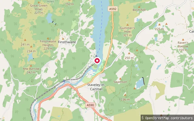
LakeWindermere slipway, Lakeside
Cumbria, EnglandThis slipway is at Lakeside, at the southern tip of Windermere, close to the Lakes Aquarium and the Lakeside and Haverthwaite Railway terminus.
Save your own spots
Keep the places you launch, check the wind and shelter before you go, and log every paddle. Add a spot to the directory too, and other paddlers will find it. Free to start.
Some launch spots in this directory are seeded from open data. © OpenStreetMap contributors · Open Database Licence (ODbL) · Machine-readable copy