Paddleboarding spots in Lancashire
42 launch spots across Lancashire
This weekend’s calmest picks in Lancashire
See the ranked launch spots for the best conditions this weekend
Many inland waterways need a licence to paddle. Check with Paddle UK before you go.
Every mapped spot in Lancashire
Zoom in to split a cluster; open a pin for the spotMap of every spot in Lancashire
The interactive map opens on any device with JavaScript. The full list of launch spots is below.
Launch spots
Showing 24 of 42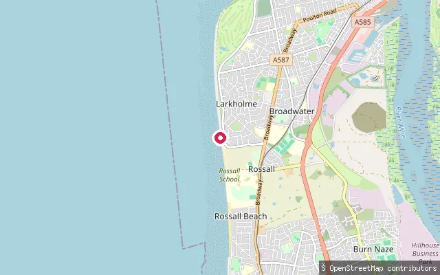 Sea
SeaWestway Slipway
Lancashire, EnglandWestway Slipway is a concrete service ramp descending to the beach near Rossall Point, on Fleetwood's southern seafront where the coast turns from the open Irish Sea into Morecambe Bay. The National Coastwatch Institute keeps a lookout over this stretch from its station a short distance to the north.
 River
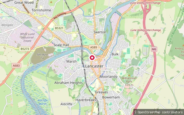
RiverVale put-in (Lancaster)
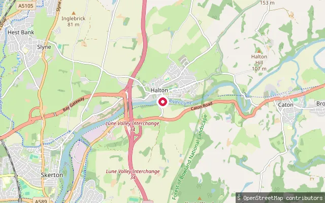
Lancashire, EnglandThis slipway is on Damside Street by The Quayside in central Lancaster, on the tidal River Lune. The Lune becomes tidal a short distance upstream, below Skerton Weir.
 Sea
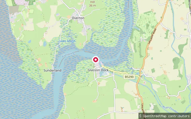
SeaGlasson Dock slipway
Lancashire, EnglandThe slipway at Glasson Dock launches onto the tidal Lune Estuary at the mouth of the River Lune, within the Morecambe Bay Site of Special Scientific Interest. The channel here holds very little water at low tide and the dock's own lock gates open only around high water, so passage past Glasson is tide-dependent.
 River
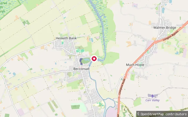
RiverBecconsall slipway (River Douglas)
Lancashire, EnglandThis concrete slipway on the tidal River Douglas sits by Douglas Marine Ltd's boatyard near Becconsall, close to where the river joins the Ribble estuary. The final stretch of the Douglas below Tarleton Lock is tidal and forms part of the Ribble Link, the Canal and River Trust route connecting the Leeds and Liverpool Canal to the Lancaster Canal.
 Sea
SeaStarr Gate slipway (Blackpool)
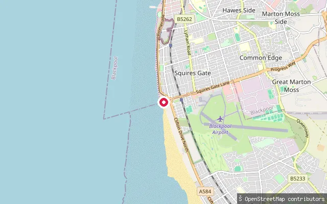
Lancashire, EnglandThis slipway sits at Starr Gate, the southern end of Blackpool's South Shore, opening onto the open Irish Sea coast rather than the sheltered Ribble Estuary further south. A concrete service road runs down to the slipway from the promenade.
 Sea
SeaSaint Anne's on the Sea put-in (Fylde)
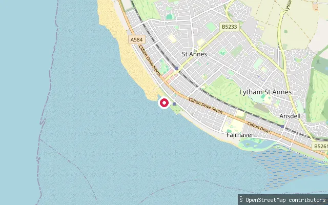
Lancashire, EnglandThis slipway at St Annes Pier is the launch point for the Lytham St Annes RNLI all-weather lifeboat, tractor-launched onto the sands at the mouth of the Ribble Estuary. St Anne's-on-the-Sea, to give the town its full name, sits where the estuary's tidal sandbanks meet the open Fylde coast.
 Sea
SeaRossall Beach put-in (Wyre)
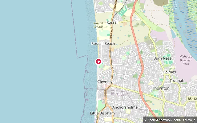
Lancashire, EnglandRossall Beach lies on the Fylde coast south of Fleetwood, near Rossall Point where the open Irish Sea gives way to Morecambe Bay. The slipway is a service road down to the beach, open to pedestrians, with vehicle access restricted to private use.
 River
RiverMartholme put-in, River Calder
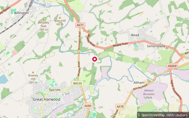
Lancashire, EnglandThis whitewater put-in sits on the River Calder at Martholme, where a disused railway viaduct crosses the river between Great Harwood and Read, shortly before Sabden Brook joins and the river passes under the A680 at Cock Bridge. No sourced access or navigation position could be found for this stretch.
 Sea
SeaWyre Estuary Country Park slipway
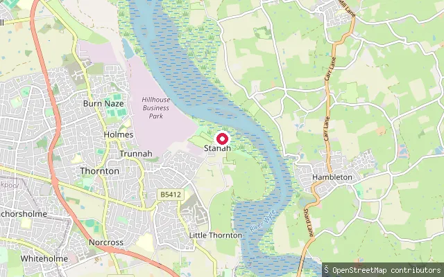
Lancashire, EnglandWyre Estuary Country Park at Stanah sits on the west bank of the tidal River Wyre, a broad estuary running about eleven miles from Little Eccleston down to the sea between Fleetwood and Knott End-on-Sea, where the banks are largely saltmarsh and intertidal mudflat that empties and fills with the tide.
 River
RiverSkippool slipway (River Wyre)
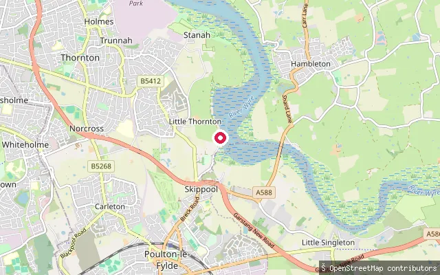
Lancashire, EnglandThis slipway on Wyre Road gives access to the River Wyre at Skippool, a former trading port on the river's west bank between Little Thornton and Poulton-le-Fylde. The old Skippool Creek alongside, once busy with cargo ships, now holds a scatter of derelict vessels.
 River
RiverQuernmore put-in (Lancaster)
Lancashire, EnglandThis slipway is on Station Road in Quernmore village, southeast of Lancaster, in the valley of the River Conder. The Conder rises near Littledale and flows southwest through Quernmore's wide glacial valley before eventually joining the Lune estuary near Conder Green.
 Sea
SeaPreesall put-in (Wyre)
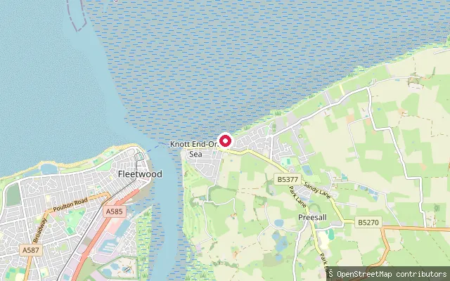
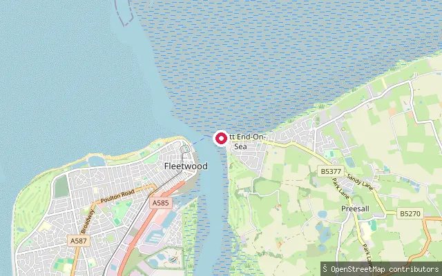
Lancashire, EnglandThis slipway is off Clarence Avenue at Knott End-on-Sea, on the Preesall side of the River Wyre estuary close to where it meets the sand and wetland flats of the estuary mouth. Neighbouring OSM features tag wetland, beach and coastline here, reflecting the estuary's open, tidal character.
 Sea
SeaPreesall put-in (Wyre)
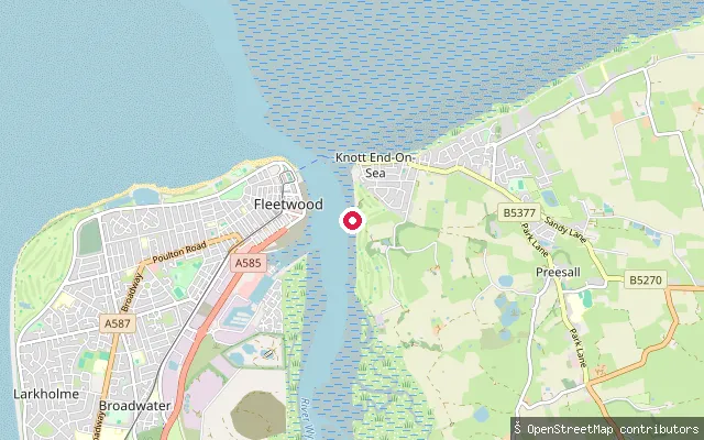
Lancashire, EnglandThis slipway is on Wyre Side near Knott End Pier, on the Preesall bank of the River Wyre estuary, and forms part of both the Wyre Way and the Lancashire Coastal Way long-distance paths. The passenger ferry to Fleetwood crosses the estuary close by.
 Sea
SeaPreesall put-in (Wyre)
Lancashire, EnglandThis slipway is on Wyre Side at Knott End-on-Sea, in the Preesall area on the eastern bank of the River Wyre estuary opposite Fleetwood. A local operator runs flat-water sea-kayaking trips of four to six miles along this estuary, rated easy, with seals, herons and cormorants reported along the way.
 Lake
LakeJackdaw Quarry put-in (Capernwray)
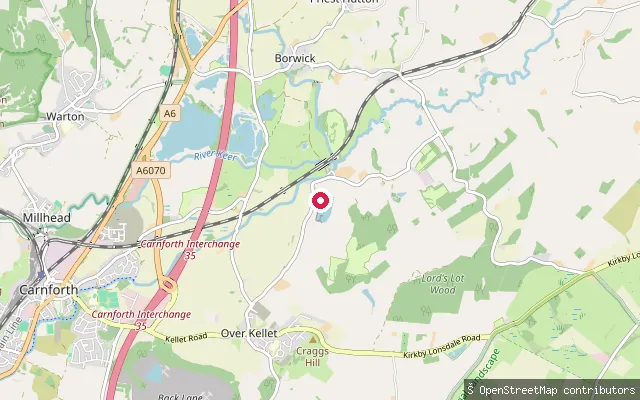
Lancashire, EnglandThis is Jackdaw Quarry, a flooded former limestone quarry near Capernwray run as the private Capernwray Dive Centre. Entry is by day pass or membership, checked in at the gate, and the site is used mainly for scuba diving and open-water swimming.
 Sea
SeaMarine Road Central slipway (wood), Morecambe
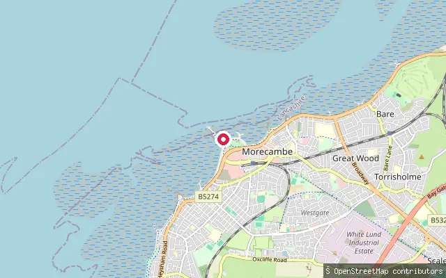
Lancashire, EnglandThis wooden slipway on Marine Road Central launches onto Morecambe Bay towards the West End of Morecambe's seafront. Another slipway (way/1049456670) is mapped about 35 metres away, so the two may be the same structure recorded twice.
 Sea
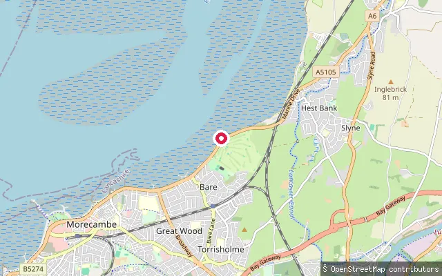
SeaScalestones Point slipway, Bare
Lancashire, EnglandThis slipway launches onto Morecambe Bay at Scalestones Point, where Bare meets Hest Bank on the northern edge of Morecambe. The bay is open sand and mud at low water and its incoming tide crosses the flats quickly, a hazard underlined by the 2004 cockling disaster further out in the bay. Hest Bank, just along the shore, was historically the starting point for guided crossings of the sands to Grange-over-Sands.
 Sea
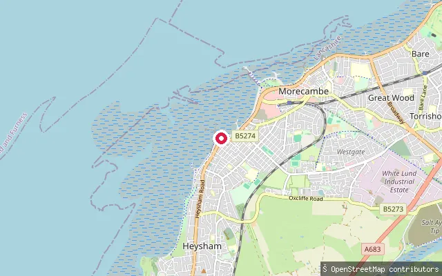
SeaMorecambe put-in (Lancaster)
Lancashire, EnglandThis slipway is on the Morecambe seafront in the area known as The Battery, opening onto Morecambe Bay, a large tidal inlet of the Irish Sea with extensive sandflats exposed at low water.
 Sea
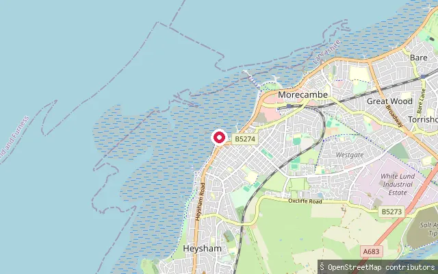
SeaSandylands Promenade slipway, Morecambe
Lancashire, EnglandThis slipway is on Sandylands Promenade in Morecambe's West End, launching onto the open sand and mudflats of Morecambe Bay. Three more mapped slipways sit within about 85 metres (node/9330075933, node/9330075983, node/9330075938, none in this batch), suggesting a small cluster of access points along this stretch rather than one distinct slipway.
 Sea
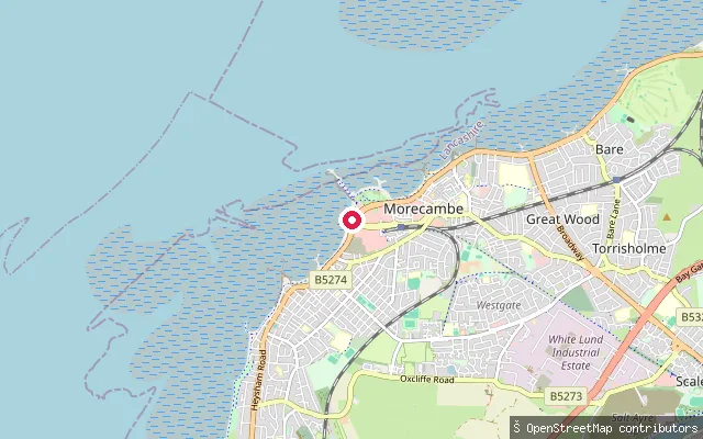
SeaMorecambe promenade slipway (West End)
Lancashire, EnglandThis slipway sits on the seafront road towards Morecambe's West End, opening onto the sand and mudflats of Morecambe Bay. The bay's tide floods the flats quickly, the same hazard behind the 2004 cockling disaster further out in the bay.
 Sea
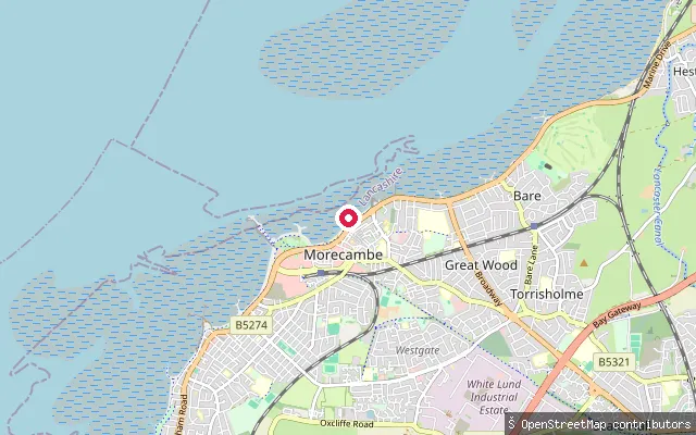
SeaMarine Road Central slipway, Morecambe
Lancashire, EnglandThis slipway on Marine Road Central is marked on nautical charts as a small-craft facility and gives access to Morecambe Bay from the town's central seafront. A near-identical slipway (node/830627943) is mapped about 70 metres away.
 Sea
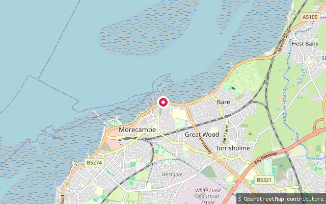
SeaMarine Road East slipway, Morecambe
Lancashire, EnglandThis slipway sits on Marine Road East on Morecambe's seafront, in the Poulton-le-Sands part of the town, and opens onto the sand and mudflats of Morecambe Bay. The bay's tide floods the flats quickly, and Morecambe's RNLI station has run Britain's first operational lifesaving hovercraft from the seafront since 2002.
 Sea
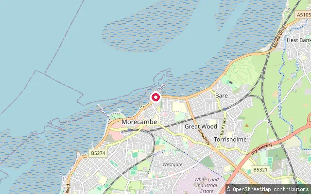
SeaMarine Road East slipway, Morecambe
Lancashire, EnglandThis slipway lies further along Marine Road East towards the centre of Morecambe, launching onto the sand and mudflats of Morecambe Bay. Another mapped slipway (node/830326826) sits about 85 metres away, so the two may represent the same access point recorded twice.
 Sea
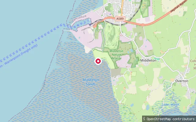
SeaMiddleton Sands slipway
Lancashire, EnglandThis slipway gives beach access onto Morecambe Bay at Middleton Sands, next to Ocean Edge Holiday Park south of Heysham. Morecambe Bay is the largest expanse of intertidal mudflats and sand in the UK, with fast-moving tides across its wide flats.
Save your own spots
Keep the places you launch, check the wind and shelter before you go, and log every paddle. Add a spot to the directory too, and other paddlers will find it. Free to start.
Some launch spots in this directory are seeded from open data. © OpenStreetMap contributors · Open Database Licence (ODbL) · Machine-readable copy