Paddleboarding spots in Cornwall
121 launch spots across Cornwall
This weekend’s calmest picks in Cornwall
See the ranked launch spots for the best conditions this weekend
Many inland waterways need a licence to paddle. Check with Paddle UK before you go.
Every mapped spot in Cornwall
Zoom in to split a cluster; open a pin for the spotMap of every spot in Cornwall
The interactive map opens on any device with JavaScript. The full list of launch spots is below.
Launch spots
Showing 24 of 121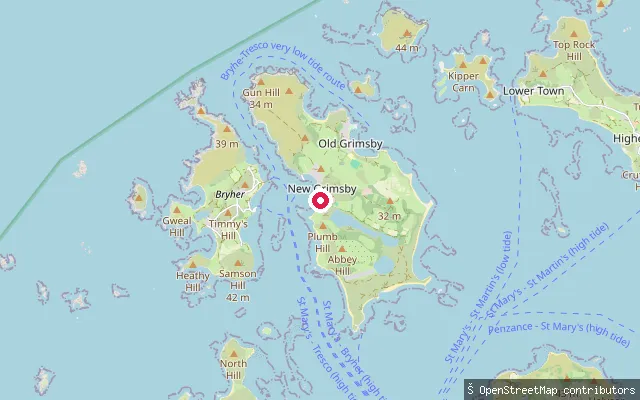 Sea
SeaOld Seaplane Slip, New Grimsby
Cornwall, EnglandThe Old Seaplane Slip launches from New Grimsby on Tresco into the Tresco Channel, the tidal strait separating Tresco from Bryher. Sandflats in the channel are exposed at low tide, and on some low tides it is possible to walk between Bryher and Tresco; a high-tide landing pier also serves New Grimsby.
 Sea
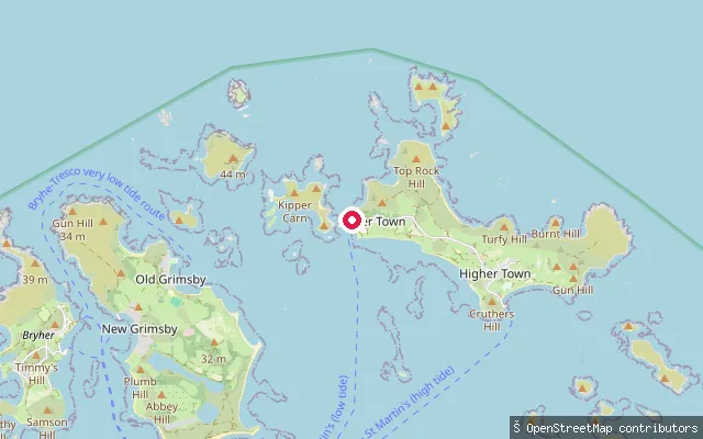
SeaLower Town Quay, St Martin's
Cornwall, EnglandLower Town Quay serves Lower Town on St Martin's, Isles of Scilly, and is used at low tide, with Higher Town Quay taking over at high tide. It launches onto open water among the Isles of Scilly's eastern islands, and ferries also use it on the low-tide route between St Mary's and St Martin's.
 Sea
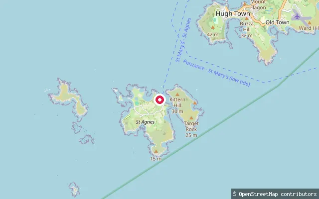
SeaHigher Town slipway, St Agnes
Cornwall, EnglandThis slipway sits on Old Lane in Higher Town, on the eastern side of St Agnes in the Isles of Scilly, close to the sandbar (the Bar) that links St Agnes to Gugh at low tide. It launches onto open water off the island's coast.
 Sea
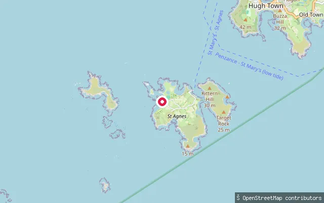
SeaMiddle Town slipway, St Agnes
Cornwall, EnglandThis slipway lies on New Lane in Middle Town, on the island of St Agnes in the Isles of Scilly. It launches onto open water off the island's coast, in a part of the world with one of England's largest tidal ranges, close to six metres at nearby St Mary's.
 Sea
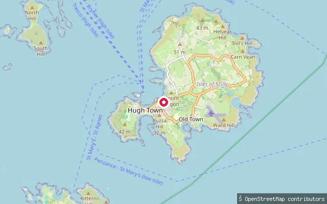
SeaPorth Mellon put-in (Hugh Town)
Cornwall, EnglandPorth Mellon is a sand beach on the north side of the Hugh Town isthmus on St Mary's, Isles of Scilly, facing the sheltered anchorage between St Mary's and Tresco. The put-in is a concrete track and slipway off Telegraph Road.
 Sea
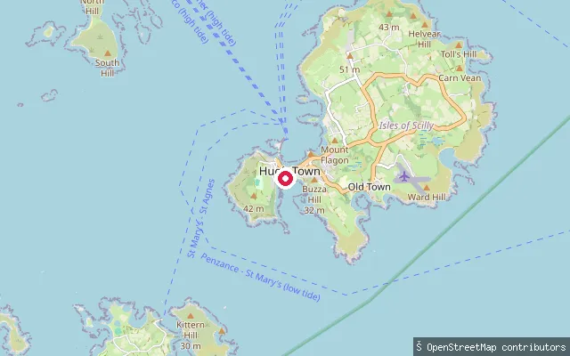
SeaLittle Porth slipway (Hugh Town)
Cornwall, EnglandLittle Porth is a small sand beach on the south side of Hugh Town, St Mary's, Isles of Scilly. The put-in is a named slipway, Little Porth, at the beach itself.
 Sea
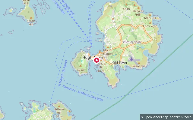
SeaPorthcressa put-in (Hugh Town)
Cornwall, EnglandPorthcressa is the main south-facing beach of Hugh Town on St Mary's, Isles of Scilly, backed by the town promenade. This put-in is a slipway on Porthcressa Promenade.
 Sea
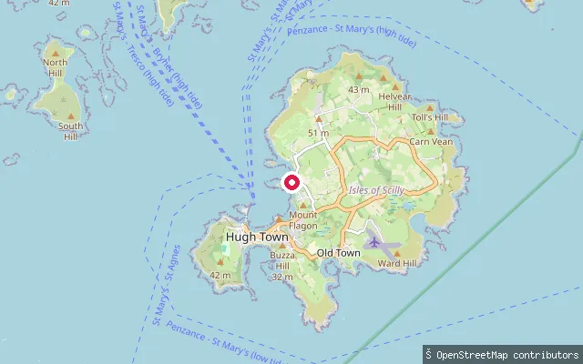
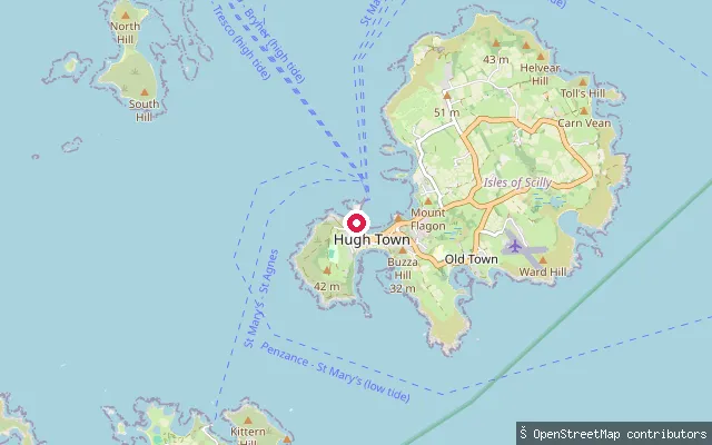
SeaPorthloo Slipway (Porthloo)
Cornwall, EnglandPorthloo is a hamlet and cove on the north-west coast of St Mary's, Isles of Scilly, facing the sheltered channel toward Tresco and Samson. The put-in is the named Porthloo Slipway on The Promenade.
 Sea
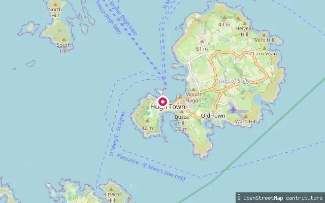
SeaMermaid Slip (Hugh Town)
Cornwall, EnglandArlo Porth is a small sand beach on the west side of Hugh Town, St Mary's, Isles of Scilly, near the Garrison. Mermaid Slip is a named slipway giving access to it, about 80 m from the neighbouring Atlantic Slip.
 Sea
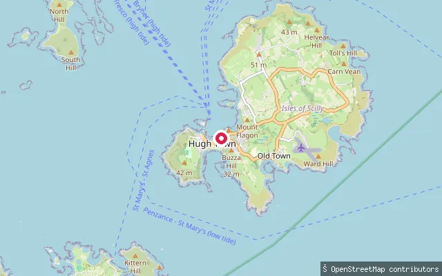
SeaAtlantic Slip (Hugh Town)
Cornwall, EnglandArlo Porth is a small sand beach on the west side of Hugh Town, St Mary's, Isles of Scilly, near the Garrison. Atlantic Slip is a named slipway giving access to it, about 80 m from the neighbouring Mermaid Slip.
 Sea
SeaRechabite Slip (Hugh Town)
Cornwall, EnglandRechabite Slip is a named slipway on Porthcressa Promenade in Hugh Town, St Mary's, Isles of Scilly, giving access to Porthcressa beach on the south side of the town.
 Sea
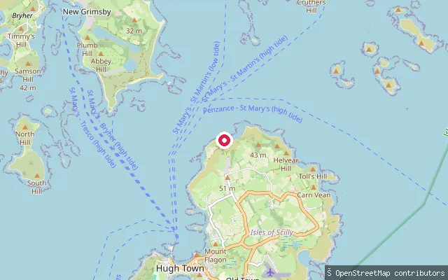
SeaPendrathen Slipway (Hugh Town)
Cornwall, EnglandPendrathen is a small bay on the north coast of St Mary's, Isles of Scilly, near Telegraph, north of Hugh Town. The put-in is the named Pendrathen Slipway, a concrete slipway on a short service road.
 Sea
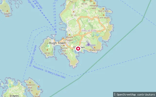
SeaOld Town Bay put-in (Old Town)
Cornwall, EnglandOld Town Bay is a sheltered bay on the south coast of St Mary's, Isles of Scilly, site of the island's original harbour before Hugh Town's was developed. The put-in is a concrete service slipway on Rocky Hill, close to Old Town village and its church.
 Sea
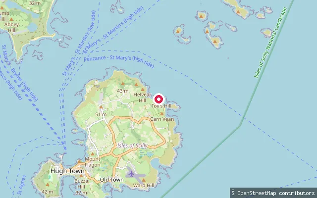
SeaNorth Pelistry put-in (Pelistry)
Cornwall, EnglandNorth Pelistry is a bay on the east coast of St Mary's, Isles of Scilly, next to Pelistry Beach and below Mount Todden. The put-in is a path and slipway reached from Pelistry Lane.
 River
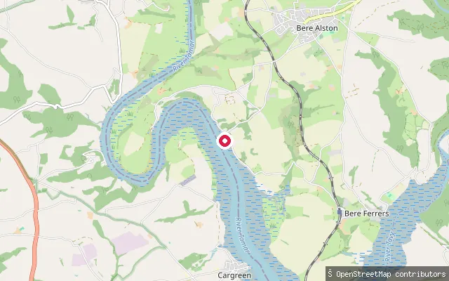
RiverCargreen put-in (Cornwall)
Cornwall, EnglandThis slipway is at Cargreen, a village on the Cornish bank of the tidal River Tamar opposite Weir Quay in Devon. Reverse geocoding places it in Cornwall rather than on the Bere Ferrers side of the estuary carried over from the original harvest.
 Sea
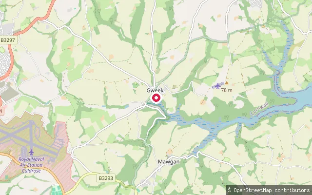
SeaGweek Quay slipway
Cornwall, EnglandGweek stands at the head of navigation on the tidal Helford River in west Cornwall and has served as a port since Roman times. This slipway is part of Gweek Quay Boatyard, on the river's upper tidal reach.
 Lake
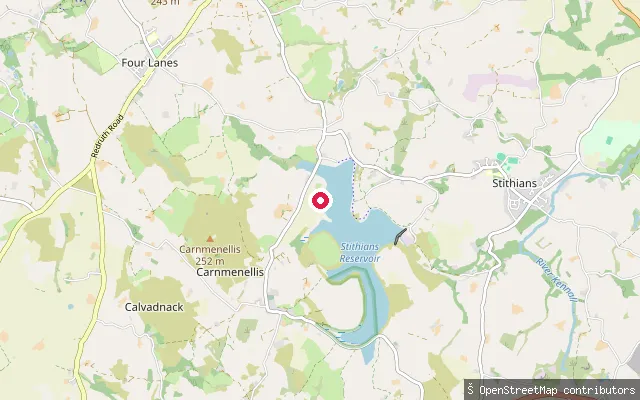
LakeStithians Reservoir slipway
Cornwall, EnglandThis slipway is on Stithians Reservoir, a South West Water reservoir about a mile west of Stithians village covering roughly 1.1 square kilometres. South West Lakes Trust manages watersports there and requires a permit for paddleboarding.
 River
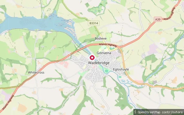
RiverWadebridge put-in
Cornwall, EnglandThis slipway launches onto the River Camel at Wadebridge, on the Bodieve bank close to another put-in a little further along the same bank. The river is tidal here, and Wadebridge was historically the highest point on the Camel that vessels could reach.
 Sea
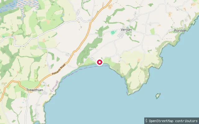
SeaCarne Beach slipway
Cornwall, EnglandCarne Beach forms the eastern end of a broad, south-facing bay on Cornwall's Roseland Peninsula, in Veryan parish. The National Trust owns and manages the beach and its slipway, and at low tide the sand joins neighbouring Pendower Beach to the west to form one continuous stretch over a mile long.
 River
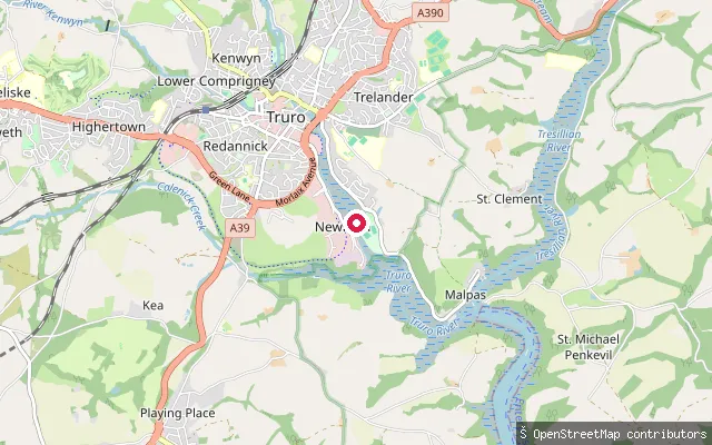
RiverNewham slipway (River Truro)
Cornwall, EnglandThis slipway is at Newham, Truro's historic dockside on the tidal River Truro, which forms from the Kenwyn and Allen and stays navigable down to the wider Fal Estuary and Carrick Roads. The site, once the terminus of a Victorian railway branch, is now a business park reached off Newham Road.
 Sea
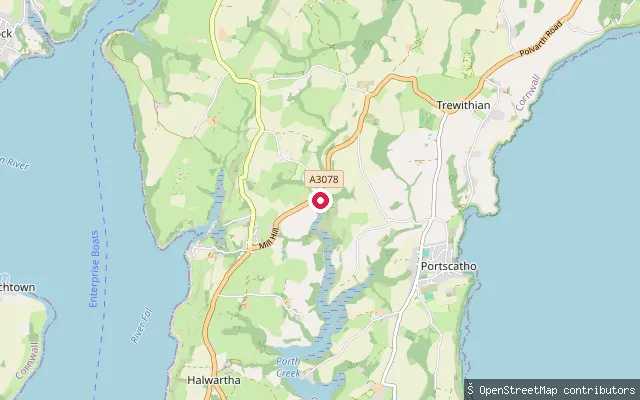
SeaSt Just Creek slipway (St Just in Roseland)
Cornwall, EnglandThis slipway launches onto St Just Creek, a tidal arm of the Fal Estuary beside Carrick Roads, next to the waterside churchyard of St Just in Roseland. The creek dries at low tide close to the church.
 Sea
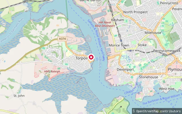
SeaTorpoint put-in
Cornwall, EnglandThis slipway is on Quarry Street on the Torpoint waterfront, launching onto the Hamoaze, the tidal estuary of the River Tamar opposite Devonport. The King's Harbour Master for Plymouth controls navigation here because of the naval traffic serving HMNB Devonport across the water.
 Sea
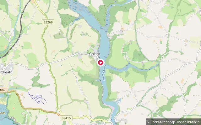
SeaGolant slip
Cornwall, EnglandThis slipway is at Golant, a village on the west bank of the Fowey Estuary about two miles upstream from Fowey, within the ecclesiastical and civil parish of St Sampson. Fowey Harbour Commissioners require paddlers to register their craft and pay an annual harbour due for use of the estuary.
 Sea
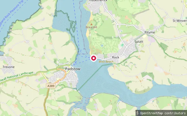
SeaSt. Minver Lowlands put-in (Rock)
Cornwall, EnglandThis slipway is on Rock Road in Rock, on the east bank of the tidal Camel Estuary opposite Padstow. Rock is a centre for sailing and other marine leisure on the estuary, and the slipway is charted as a small-craft facility.
Save your own spots
Keep the places you launch, check the wind and shelter before you go, and log every paddle. Add a spot to the directory too, and other paddlers will find it. Free to start.
Some launch spots in this directory are seeded from open data. © OpenStreetMap contributors · Open Database Licence (ODbL) · Machine-readable copy