Paddleboarding spots in Cambridgeshire
30 launch spots across Cambridgeshire
This weekend’s calmest picks in Cambridgeshire
See the ranked launch spots for the best conditions this weekend
Many inland waterways need a licence to paddle. Check with Paddle UK before you go.
Every mapped spot in Cambridgeshire
Zoom in to split a cluster; open a pin for the spotMap of every spot in Cambridgeshire
The interactive map opens on any device with JavaScript. The full list of launch spots is below.
Launch spots
Showing 24 of 30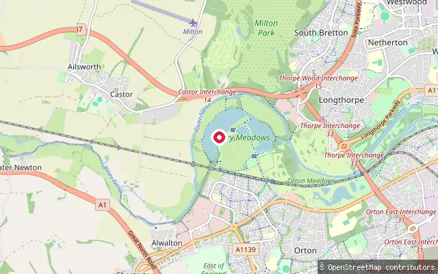 River
RiverOrton Waterville put-in
Cambridgeshire, EnglandThis slipway launches onto the River Nene at Orton Waterville, within Nene Park and close to Orton Lock. The Environment Agency is the navigation authority for the river along this reach.
 Lake
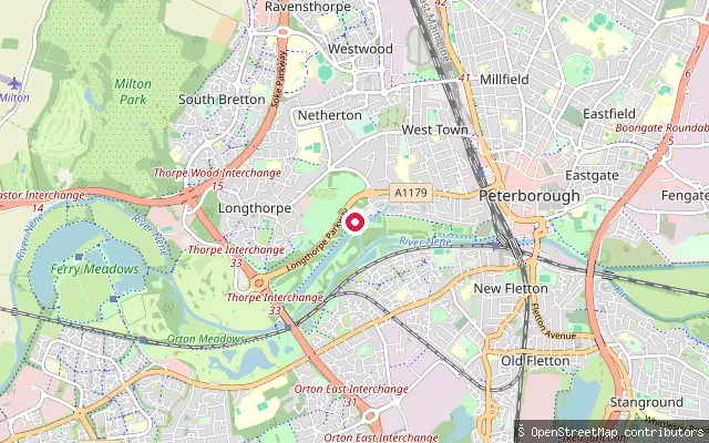
LakeThorpe Meadows Rowing Lake put-in (Peterborough)
Cambridgeshire, EnglandThis slipway sits on Thorpe Meadows Rowing Lake, a purpose-built lake within Nene Park on the western edge of Peterborough. Peterborough City Rowing Club has been based on the lake since 1983 and it is also used for canoe sprint training.
 Lake
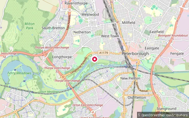
LakeThorpe Meadows Rowing Lake put-in (Peterborough)
Cambridgeshire, EnglandThis slipway sits on Thorpe Meadows Rowing Lake, a purpose-built lake within Nene Park on the western edge of Peterborough. Peterborough City Rowing Club has been based on the lake since 1983 and it is also used for canoe sprint training.
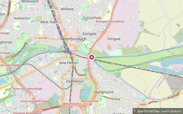
Eastgate put-in (Peterborough)
Cambridgeshire, EnglandThis slipway sits in the Eastgate area of Peterborough, close to the River Nene. Which named waterway it launches onto has not been confirmed: OpenStreetMap shows both the River Nene and the King's Dyke drainage channel running within about 150 metres of the site.
 River
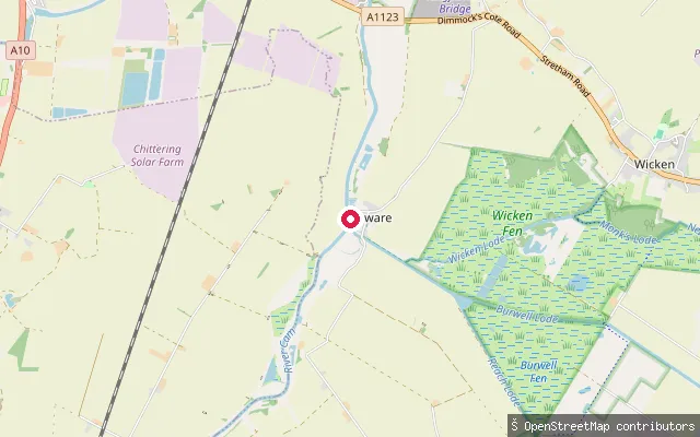
RiverUpware slipway, Old School Lane
Cambridgeshire, EnglandA second slipway on the River Cam at Upware, reached off Old School Lane, a few hundred metres from the Tip Tree Marina launch point in the same hamlet.
 River
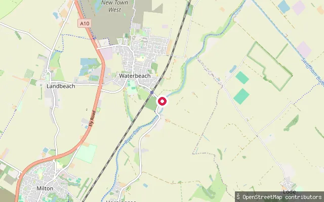
RiverCam Sailing Club slipway, Clayhithe (upstream)
Cambridgeshire, EnglandA second slipway on the River Cam close to Cam Sailing Club at Clayhithe, about 45 metres from another mapped launch point on the same bank.
 River
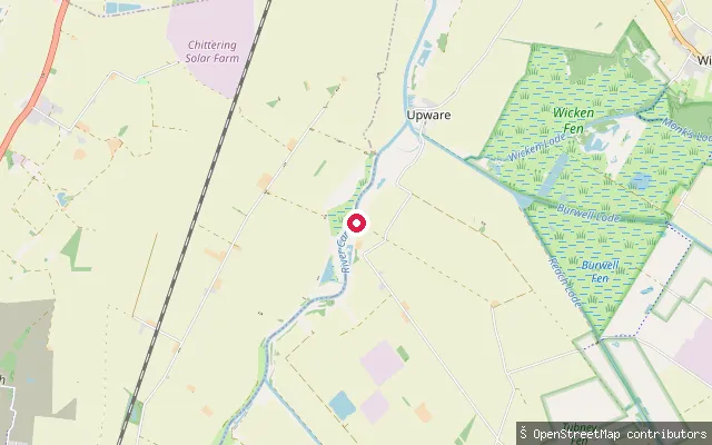
RiverUpware slipway, Tip Tree Marina
Cambridgeshire, EnglandThis slipway sits on the River Cam at Upware, a small hamlet on the river's east bank in Swaffham Prior parish, next to Tip Tree Marina. Upware has long served leisure boats on the Cam, including the nearby Five Miles From Anywhere Inn, a former Fen pub that reopened in 1995 largely to serve passing river traffic.
 River
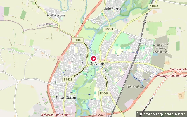
RiverSt Neots slipway (north)
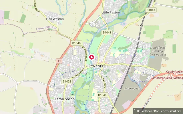
Cambridgeshire, EnglandA slipway on the River Great Ouse in St Neots, a few hundred metres north of the town bridge along the riverside path, within the same stretch of river as St Neots Riverside Park — part of a lock-and-weir navigation that runs from Bedford to the Wash at King's Lynn.
 River
RiverSt Neots slipway (further north)
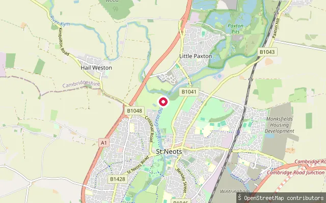
Cambridgeshire, EnglandA slipway on the west bank of the River Great Ouse in St Neots, roughly 550 metres north of the town bridge and about 160 metres beyond the previous launch point on the same bank. The river here is lock-controlled and freshwater; the Great Ouse only turns tidal much further downstream, beyond Earith.
 River
RiverSt Neots slipway
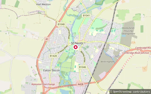
Cambridgeshire, EnglandThis slipway launches onto the River Great Ouse on the edge of St Neots in Cambridgeshire, on a non-tidal stretch of the Great Ouse Navigation managed by the Environment Agency. St Neots Lock lies close by, and Anglian navigation byelaws set a 4 to 7 mph speed limit on this section of river.
 River
RiverSt Neots slipway
Cambridgeshire, EnglandSt Neots sits on a lock-managed, non-tidal stretch of the River Great Ouse in Cambridgeshire. The slipway launches from the edge of the 72-acre Riverside Park and its mile-long river frontage, with the St Neots Common Site of Special Scientific Interest a short way along the bank.
 River
RiverSt Ives slipway
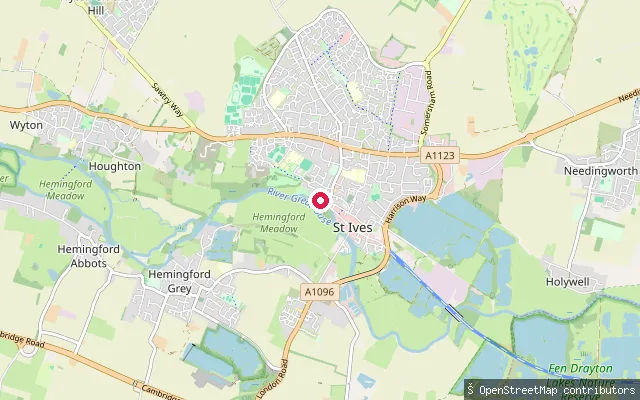
Cambridgeshire, EnglandThis slipway on the River Great Ouse sits in St Ives, Cambridgeshire, close to the town's medieval bridge, which carries a rare surviving bridge chapel dedicated to St Leger and dates from 1426. St Ives Rowing Club, founded in 1865, is based on this stretch, and the wooded Holt Island nature reserve, formed where the river splits, lies nearby.
 Lake
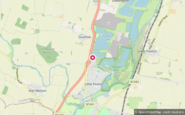
LakeSouthlake Waterpark slipway
Cambridgeshire, EnglandThis slipway serves South Lake at Southlake Waterpark, a commercial watersports venue built around three former gravel-pit lakes near Southoe in Cambridgeshire. The park runs bookable sessions for wakeboarding, an inflatable aqua park, open-water swimming and paddleboarding, and does not offer casual unbooked access.
 River
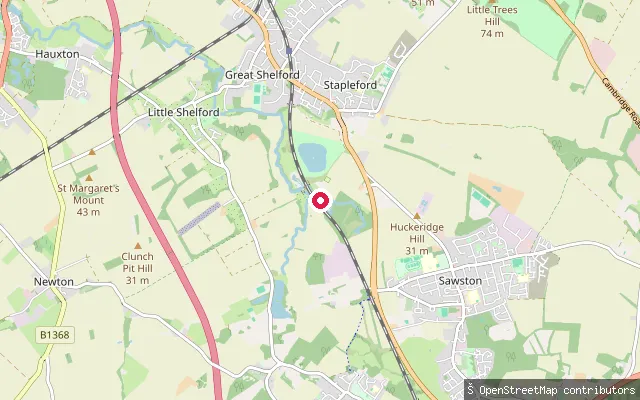
RiverSawston put-in (South Cambridgeshire)
Cambridgeshire, EnglandThis slipway launches onto the River Cam at Sawston, a village about seven miles south of Cambridge, near Dernford Farm and the confluence with the River Granta.
 Lake
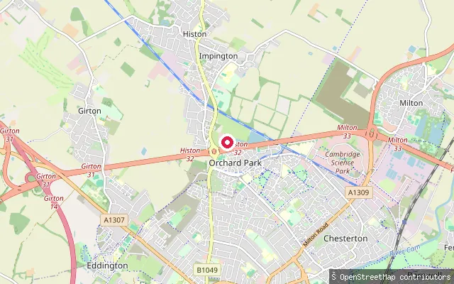
LakeCawcutts Lake slipway, Impington
Cambridgeshire, EnglandThis slipway sits on Cawcutts Lake, a small lake at Manor Farm, Impington, run as a private syndicate carp fishery by Embryo Angling.
 River
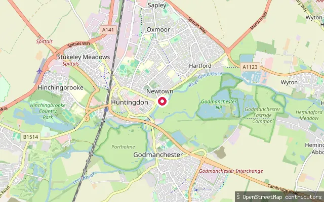
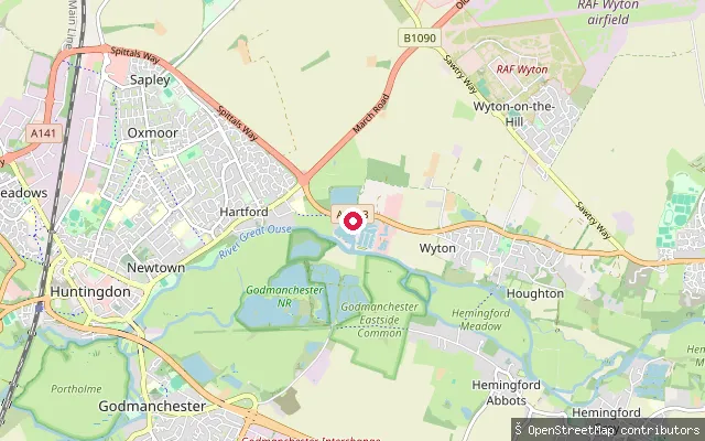
RiverHuntingdon slipway
Cambridgeshire, EnglandThis OSM way tags a slipway on the River Great Ouse at Huntingdon, a few metres from a separately mapped slipway point. Huntingdon's medieval bridge, once carrying Ermine Street, stands close by on this reach of the river.
 River
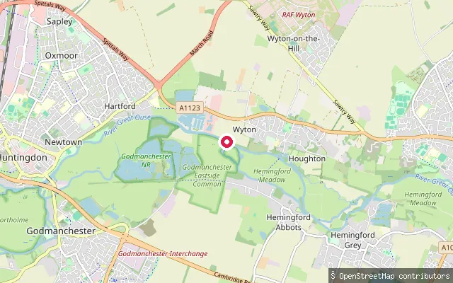
RiverHoughton slipway
Cambridgeshire, EnglandThis slipway sits on the River Great Ouse near Houghton, Cambridgeshire, close to Houghton Mill, the last working watermill on the Great Ouse and now run by the National Trust. Houghton Lock lies on this reach, and the Environment Agency requires a navigation licence for craft using the river here.
 River
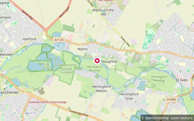
RiverHoughton Lock slipway
Cambridgeshire, EnglandThis slipway on the River Great Ouse lies on the Houghton Lock reach between Houghton and Hemingford Grey, Cambridgeshire. The Environment Agency requires a navigation licence for craft on this stretch.
 River
RiverHemingford Abbots slipway
Cambridgeshire, EnglandHemingford Abbots slipway sits on the River Great Ouse on the Houghton Lock reach, with Houghton Mill close by on the bank. The National Trust's canoe trail passes through here on its route from the mill towards St Ives.
 River
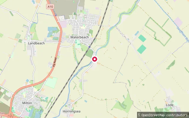
RiverClayhithe slipway
Cambridgeshire, EnglandThis slipway launches onto the River Cam at Clayhithe, the small hamlet between Horningsea and Waterbeach where the Conservators of the River Cam are based. The Conservators require craft, including canoes and paddleboards, to register for the stretch of river between Mill Pond in Cambridge and Bottisham Lock.
 River
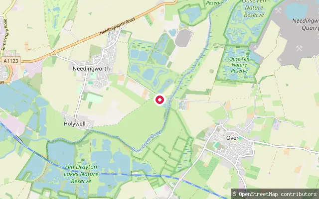
RiverHolywell-cum-Needingworth put-in (Huntingdonshire)
Cambridgeshire, EnglandThis slipway sits on the River Great Ouse on Overcote Lane near Needingworth, within the civil parish of Holywell-cum-Needingworth, close to the Pike & Eel Marina. The Environment Agency treats this reach as part of the Anglian Waterways, where unpowered craft such as canoes and paddleboards need registration.
 River
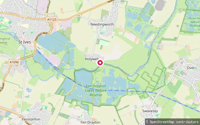
RiverHolywell put-in
Cambridgeshire, EnglandThis slipway is on Holywell Front, the riverside road in the village of Holywell that floods when the Great Ouse rises across the adjoining meadows, close to the historic Old Ferry Boat Inn crossing point. OSM records it as a free, mud-surfaced slipway open to unpowered access with no vehicle access.
 Lake
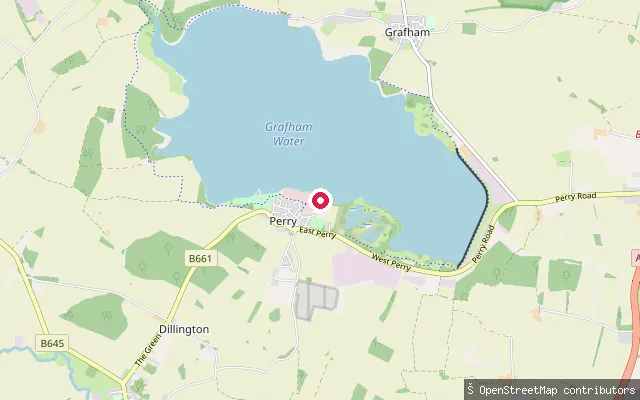
LakeGrafham Water slipway (Hill Farm)
Cambridgeshire, EnglandGrafham Water is a 6.28 km2 drinking-water reservoir near Huntingdon in Cambridgeshire, built in 1965 and still operated by Anglian Water. This slipway sits on the reservoir's south-western shore near Perry, within the stretch of shoreline used by Grafham Water Sailing Club and Grafham Water Centre.
 River
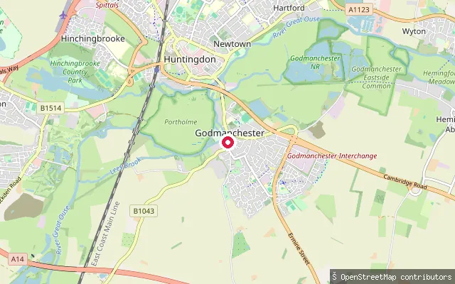
RiverGodmanchester slipway
Cambridgeshire, EnglandThis slipway on the River Great Ouse at Godmanchester is reached by a rough track that ramps down to the water; OSM records it as a grade-3 track with poor surface, closed to motor vehicles. Portholme, a large riverside meadow, lies between the town and neighbouring Huntingdon, and the Environment Agency requires a navigation licence for craft on this reach.
Save your own spots
Keep the places you launch, check the wind and shelter before you go, and log every paddle. Add a spot to the directory too, and other paddlers will find it. Free to start.
Some launch spots in this directory are seeded from open data. © OpenStreetMap contributors · Open Database Licence (ODbL) · Machine-readable copy