Paddleboarding spots in Lincolnshire
25 launch spots across Lincolnshire
This weekend’s calmest picks in Lincolnshire
See the ranked launch spots for the best conditions this weekend
Many inland waterways need a licence to paddle. Check with Paddle UK before you go.
Every mapped spot in Lincolnshire
Zoom in to split a cluster; open a pin for the spotMap of every spot in Lincolnshire
The interactive map opens on any device with JavaScript. The full list of launch spots is below.
Launch spots
Showing 24 of 25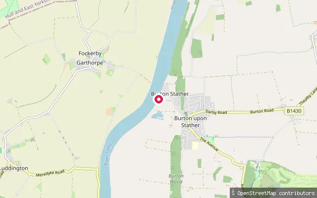 River
RiverSolitary House Slipway
Lincolnshire, EnglandSolitary House Slipway is a small launch point on the east bank of the tidal River Trent near Burton Stather, North Lincolnshire, close to the wartime Burton Tank Ramp site. No independent description of its current condition or access was found beyond its OpenStreetMap record.
 River
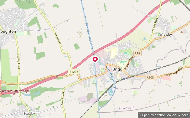
RiverIsland Carr slipway (Brigg)
Lincolnshire, EnglandThis slipway launches onto the River Ancholme close to Island Carr on the edge of Brigg, where the river's old and new channels diverge around the town. The Environment Agency manages navigation on the Ancholme and water levels can fluctuate because the channel also serves land drainage.
 River
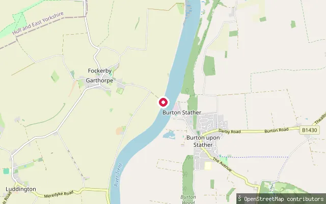
RiverGarthorpe Slipway
Lincolnshire, EnglandGarthorpe Slipway launches onto the west bank of the tidal River Trent in the Isle of Axholme village of Garthorpe, North Lincolnshire. A ferry once crossed here to Burton upon Stather until Keadby Bridge opened in 1916, and OpenStreetMap records the site as a formal small-craft facility.
 River
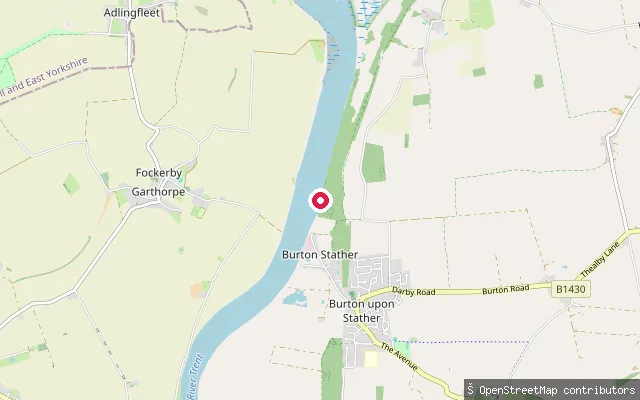
RiverBurton Tank Ramp
Lincolnshire, EnglandBurton Tank Ramp is a concrete WWII slipway on the east bank of the tidal River Trent, just north of Burton Stather in North Lincolnshire, built for testing amphibious tank crossings and listed Grade II in 2023. The Burton Stather Heritage Group's lease to the site has since expired and public access is currently lost.
 Sea
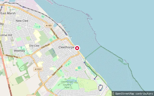
SeaCleethorpes South Promenade slipway
Lincolnshire, EnglandThis slipway leads onto the Humber Estuary along Cleethorpes' South Promenade and is charted as a small-craft facility. The estuary here opens toward the North Sea between Cleethorpes and Spurn Head, with several hundred metres of sand exposed at low tide.
 Sea
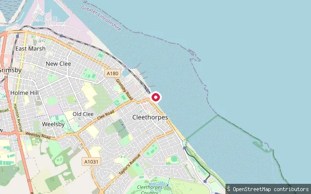
SeaCleethorpes Central Promenade slipway
Lincolnshire, EnglandThis slipway leads onto the Humber Estuary at Cleethorpes' Central Promenade, where several hundred metres of sand are exposed at low tide. Shipping bound for Grimsby, Immingham, Hull and Goole passes offshore, and the estuary opens into the North Sea between Cleethorpes and Spurn Head.
 River
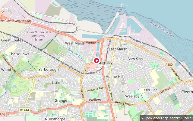
RiverRiver Freshney slipway (Holme Hill, Grimsby)
Lincolnshire, EnglandThis slipway launches onto the River Freshney in the Holme Hill area of Grimsby. The river's lower reaches were diverted in the early 18th century and now discharge into Grimsby's dock system rather than flowing directly into the Humber.
 Open water
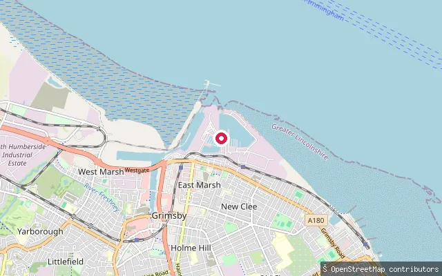
Fish Dock No. 2 slipway (East Marsh, Grimsby)
Lincolnshire, EnglandThis slipway leads into Fish Dock No. 2, part of Grimsby's historic Fish Docks in the East Marsh area, opened in 1878 and connected to the Humber Estuary through a lock. The dock sits within Grimsby's working commercial port estate, where the Humber Cruising Association also keeps a marina with lock access timed around high water.
 River
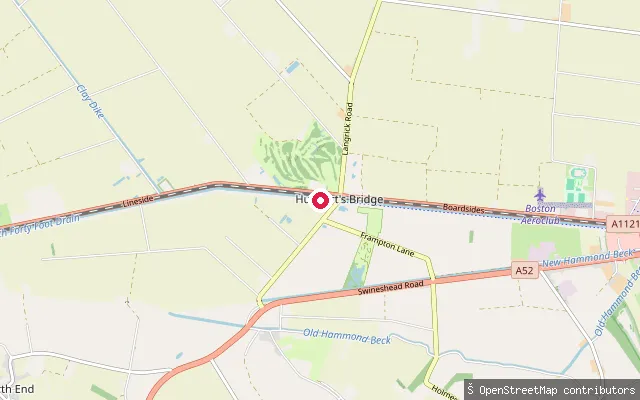
RiverSouth Forty Foot Drain slipway, Hubbert's Bridge
Lincolnshire, EnglandThis slipway launches onto the South Forty-Foot Drain at Hubbert's Bridge, a hamlet named for the crossing built here. The Environment Agency manages the drain, which is navigable for about 12 miles between Boston and Donington High Bridge and forms part of the Fens Waterways Link restoration project; a navigation licence is required to use it.
 Sea
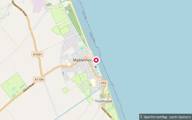
SeaMablethorpe promenade slipway
Lincolnshire, EnglandA slipway on Mablethorpe's seafront promenade, charted as a small-craft facility, giving access to the beach on the Lincolnshire coast. Mablethorpe's coastline has a long history of erosion and storm-surge flooding, and the modern promenade sits behind rebuilt sea defences.
 River
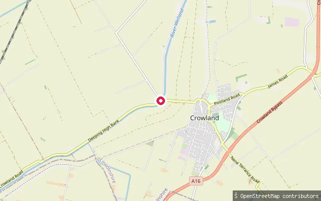
RiverRiver Welland put-in, Crowland
Lincolnshire, EnglandThis put-in sits on the River Welland close to Deeping High Bank near Crowland, South Holland, next to the Deeping Lakes nature reserve. The Environment Agency manages the Welland as navigation authority through this stretch of the Fens.
 River
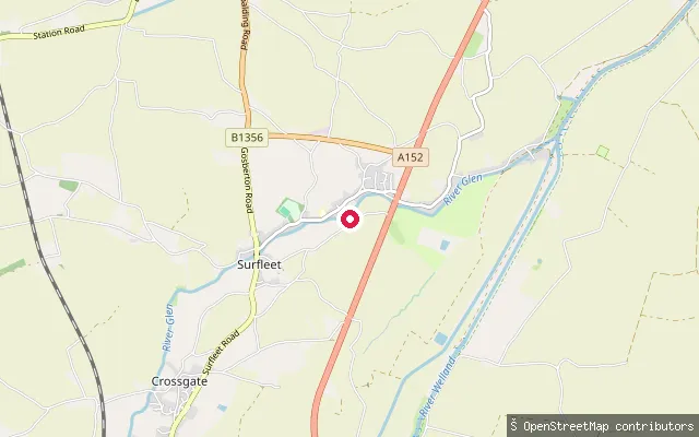
RiverSurfleet Slipway
Lincolnshire, EnglandSurfleet Slipway is a mapped boat launch on the River Glen at Surfleet, South Holland, with an adjoining car park recorded on OpenStreetMap. The Environment Agency is the Glen's navigation authority and issues licences for craft on it, and the river turns tidal near Surfleet's sluice.
 River
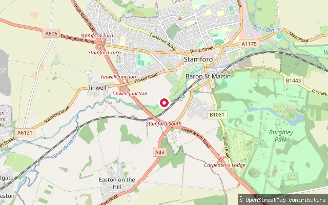
RiverFreeman's Meadow put-in, Stamford
Lincolnshire, EnglandFreeman's Meadow put-in lies on the River Welland at the upstream edge of Stamford, immediately above Broadeng Bridge. This is the extreme upper end of the navigable Welland: the Environment Agency, the river's navigation authority, describes the channel here as small and suitable only for light craft and canoes. The Welland is non-tidal at Stamford, historically the lowest fordable crossing on the river and once carried by the Roman road Ermine Street.
 Sea
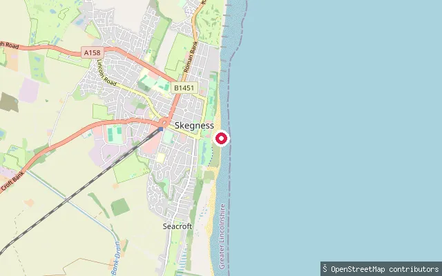
SeaTower Esplanade slipway, Skegness
Lincolnshire, EnglandA slipway on Skegness's central seafront near Tower Esplanade, a short distance from the town's RNLI lifeboat station, on the open Lincolnshire coast where the shoreline runs south towards Gibraltar Point and the entrance to The Wash.
 Lake
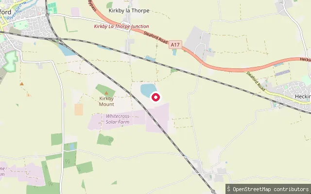
LakeKirkby la Thorpe reservoir slipway
Lincolnshire, EnglandThis coordinate sits at an unnamed reservoir in farmland near Kirkby la Thorpe, mapped in OpenStreetMap as a body of water with no name or public-access information attached. Nothing beyond the mapped outline could be confirmed for this site.
 River
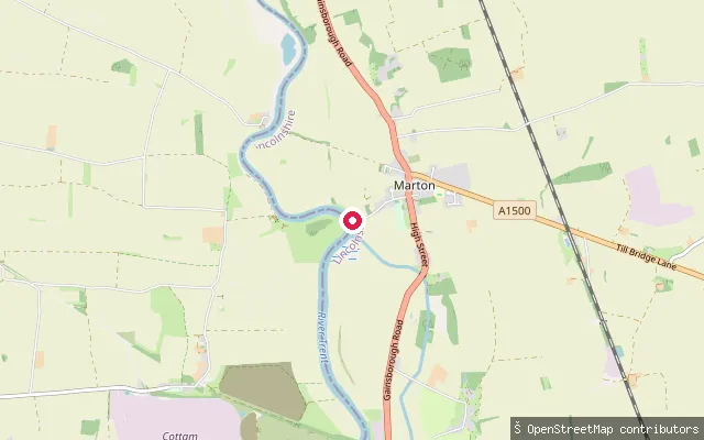
RiverRiver Trent slipway, Marton
Lincolnshire, EnglandThis slipway launches onto the River Trent at Marton, on the tidal reach of the river downstream of Cromwell Weir. The village lies on the Trent's eastern bank, roughly midway between Gainsborough and Torksey.
 Lake
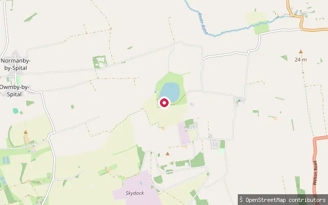
LakeToft Newton Reservoir slipway
Lincolnshire, EnglandToft Newton Reservoir is a 41-acre stocked trout water near the village of Toft Newton in West Lindsey, Lincolnshire, on the upper reaches of the River Ancholme. It is fed by a pipeline from the River Witham at Short Ferry and used to support Ancholme flows during dry summers; it is run primarily as a fishery, and no source confirming paddling access was found.
 River
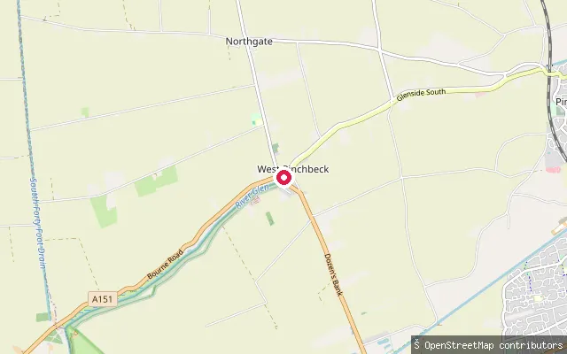
RiverRiver Glen slipway, Pinchbeck
Lincolnshire, EnglandThis launch is a slipway on the River Glen at Pinchbeck, off Glenside North close to the A151 New Bridge.
 River
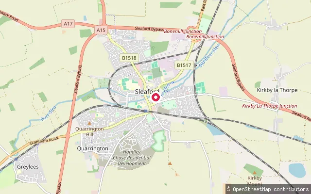
RiverEastgate Green slipway, Sleaford
Lincolnshire, EnglandThis slipway on Eastgate Green launches onto the River Slea in Sleaford town centre, on the roughly 0.6-mile stretch of the historic Sleaford Navigation that the Sleaford Navigation Trust restored and reopened up to Cogglesford Mill Lock in 2010. Wider navigation on the Slea closed in 1878 and most of the river beyond this town section is not currently navigable.
 River
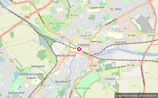
RiverBrayford Pool slipway (Lincoln)
Lincolnshire, EnglandThis slipway on Brayford Wharf East launches onto Brayford Pool, a natural widening of the River Witham in central Lincoln that has served as an inland harbour since Roman times. The pool connects west to the Fossdyke Navigation, for which the Canal and River Trust is navigation authority, and today it is lined with bars, restaurants and a university campus, with mooring for pleasure craft.
 Sea
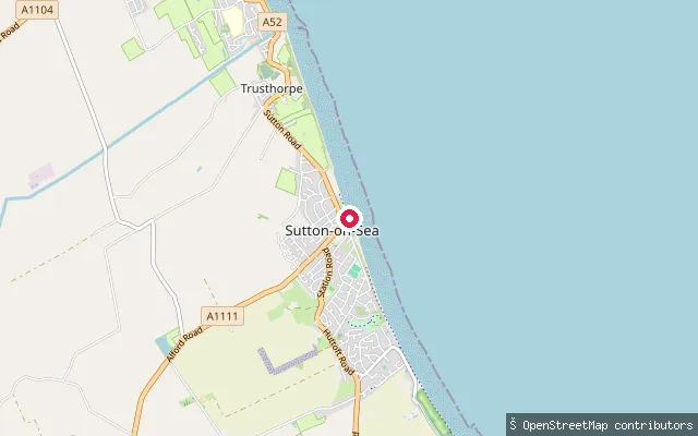
SeaBohemia Promenade slipway, Trusthorpe (north)
Lincolnshire, EnglandAn open-coast slipway on the North Sea at Trusthorpe, between Mablethorpe and Sutton-on-Sea on the Lincolnshire coast. The water here is part of a straight, macro-tidal stretch of beach where the stumps of a submerged ancient forest occasionally surface at very low tides.
 Sea
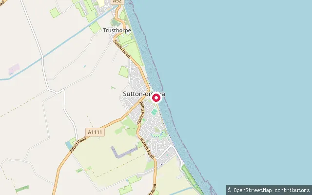
SeaBohemia Promenade slipway, Trusthorpe
Lincolnshire, EnglandA slipway on Bohemia Promenade at Trusthorpe, a small coastal village on the Lincolnshire coast roughly midway between Mablethorpe and Sutton-on-Sea, giving foot access down the sea defences to the beach.
 Canal
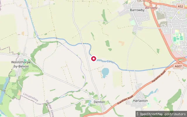
CanalGrantham Canal slipway, Denton
Lincolnshire, EnglandThe Grantham Canal runs 33 miles from the River Trent at West Bridgford to Grantham, largely disused for through navigation since the 1930s. At Denton it holds a restored, watered pound between the seven-lock Woolsthorpe flight and the A1 embankment near Grantham, the five-mile stretch the Canal & River Trust promotes for paddling. Denton Reservoir feeds this stretch, and reedbeds along the banks support breeding warblers and reed bunting.
 Canal
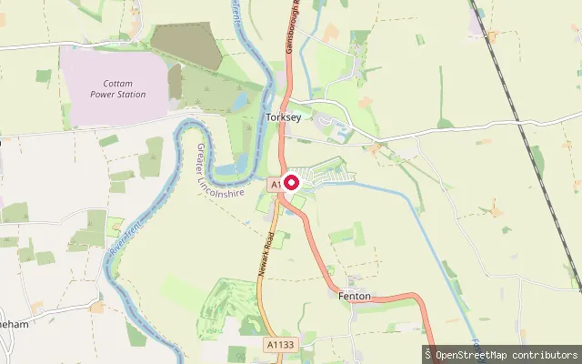
CanalFossdyke Navigation slipway, Torksey
Lincolnshire, EnglandThe Fossdyke Navigation is a Roman-built canal, among the oldest working watercourses in Britain, running eleven lock-free miles from Torksey to Brayford Pool in Lincoln. At its western end here, the canal meets the tidal River Trent at Torksey Lock.
Save your own spots
Keep the places you launch, check the wind and shelter before you go, and log every paddle. Add a spot to the directory too, and other paddlers will find it. Free to start.
Some launch spots in this directory are seeded from open data. © OpenStreetMap contributors · Open Database Licence (ODbL) · Machine-readable copy