Paddleboarding spots in Northamptonshire
8 launch spots across Northamptonshire
Many inland waterways need a licence to paddle. Check with Paddle UK before you go.
Every mapped spot in Northamptonshire
Zoom in to split a cluster; open a pin for the spotMap of every spot in Northamptonshire
The interactive map opens on any device with JavaScript. The full list of launch spots is below.
Launch spots
Showing 8 of 8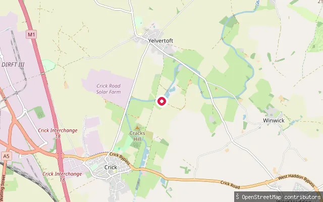 Canal
CanalYelvertoft put-in
Northamptonshire, EnglandThis slipway sits on the Grand Union Canal's Leicester Line at bridge GL17, near the village of Yelvertoft between Welford and Crick. The Canal and River Trust manages the canal, and craft need a waterways licence, available separately or as part of Paddle UK membership, to paddle it.
 Canal
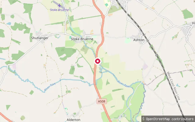
CanalStoke Bruerne slipway
Northamptonshire, EnglandThis slipway sits on the Grand Union Canal in Stoke Bruerne, a canal village with a flight of locks, a canal museum in a former corn mill, and the southern portal of the Blisworth Tunnel nearby. The Canal & River Trust manages this waterway and a waterways licence is required to paddle it.
 Lake
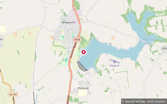
LakePitsford Water - Slipway
Northamptonshire, EnglandPitsford Water is an Anglian Water reservoir about six miles north of Northampton, next to Brixworth Country Park and the villages of Pitsford and Holcot. Northampton Sailing Club is based here and welcomes members to bring their own canoes, kayaks and paddleboards, with the reservoir open from dawn to dusk daily.
 River
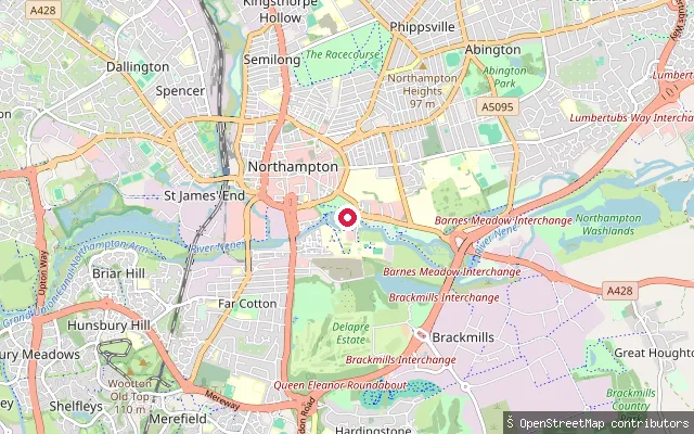
RiverNorthampton Marina slipway
Northamptonshire, EnglandThis slipway is on the River Nene in central Northampton, on Riverside Walk near the T.S. Leforey Sea Cadet unit and Northampton Marina. This stretch is part of the Nene Navigation, an Environment Agency waterway (Anglian Waterways) requiring a registered or licensed craft, which a Paddle UK membership covers.
 Lake
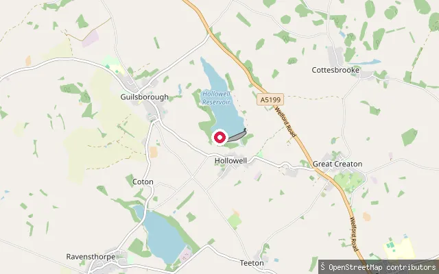
LakeHollowell put-in
Northamptonshire, EnglandThis slipway sits within Hollowell Sailing Club's grounds on Hollowell Reservoir, a 140-acre Anglian Water reservoir near Guilsborough in rural Northamptonshire. The club holds sole watersports use of the reservoir under its Anglian Water lease, and paddleboarding, canoeing and kayaking are open to sailing club members and their guests rather than the general public.
 Lake
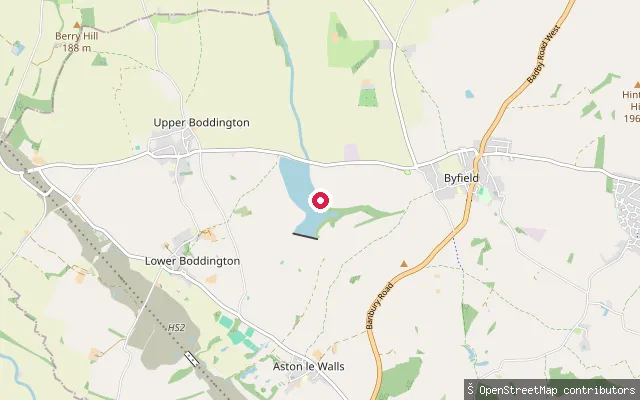
LakeBoddington Reservoir slipway (south)
Northamptonshire, EnglandBoddington Reservoir is a 65-acre Canal & River Trust reservoir near Byfield that supplies water to the Oxford and Grand Union Canals, set in open Northamptonshire countryside with the villages of Byfield and Upper Boddington close by. This slipway is one of two mapped within 25 metres of each other on its bank; published information covers fishing, and no paddling access or permit position could be confirmed.
 Canal
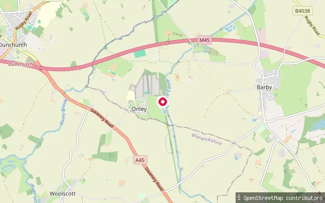
CanalDunchurch Pools Marina slipway
Northamptonshire, EnglandThis slipway serves Dunchurch Pools Marina, a private marina on the Oxford Canal near the village of Barby, close to the Warwickshire border. The Oxford Canal here is a Canal and River Trust waterway, and a waterways licence is needed to paddle it beyond the marina's own moorings.
 River
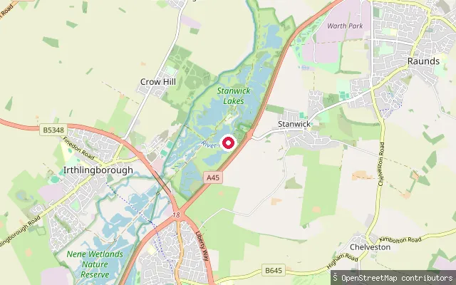
RiverIrthlingborough put-in
Northamptonshire, EnglandIrthlingborough put-in lies on the River Nene where it flows through the Nene Wetlands, a chain of flooded gravel pits and wet meadow on the floodplain between Northampton and Peterborough. The fourteenth-century Irthlingborough Bridge, listed on the National Heritage List for England, crosses the river close by.
Save your own spots
Keep the places you launch, check the wind and shelter before you go, and log every paddle. Add a spot to the directory too, and other paddlers will find it. Free to start.
Some launch spots in this directory are seeded from open data. © OpenStreetMap contributors · Open Database Licence (ODbL) · Machine-readable copy