Paddleboarding spots in Cheshire
4 launch spots across Cheshire
Many inland waterways need a licence to paddle. Check with Paddle UK before you go.
Every mapped spot in Cheshire
Zoom in to split a cluster; open a pin for the spotMap of every spot in Cheshire
The interactive map opens on any device with JavaScript. The full list of launch spots is below.
Launch spots
Showing 4 of 4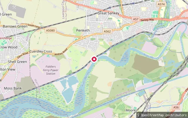 River
RiverPenketh put-in (Cuerdley Cross)
Cheshire, EnglandThis slipway launches onto the tidal River Mersey at Cuerdley Cross, on the north bank between Penketh and Fiddler's Ferry. The river has been tidal from Howley Weir in Warrington downstream, with the estuary itself usually described as widening out further downstream, from Runcorn Gap.
 Lake
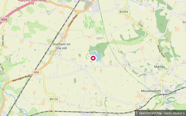
LakeManley Mere put-in
Cheshire, EnglandManley Mere is a private watersports centre on a lake within a 100-acre wooded estate near the village of Manley, Cheshire. It offers supervised paddleboarding, kayaking, sailing and windsurfing tuition, accredited by the RYA, British Canoeing and BSUPA, alongside an inflatable aqua park on its lake. Self-launch for those with their own craft needs advance online booking, though the operator sells same-day guest passes when quieter.
 River
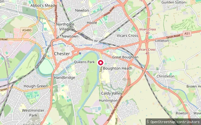
RiverRiver Dee put-in (Chester)
Cheshire, EnglandThis slipway sits in Sandy Lane Park, a Cheshire West and Chester Council riverside park roughly a mile east of Chester city centre, on the non-tidal reach of the River Dee above Chester Weir. The stretch carries a mix of powered tour boats, rowing clubs and paddlers, and in May 2026 the Sandy Lane reach became one of England's newest designated bathing waters, bringing statutory water-quality monitoring through the summer season.
 Canal
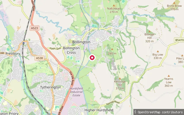
CanalBollington put-in
Cheshire, EnglandThis slipway launches onto the Macclesfield Canal on the edge of Bollington, near Clarence Mill and on the Cheshire Ring cruising route. The canal crosses the Bollington valley on two aqueducts and an embankment as it threads through the town.
Save your own spots
Keep the places you launch, check the wind and shelter before you go, and log every paddle. Add a spot to the directory too, and other paddlers will find it. Free to start.
Some launch spots in this directory are seeded from open data. © OpenStreetMap contributors · Open Database Licence (ODbL) · Machine-readable copy