Paddleboarding spots in Dorset
33 launch spots across Dorset
This weekend’s calmest picks in Dorset
See the ranked launch spots for the best conditions this weekend
Many inland waterways need a licence to paddle. Check with Paddle UK before you go.
Every mapped spot in Dorset
Zoom in to split a cluster; open a pin for the spotMap of every spot in Dorset
The interactive map opens on any device with JavaScript. The full list of launch spots is below.
Launch spots
Showing 24 of 33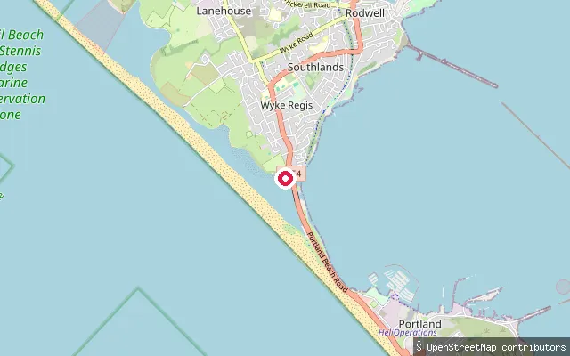 Sea
SeaWeymouth put-in
Dorset, EnglandA slipway near Ferrybridge, close to the Small Mouth channel that links Portland Harbour to the Fleet lagoon. Portland Port requires harbour dues from every craft using Portland Harbour, including kayaks and paddleboards.
 Sea
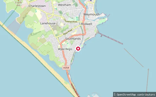
SeaWeymouth put-in
Dorset, EnglandA slipway on Portland Harbour at Wyke Regis, next to a sailing club recorded on OpenStreetMap. Portland Port requires harbour dues from every craft using Portland Harbour, including kayaks and paddleboards.
 Sea
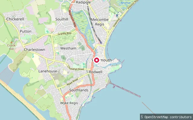
SeaWeymouth Harbour Slipway
Dorset, EnglandA named public slipway inside Weymouth Harbour, the tidal harbour formed by the mouth of the River Wey in central Weymouth. Weymouth Harbour's office runs a permit system covering slipway launch-and-recovery and PWC use.
 River
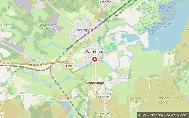
RiverWareham Town put-in
Dorset, EnglandAbbot's Quay stands where the River Frome becomes tidal at Wareham, a few miles upstream of Poole Harbour, often described as one of the largest natural harbours in the world. The quay is the town's working waterfront, shared with a boat hire business that has run from here since 1950, and from it the river opens downstream toward the harbour's wide mudflats and saltmarsh.
 Sea
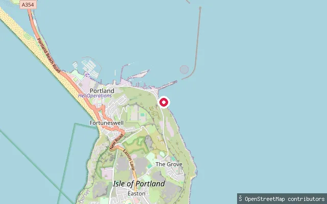
SeaThe Grove put-in
Dorset, EnglandThis disused slipway lies on the Portland Harbour shore below The Grove, on the Isle of Portland roughly 1.4 km east of Castletown. Portland Harbour is a large artificial harbour enclosed by breakwaters, and Portland Port requires paddleboarders and kayakers using it to hold a harbour permit. OpenStreetMap's own edit history describes the structure as a ruin among other ways on the shore, so its condition should not be assumed.
 Sea
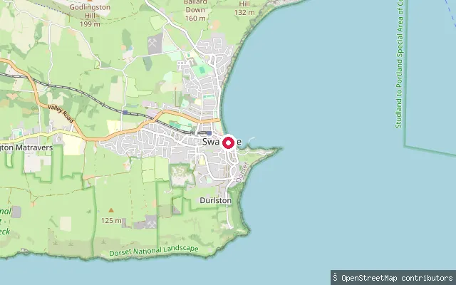
SeaSwanage put-in
Dorset, EnglandThis slipway sits on Swanage's seafront a short walk north of the town pier, on the sheltered sand and shingle of Swanage Bay. The bay supports a range of watersports including kayaking and canoeing.
 Sea
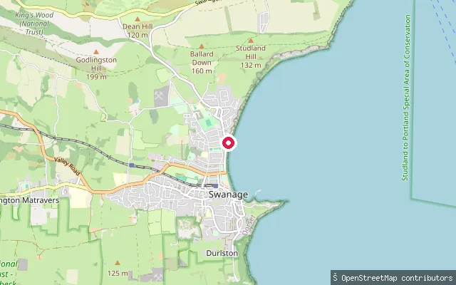
SeaSwanage put-in
Dorset, EnglandThis launch point sits toward the northern end of Swanage's seafront, on Swanage Bay. The bay is sheltered and generally calm, and supports kayaking, canoeing and other watersports alongside Swanage's long-standing diving scene.
 Sea
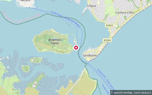
SeaBrownsea Island slipway
Dorset, EnglandThis private slipway sits on the south shore of Brownsea Island, the largest island in Poole Harbour, roughly opposite Sandbanks and the harbour entrance. The National Trust owns and manages the island bar a handful of leased buildings around the castle, and the northern half is a Dorset Wildlife Trust nature reserve with restricted access. OpenStreetMap tags the slipway access as private, so it serves the island's own boats rather than the general public.
 Sea
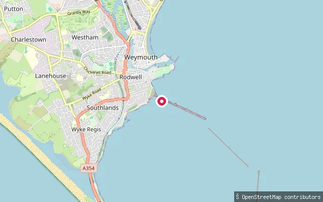
SeaRodwell put-in (Weymouth)
Dorset, EnglandA slipway at Bincleaves on the Rodwell peninsula in Weymouth, facing Portland Harbour rather than the open sea. Portland Port's leisure rules name Bincleaves harbour among the areas closed to vessels, so check current restrictions before launching here.
 Sea
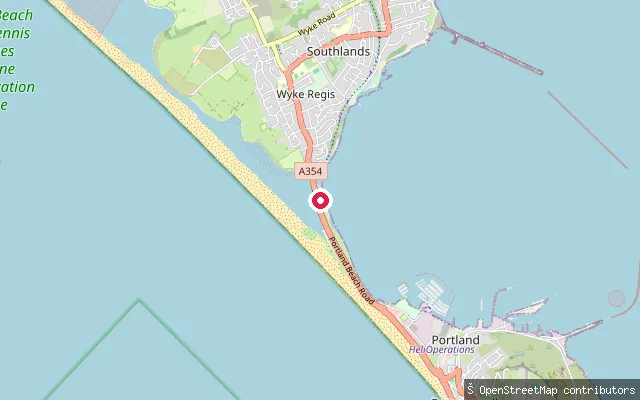
SeaPortland put-in
Dorset, EnglandA slipway on the northern neck of the Isle of Portland, on the open-sea side behind Chesil Beach rather than on Portland Harbour. Chesil Beach and the Fleet lagoon behind it carry SSSI, Special Area of Conservation, Special Protection Area and Ramsar designations.
 Sea
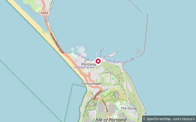
SeaPortland put-in
Dorset, EnglandThis slipway sits on the Castletown shore of Portland Harbour, a large artificial harbour on the Isle of Portland enclosed by four breakwaters built between 1849 and 1906. Portland Port, which administers the harbour, requires paddleboarders and kayakers to hold a harbour permit before launching.
 Sea
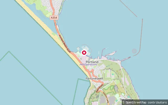
SeaPortland put-in
Dorset, EnglandA slipway at Portland Marina on Portland Harbour, near Castletown on the Isle of Portland. Portland Port describes the harbour as used for nearly every kind of watersport, and charges harbour dues on all craft, including kayaks and SUPs.
 River
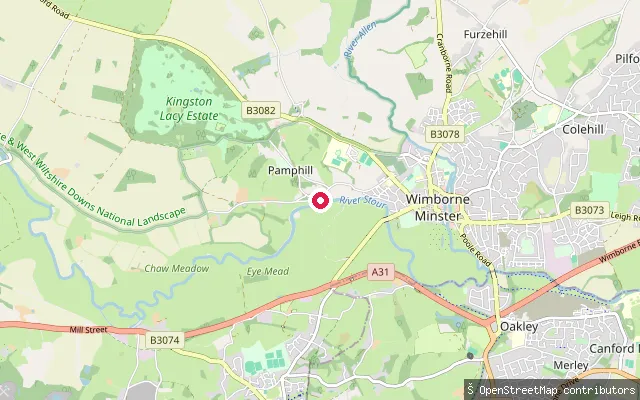
RiverPamphill put-in
Dorset, EnglandAn informal bank launch on the River Stour at Pamphill, on the National Trust's Kingston Lacy estate near Wimborne Minster. The river winds through wide, grazed water meadows here, several miles upstream of the town itself.
 Sea
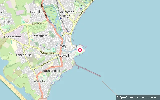
SeaNothe Slipway
Dorset, EnglandA slipway below Nothe Fort in Weymouth, launching onto Weymouth Bay just outside the mouth of Weymouth Harbour rather than into the harbour itself.
 Sea
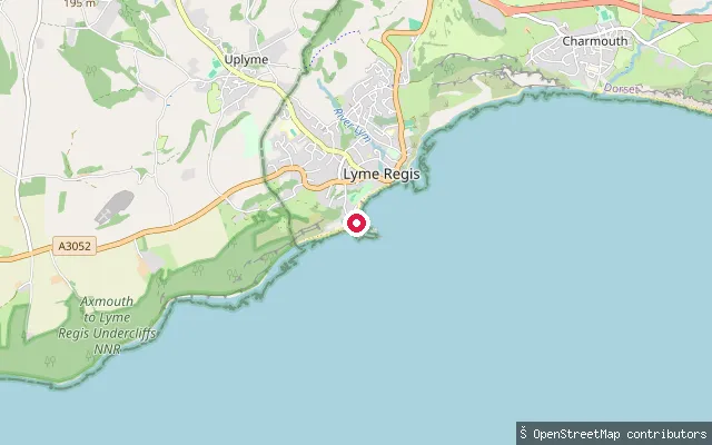
SeaLyme Regis Marine Parade slipway
Dorset, EnglandThis slipway also launches onto Lyme Bay from Lyme Regis's main beach, along Marine Parade close to the Cobb's north wall. Lyme Regis Harbour's guidance asks paddlers to stay within a marked swim-line zone running from the Cobb to Church Cove and to keep clear of the harbour mouth and mooring pontoons, which stay in constant use.
 Sea
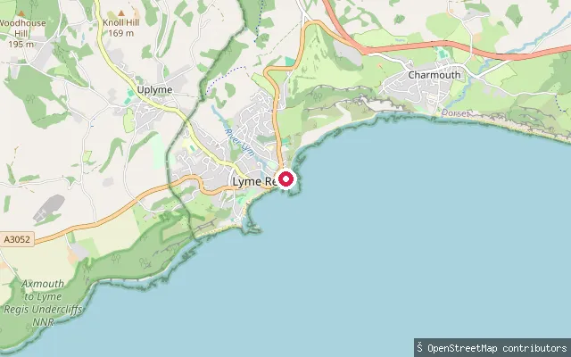
SeaLyme Regis East Beach slipway
Dorset, EnglandThis slipway sits on Lyme Regis's East Beach by Long Entry, next to the RNLI lifeboat station, launching onto Lyme Bay on the Dorset coast. Lyme Regis Harbour's paddling guidance allows kayaks and paddleboards to launch anywhere along the main beach within a marked swim-line zone that runs from the Cobb's north wall to Church Cove, close to this end of the beach, and asks paddlers to keep clear of the harbour mouth and mooring pontoons.
 Sea
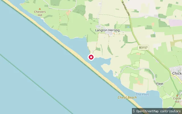
SeaLangton Herring put-in
Dorset, EnglandA concrete slipway reached down Coastguard Road at Langton Herring, on the shore of the Fleet lagoon behind Chesil Beach. The Fleet and Chesil Beach are a SSSI, Special Area of Conservation, Special Protection Area and Ramsar site, and access to the Fleet-side slope of the beach between Wyke Regis and Abbotsbury is not permitted at any time.
 Sea
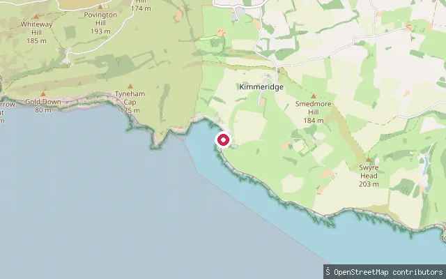
SeaKimmeridge put-in
Dorset, EnglandThis slipway opens onto Kimmeridge Bay, a semi-circular bay of low Kimmeridge Clay cliffs and wave-cut rock ledges on the Smedmore Estate near Kimmeridge village. The bay lies within the Purbeck Marine Wildlife Reserve, the UK's oldest voluntary marine nature reserve, though the reserve itself carries no statutory wildlife protection.
 Sea
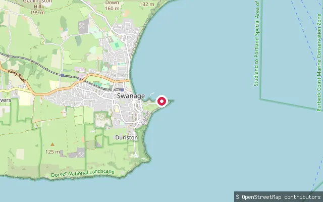
SeaPeveril Point slipway (Swanage)
Dorset, EnglandThis concrete slipway sits on Peveril Point, the headland that marks the southern end of Swanage Bay. Swanage Bay is sheltered and gently sloping, used for swimming, kayaking, canoeing and other watersports. The slipway stands close to Swanage's RNLI lifeboat station, whose own slipway is a separate, private facility a short distance away.
 Sea
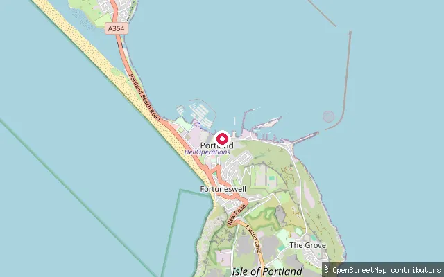
SeaCastletown put-in
Dorset, EnglandThis slipway sits on the Castletown shore of Portland Harbour, a large artificial harbour on the Isle of Portland enclosed by four breakwaters built between 1849 and 1906. Portland Port, which administers the harbour, requires paddleboarders and kayakers to hold a harbour permit before launching.
 Sea
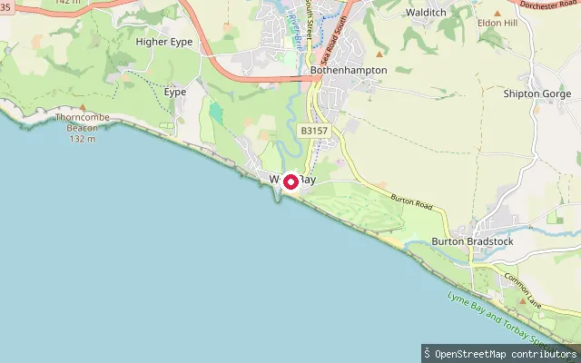
SeaWest Bay inner harbour slipway
Dorset, EnglandThis slipway launches onto the inner section of West Bay Harbour, near Quayside on the River Brit side of the harbour village south of Bridport on the Dorset coast. The same Bridport Harbour Office application and fee system that covers the main harbour slipway applies here, with a lower daily rate for kayaks and paddleboards than for motorised craft.
 Sea
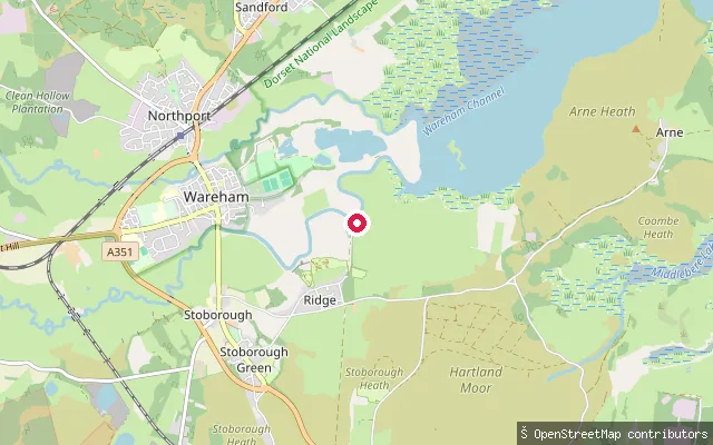
SeaArne put-in
Dorset, EnglandThis launch point is on the Arne peninsula in Poole Harbour, next to the village of Arne and the RSPB Arne reserve. The reserve's Shipstal Beach, a short walk south, is described by the RSPB as a quiet stretch of shoreline away from the busier parts of the harbour.
 River
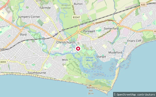
RiverStony Lane South put-in (Christchurch)
Dorset, EnglandThis slipway sits off Stony Lane South in Purewell, on the tidal River Avon a couple of miles above where it meets the Stour in Christchurch Harbour. The Avon here is tidal and non-intermittent, and shallow-draught boats can work upstream on it for around two miles from the harbour mouth.
 River
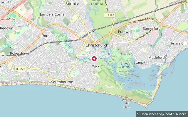
RiverWick put-in
Dorset, EnglandThis slipway is on Wick Lane by Iford, on the tidal River Stour on the western edge of Christchurch, close to the village of Wick. The Stour is tidal as far upstream as Tuckton, with spring tides occasionally reaching Blackwater Bridge, and there is a weir near Iford Bridge where the normal tidal reach ends.
Save your own spots
Keep the places you launch, check the wind and shelter before you go, and log every paddle. Add a spot to the directory too, and other paddlers will find it. Free to start.
Some launch spots in this directory are seeded from open data. © OpenStreetMap contributors · Open Database Licence (ODbL) · Machine-readable copy