Paddleboarding spots in Kent
79 launch spots across Kent
This weekend’s calmest picks in Kent
See the ranked launch spots for the best conditions this weekend
Many inland waterways need a licence to paddle. Check with Paddle UK before you go.
Every mapped spot in Kent
Zoom in to split a cluster; open a pin for the spotMap of every spot in Kent
The interactive map opens on any device with JavaScript. The full list of launch spots is below.
Launch spots
Showing 24 of 79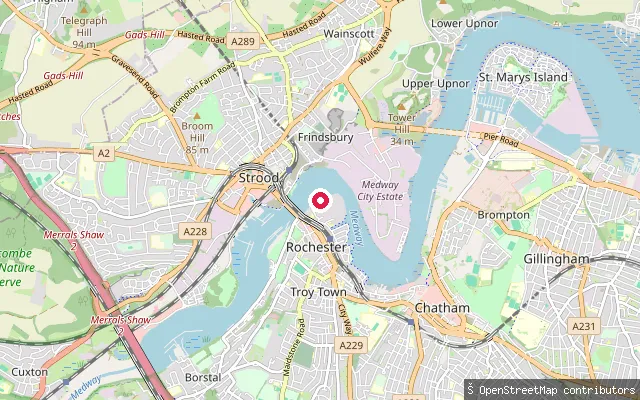 River
RiverTroy Town put-in (Rochester)
Kent, EnglandThis slipway launches onto the tidal River Medway at Rochester in Kent, near Rochester Bridge. The tidal reaches here, including Bridge Reach, remain navigable by large vessels as the river widens towards the Thames.
 River
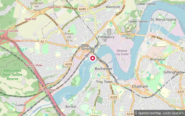
RiverStrood put-in
Kent, EnglandStrood put-in launches onto the tidal River Medway at Strood in Kent, opposite Rochester at the river's lowest bridging point. The town sits on marshy ground below eroded chalk cliffs, and its waterfront once included several tidal creeks and a tide mill serving the Medway's boatyards.
 Sea
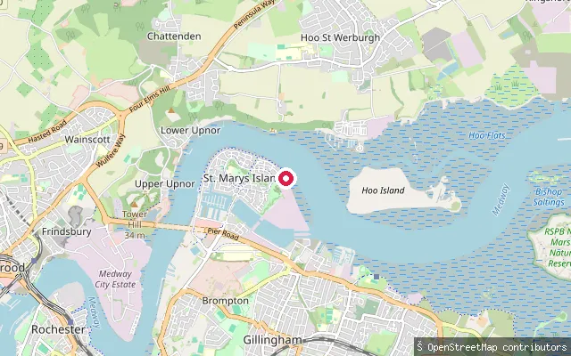
SeaSt. Marys Island put-in (Gillingham)
Kent, EnglandThis slipway lies on the Riverside Walk footpath around St Mary's Island, a former tidal peninsula of Chatham Dockyard now redeveloped as housing, on the south bank of the River Medway estuary at Gillingham Reach. The main all-tide public slipway in the wider area is at the Strand in Gillingham, a couple of kilometres east, with other stretches needing tide-dependent timing. The Medway Ports Authority's 1991 river byelaws apply to navigation on this tidal reach.
 Sea
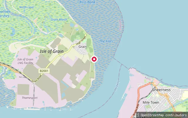
SeaIsle of Grain put-in
Kent, EnglandThis slipway sits on the Isle of Grain, the settlement at the tip of the Hoo Peninsula, facing open tidal flats on the Thames Estuary. Yantlet Creek, a largely silted channel that once linked the Thames to the Medway, separates the peninsula from the Allhallows Marshes to the south. Grain Tower, a fort completed in 1855, stands a short distance offshore.
 Sea
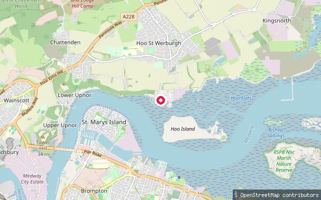
SeaHoo St. Werburgh put-in
Kent, EnglandThis put-in sits at Port Werburgh, formerly Hoo Marina, on Hoo Creek off the River Medway estuary at Hoo St Werburgh. The marina was formed in the late 1980s by joining Ford Marsh Island to the mainland and excavating a basin, and its channel to the main river is usable roughly 2.5 to 3 hours either side of high tide. The Medway Ports Authority's 1991 river byelaws apply to navigation on this reach.
 Sea
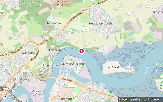
SeaHoo St. Werburgh put-in
Kent, EnglandThis put-in sits on the River Medway's north shore in Cockham Reach, beside Wilsonian Sailing Club, roughly midway between Hoo Ness Yacht Club at Hoo and Medway Yacht Club at Upnor and opposite Chatham Dockyard. The club states that launching is possible at all states of the tide from a slipway and an adjacent shingle beach. The Medway Ports Authority's 1991 river byelaws apply to navigation on this tidal reach.
 Sea
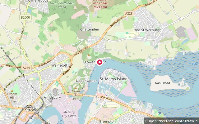
SeaLower Upnor foreshore put-in (Frindsbury Extra)
Kent, EnglandThis put-in sits on the River Medway foreshore off Upnor Road, in Frindsbury Extra parish south-west of Lower Upnor village, on the tidal reach opposite Chatham Dockyard where Cockham Wood faces the river. The Medway Ports Authority's 1991 river byelaws apply to navigation on this reach.
 Sea
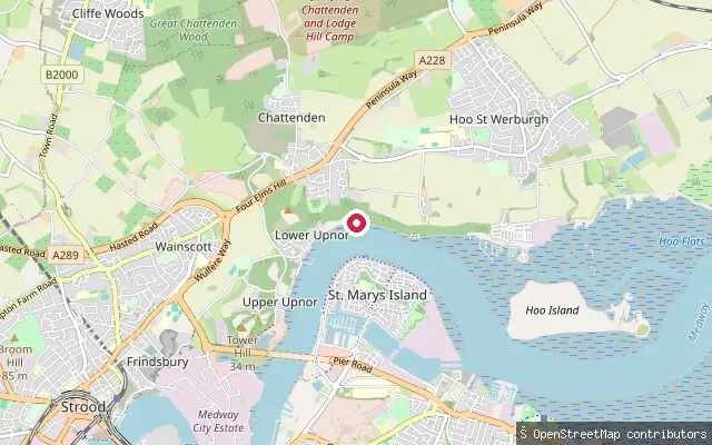
SeaUpnor put-in (Frindsbury Extra)
Kent, EnglandThis put-in sits on the River Medway's west bank at Lower Upnor, in Frindsbury Extra parish, immediately next to Medway Yacht Club and roughly opposite Chatham Dockyard on this reach of the tidal Medway. Medway Yacht Club, founded in 1880, is based here and runs RYA-recognised sailing courses. The Medway Ports Authority's 1991 river byelaws apply to navigation on this reach.
 River
RiverBorstal put-in (Rochester)
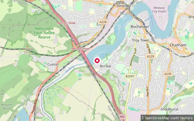
Kent, EnglandThis is one of several closely spaced slipways on the tidal River Medway at Borstal, a riverside suburb of Rochester in Kent whose name derives from the Anglo-Saxon "burg-steall" (fort site). A pier once stood on the Medway at Borstal, built to serve the 19th-century Eastern Defences Railway.
 River
RiverBorstal put-in (Rochester)
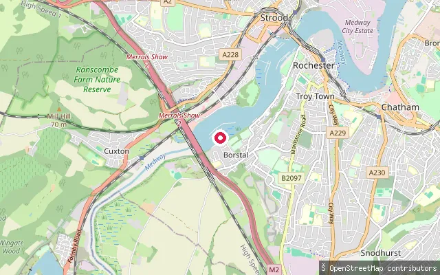
Kent, EnglandThis is one of several closely spaced slipways on the tidal River Medway at Borstal, a riverside suburb of Rochester in Kent whose name derives from the Anglo-Saxon "burg-steall" (fort site). A pier once stood on the Medway at Borstal, built to serve the 19th-century Eastern Defences Railway.
 River
RiverBorstal put-in (Rochester)
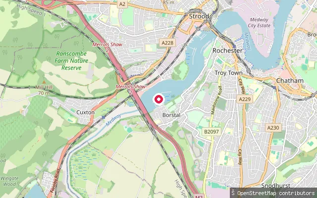
Kent, EnglandThis is one of several closely spaced slipways on the tidal River Medway at Borstal, a riverside suburb of Rochester in Kent whose name derives from the Anglo-Saxon "burg-steall" (fort site). A pier once stood on the Medway at Borstal, built to serve the 19th-century Eastern Defences Railway.
 River
RiverYalding put-in (Maidstone)
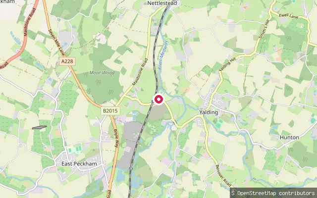
Kent, EnglandThis slipway is on the River Medway at Hampstead Lock, just outside Yalding, close to where the Medway meets the River Beult and the River Teise. It sits on the 29 km Medway Canoe Trail, which runs from Tonbridge to Allington.
 Sea
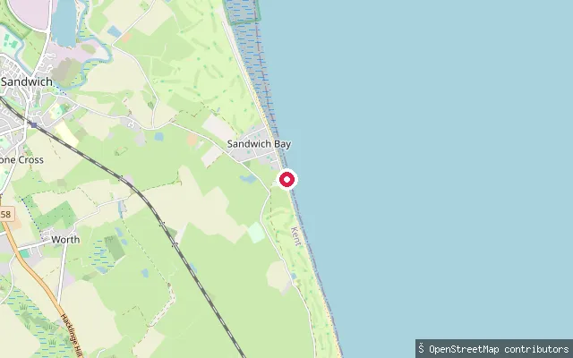
SeaSandwich Bay Estate slipway (Worth)
Kent, EnglandThis wooden slipway sits within the private Sandwich Bay Estate at Worth, giving onto the open sands of Sandwich Bay between Sandwich and Deal. The estate's roads are privately tolled, and the neighbouring coast forms part of the Sandwich and Pegwell Bay National Nature Reserve.
 Sea
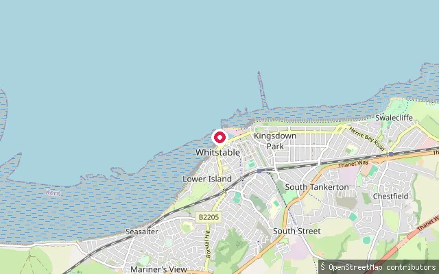
SeaWhitstable Yacht Club
Kent, EnglandThis point marks Whitstable Yacht Club, a dinghy sailing club on the seafront east of Whitstable Harbour with its own slipway and beach launching used mainly by members. The club sits on the harbour's eastern approach, where the Swale meets the Thames Estuary, on tidal shingle rather than a fixed pool of water.
 Sea
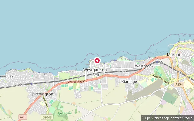
SeaSt Mildred's Bay slipway, Westgate-on-Sea
Kent, EnglandSt Mildred's Bay is a cliff-lined sandy bay with a promenade and tidal pool at Westgate-on-Sea, within walking distance of Margate. Rock pools and rock formations are exposed either side of the bay at low water, and Thanet council permits launching here for fishing boats and sail craft outside summer daytime hours.
 Sea
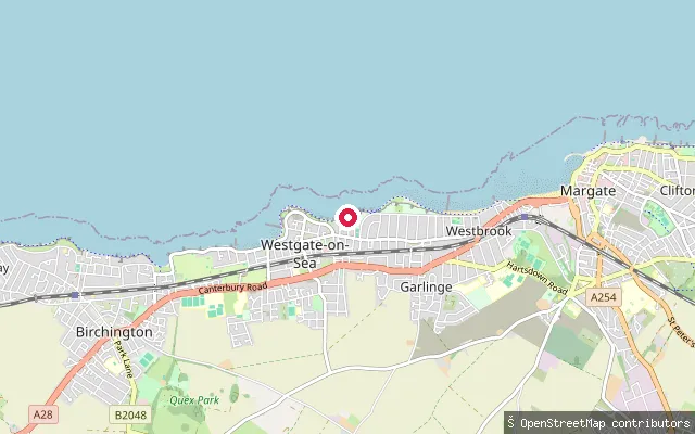
SeaSt Mildred's Bay slipway, St Mildred's Gardens (Westgate-on-Sea)
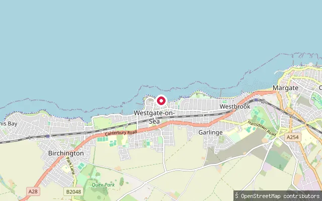
Kent, EnglandSt Mildred's Bay is a sandy bay at Westgate-on-Sea on the north Kent coast, backed by low cliffs and a promenade. This slipway sits off St Mildred's Gardens; the beach carries a seasonal lifeguard service and windsurfing and sailing both take place off it.
 Sea
SeaSt Mildred's Bay slipway (east), Westgate-on-Sea
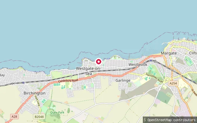
Kent, EnglandThis slipway sits close to St Mildred's Bay at Westgate-on-Sea, a cliff-lined sandy bay with a tidal pool and promenade near Margate. Thanet council permits launching here for fishing boats and sail craft, with a summer daytime restriction.
 Sea
SeaSt Mildred's Bay slipway (Sea Road), Westgate-on-Sea
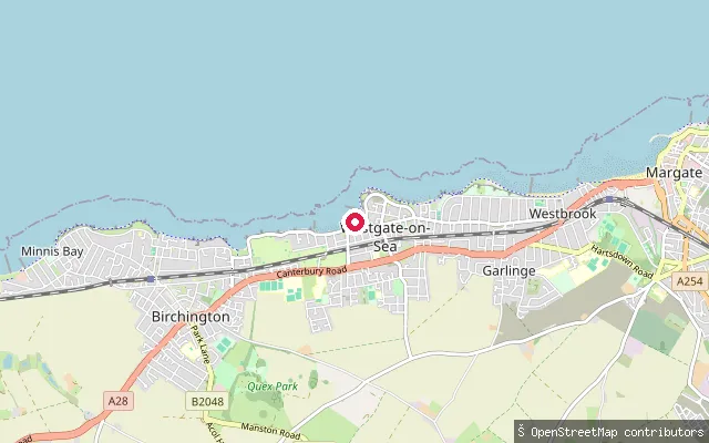
Kent, EnglandThis slipway lies at the eastern end of St Mildred's Bay at Westgate-on-Sea, close to the town centre. The bay is cliff-lined with a promenade and tidal pool, and Thanet council permits launching here for fishing boats and sail craft outside summer daytime hours.
 Sea
SeaWest Bay slipway, Westgate-on-Sea
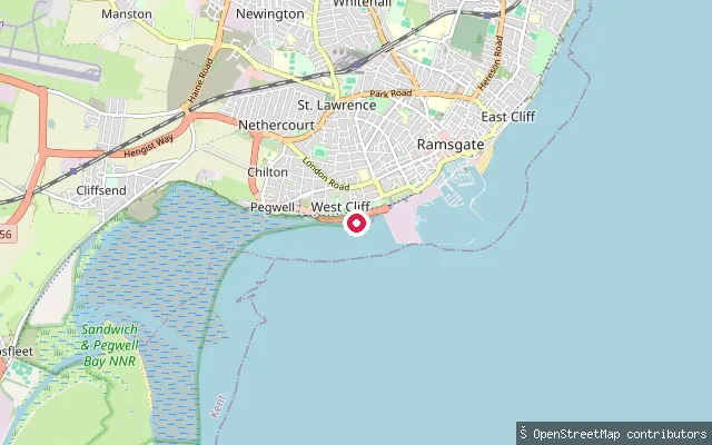
Kent, EnglandThis slipway sits on the coastline at West Bay, Westgate-on-Sea, part of the OSM-mapped coastline way for this stretch. West Bay is a sandy beach separated from St Mildred's Bay by chalk cliffs, with launching permitted for fishing boats and sail craft under seasonal conditions.
 Sea
SeaWestern Undercliff Slip
Kent, EnglandWestern Undercliff is a beach and slipway on the open coast just south-west of Ramsgate's harbour entrance, reached down the Royal Harbour Approach road. The lower shore is rocky with a chalk reef running towards Pegwell Bay, and a small tidal paddling pool sits on the sand.
 Sea
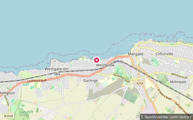
SeaWestbrook Bay slipway (east)
Kent, EnglandWestbrook Bay is a sandy bay on the Margate seafront, quieter than the main town beach and designated for watersports. This slipway is toward the eastern end of the bay off Westbrook Promenade, close to the approach into Margate Main Sands.
 Sea
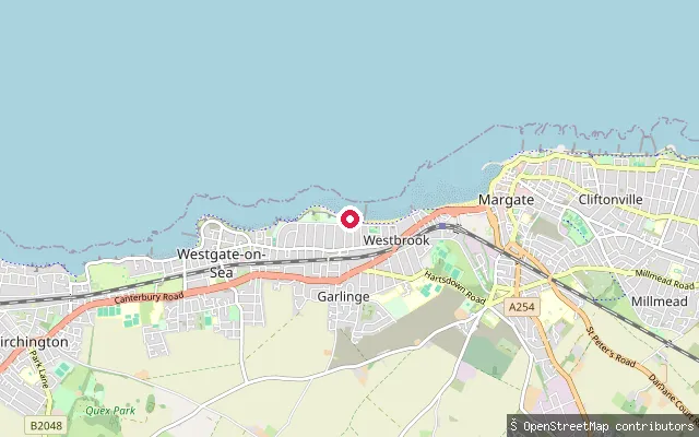
SeaWestbrook Bay slipway (central)
Kent, EnglandWestbrook Bay is a sandy bay on the Margate seafront, quieter than the main town beach and designated for watersports. This slipway sits mid-bay off Westbrook Promenade, with free roadside parking above and seasonal lifeguard cover in summer.
 River
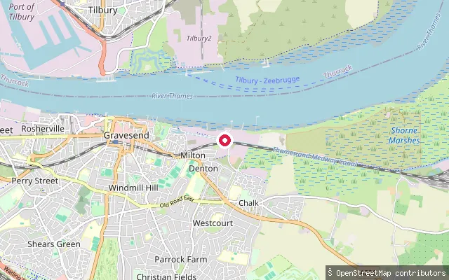
RiverWatts Landing
Kent, EnglandWatts Landing is a slipway on the tidal River Thames at Denton, a riverside district of Gravesend in Kent. This stretch lies within the estuary's brackish transition zone, where salinity increases progressively downstream of Battersea.
 Sea
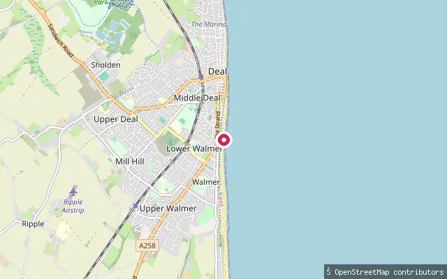
SeaWalmer put-in
Kent, EnglandThis slipway sits on the shingle beach at Walmer, on the Kent coast just south of Deal. It faces The Downs, the sheltered stretch of sea between the coast and the Goodwin Sands where sailing ships once waited for a favourable wind.
Save your own spots
Keep the places you launch, check the wind and shelter before you go, and log every paddle. Add a spot to the directory too, and other paddlers will find it. Free to start.
Some launch spots in this directory are seeded from open data. © OpenStreetMap contributors · Open Database Licence (ODbL) · Machine-readable copy