Paddleboarding spots in Oxfordshire
24 launch spots across Oxfordshire
Many inland waterways need a licence to paddle. Check with Paddle UK before you go.
Every mapped spot in Oxfordshire
Zoom in to split a cluster; open a pin for the spotMap of every spot in Oxfordshire
The interactive map opens on any device with JavaScript. The full list of launch spots is below.
Launch spots
Showing 24 of 24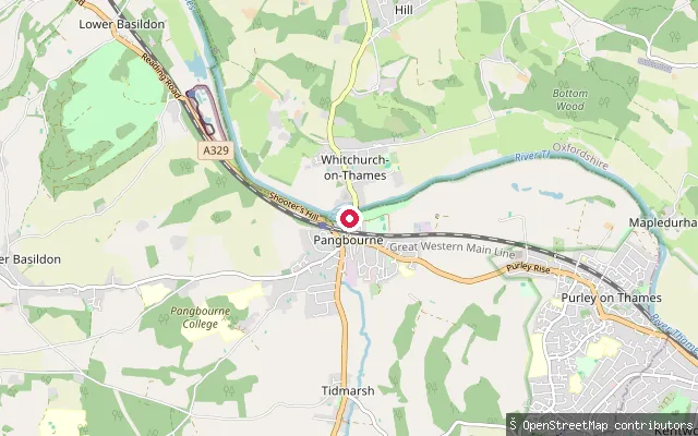 River
RiverWhitchurch-on-Thames put-in (South Oxfordshire)
Oxfordshire, EnglandA slipway on Ferry Lane on the River Thames at Whitchurch-on-Thames, within the Chilterns National Landscape, beside the historic toll bridge that links the village to Pangbourne.
 River
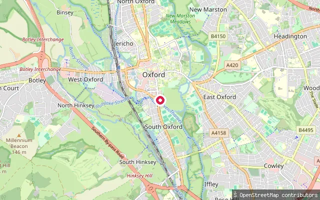
RiverFolly Bridge put-in
Oxfordshire, EnglandThis put-in is on the River Thames, known locally as the Isis, at Folly Bridge on the southern edge of Oxford city centre, close to the Head of the River pub and the Salters Steamers boat-hire and trip base.
 Canal
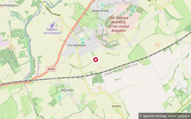
CanalShrivenham Canal Park slipway (Ron Martin Memorial Slipway)
Oxfordshire, EnglandA short, isolated pound of the Wilts & Berks Canal in Shrivenham Canal Park, on the east side of Stainswick Lane in Oxfordshire, and one of only a few lengths of the largely abandoned 52-mile canal that the Wilts & Berks Canal Trust owns outright.
 River
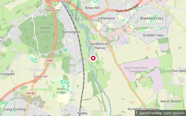
RiverSandford-on-Thames put-in
Oxfordshire, EnglandThis slipway is on the Thames at Sandford-on-Thames, just south of Oxford, near Sandford Lock, which has the largest fall of any lock on the river. Immediately upstream lies Sandford Lasher, a weir pool whose calm surface hides strong currents beneath.
 River
RiverPunt Rollers
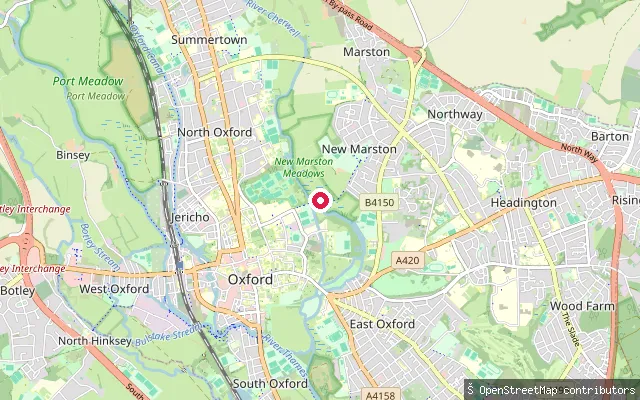
Oxfordshire, EnglandPunt Rollers marks a set of rollers beside a weir on the River Cherwell in Oxford's University Parks, on the braided stretch of the river around the Mesopotamia channel where punts are moved between levels.
 River
RiverBablock Hythe put-in
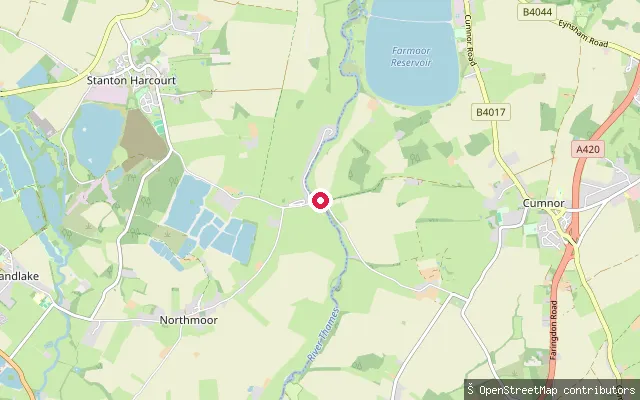
Oxfordshire, EnglandThis slipway sits at Bablock Hythe, an ancient Thames crossing near Northmoor where a hand-hauled chain ferry ran from at least 1279 until it stopped in 1959. The Ferryman Inn still overlooks the river here, and the old slipway remains a quiet spot to reach the water.
 River
RiverMoulsford put-in (South Oxfordshire)
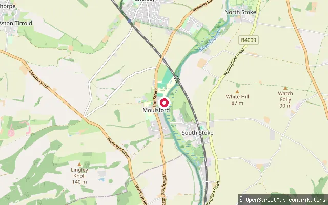
Oxfordshire, EnglandThis concrete slipway sits on the River Thames at Moulsford, close to where a ferry crossed the river from at least medieval times until it closed in 1967, near the site of the former Beetle and Wedge riverside pub. The Environment Agency requires registration for unpowered craft such as canoes and kayaks on this reach.
 River
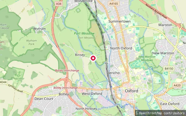
RiverSheepwash Channel put-in (Oxford)
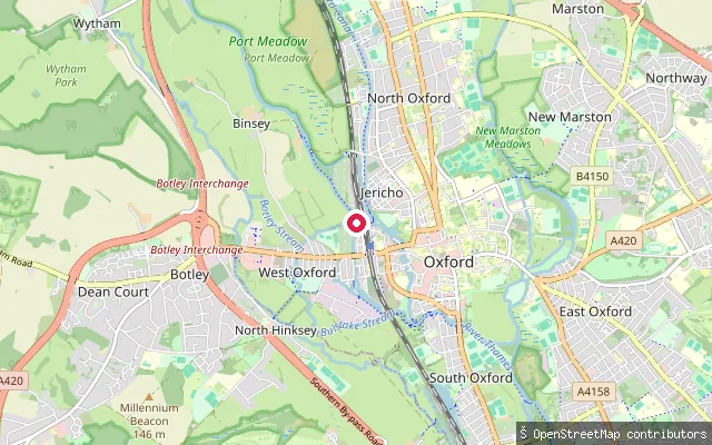
Oxfordshire, EnglandThis slipway sits on the Sheepwash Channel near Roger Dudman Way in west Oxford, a short cut connecting the River Thames to Castle Mill Stream and the Oxford Canal by Isis Lock. It is roughly a kilometre from the other Medley launch points in this dataset and is a distinct location on a different stretch of water.
 River
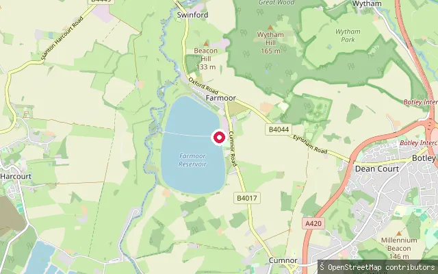
RiverMedley put-in (Oxford)
Oxfordshire, EnglandMedley put-in is on the River Thames's west bank at Medley, on the Thames Path beside Medley Footbridge, at the point where the wooded Oxford reach opens out into Port Meadow.
 Lake
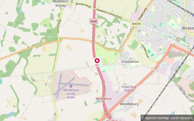
LakeFarmoor Reservoir slipway (Farmoor II)
Oxfordshire, EnglandThis slipway sits on the perimeter path of Farmoor II, the larger of the two basins that make up Farmoor Reservoir near Cumnor, Thames Water's supply reservoir west of Oxford. Access to most of the reservoir is by Thames Water permit, and the site is shared with Oxford Sailing Club and Oxford SUP Club, who both operate from Farmoor.
 Lake
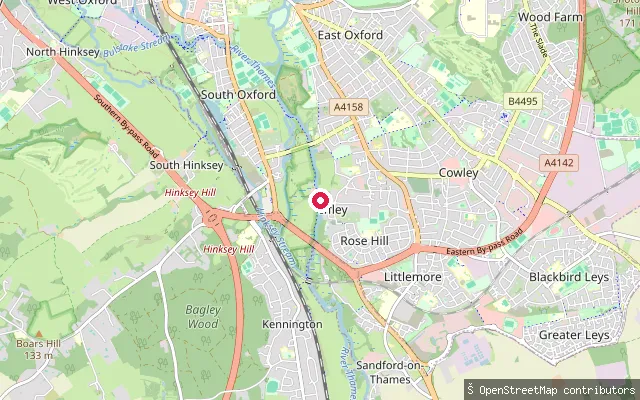
LakeBicester Hotel Golf & Spa lake slipway
Oxfordshire, EnglandA private open-water lake at Bicester Hotel Golf and Spa in Chesterton, near Bicester, used for swimming and stand up paddleboarding. The hotel markets it as a 200 metre open-water lake with paddleboards and inflatable craft available, and states the activity is open to non-residents as well as staying guests, subject to supervision rules. The footpath down to the slipway is mapped as customer access only, consistent with this being a managed leisure facility rather than open water.
 River
RiverIffley Lock Boat Rollers
Oxfordshire, EnglandIffley Lock sits on the non-tidal River Thames, known locally as the Isis, on the river's southern approach into Oxford, between Iffley village on the east bank and Donnington Bridge on the west.
 River
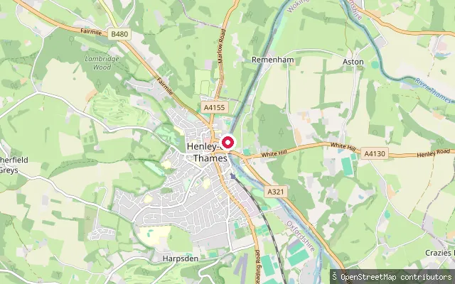
RiverHenley-on-Thames put-in (South Oxfordshire)
Oxfordshire, EnglandA slipway on the River Thames at Henley-on-Thames, on the Thameside path close to the town centre. This stretch, Henley Reach, was straightened to form the course used by Henley Royal Regatta, with Marsh Lock about a mile upstream regulating the flow. As part of the Environment Agency's non-tidal Thames between Cricklade and Teddington, craft including canoes, kayaks and paddleboards must be registered with the Agency or covered by a Paddle UK membership.
 River
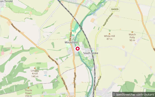
RiverFerry Lane
Oxfordshire, EnglandFerry Lane leads to a pebblestone slipway on the River Thames at South Stoke, at the Oxfordshire end of a seasonal ferry crossing to Moulsford on the opposite bank, reached along the Ridgeway National Trail through the village.
 River
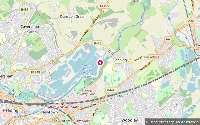
RiverEye and Dunsden put-in (South Oxfordshire)
Oxfordshire, EnglandThis slipway sits at Sonning Eye, a hamlet in the Eye and Dunsden parish on the River Thames between Reading and Shiplake, roughly opposite Sonning across the river.
 River
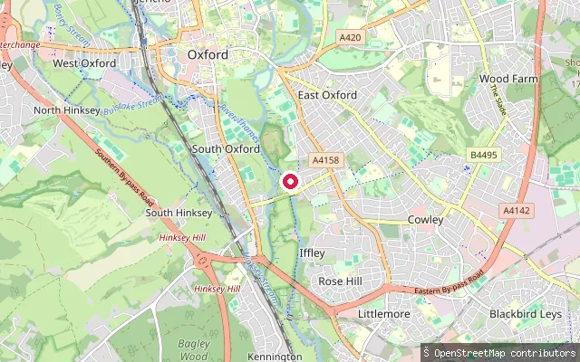
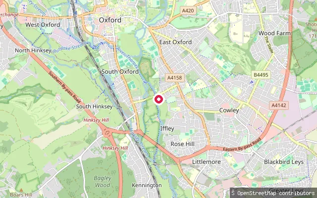
RiverEast Oxford put-in
Oxfordshire, EnglandThis is a grass-surfaced put-in on the River Thames, known locally as the Isis, close to Donnington Bridge on the stretch used by Oxford's rowing clubs.
 River
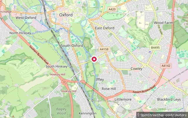
RiverEast Oxford put-in
Oxfordshire, EnglandThis put-in sits on the River Thames, known locally as the Isis, between Donnington Bridge and Iffley Lock south of central Oxford. OSM maps it as part of a way associated with the Salters Steamers boat builders and storage yard, so it may serve that operation rather than being a general public launch point.
 River
RiverDonnington Bridge Slipway
Oxfordshire, EnglandDonnington Bridge Slipway is a concrete slipway on the River Thames, called the Isis on this stretch through Oxford, on the city's eastern riverside close to the university and city rowing boathouses. Several other mapped put-in points sit within about 100 metres along the same bank.
 Canal
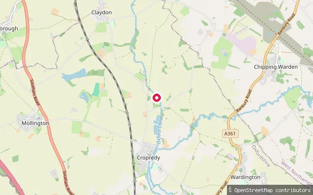
CanalCropredy put-in (Cherwell)
Oxfordshire, EnglandA slipway onto the Oxford Canal in the village of Cropredy in Cherwell district. This southern section of the canal runs through the shallow valley of the young River Cherwell on a lock-free, winding course rated one of the more scenic stretches of the network. The Canal and River Trust requires a waterways licence to paddle here, which a Paddle UK membership can cover.
 River
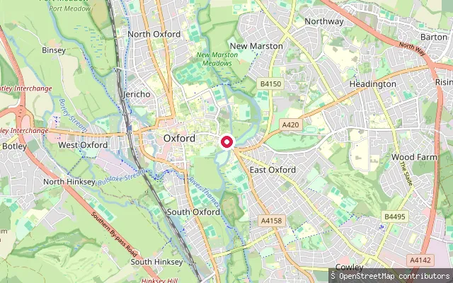
RiverCity Centre put-in (Oxford)
Oxfordshire, EnglandThis put-in is on the River Cherwell beside Magdalen Bridge, at the eastern edge of Oxford city centre. The Cherwell divides into channels at this point and is shallow enough that punting, rather than powered boating, is the traditional use of this reach.
 River
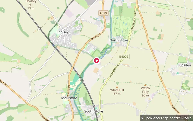
RiverCholsey put-in (South Oxfordshire)
Oxfordshire, EnglandCholsey put-in is a slipway at the end of Ferry Lane on the west bank of the River Thames, on the site of a ferry crossing to South Stoke on the opposite bank that operated until at least the 1920s. It sits within the Berkshire, Buckinghamshire & Oxfordshire Wildlife Trust's Cholsey Marsh nature reserve.
 River
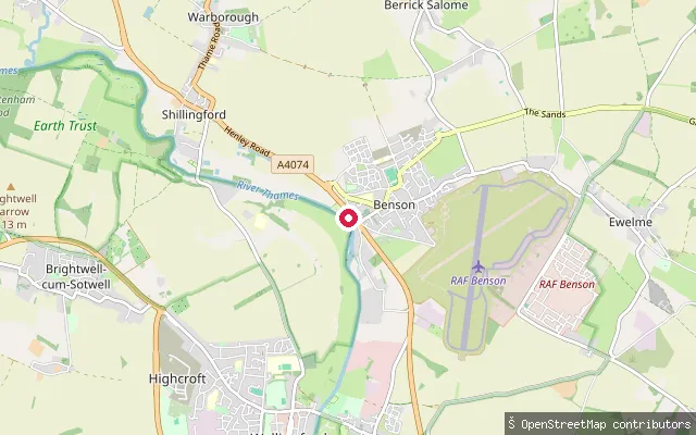
RiverBenson put-in (South Oxfordshire)
Oxfordshire, EnglandThis slipway is linked to Benson Marina on the River Thames at Benson, near Benson Lock where the Ewelme Brook joins the river. A flash lock stood on this reach from 1746 before Benson's pound lock was built in 1788 and rebuilt in 1870.
 River
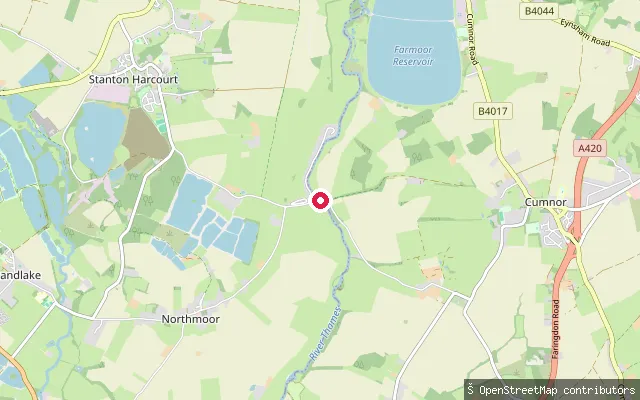
RiverBablock Hythe Ferry Slipway
Oxfordshire, EnglandThis is the slipway at Bablock Hythe, where a chain ferry crossed the Thames from at least 1279 until 1959, near The Ferryman Inn. The name and location are both confirmed directly by the OSM node.
 River
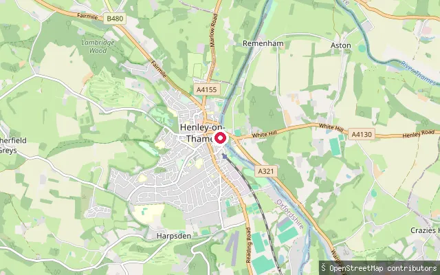
RiverAlf Parrot
Oxfordshire, EnglandAlf Parrot is a named slipway on Thameside in Henley-on-Thames, giving access to the River Thames close to Henley Reach, home of the Henley Royal Regatta.
Save your own spots
Keep the places you launch, check the wind and shelter before you go, and log every paddle. Add a spot to the directory too, and other paddlers will find it. Free to start.
Some launch spots in this directory are seeded from open data. © OpenStreetMap contributors · Open Database Licence (ODbL) · Machine-readable copy