Paddleboarding spots in Shropshire
3 launch spots across Shropshire
Many inland waterways need a licence to paddle. Check with Paddle UK before you go.
Every mapped spot in Shropshire
Zoom in to split a cluster; open a pin for the spotMap of every spot in Shropshire
The interactive map opens on any device with JavaScript. The full list of launch spots is below.
Launch spots
Showing 3 of 3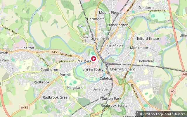 River
RiverShrewsbury put-in
Shropshire, EnglandThis is an informal ground-surface put-in on the River Severn in central Shrewsbury, a short walk from Frankwell Quay and the Welsh Bridge. It sits on the same horseshoe loop of the Severn that local canoe hire trips use to head downstream toward Ironbridge.
 River
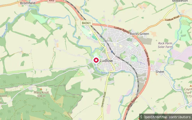
RiverLudlow put-in
Shropshire, EnglandThe Ludlow put-in is a council-owned floating pontoon at Linney Riverside Park, on the River Teme's north bank below Ludlow Castle, about 140 metres upstream of Dinham Weir and close to where the Teme is joined by the River Corve.
 River
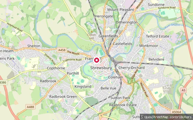
RiverFrankwell Quay Slipway
Shropshire, EnglandFrankwell Quay Slipway is a concrete public slipway on the River Severn's north bank in Shrewsbury, immediately upstream of the Grade II* Welsh Bridge and beside Theatre Severn. It launches onto the non-tidal upper Severn, which carries a statutory public right of navigation from Pool Quay near Welshpool down to Stourport, with no Canal & River Trust licence needed on this stretch.
Save your own spots
Keep the places you launch, check the wind and shelter before you go, and log every paddle. Add a spot to the directory too, and other paddlers will find it. Free to start.
Some launch spots in this directory are seeded from open data. © OpenStreetMap contributors · Open Database Licence (ODbL) · Machine-readable copy