Paddleboarding spots in Greater London
55 launch spots across Greater London
Many inland waterways need a licence to paddle. Check with Paddle UK before you go.
Every mapped spot in Greater London
Zoom in to split a cluster; open a pin for the spotMap of every spot in Greater London
The interactive map opens on any device with JavaScript. The full list of launch spots is below.
Launch spots
Showing 24 of 55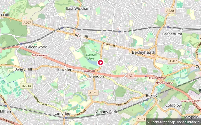 Lake
LakeDanson Park Watersports Centre slipway, Bexleyheath
Greater London, EnglandThis slipway serves Danson Lake in Danson Park, Bexleyheath, home to the council-run Danson Park Watersports Centre. The centre offers instructor-led kayaking, canoeing, sailing, rowing, powerboating and stand up paddleboarding sessions with its own equipment, under an Adventure Activities Licensing Authority registration.
 Lake
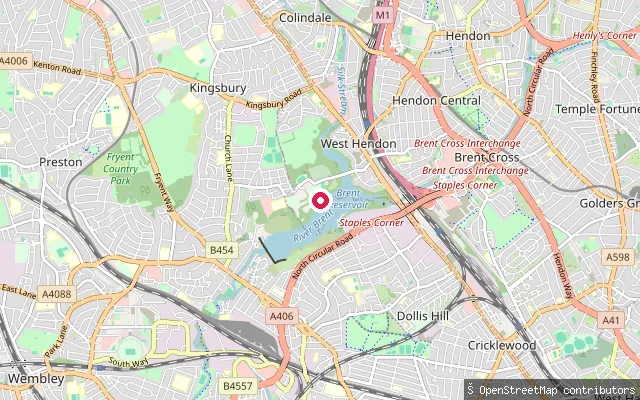
LakeThe Hyde put-in (Greater London)
Greater London, EnglandThis point is on the northern arm of Brent Reservoir, the Welsh Harp, near The Hyde in West Hendon, where the Silk Stream flows in close to Cool Oak Lane. The Phoenix Canoe Club, based on Cool Oak Lane, runs canoeing, kayaking and paddleboarding sessions on this part of the reservoir.
 River
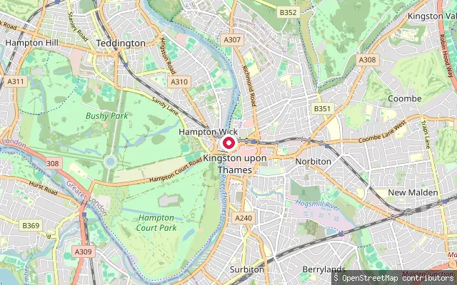
RiverKingston (Norbiton) put-in (Greater London)
Greater London, EnglandThis slipway lies on the Thames towpath on Thames Side in Norbiton, on the eastern edge of Kingston upon Thames, on the non-tidal reach well upstream of Teddington Lock.
 River
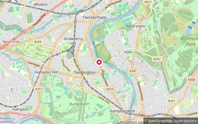
RiverTeddington Lock put-in (Greater London)
Greater London, EnglandThis slipway sits on the River Thames immediately beside Teddington Lock, on a concrete islet marked on OpenStreetMap as a small-craft launch facility. Although the surrounding postal area is named Strawberry Hill, the slipway itself is at the lock, on the Teddington bank, roughly 1.4km from Strawberry Hill proper.
 River
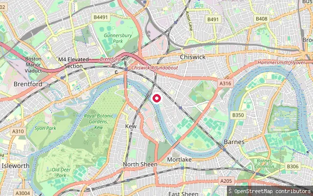
RiverStrand-on-the-Green put-in
Greater London, EnglandThis slipway sits on the north bank of the tidal River Thames close to Strand-on-the-Green, the riverside row of 18th-century houses and pubs just downriver of Kew Bridge in Chiswick.
 River
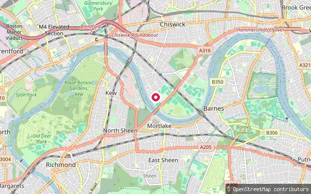
RiverDuke's Meadows slipway
Greater London, EnglandThis is an unnamed slipway on the north bank of the tidal River Thames within Duke's Meadows, the riverside park in Chiswick, close to the boathouses clustered near Chiswick Bridge.
 River
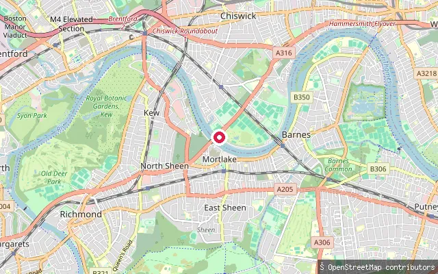
RiverTideway Scullers School slipway
Greater London, EnglandThis slipway on the tidal River Thames forms part of the Tideway Scullers School boathouse frontage in Duke's Meadows, Chiswick, a stretch of riverbank used by several rowing clubs.
 River
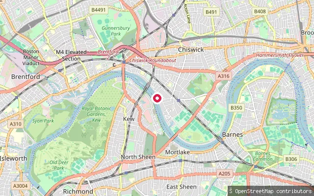
RiverUniversity of London Boat Club slipway
Greater London, EnglandThis slipway on the tidal River Thames forms part of the University of London Boat Club's site in Chiswick, on the reach between Duke's Meadows and Strand-on-the-Green.
 Lake
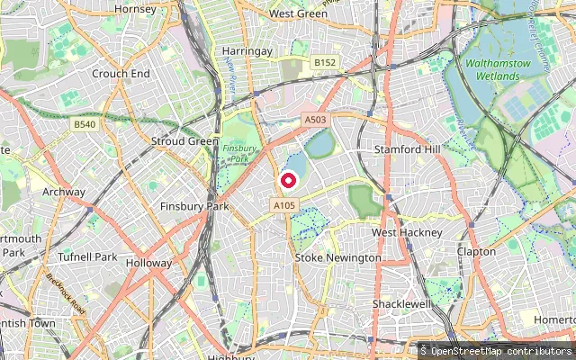
LakeWest Reservoir slipway, Stoke Newington
Greater London, EnglandWest Reservoir is a former Thames Water reservoir in Stoke Newington, Hackney, now run as the West Reservoir Centre for sailing, kayaking and stand-up paddleboarding. This OSM-tagged slipway sits on the reservoir's western side; paddling here runs through the centre's own sessions and Castle Canoe Club, rather than as an unsupervised open launch.
 River
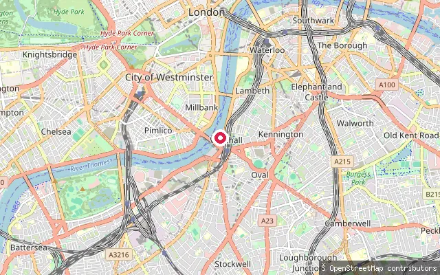
RiverLack's Dock, Vauxhall
Greater London, EnglandLack's Dock, also known as Vauxhall Stairs, is a historic slipway on the tidal Thames at Albert Embankment, Vauxhall, next to the MI6 building. It was long used as a river access point and, until Thames Tideway Tunnel works closed it in 2017, as the launch site for London's amphibious Duck Tours vehicles; the slipway later reopened under a new operating licence from its owner, the Duchy of Cornwall.
 River
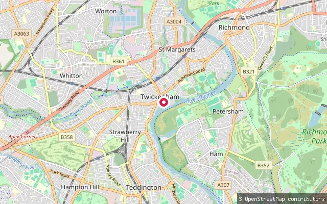
RiverSt Margarets put-in (Greater London)
Greater London, EnglandThis slipway launches onto the River Thames at St Margarets, a Twickenham neighbourhood bounded by the river in the London Borough of Richmond upon Thames. The reach falls within the short tidal stretch between Teddington Lock and the Port of London Authority's boundary, where the Environment Agency still asks paddlers to register their craft or hold equivalent British Canoeing membership.
 River
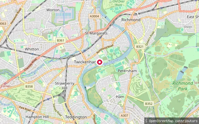
RiverSt Margarets put-in (Greater London)
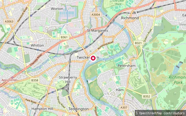
Greater London, EnglandThis slipway sits on the River Thames foreshore at St Margarets, Twickenham, part of the same small cluster of launch points as a near-identical node 53 metres away. OpenStreetMap ties it to a natural beach foreshore in a residential riverside setting.
 River
RiverSt Margarets put-in (Greater London)
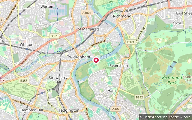
Greater London, EnglandThis launch point sits on a foreshore section of the River Thames at St Margarets, Twickenham. A half-tide weir at Richmond, downstream, holds the water level up through most of the tidal cycle, and the reach is covered by the Environment Agency's registration requirement for unpowered craft.
 River
RiverSt Margarets put-in (Greater London)
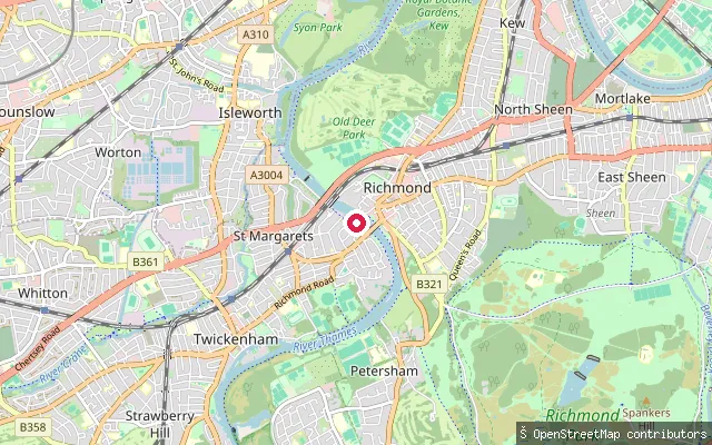
Greater London, EnglandThis slipway launches onto the River Thames at St Margarets in the London Borough of Richmond upon Thames. Paddlers here fall within the Environment Agency's short tidal-registration stretch between Teddington Lock and the Port of London Authority's boundary.
 River
RiverSt Margarets put-in (Greater London)
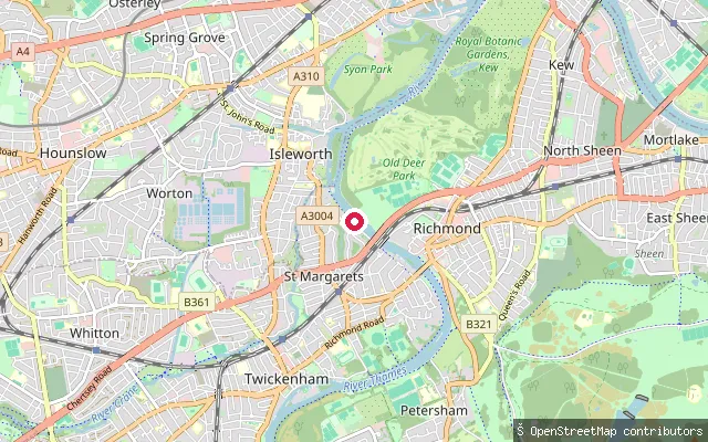
Greater London, EnglandThis slipway sits on the Thames towpath at St Margarets, East Twickenham, on the tidal reach of the river below Teddington Lock and Richmond Lock.
 River
RiverRichmond Lock Boat Rollers
Greater London, EnglandThese roller slipways sit beside Richmond Lock and Footbridge, the Port of London Authority's half-tide barrage that maintains a navigable depth of water upstream of Richmond outside the two hours either side of high tide when its sluice gates are raised. Rowing boats and kayaks can use the rollers to pass around the barrage when the gates are down.
 River
RiverSpring Grove put-in (Greater London)
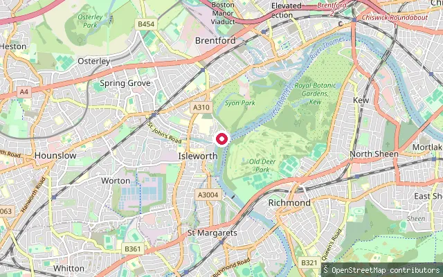
Greater London, EnglandThis slipway on the Thames towpath at the Spring Grove riverside in Isleworth has public access and charges no launching fee, according to OpenStreetMap. It sits on the tidal reach of the river, close to moorings on the Isleworth bank.
 Canal
CanalHarefield Marina slipway, South Harefield
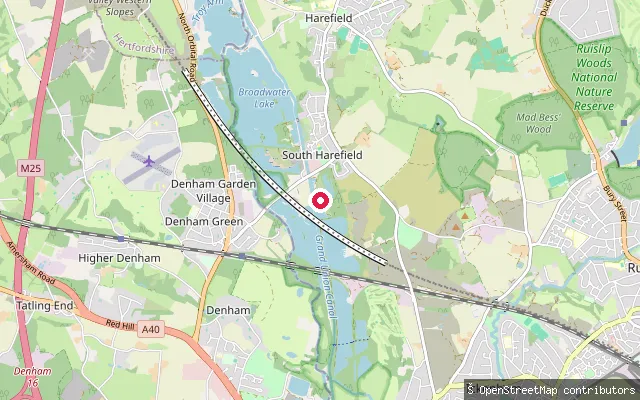
Greater London, EnglandThis slipway sits on the Grand Union Canal at Harefield Marina in South Harefield, in the London Borough of Hillingdon, a mooring and boatyard on the canal's Uxbridge-to-Rickmansworth stretch. The Canal and River Trust requires a waterways licence to launch a canoe, kayak or paddleboard on this canal.
 River
RiverVauxhall Stairs put-in (Greater London)
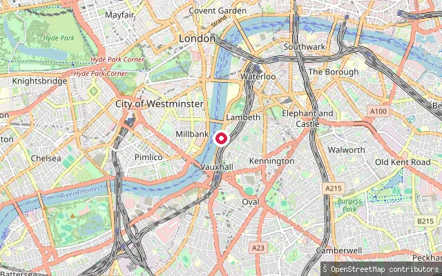
Greater London, EnglandThis is the site of Vauxhall Stairs, also called Lack's Dock, a historic Thames-side slipway on the Albert Embankment beside the former MI6 building, close to Vauxhall Bridge. The tidal Thames here falls under Port of London Authority byelaws and a joint PLA and Paddle UK code of practice for paddlers, and the slipway was taken over for Thames Tideway 'super sewer' construction work after 2017.
 River
RiverRatcliffe put-in (Greater London)
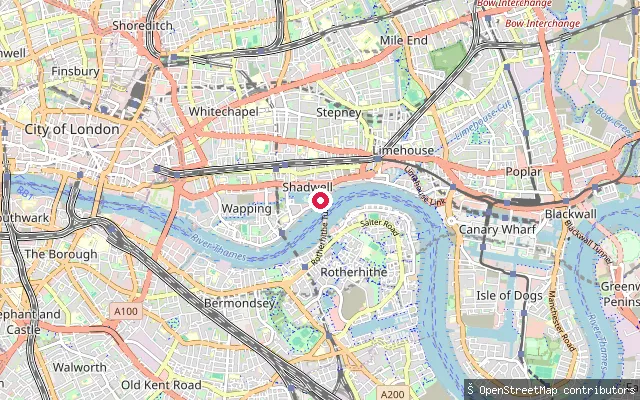
Greater London, EnglandThis launch is on the River Thames at Ratcliff, a historic riverside hamlet in Tower Hamlets on the north bank between Limehouse and Shadwell, once a major shipbuilding and provisioning centre for Thames voyages. The tidal Thames here is governed by Port of London Authority byelaws and a joint PLA and Paddle UK code of practice for paddlers.
 River
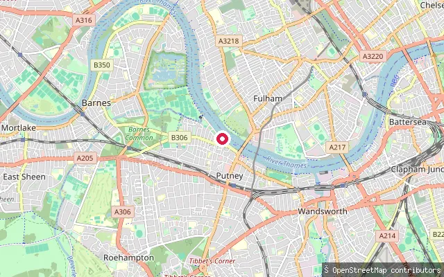
RiverPutney Embankment (lower slipway)
Greater London, EnglandA pedestrian, concrete-surfaced area on the tidal Thames at Putney Embankment, about 150 metres downstream of the embankment's main slipway. OpenStreetMap's edit history for this spot notes it as a former slipway location, so its current usability as a launch point is uncertain.
 River
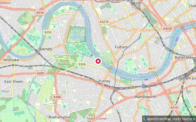
RiverPutney Embankment (boat club slipway)
Greater London, EnglandThis is the cobbled boat-launch area at Putney Embankment on the tidal Thames, sitting 20 metres from the embankment's named slipway node and almost certainly the same physical launch used by the rowing clubs along this stretch. It is a pedestrian zone paved in unhewn cobblestone, tidal like the rest of the embankment.
 River
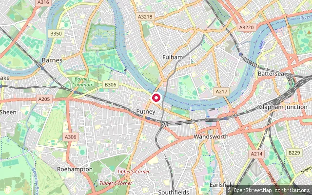
RiverBrewhouse Lane slipway, Putney
Greater London, EnglandA stone-sett slipway on the tidal Thames at the foot of Brewhouse Lane in Putney, just upstream of Putney Bridge. It is tagged as a dedicated service slipway rather than a shared pedestrian embankment.
 River
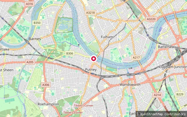
RiverPutney Public Slipway
Greater London, EnglandPutney Public Slipway is a named, purpose-built launch point on the tidal Thames close to Putney Bridge, distinct from the boat-club slipways further along Putney Embankment. It is tagged as a dedicated slipway service road rather than a shared pedestrian area.
Save your own spots
Keep the places you launch, check the wind and shelter before you go, and log every paddle. Add a spot to the directory too, and other paddlers will find it. Free to start.
Some launch spots in this directory are seeded from open data. © OpenStreetMap contributors · Open Database Licence (ODbL) · Machine-readable copy