Paddleboarding spots in County Durham
17 launch spots across County Durham
This weekend’s calmest picks in County Durham
See the ranked launch spots for the best conditions this weekend
Many inland waterways need a licence to paddle. Check with Paddle UK before you go.
Every mapped spot in County Durham
Zoom in to split a cluster; open a pin for the spotMap of every spot in County Durham
The interactive map opens on any device with JavaScript. The full list of launch spots is below.
Launch spots
Showing 17 of 17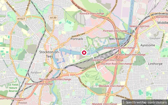 River
RiverTees Barrage slipway
County Durham, EnglandThis slipway sits on the River Tees close to the Tees Barrage, on the reach the barrage holds at the level of an average high tide between Stockton-on-Tees and Thornaby. It lies near the barrage's artificial white water course and its rowing course.
 Open water
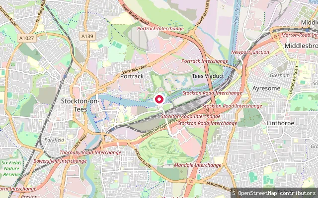
Teesside White Water Course put-in
County Durham, EnglandThis is a second put-in on the Tees Barrage White Water Course, the artificial whitewater channel built alongside the barrage between Stockton-on-Tees and Thornaby. The course draws its flow from the River Tees and is used for canoe slalom and watersport competitions.
 River
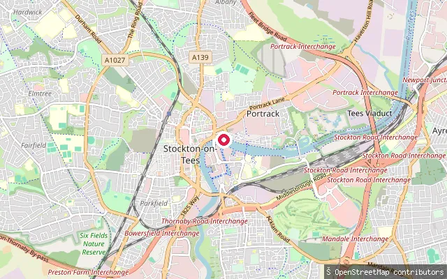
RiverCastlegate Marine Club slipway
County Durham, EnglandThis slipway belongs to Castlegate Marine Club on the River Tees at Castlegate, in Stockton-on-Tees town centre, on the reach the Tees Barrage holds at a steady, non-tidal level.
 River
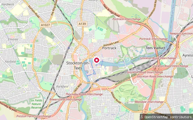
RiverCastlegate slipway
County Durham, EnglandThis slipway lies on the River Tees at Castlegate in Stockton-on-Tees town centre, on the reach the Tees Barrage holds at a steady, non-tidal level a little over a mile downstream.
 Open water
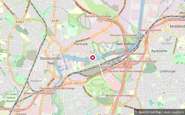
Tees Barrage White Water Course put-in
County Durham, EnglandThis put-in sits on the Tees Barrage White Water Course, an artificial whitewater channel built beside the barrage between Stockton-on-Tees and Thornaby on the River Tees. The course hosts canoe slalom and other watersport competitions and runs alongside the main impounded river channel rather than being part of it.
 Sea
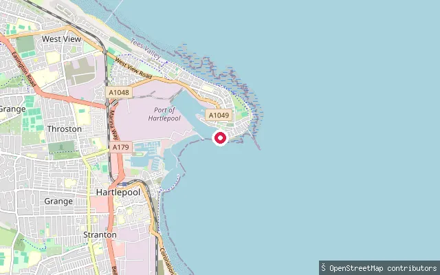
SeaWater Slipway Basin
County Durham, EnglandThis slipway is on Pilot Pier on Hartlepool's Headland, a civil parish covering the old town, and opens onto the North Sea. OpenStreetMap names the feature itself "Water Slipway Basin", but no separate proper name for this stretch of water beyond the open sea was found.
 Sea
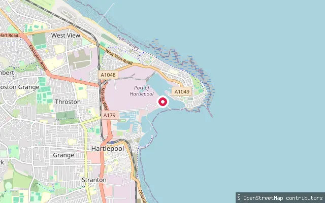
SeaStranton put-in (Hartlepool)
County Durham, EnglandThis slipway sits on Ferry Road within the Port of Hartlepool estate, close to where the harbour opens toward the North Sea near the Headland. OpenStreetMap charts it with small-craft-facility seamarks, which mark facilities used by small boats coming from open water.
 Open water
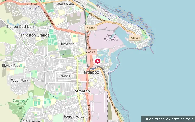
Stranton put-in (Hartlepool)
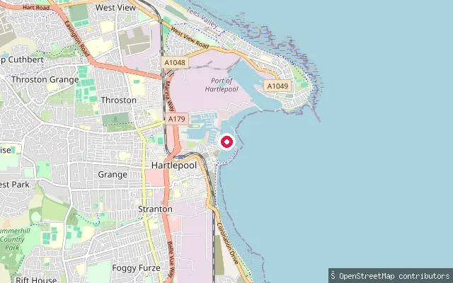
County Durham, EnglandThis slipway on Maritime Avenue launches into Hartlepool Marina beside the Royal Navy Museums Hartlepool quay. The preserved paddle steamer PS Wingfield Castle is moored on the same stretch of water, with the frigate HMS Trincomalee a short distance further along.
 Open water
Stranton put-in (Hartlepool)
County Durham, EnglandThis slipway is on the open shore at Stranton, reached down a short concrete service road off Fleet Avenue. It lies on the coast close to Hartlepool Yacht Club, outside Hartlepool Marina's impounded lock basin, which sits a little further along the shore behind the yacht club and the marina's sea lock. Paddlers launching here put straight onto the tidal water of Hartlepool Bay, rather than the marina's sheltered inner basin.
 River
RiverWest Pasture Farm put-in (Mickleton)
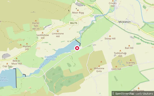
County Durham, EnglandThis slipway is on the River Lune (the County Durham Lune, not the larger Cumbria/Lancashire river of the same name) close to Mickleton, near where the Lune joins the River Tees. The Lune reaches this point after flowing through Lunedale via Selset and Grassholme reservoirs.
 River
RiverSouth Pelaw put-in
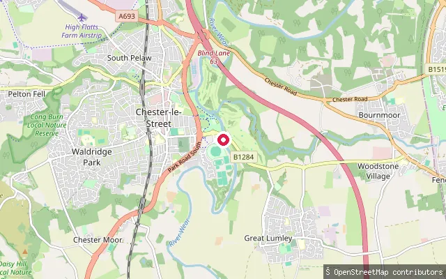
County Durham, EnglandThis slipway sits on the River Wear at South Pelaw, on the edge of Chester-le-Street, close to where the river passes below Lumley Castle. The Wear becomes tidal a short distance further downstream, within the Lambton Estate.
 Sea
SeaSeaham put-in
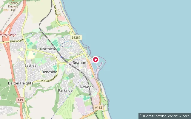
County Durham, EnglandThis slipway is inside the North Dock of Seaham Harbour Marina, a working harbour on the open North Sea coast at the northern end of the Durham Heritage Coast. The dock is tidal and gated, and sits alongside a locked dock still used by commercial cargo ships.
 River
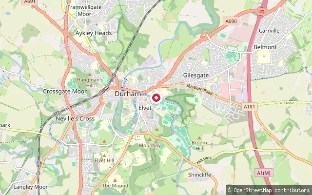
RiverClaypath put-in (mid)
County Durham, EnglandThis slipway sits on the River Wear within the incised meander of the Durham City peninsula, downstream of Claypath's upper access point, on the loop of the river below Durham Cathedral and Castle.
 River
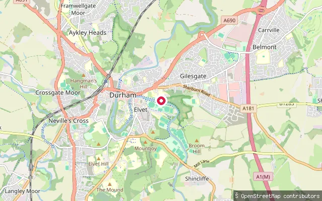
RiverClaypath put-in (lower)
County Durham, EnglandThis slipway sits on the River Wear in Claypath, further downstream along Durham's riverside path, still within the non-tidal city-centre loop of the river.
 River
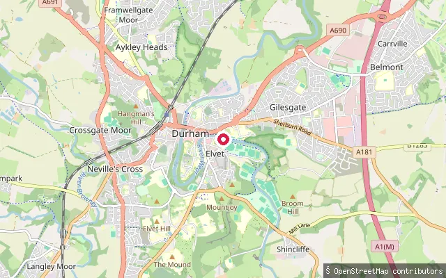
RiverClaypath put-in (upper)
County Durham, EnglandThis slipway lies on the River Wear on the Claypath side of Durham city, on the horseshoe-shaped gorge loop that wraps around the cathedral and castle peninsula, a UNESCO World Heritage Site. It sits on the same non-tidal stretch of the Wear that loops through the city centre.
 River
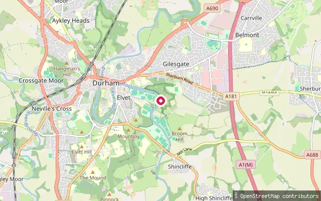
RiverKingfisher Bridge put-in
County Durham, EnglandThis slipway sits on a non-tidal stretch of the River Wear within the Durham City Green Corridor, on the Old Durham side of the city, downstream of the main Claypath stretch.
 River
RiverKingsgate Bridge put-in
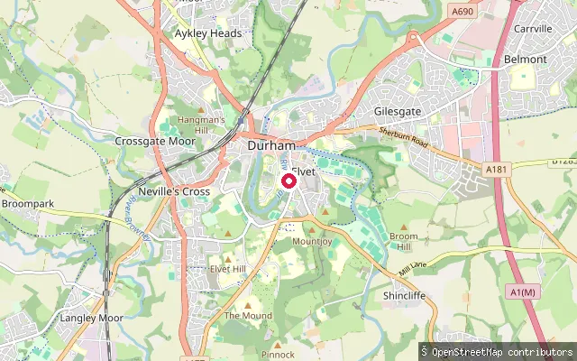
County Durham, EnglandThis slipway sits on the River Wear in central Durham, close to Kingsgate Bridge on the Elvet side of the city. The river cuts a deep, wooded gorge here as it loops around the Durham Cathedral peninsula.
Save your own spots
Keep the places you launch, check the wind and shelter before you go, and log every paddle. Add a spot to the directory too, and other paddlers will find it. Free to start.
Some launch spots in this directory are seeded from open data. © OpenStreetMap contributors · Open Database Licence (ODbL) · Machine-readable copy