Paddleboarding spots in Tyne and Wear
18 launch spots across Tyne and Wear
Many inland waterways need a licence to paddle. Check with Paddle UK before you go.
Every mapped spot in Tyne and Wear
Zoom in to split a cluster; open a pin for the spotMap of every spot in Tyne and Wear
The interactive map opens on any device with JavaScript. The full list of launch spots is below.
Launch spots
Showing 18 of 18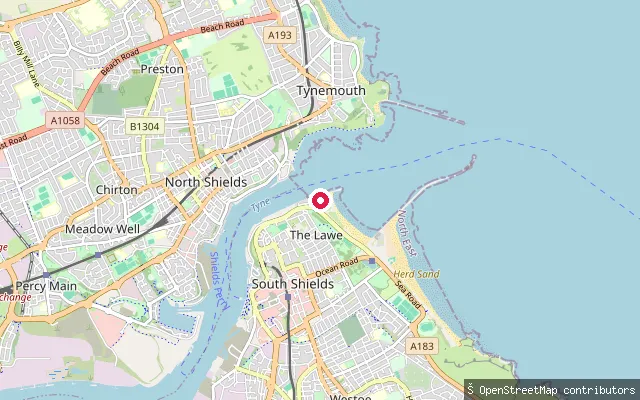 River
RiverThe Lawe slipway (South Shields)
Tyne and Wear, EnglandThis slipway sits on the tidal River Tyne below The Lawe, the headland overlooking South Shields and the river mouth, and is associated with South Shields Sailing Club. The stretch here is within the piered river mouth, close to where the Tyne meets the North Sea.
 River
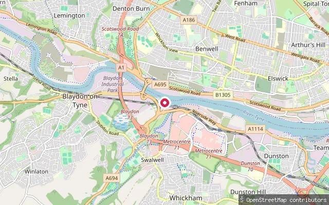
RiverSwalwell put-in (Gateshead)
Tyne and Wear, EnglandA slipway on the tidal River Tyne at Swalwell in Gateshead, close to Derwenthaugh Park near the mouth of the River Derwent. Two slipways here give access to a stretch of the tidal Tyne that is navigable roughly 4 miles upstream and around 13 miles downstream to the sea, and the OSM survey tags this section of river as tidal.
 Sea
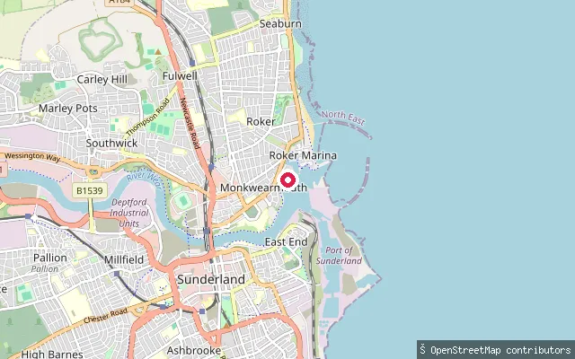
SeaRoker Marina put-in (Sunderland)
Tyne and Wear, EnglandThis slipway launches into Sunderland Marina, a tidal harbour basin at the mouth of the River Wear at Roker, where the Wear flows out to the North Sea between Roker Pier and the South Pier. The marina operator's own site describes a slipway and tidal maintenance shelf available to berth holders and visitors.
 River
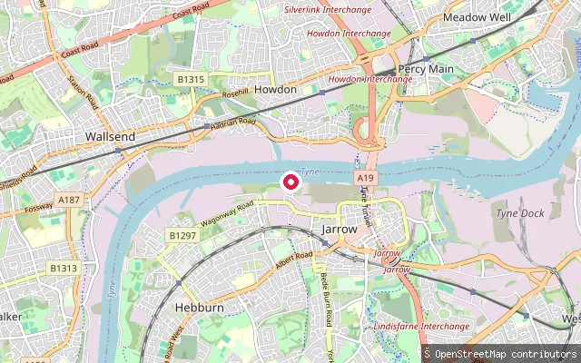
RiverPrimrose put-in (South Tyneside)
Tyne and Wear, EnglandThis slipway sits on the south bank of the tidal River Tyne at Primrose, near Jarrow, roughly opposite Howdon. The harvested name "Primrose" is the surrounding South Tyneside suburb, not the water.
 River
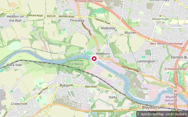
RiverNewburn put-in (Newcastle upon Tyne)
Tyne and Wear, EnglandA slipway on the River Tyne at Water Row in Newburn, Newcastle upon Tyne, next to the Newburn Water Sports Centre site and the boathouses of Tyne Rowing Club and Newcastle University Boat Club. The club describes this part of the river, together with the Wylam and Blaydon stretches, as part of about 22 miles of tidal water it trains on.
 Open water
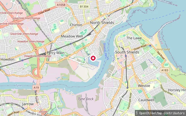
Royal Quays Marina slipway (North Shields)
Tyne and Wear, EnglandThis slipway launches into Albert Edward Dock, the former Tyne dock now run as Royal Quays Marina at North Shields. It is an enclosed, lock-gated basin rather than open river, sheltered from the Tyne's tidal stream.
 River
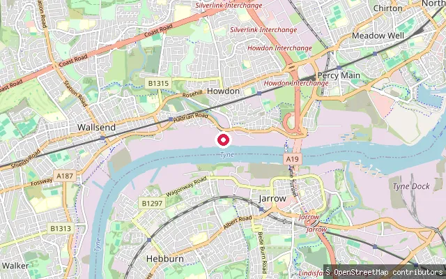
RiverHowdon put-in (North Tyneside)
Tyne and Wear, EnglandThis slipway sits on the north bank of the tidal River Tyne at Howdon, between Wallsend and Jarrow. The Tyne here is a working tidal waterway shared with commercial and leisure river traffic.
 River
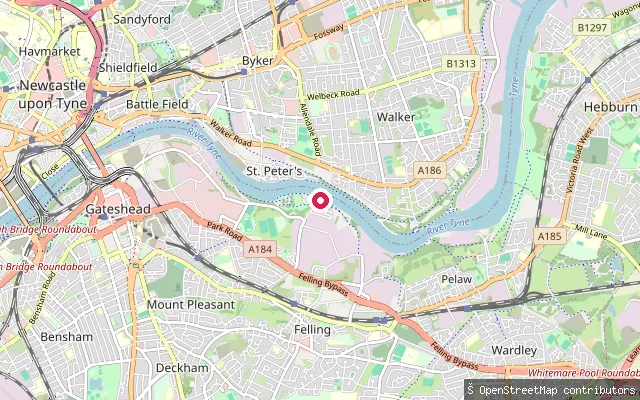
RiverFriars Goose
Tyne and Wear, EnglandThis slipway named Friars Goose sits on the tidal River Tyne at Felling, Gateshead, on a stretch mapped as a permanent, tidal reach of the river.
 Lake
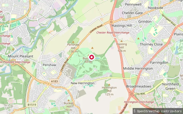
LakeHerrington Country Park slipway (Sunderland)
Tyne and Wear, EnglandThis slipway sits at the lake in Herrington Country Park, a reclaimed former colliery site near New Herrington, Sunderland, beside Penshaw Monument. The park's lake is used for model boat sailing.
 River
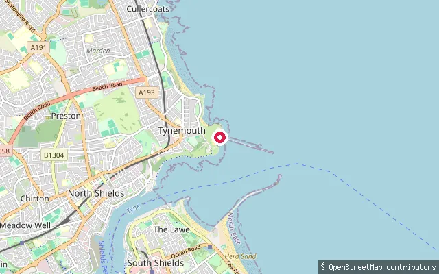
RiverNorth Pier slipway (Tynemouth)
Tyne and Wear, EnglandThis concrete slipway sits inside the mouth of the River Tyne near Tynemouth's North Pier, not at Cullercoats as originally labelled. The location places it close to Prior's Haven and the sheltered water inside the pier heads.
 Sea
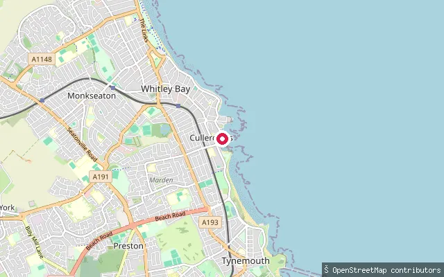
SeaCullercoats put-in (North Tyneside)
Tyne and Wear, EnglandThis slipway launches into Cullercoats Bay on the North Tyneside coast, tagged in OSM as a small craft facility. It sits close to Cullercoats harbour, which shelters a working fishing coble fleet and the Cullercoats lifeboat station.
 River
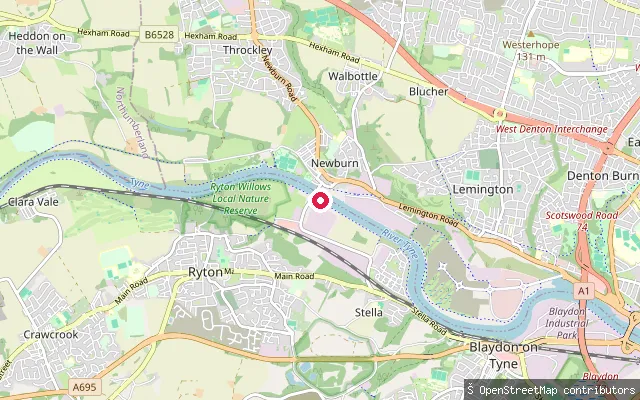
RiverStella put-in (Gateshead)
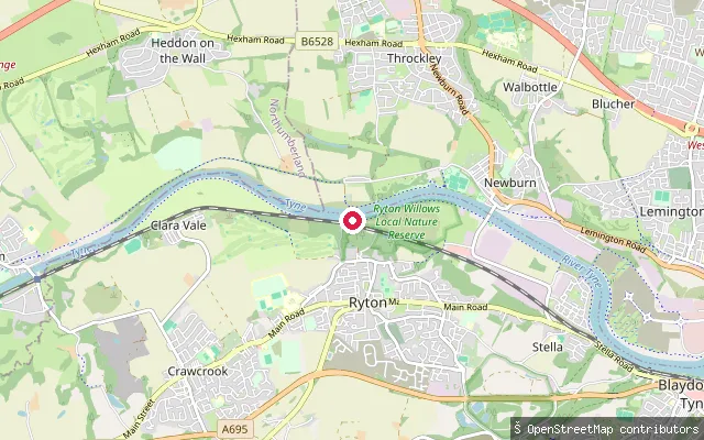
Tyne and Wear, EnglandA slipway on the tidal River Tyne near Newburn Bridge, on the Stella riverbank in Gateshead, roughly opposite Newburn. This reach is within the Port of Tyne Authority's tidal jurisdiction, which extends from the river mouth to the Tidal Stone at Wylam.
 River
RiverCrookhill put-in (Gateshead)
Tyne and Wear, EnglandA slipway on the south bank of the tidal River Tyne at Crookhill, on the western edge of Ryton in Gateshead. This reach lies within the Port of Tyne Authority's tidal jurisdiction, which runs from the river mouth to the Tidal Stone at Wylam, and forms part of the stretch that is navigable without locks between Wylam and the North Sea.
 Lake
LakeCleadon Park pond slipway (South Tyneside)
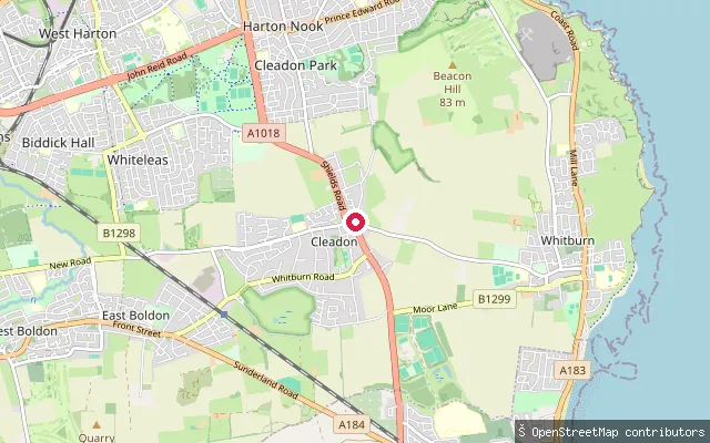
Tyne and Wear, EnglandThis small slipway launches onto an unnamed pond in the Cleadon Park area of Cleadon, South Tyneside, mapped as a permanent, non-tidal body of still water. It is a modest local pond rather than a named lake.
 River
RiverSouth Hylton slipway (Sunderland)
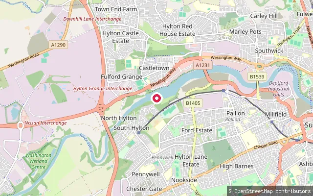
Tyne and Wear, EnglandThis slipway sits on the tidal River Wear at South Hylton, Sunderland, upstream of the city centre. Phase 0 flagged the harvested water_body "Castletown" as a settlement name rather than a water; reverse geocoding places this node at South Hylton, not Castletown, and its OSM edit history confirms it as an update along the River Wear.
 River
RiverByker Pier
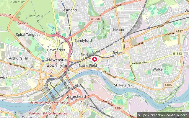
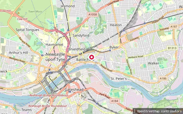
Tyne and Wear, EnglandThis sett-paved slipway, named Byker Pier on OSM, sits at Byker Bank in Newcastle's Ouseburn valley, close to where the tidal Ouseburn joins the River Tyne. It sits about 145 metres from another mapped slipway at the same confluence.
 River
RiverByker Bank slipway, Ouseburn (Newcastle upon Tyne)
Tyne and Wear, EnglandThis slipway sits at Byker Bank where the tidal Ouseburn meets the River Tyne in Newcastle's Ouseburn valley. It sits some 145 metres from another mapped slipway, Byker Pier, at the same confluence.
 River
RiverThrockley put-in (Newcastle upon Tyne)
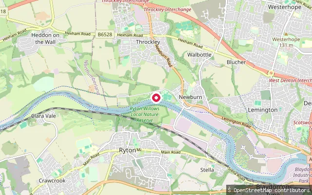
Tyne and Wear, EnglandThis slipway sits on a broad tidal reach of the River Tyne at Newburn, in Tyne Riverside Country Park, about two miles downstream of the tide's upper limit at Wylam. Newburn Bridge crosses just downstream, and the river continues east through Blaydon, Scotswood and Newcastle on its way to the sea. Ryton Willows nature reserve and the site of the 1640 Battle of Newburn lie across the water on the opposite bank.
Save your own spots
Keep the places you launch, check the wind and shelter before you go, and log every paddle. Add a spot to the directory too, and other paddlers will find it. Free to start.
Some launch spots in this directory are seeded from open data. © OpenStreetMap contributors · Open Database Licence (ODbL) · Machine-readable copy