Paddleboarding spots in East Sussex
25 launch spots across East Sussex
This weekend’s calmest picks in East Sussex
See the ranked launch spots for the best conditions this weekend
Many inland waterways need a licence to paddle. Check with Paddle UK before you go.
Every mapped spot in East Sussex
Zoom in to split a cluster; open a pin for the spotMap of every spot in East Sussex
The interactive map opens on any device with JavaScript. The full list of launch spots is below.
Launch spots
Showing 24 of 25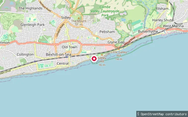 Sea
SeaGlyne Gap put-in (Bexhill-on-Sea)
East Sussex, EnglandThis slipway lies at the eastern edge of Glyne Gap, close to the Bexhill-on-Sea and Hastings boundary, and gives access to the English Channel.
 Sea
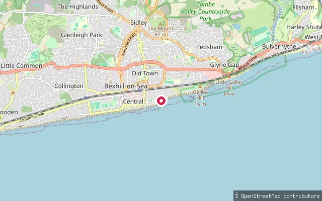
SeaGlyne Gap put-in (Bexhill-on-Sea)
East Sussex, EnglandThis launch point lies at Glyne Gap, the low-lying land that separates Bexhill-on-Sea from Hastings, and gives access to the English Channel.
 Lake
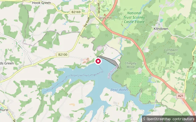
LakeBewl Water slipway, Wadhurst
East Sussex, EnglandThis slipway is on Bewlbridge Lane on the East Sussex shore of Bewl Water, near Wadhurst. Bewl Water is a Southern Water reservoir on the River Bewl that straddles the Kent and East Sussex border, and its on-site Outdoor Centre runs sailing, canoeing, kayaking and paddleboarding sessions.
 River
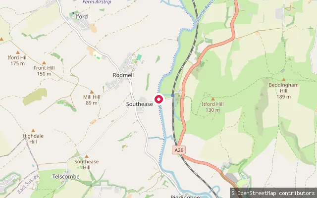
RiverSouthease put-in (Lewes)
East Sussex, EnglandThis slipway sits on the west bank of the tidal Sussex Ouse, upstream of Newhaven Harbour and south of Lewes, immediately north of Southease's Grade II listed swing bridge and facing the Iron Age hillfort of Mount Caburn. The bridge's swing span last opened in 1967 and was fixed permanently in 1988 under parliamentary powers to stop large vessels passing further upstream, so the site is the remains of a historic slipway rather than a maintained boat ramp.
 River
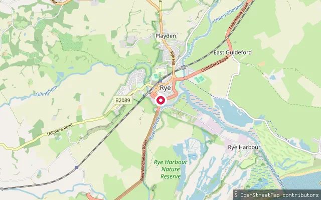
RiverRock Channel slipway, Rye
East Sussex, EnglandThis slipway lies on Rock Channel at Rye, the tidal reach where the River Tillingham and River Brede join the Rother before it reaches the sea at Rye Harbour, close to the town's Strand and railway station. The Rother is a free river under Environment Agency jurisdiction, so no waterways licence is required to paddle it, an exception among the Agency's navigations.
 Sea
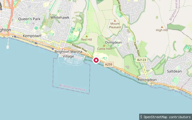
SeaRoedean put-in
East Sussex, EnglandThis slipway opens onto the open Channel coast on the Undercliff Walk east of Brighton Marina, below Roedean. It is unsheltered open coast rather than a harbour or cove.
 Sea
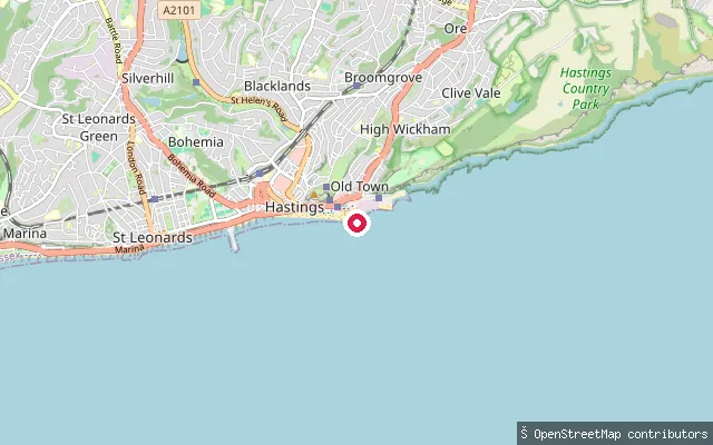
SeaThe Stade put-in (Hastings Old Town)
East Sussex, EnglandThis slipway is at the Stade in Hastings Old Town, a shingle beach described as home to Britain's largest beach-launched fishing fleet, and it gives access to the English Channel.
 River
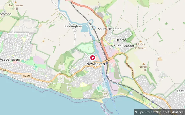
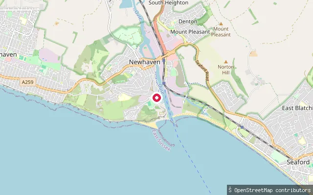
RiverDenton Island put-in (Newhaven)
East Sussex, EnglandThis concrete slipway sits on the tidal River Ouse by Denton Island, the business-park island the river splits from the rest of Newhaven north of the town's harbour mouth.
 Sea
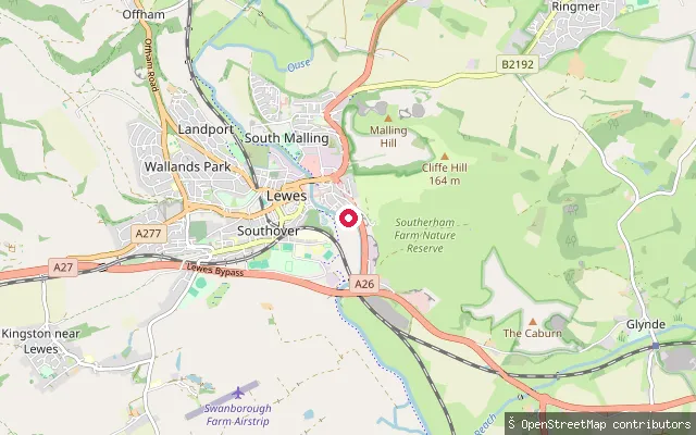
SeaNewhaven put-in
East Sussex, EnglandNewhaven Harbour is a working cross-Channel ferry port at the tidal mouth of the River Ouse, with international ferries sailing daily to Dieppe in France.
 River
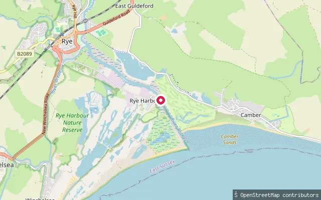
RiverLewes put-in
East Sussex, EnglandThis slipway is on the tidal River Ouse in the Cliffe area of Lewes, on South Street on the east bank, about 55 metres from another mapped slipway on the same stretch.
 Sea
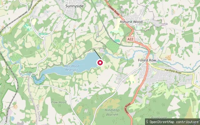
SeaRye Harbour beach slipway
East Sussex, EnglandRye Harbour is a small, tidal fishing and leisure harbour on the River Rother, close to where the river reaches Rye Bay on the East Sussex coast; it is a working commercial harbour with a large fishing fleet, controlled by the Environment Agency as the statutory harbour authority. The shingle frontage around it forms part of Rye Harbour Nature Reserve, managed by Sussex Wildlife Trust.
 Lake
LakeWeir Wood Reservoir slipway, Forest Row
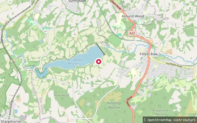
East Sussex, EnglandThis slipway is the closest of the reservoir's east-arm launch points to Forest Row village itself, on Weir Wood Reservoir, a Southern Water reservoir formed in 1954 by damming the upper River Medway.
 River
RiverDeans Farm put-in (Lewes)
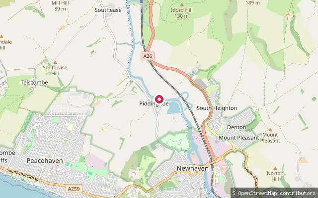
East Sussex, EnglandThis slipway is on the tidal River Ouse near Deans Farm, close to Piddinghoe, on the stretch between Southease and Newhaven where the river winds through the Ouse valley with views over the downs.
 Lake
LakeWeir Wood Reservoir slipway (east arm)
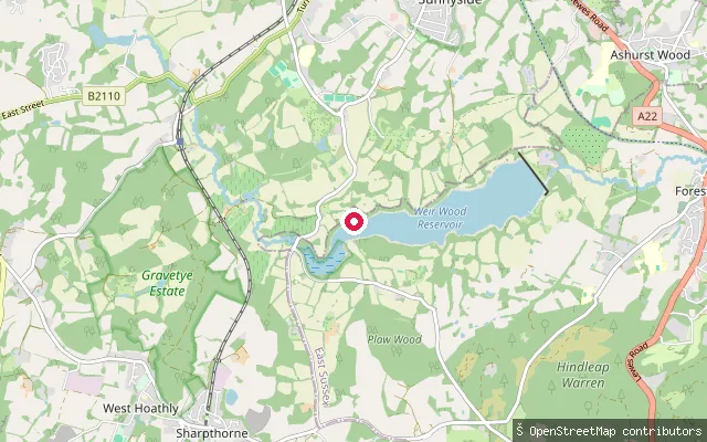
East Sussex, EnglandThis slipway sits on the eastern arm of Weir Wood Reservoir near Forest Row, beside a shingle shore, on the deeper section of the reservoir formed in 1954 by damming the upper River Medway.
 Lake
LakeWeir Wood Reservoir slipway (west arm, Old Road)
East Sussex, EnglandThis second slipway lies around 190 metres from way/509902760 on the shallow western arm of Weir Wood Reservoir, off Old Road near Forest Row. The reservoir was formed in 1954 by damming the upper River Medway and is now a Site of Special Scientific Interest noted for its wintering wildfowl.
 Sea
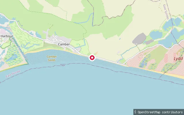
SeaJury's Gap slipway, Camber Sands
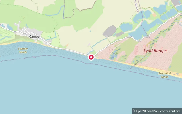
East Sussex, EnglandThis concrete slipway launches onto Rye Bay at Jury's Gap, near the car park at the eastern end of Camber Sands beach in East Sussex. The beach restricts kite-launching to a designated area near this car park; sand gives way to shingle a short distance further on towards the Kent border.
 Sea
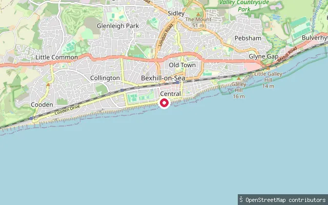
SeaCamber Sands slipway
East Sussex, EnglandThis slipway sits on Camber Sands, a beach on Rye Bay near the village of Camber in East Sussex, forming part of a mapped section of the England Coast Path. Camber Sands runs for about three miles behind East Sussex's only dune system, with shingle replacing sand close to the Kent border further east.
 Sea
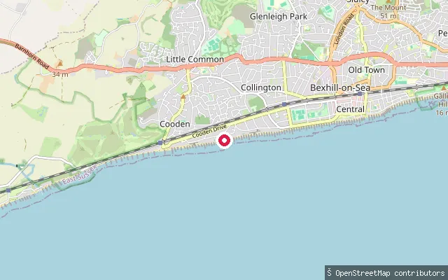
SeaBexhill-on-Sea put-in (Rother)
East Sussex, EnglandThis launch point is on Central Parade in the centre of Bexhill-on-Sea, near the De La Warr Pavilion, and gives access to the English Channel.
 Sea
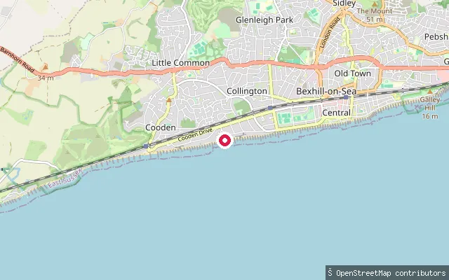
SeaBexhill-on-Sea put-in (Rother)
East Sussex, EnglandThis slipway sits on the promenade at Cooden, at the western edge of Bexhill-on-Sea, and gives access to the English Channel.
 Sea
SeaBexhill-on-Sea put-in (Rother)
East Sussex, EnglandThis launch point sits on the promenade at Cooden, the western end of Bexhill-on-Sea's seafront noted for its golf and tennis clubs, and gives access to the English Channel.
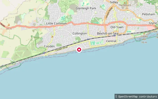 Sea
SeaBexhill-on-Sea put-in (Rother)
East Sussex, EnglandThis slipway is on Bexhill-on-Sea's seafront at Collington, on the open English Channel coast between Cooden to the west and Bexhill's town centre and Hastings to the east.
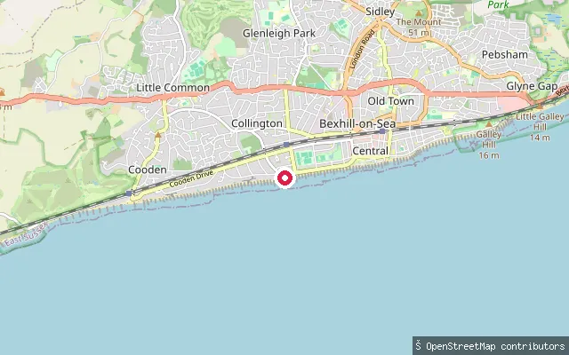 Sea
SeaBexhill-on-Sea put-in (Rother)
East Sussex, EnglandThis slipway sits on Bexhill's promenade at Collington and gives access to the English Channel on the Sussex coast, between Hastings and Eastbourne.
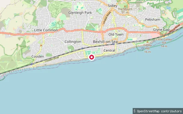 Sea
SeaBexhill-on-Sea put-in (Rother)
East Sussex, EnglandThis slipway sits on Bexhill-on-Sea's West Promenade, near the Grade I listed De La Warr Pavilion, and gives access to the English Channel on the Sussex coast between Hastings and Eastbourne.
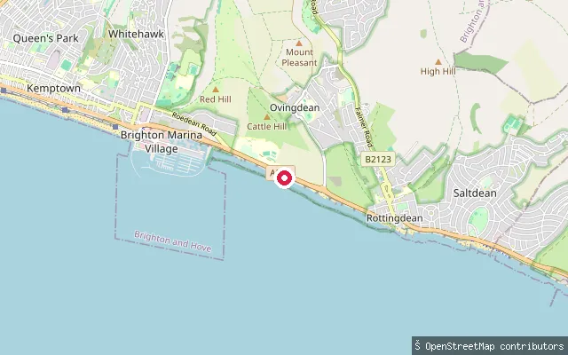 Sea
SeaOvingdean put-in
East Sussex, EnglandThis is a concrete slipway onto the open Channel coast on the Undercliff Walk between Brighton Marina and Rottingdean, below the chalk cliffs at Ovingdean. It sits on the seaward side of the promenade with no harbour or breakwater shelter.
Save your own spots
Keep the places you launch, check the wind and shelter before you go, and log every paddle. Add a spot to the directory too, and other paddlers will find it. Free to start.
Some launch spots in this directory are seeded from open data. © OpenStreetMap contributors · Open Database Licence (ODbL) · Machine-readable copy