Paddleboarding spots in Berkshire
17 launch spots across Berkshire
Many inland waterways need a licence to paddle. Check with Paddle UK before you go.
Every mapped spot in Berkshire
Zoom in to split a cluster; open a pin for the spotMap of every spot in Berkshire
The interactive map opens on any device with JavaScript. The full list of launch spots is below.
Launch spots
Showing 17 of 17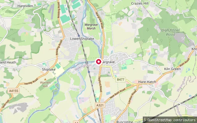 River
RiverWargrave put-in
Berkshire, EnglandThis slipway on Fidlers Walk launches onto the River Thames at Wargrave, on the reach between Shiplake and Henley. Paddle UK membership or an Environment Agency/Canal & River Trust waterways licence covers paddling on this non-tidal stretch.
 River
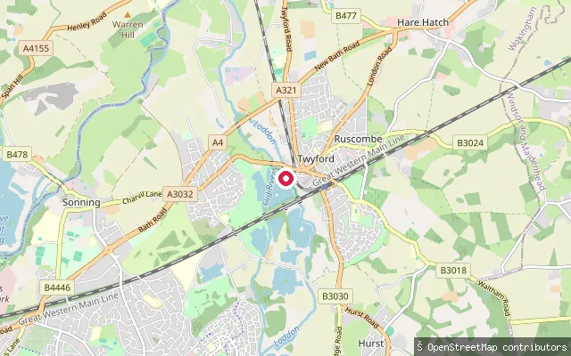
RiverTwyford put-in
Berkshire, EnglandThis put-in sits on the Old River, a side channel of the River Thames linking to the River Loddon between Woodley and Twyford, with a described "left hand bank" entry point. OpenStreetMap grades the channel as grade 1 whitewater and records it as carrying boat traffic.
 Lake
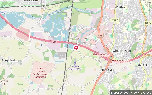
LakeLagoona Park slipway
Berkshire, EnglandThis slipway launches onto a lake at Lagoona Park, a watersports venue off Pingewood Road South near Three Mile Cross, south of Reading. OpenStreetMap tags the venue for jet-ski use; available sources do not confirm that it accommodates paddleboarding.
 River
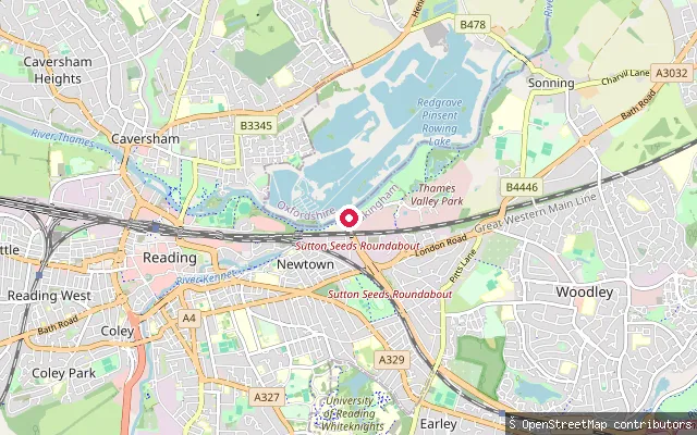
RiverEarley put-in
Berkshire, EnglandThis launch point sits on the River Thames beside the Thames Valley Park business estate in Earley, just east of Reading, reached by an unlit grass-paver slipway signed for water access only. Paddle UK membership or a Canal and River Trust/Environment Agency waterways licence covers paddling on this non-tidal stretch.
 River
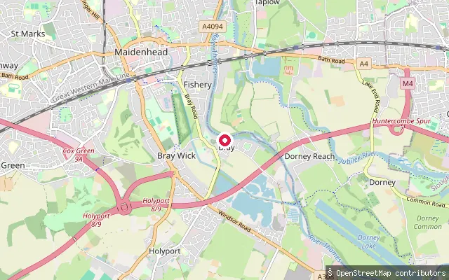
RiverThe Waterside Inn slipway (Bray)
Berkshire, EnglandThis slipway sits on the River Thames at Bray, on Ferry Road beside the Michelin-starred Waterside Inn restaurant. It reads as a private riverside slipway serving the restaurant rather than a public launch point.
 River
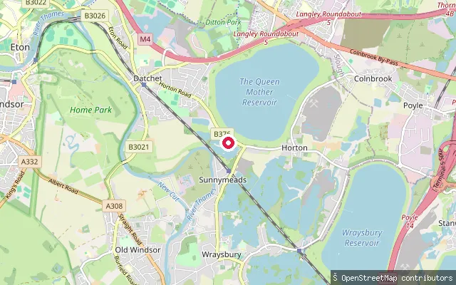
RiverMonastery Cottages put-in (Datchet)
Berkshire, EnglandThis slipway launches onto the River Thames on Datchet Reach, close to Albert Bridge between Datchet and Old Windsor. It is a simple leisure slipway with no further facilities recorded.
 River
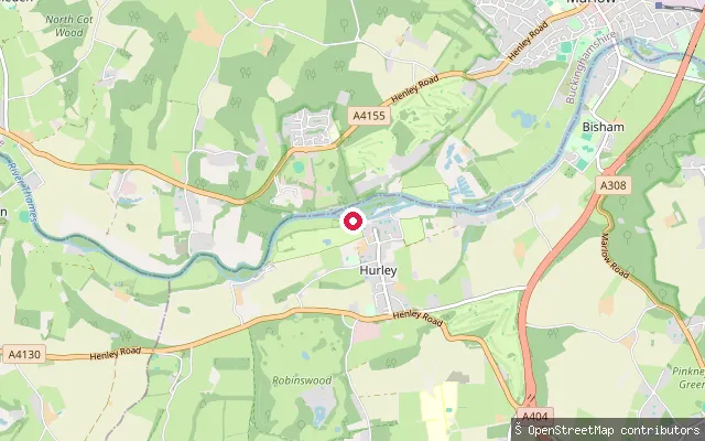
RiverHurley put-in
Berkshire, EnglandThis put-in at Hurley Lock reaches the River Thames via a short footpath from the free car park at the end of Hurley High Street, launching onto a flat stretch by the lock among a clump of wooded islands. The main weir, on the Buckinghamshire bank, is a known freestyle kayaking venue that hosts the annual Hurley Classic when its gates are open after rain.
 River
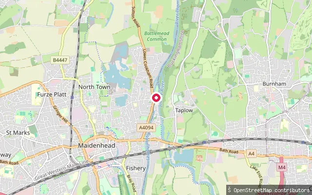
RiverFishery put-in (Maidenhead)
Berkshire, EnglandThis slipway launches onto the River Thames beside Ray Mill Island at Boulter's Lock, on the northern edge of Maidenhead. Boulter's Weir is a well-known spot for freestyle kayaking, with a seasonal canoe and kayak flume running alongside the main lock.
 River
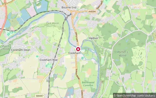
RiverCookham put-in
Berkshire, EnglandThis slipway launches onto the River Thames at the site of the former Cookham Ferry, off Ferry Lane in the village. Cookham Reach runs between Cookham Lock and Boulter's Lock, with a long line of moorings above Cookham Bridge.
 River
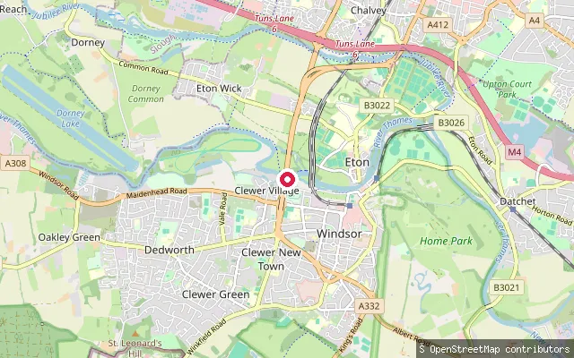
RiverClewer Village put-in (Windsor)
Berkshire, EnglandA second slipway on the same Clewer reach of the River Thames, around 300 metres east of the Moorings put-in on the west side of Windsor. As with the rest of this non-tidal reach, the Environment Agency requires registration for unpowered craft.
 River
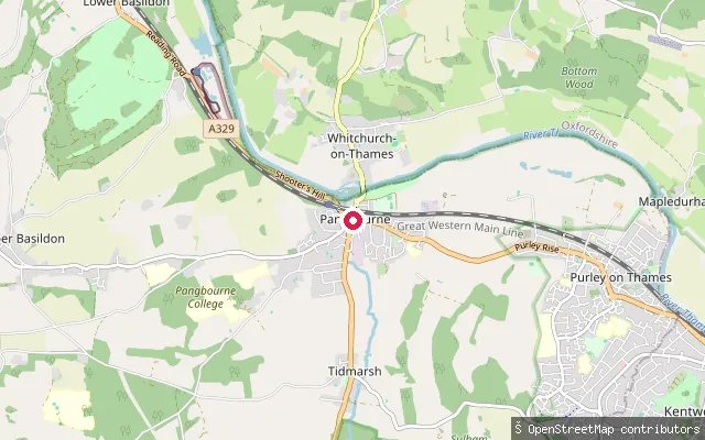
RiverPangbourne put-in
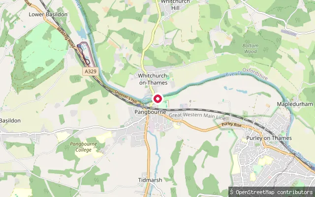
Berkshire, EnglandThis slipway on Pangbourne's High Street launches onto the River Thames close to where the River Pang joins it, between Whitchurch Lock and Whitchurch Bridge opposite Whitchurch-on-Thames in Oxfordshire.
 Canal
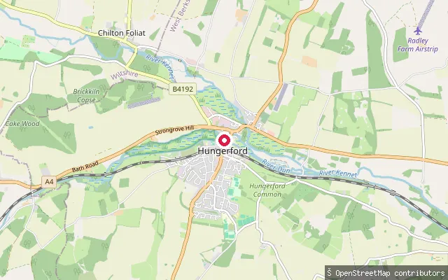
CanalHungerford put-in
Berkshire, EnglandThis concrete slipway on Canal Walk in Eddington launches onto the Kennet and Avon Canal at Hungerford, close to where the canal's restored section reopened to Hungerford Wharf in 1974. The Canal and River Trust requires a waterways licence for canoes and paddleboards here, though OSM records no separate fee for the slipway itself.
 Canal
CanalBurghfield put-in
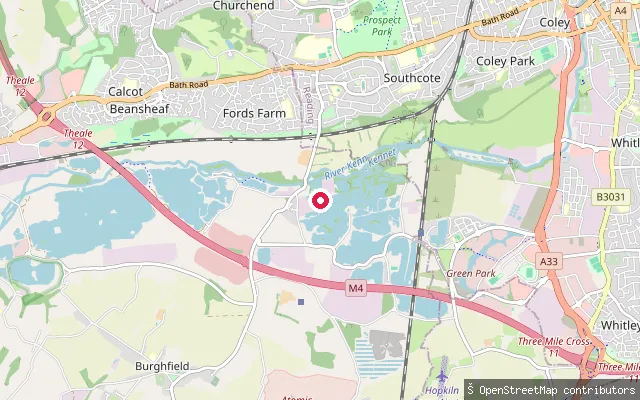
Berkshire, EnglandThis slipway on Green Lane, Burghfield, launches onto the canalised River Kennet, part of the Kennet and Avon Canal navigation on the western edge of Reading. The Canal and River Trust manages this stretch, which was made navigable between 1718 and 1723 through a series of locks including nearby Fobney, Southcote and Burghfield, and requires a waterways licence.
 River
RiverPangbourne slipway (Thames Avenue)
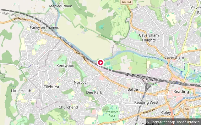
Berkshire, EnglandThis free slipway lies on Thames Avenue in Pangbourne, on the Berkshire bank of the River Thames opposite Whitchurch-on-Thames, close to the toll bridge linking the two villages.
 River
RiverScours Lane slipway (Tilehurst)
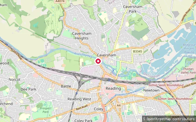
Berkshire, EnglandThis slipway on Scours Lane in Tilehurst, Reading, gives access to the River Thames on the Berkshire bank, on a wide, straight stretch the council calls Kentwood Deeps, opposite Mapledurham. Mapledurham's watermill and lock lie on the north bank a short distance upstream.
 River
RiverThames Side Promenade slipway (Caversham)
Berkshire, EnglandThis slipway sits on the River Thames at Thames Side Promenade, on the south bank of the river immediately west of Caversham Bridge. Paddle UK membership or a Canal and River Trust/Environment Agency waterways licence covers paddling on this non-tidal stretch.
 Lake
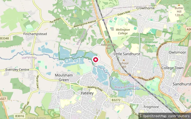
LakeHorseshoe Lake Activity Centre slipway
Berkshire, EnglandThis slipway launches onto Horseshoe Lake, a flooded gravel pit in the Blackwater Valley near Sandhurst, run as the Horseshoe Lake Activity Centre. The operator hires paddleboards, kayaks and open canoes, alongside an open-water swim loop.
Save your own spots
Keep the places you launch, check the wind and shelter before you go, and log every paddle. Add a spot to the directory too, and other paddlers will find it. Free to start.
Some launch spots in this directory are seeded from open data. © OpenStreetMap contributors · Open Database Licence (ODbL) · Machine-readable copy