Paddleboarding spots in Somerset
38 launch spots across Somerset
This weekend’s calmest picks in Somerset
See the ranked launch spots for the best conditions this weekend
Many inland waterways need a licence to paddle. Check with Paddle UK before you go.
Every mapped spot in Somerset
Zoom in to split a cluster; open a pin for the spotMap of every spot in Somerset
The interactive map opens on any device with JavaScript. The full list of launch spots is below.
Launch spots
Showing 24 of 38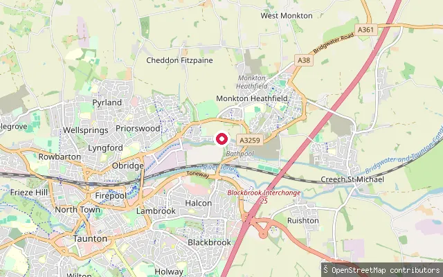 Canal
CanalBathpool Boatyard slipway
Somerset, EnglandThis slipway serves the Canal and River Trust moorings and boatyard at Bathpool, a hamlet in West Monkton parish on the northeastern edge of Taunton, on the Bridgwater and Taunton Canal. The canal here runs close to, but separately from, the River Tone, which also passes through Bathpool a short distance away.
 Sea
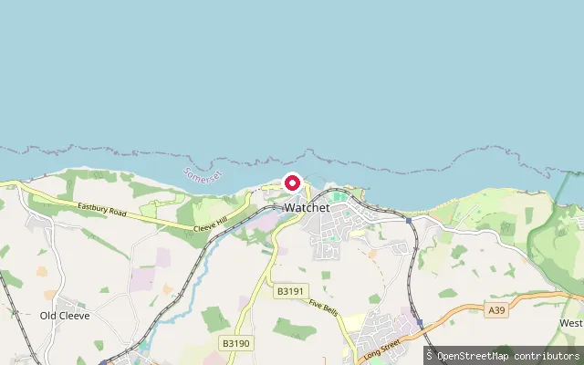
SeaWest Street slipway, Watchet
Somerset, EnglandThis slipway on West Street gives access to Watchet Harbour on the Bristol Channel. The harbour's eastern basin was impounded behind a cross wall and tidal gate in 2001 to create a leisure marina, while the outer harbour stays tidal and dries at low water. Somerset Council charges a fee to launch a kayak or paddleboard here.
 Sea
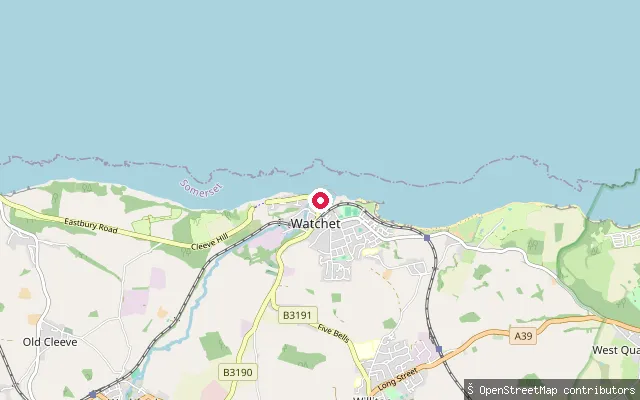
SeaWatchet Harbour slipway
Somerset, EnglandWatchet Harbour is a small tidal harbour on the Somerset coast of the Bristol Channel, at the mouth of the Washford River where it opens onto Bridgwater Bay. It dries out completely at low water, and a nineteenth-century lighthouse on the West Pier marks the harbour entrance.
 River
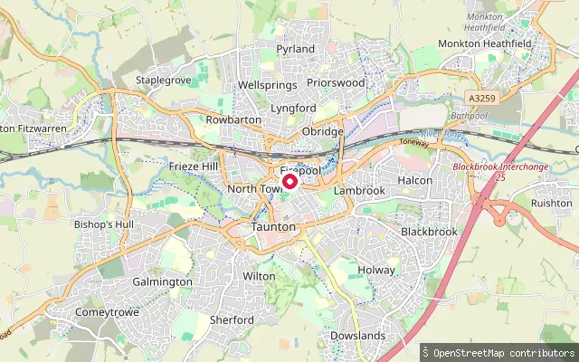
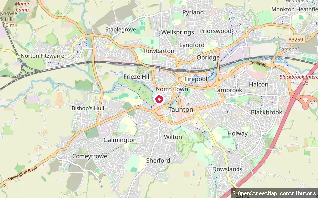
RiverFirepool Slipway
Somerset, EnglandA concrete slipway on the River Tone at Firepool in Taunton, close to Firepool Lock where the Bridgwater and Taunton Canal joins the river. The redeveloped Firepool area has become a recognised launch point for paddling trips downstream from the town centre.
 River
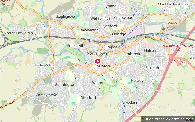
RiverFrench Weir Close Slipway
Somerset, EnglandA free public slipway with a paving-stone surface on the River Tone at French Weir Close in Taunton, a short walk downstream of French Weir Park. The stretch lies within the 0.8-mile section of the Tone in Taunton that retains a statutory right of navigation.
 River
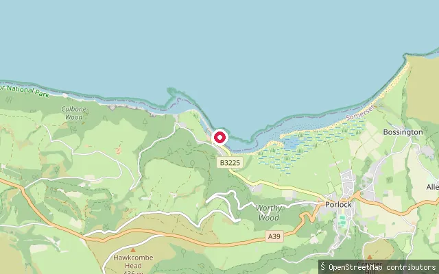
RiverTangier Way Slipway
Somerset, EnglandA slipway on the River Tone at Tangier, between Firepool and French Weir Park in Taunton, close to a footbridge and the site of a former lock and weir. The riverbank here was restored as part of works recorded by OSM contributors.
 Sea
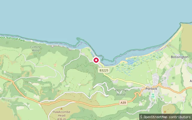
SeaPorlock Weir beach slipway
Somerset, EnglandThis unserviced slipway lies on the shingle beach east of Porlock Weir harbour on the Exmoor coast, launching onto Porlock Bay and the Bristol Channel. OpenStreetMap notes the surface as smaller shingle over larger rocks, not continuous down to mean low water springs because of shingle drift, and recommends pneumatic-tyred trolleys. Porlock Bay dries over a roughly 9 metre tidal range, so launching is easiest close to high tide.
 Sea
SeaPorlock Weir harbour slipway
Somerset, EnglandThis slipway sits within Porlock Weir's small drying harbour on the Exmoor coast, opening onto Porlock Bay and the Bristol Channel. The harbour dries completely at low water on a mean spring tidal range of around 9.3 metres; the harbour's own tide information gives an access window of just over an hour either side of high water.
 River
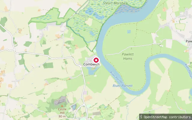
RiverCombwich slipway (Riverside)
Somerset, EnglandThis slipway sits on Riverside in Combwich, a village on the west bank of the tidal River Parrett where the river runs through a stretch known as Combwich Reach on its way to Bridgwater Bay. Combwich has been used as a small river port since Roman times, and paddlers can expect the large tidal range typical of the upper Bristol Channel.
 Sea
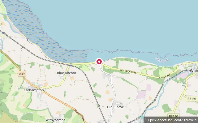
SeaBlue Anchor slipway
Somerset, EnglandBlue Anchor Bay is an open embayment of the Bristol Channel, part of the Blue Anchor to Lilstock Coast geological Site of Special Scientific Interest, whose Jurassic and Triassic cliffs are streaked with alabaster, a form of gypsum that gave rise to the colour name "Watchet Blue". The West Somerset Railway runs immediately behind the beach, with Watchet harbour about two miles east and the Welsh coast visible across the channel to the north.
 Sea
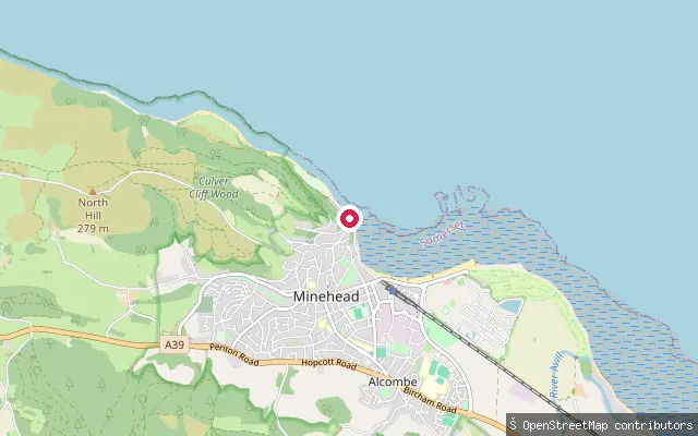
SeaMinehead put-in
Somerset, EnglandMinehead Harbour sits on the Bristol Channel below North Hill, at the western end of Minehead's seafront, sheltered by a pier that curves eastwards to shield the basin from northerly winds. It marks the start of the South West Coast Path, the 630-mile National Trail that runs from here to Poole in Dorset.
 Lake
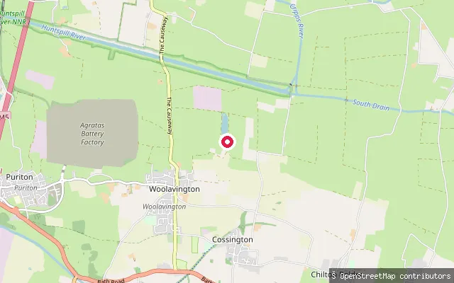
LakeMiddlemoor Sports Lake
Somerset, EnglandMiddlemoor Sports Lake is a purpose-built, 20-acre watersports lake at Middlemoor Water Park near Woolavington on the Somerset Levels, opened in 1989. The privately run centre is built around waterskiing, wakeboarding and a cable wake system, with a licensed clubhouse overlooking the water.
 River
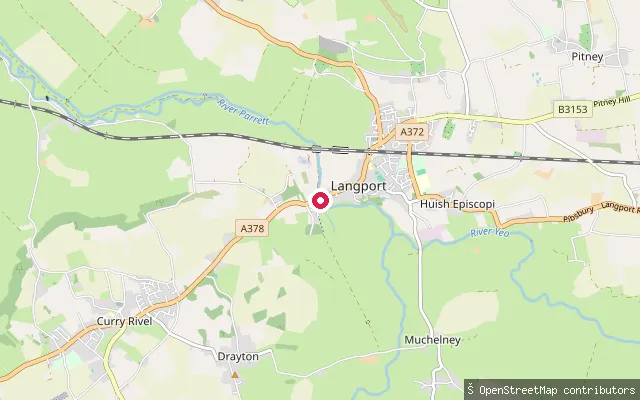
RiverLangport put-in
Somerset, EnglandLangport put-in sits on the River Parrett's north bank in the town centre, on the 7.6-mile stretch of non-tidal river that the Langport River Project reopened for canoes, kayaks, paddleboards and trailboats, together with short sections of the River Yeo and River Isle. The Environment Agency is the navigation authority for this reach; Langport Town Council owns and maintains the riverside land, having bought it from the Environment Agency in 2016.
 River
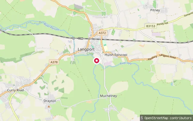
RiverHuish Episcopi put-in
Somerset, EnglandHuish Bridge slipway is on the non-tidal River Parrett at Huish Episcopi, on the eastern edge of Langport in Somerset, within the low, flat moorland the river crosses on its way to the Bristol Channel.
 River
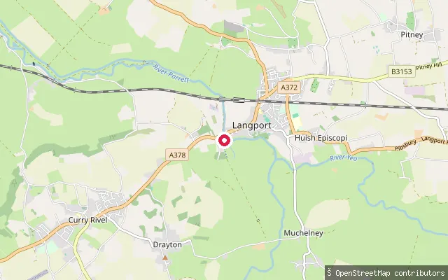
RiverHuish Episcopi put-in
Somerset, EnglandThis is a slipway on the River Parrett's south bank at Langport, opposite the town centre, part of the 7.6-mile non-tidal stretch between Oath Lock and Thorney Mills reopened for paddling by the Langport River Project.
 Lake
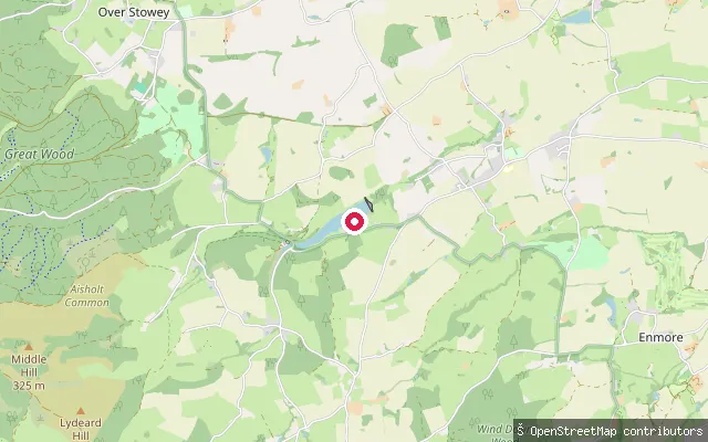
LakeHawkridge Reservoir
Somerset, EnglandHawkridge Reservoir is a 32-acre Wessex Water reservoir on the edge of the Quantock Hills near Spaxton, built between 1960 and 1962 to supply drinking water to Bridgwater. It is now managed mainly for trout angling, with public rights of way around the site giving views over the water.
 Lake
LakeHarewood Farm put-in (Brompton Regis)
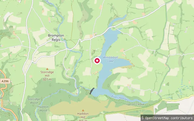
Somerset, EnglandThis slipway on Wimbleball Lake, a South West Lakes Trust reservoir on Exmoor, lies on the north shore near Harewood Farm and the village of Brompton Regis. Bringing your own paddleboard or kayak requires a self-launch permit and third-party insurance through the lake's activity centre.
 Lake
LakeHarewood Farm put-in (Brompton Regis)
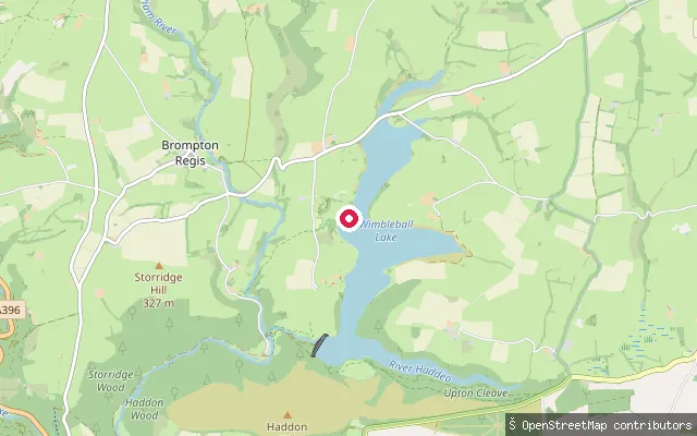
Somerset, EnglandWimbleball Lake is a South West Lakes Trust reservoir on Exmoor, and this slipway sits on its northern arm close to Harewood Farm, near the village of Brompton Regis. Paddlers bringing their own board or kayak need a self-launch permit and third-party insurance, bookable through the lake's activity centre, which also offers hire and lessons.
 River
RiverFrench Weir Park Swimming steps
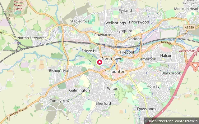
Somerset, EnglandConcrete steps into the River Tone at French Weir Park in Taunton, on the stretch above the weir that the Environment Agency designated a bathing water in 2024. A slipway for craft sits a few metres away on the same bank.
 River
RiverFrench Weir Park Slipway
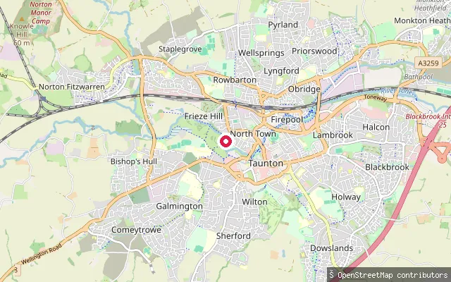
Somerset, EnglandThe River Tone runs about 33 km from Beverton Pond in the Brendon Hills, through Clatworthy Reservoir, to join the River Parrett at Burrowbridge. This slipway launches onto the river's non-tidal reach through Taunton town centre, a few metres from the park's separate swimming steps.
 Canal
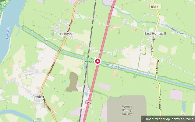
CanalEast Huntspill put-in
Somerset, EnglandThe Huntspill River is a five-mile, wholly artificial drainage channel cut during the Second World War to supply water to a nearby munitions factory, running from the Gold Corner sluice to an outfall on the River Parrett estuary. The Environment Agency manages it as a National Nature Reserve, with retention sluices at both ends holding the water like a long, still reservoir rather than a free-flowing river.
 River
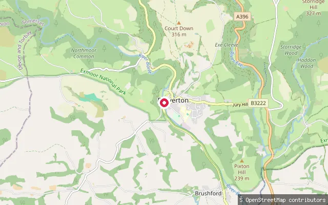
RiverDulverton put-in
Somerset, EnglandThe River Barle passes through Dulverton on Exmoor before joining the River Exe near Exebridge. A concrete slipway with no launch fee gives access from the town on a stretch that carries grade 2 to 3 water on the popular Tarr Steps to Dulverton run. Canoeing on the river relies on a permissive access arrangement with riparian landowners and Natural England, given the Barle's SSSI status.
 River
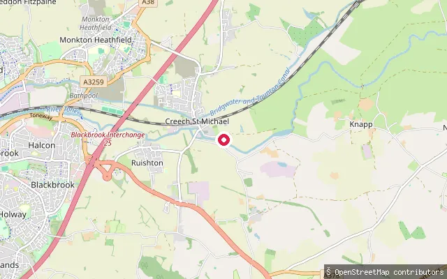
RiverCreech St. Michael put-in
Somerset, EnglandThis slipway sits on the River Tone at Ham, the hamlet on the northern edge of Creech St Michael, a few miles downstream of Taunton. The stretch lies close to the site of the former Ham weir and lock, and the Bridgwater and Taunton Canal runs on a separate line a short distance to the south through the same village.
 Lake
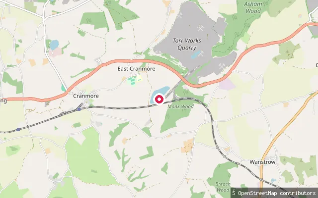
LakeTorr Works Balancing Reservoir slipway
Somerset, EnglandThis small reservoir sits beside Torr Works quarry on the eastern Mendip Hills near Cranmore. Aggregate Industries pumps water from quarry dewatering into it, partly to augment the Whatley Brook, and the reservoir has become a roost for large numbers of gulls. Torr Works is an active limestone quarry with restricted access, and no source found confirms public paddling access.
Save your own spots
Keep the places you launch, check the wind and shelter before you go, and log every paddle. Add a spot to the directory too, and other paddlers will find it. Free to start.
Some launch spots in this directory are seeded from open data. © OpenStreetMap contributors · Open Database Licence (ODbL) · Machine-readable copy