Paddleboarding spots in Derbyshire
4 launch spots across Derbyshire
Many inland waterways need a licence to paddle. Check with Paddle UK before you go.
Every mapped spot in Derbyshire
Zoom in to split a cluster; open a pin for the spotMap of every spot in Derbyshire
The interactive map opens on any device with JavaScript. The full list of launch spots is below.
Launch spots
Showing 4 of 4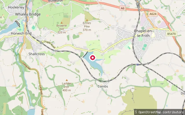 Lake
LakeCombs Sailing Club slipway
Derbyshire, EnglandCombs Reservoir is a Canal & River Trust reservoir near Combs village, about a kilometre from Chapel-en-le-Frith, built in 1797 as the first feeder for the Peak Forest Canal. This slipway belongs to Combs Sailing Club, and paddling here is on club terms.
 Canal
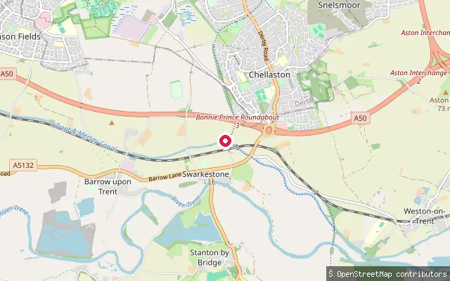
CanalSwarkestone Stop put-in (South Derbyshire)
Derbyshire, EnglandThis stretch of the Trent and Mersey Canal at Swarkestone sits on James Brindley's 93-mile link between Preston Brook and Shardlow, first navigable in 1777, next to Swarkestone Lock No. 5 and close to the former junction with the derelict Derby Canal, whose route can still be traced towards Derby. It offers still, canalised water rather than open river.
 Canal
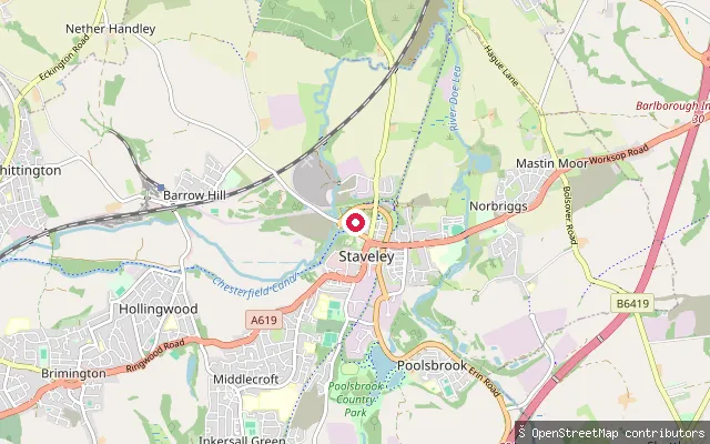
CanalStaveley Basin put-in (Chesterfield Canal)
Derbyshire, EnglandThe basin sits at the current head of navigation on the restored western end of the Chesterfield Canal, next to Staveley Town Lock in Staveley, Derbyshire.
 Canal
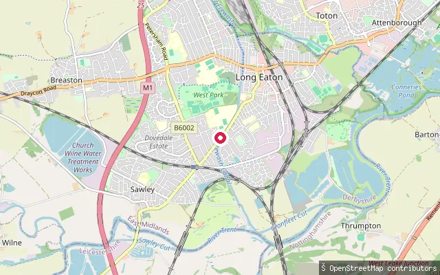
CanalLong Eaton put-in (Erewash)
Derbyshire, EnglandThis slipway sits on the Erewash Canal at Long Eaton, on the broad, lock-lined waterway built under an Act of Parliament in 1777 to carry coal out of the Erewash Valley. It runs for just under 12 miles through 14 locks, from the River Trent at Trent Lock to Langley Mill, passing through the town's moorings and used by cruisers and narrowboats along its full length.
Save your own spots
Keep the places you launch, check the wind and shelter before you go, and log every paddle. Add a spot to the directory too, and other paddlers will find it. Free to start.
Some launch spots in this directory are seeded from open data. © OpenStreetMap contributors · Open Database Licence (ODbL) · Machine-readable copy