Paddleboarding spots in Essex
38 launch spots across Essex
Many inland waterways need a licence to paddle. Check with Paddle UK before you go.
Every mapped spot in Essex
Zoom in to split a cluster; open a pin for the spotMap of every spot in Essex
The interactive map opens on any device with JavaScript. The full list of launch spots is below.
Launch spots
Showing 24 of 38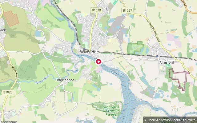 River
RiverWivenhoe put-in (Colchester)
Essex, EnglandWivenhoe sits on the River Colne where it was historically the limit of navigation for larger vessels serving Colchester, and the water here is tidal with a marked rise and fall. Wivenhoe Sailing Club operates just downstream of the town's river barrier, and a seasonal foot ferry crosses from the Ferry Hard to Rowhedge and Fingringhoe on weekends and bank holidays between April and mid-October.
 Sea
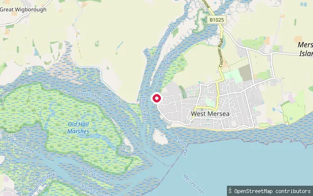
SeaPeldon put-in (Colchester)
Essex, EnglandThis slipway lies on the Blackwater Estuary shoreline near Peldon, roughly 2.5 km west of West Mersea village. OS mapping tags it as a small-craft slipway on saltmarsh and mudflat that forms part of the Blackwater Estuary SSSI.
 Sea
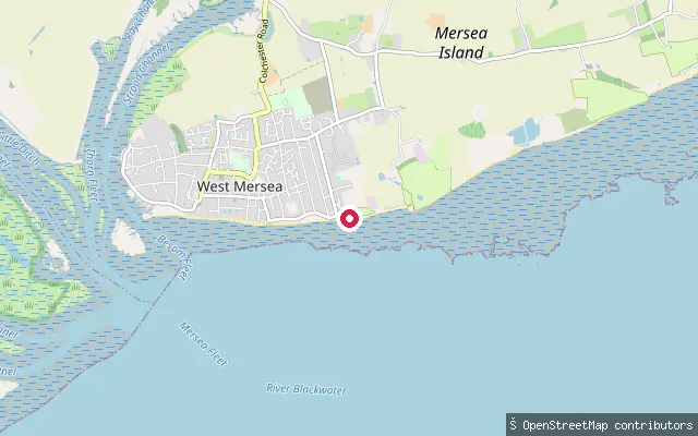
SeaWest Mersea put-in (Colchester)
Essex, EnglandThis slipway sits at West Mersea, the main village on Mersea Island, on the Blackwater Estuary. West Mersea has long been a sailing and oystering centre with an active hard used by small craft. The estuary is a large SSSI and Ramsar wetland important for wintering wildfowl.
 Lake
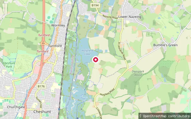
LakeHolyfield Lake slipway (Fishers Green Sailing Club)
Essex, EnglandHolyfield Lake is a gravel-pit lake of about 180 acres in the Lee Valley, roughly two miles north of Waltham Abbey, and is home to Fishers Green Sailing Club. The club describes the water as scenic sailing water with islands, used for both club sailing and racing. This OSM node marks the club's slipway on the lake.
 Sea
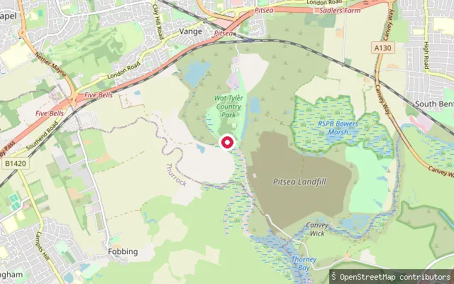
SeaVange Creek put-in, Wat Tyler Country Park
Essex, EnglandThis put-in lies within Wat Tyler Country Park, on Vange Creek, a tidal Thames Estuary creek that meets Pitsea Creek near the park's former marina south of Basildon. The creek runs through the saltmarsh and mudflat of the South Essex marshes and exposes extensive mud at low water. The Port of London Authority's Tideway Code covers paddlers on this stretch of tidal water.
 Sea
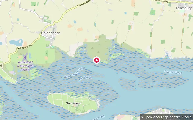
SeaTolleshunt D'Arcy put-in (Maldon)
Essex, EnglandThis point sits on the Blackwater Estuary shoreline near Tolleshunt D'Arcy, close to the RSPB's Old Hall Marshes reserve. No named creek or hard could be confirmed here, and no public boat or water access is documented at Old Hall Marshes itself, so treat the exact launch point with caution.
 Sea
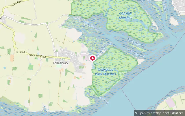
SeaTollesbury put-in (Maldon)
Essex, EnglandThis slipway serves Woodrolfe Creek, the tidal creek running past Tollesbury Marina into the Blackwater Estuary. Tollesbury sits at the mouth of the Blackwater, a village with a long oystering and sailing history, and Woodrolfe Creek remains a working sailing hub today.
 Sea
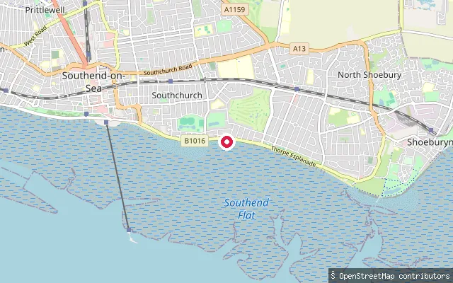
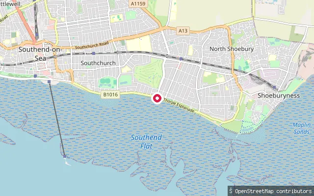
SeaSouthend seafront slipway, Thorpe Bay approach
Essex, EnglandThis slipway lies on the seafront path between central Southend and Thorpe Bay, launching onto the Thames Estuary. Local paddlers describe the Thorpe Bay stretch of the estuary as flattest around mid-tide, with the ebb pulling a stronger current out towards Shoeburyness.
 Sea
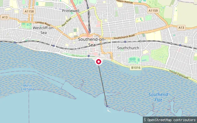
SeaThorpe Bay Yacht Club slipway
Essex, EnglandOn Thorpe Esplanade opposite Thorpe Bay Yacht Club, this is the launch point paddlers favour for Thorpe Bay, a stretch of the Thames Estuary that runs flat and shallow for long distances around two to three hours from high tide. Southerly, westerly and easterly winds make the water choppier here, while a northerly tends to keep it flat.
 Sea
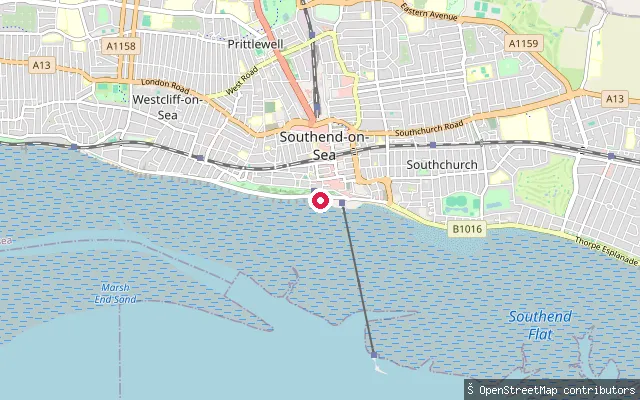
SeaMarine Parade slipway, Southend seafront
Essex, EnglandThis slipway is on Marine Parade on Southend-on-Sea's seafront, close to Adventure Island and just east of Southend Pier, and launches onto the Thames Estuary. It falls within the stretch of foreshore covered by the city council's 2022 Public Space Protection Order.
 River
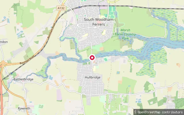
RiverSouth Woodham Ferrers put-in (Chelmsford)
Essex, EnglandThis slipway belongs to South Woodham Ferrers Yacht Club, on the tidal River Crouch near where Fenn Creek meets the river, opposite Hullbridge. It sits close to the site of a former passenger ferry that crossed between the two settlements.
 Sea
SeaWestern Esplanade slipway, Southend seafront
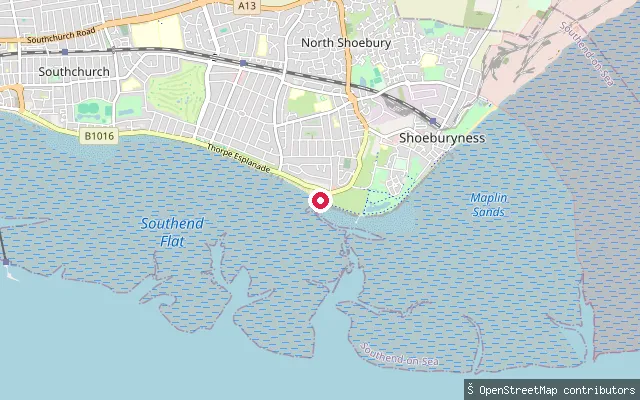
Essex, EnglandThis slipway sits on Western Esplanade, part of Southend-on-Sea's seafront promenade a short walk west of Southend Pier, and launches directly onto the Thames Estuary. A wide expanse of sand and mud is exposed here at low tide, typical of this stretch of the estuary shoreline.
 Sea
SeaShoebury Common slipway, Ness Road
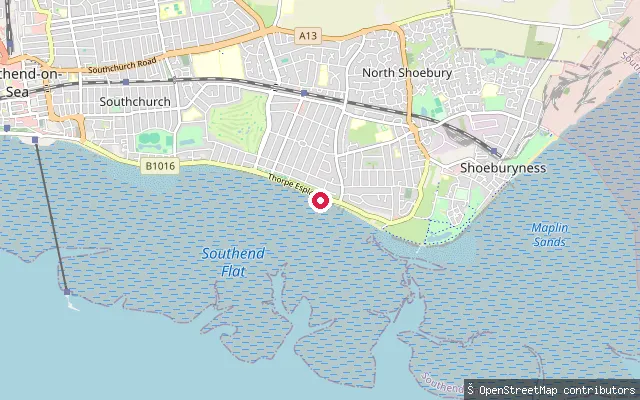
Essex, EnglandThis slipway serves Shoebury Common Beach on Ness Road, at the eastern end of Southend's seafront. Southend-on-Sea City Council's 2022 Public Space Protection Order makes it the only slipway on the Southend foreshore where personal watercraft may launch, and paddleboarders also use it as a downwind alternative to the Thorpe Bay launch.
 Sea
SeaThorpe Bay slipway, east
Essex, EnglandThis slipway sits a short distance east of Thorpe Bay Yacht Club on Thorpe Esplanade, launching onto the same flat stretch of the Thames Estuary that paddlers use around mid-tide.
 River
RiverNorth Fambridge put-in (Maldon)
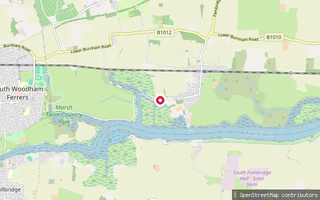
Essex, EnglandThis is a second slipway roughly 700 metres upstream of North Fambridge's village slipway, on the same tidal reach of the River Crouch near Fambridge Yacht Haven marina. The same Crouch Harbour Authority byelaws that govern the wider river apply here.
 River
RiverNorth Fambridge put-in (Maldon)
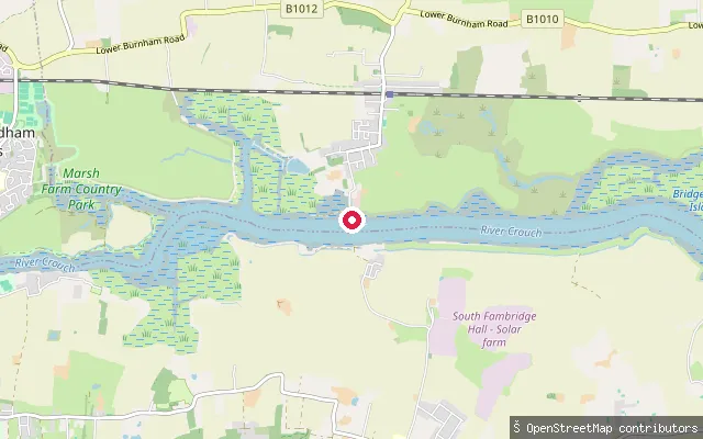
Essex, EnglandThis slipway sits on the tidal River Crouch at North Fambridge, a Dengie peninsula village with its own station on the Crouch Valley line. North Fambridge Yacht Club and the nearby Fambridge Yacht Haven marina both operate from the village. The Crouch Harbour Authority is the statutory navigation authority for the river and sets its byelaws.
 Sea
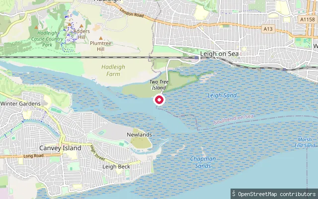
SeaTwo Tree Island slipway
Essex, EnglandThis concrete slipway at the southern end of Two Tree Island is operated by the Port of London Authority and launches onto the Thames Estuary south of Leigh-on-Sea, opposite Canvey Island. Southend-on-Sea City Council charges a launch fee for canoes and paddleboards here, and the spot is reported to work best around slack water.
 Sea
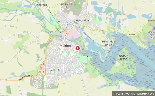
SeaHythe Quay put-in (Maldon)
Essex, EnglandThis slipway sits at Hythe Quay, Maldon's historic waterfront at the confluence of the River Chelmer and the Blackwater Estuary. The quay is home port to some of the surviving Thames sailing barges, and Cooks Yard still works as a boatbuilder at its end, so expect a working harbour with barge traffic and quayside activity.
 River
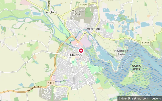
RiverChandlers Quay put-in (Fullbridge, Maldon)
Essex, EnglandThis slipway sits at Fullbridge, Maldon, on the tidal River Chelmer near Chandlers Quay Marina, upstream of where the Chelmer joins the Blackwater Estuary. The Chelmer and Blackwater Navigation continues from here towards Beeleigh Lock and on to Chelmsford, so expect tidal rise and fall rather than the still water of the canal further upstream.
 Sea
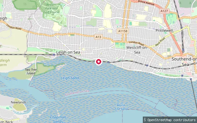
SeaBell Wharf slipway, Leigh-on-Sea
Essex, EnglandThis slipway is at Bell Wharf in Leigh-on-Sea's old town, on the northern side of the Thames Estuary next to the working cockle boats and Old Leigh marina. At low tide the foreshore here opens out into a wide expanse of mudflats and creeks reaching towards the Thames's deep-water Yantlet Channel.
 Sea
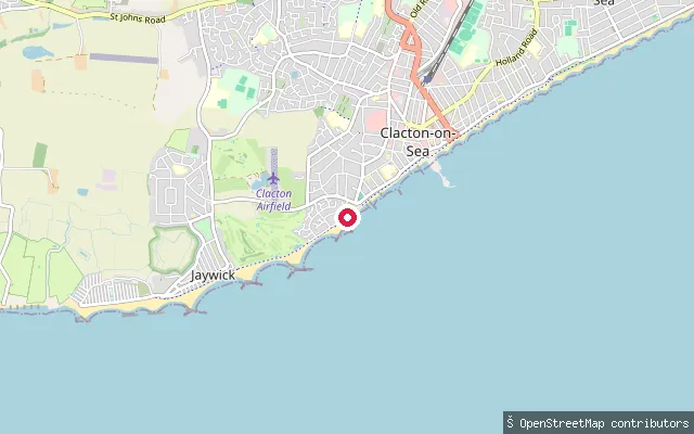
SeaJaywick put-in (Clacton-on-Sea)
Essex, EnglandThis slipway sits on Kings Promenade in Jaywick, a seaside village on the Tendring coast immediately southwest of Clacton-on-Sea, and opens directly onto the North Sea beach. Sea defence work has added dredged sand to the frontage as part of coastal protection for the village.
 River
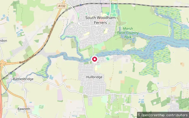
RiverHullbridge put-in (Rochford)
Essex, EnglandThis slipway is on Ferry Road in Hullbridge, on the tidal River Crouch opposite South Woodham Ferrers, close to where a passenger ferry once crossed the river between the two settlements. The parish's northern boundary is formed by the river itself.
 Sea
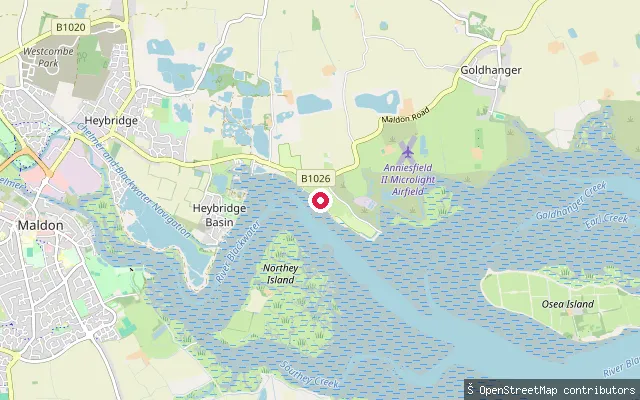
SeaHeybridge put-in (Maldon)
Essex, EnglandThis slipway sits at Heybridge Basin, where the Chelmer and Blackwater Navigation meets the tidal Blackwater Estuary through a sea lock. Essex Waterways Ltd, which operates the navigation, requires canoes, kayaks and paddleboards to hold a licence to use the canal side; the lock marks the boundary with the open, tidal estuary. Seasonal rowing boat hire and a seawall path are available in the basin.
 River
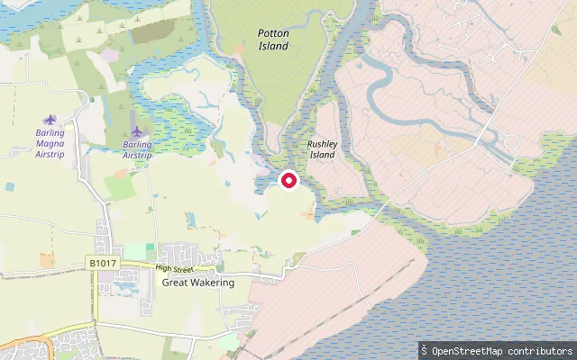
RiverGreat Wakering put-in (Rochford)
Essex, EnglandThis slipway lies on Bridge Road out of Great Wakering, near the tidal River Roach estuary system towards Potton Island. The road continues to the bridges used to reach Foulness Island, an area that includes Ministry of Defence-controlled land nearby.
Save your own spots
Keep the places you launch, check the wind and shelter before you go, and log every paddle. Add a spot to the directory too, and other paddlers will find it. Free to start.
Some launch spots in this directory are seeded from open data. © OpenStreetMap contributors · Open Database Licence (ODbL) · Machine-readable copy