Paddleboarding spots in Leicestershire
5 launch spots across Leicestershire
Many inland waterways need a licence to paddle. Check with Paddle UK before you go.
Every mapped spot in Leicestershire
Zoom in to split a cluster; open a pin for the spotMap of every spot in Leicestershire
The interactive map opens on any device with JavaScript. The full list of launch spots is below.
Launch spots
Showing 5 of 5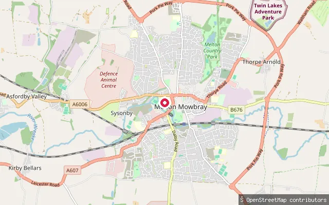 River
RiverMemorial Gardens slipway (Melton Mowbray)
Leicestershire, EnglandThe River Eye runs through Melton Mowbray's Memorial Gardens, a riverside park the Town Estate bought in 1929 as a memorial to the town's war dead, and this slipway sits beside the derelict Melton Mowbray Navigation, an 18th-century canalisation of the same river. Paddling downstream takes you under Lady Wilton Bridge and along Egerton Park before reaching Eye Kettleby Lock, the best-preserved structure on the old navigation, now cleared and maintained as a weir. Most of the navigation's other lock chambers survive but need repair, and the Melton and Oakham Waterways Society is leading restoration work along the route.
 Canal
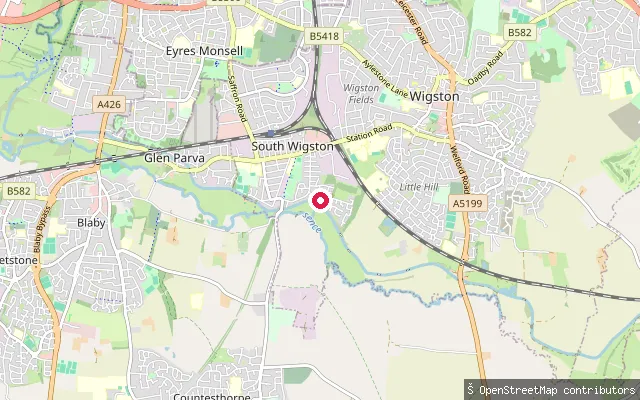
CanalSouth Wigston put-in
Leicestershire, EnglandThis slipway sits beside the Grand Union Canal's Leicester Line at South Wigston, on the southern outskirts of Leicester. The River Sence also runs nearby, but the canal is the closest named waterway to the marked launch point.
 Canal
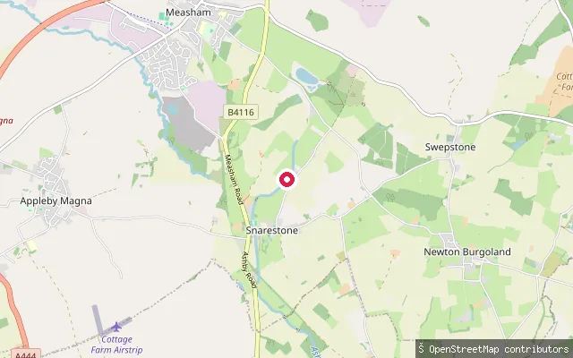
CanalSnarestone Wharf put-in
Leicestershire, EnglandSnarestone Wharf sits at the current head of navigation on the Ashby Canal, which runs twenty-two miles south from here to Marston Junction. The short Snarestone Tunnel carries the canal beneath the village just south of the wharf, and restoration work continues to push the navigable line north from the wharf toward Measham.
 River
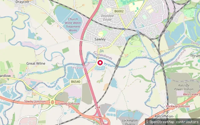
RiverSawley Marina Slipway
Leicestershire, EnglandThis slipway launches onto Sawley Cut, a canalised, non-tidal reach of the River Trent Navigation dug around 1796 to bypass Sawley Weir. Sawley Waterside & Marina opens directly off the cut, and the Canal and River Trust manages this stretch of the Trent from Shardlow to Gainsborough Bridge.
 Canal
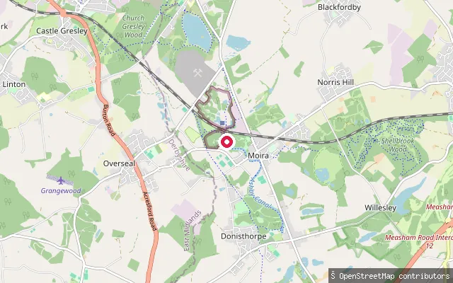
CanalBath Yard Basin put-in (Moira)
Leicestershire, EnglandBath Yard Basin is the head of a short, isolated length of the Ashby Canal at Moira in North West Leicestershire, opposite the Conkers National Forest visitor centre. OpenStreetMap marks a slipway on the basin, which forms the terminus of the length restored between Donisthorpe and Moira and reopened in 2001, with a new lock built at Moira.
Save your own spots
Keep the places you launch, check the wind and shelter before you go, and log every paddle. Add a spot to the directory too, and other paddlers will find it. Free to start.
Some launch spots in this directory are seeded from open data. © OpenStreetMap contributors · Open Database Licence (ODbL) · Machine-readable copy