Paddleboarding spots in Nottinghamshire
13 launch spots across Nottinghamshire
This weekend’s calmest picks in Nottinghamshire
See the ranked launch spots for the best conditions this weekend
Many inland waterways need a licence to paddle. Check with Paddle UK before you go.
Every mapped spot in Nottinghamshire
Zoom in to split a cluster; open a pin for the spotMap of every spot in Nottinghamshire
The interactive map opens on any device with JavaScript. The full list of launch spots is below.
Launch spots
Showing 13 of 13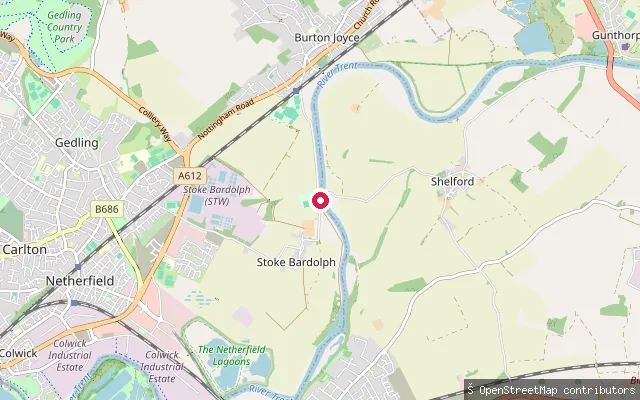 River
RiverStoke Bardolph put-in (Gedling)
Nottinghamshire, EnglandThis slipway reaches the River Trent at Stoke Bardolph, a small riverside settlement in Gedling that once ran a ferry crossing to Shelford, remembered today by the Ferry Boat Inn on the bank. Here the Trent is a broad, fast-flowing, non-tidal river, managed by Canal & River Trust as part of its Shardlow-to-Gainsborough navigation.
 River
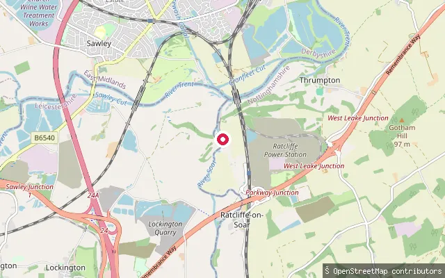
RiverRedhill Marina put-in (Ratcliffe on Soar)
Nottinghamshire, EnglandThis slipway serves Redhill Marina at Ratcliffe on Soar, on the River Soar just above its confluence with the River Trent at Trent Lock. The village sits on the floodplain here, and the marina is prone to flooding when the rivers rise.
 River
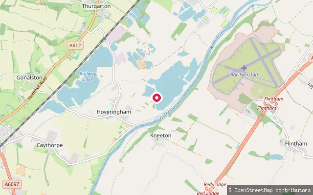
RiverNCSC Boat Park slipway, ramp 3 (Hoveringham)
Nottinghamshire, EnglandThis is a third slipway at the Nottingham Canoe Sports Club boat park on the River Trent at Hoveringham, close to another club slipway. Canal & River Trust manages this stretch as part of its Shardlow-to-Gainsborough navigation, so a Trust or Paddle UK waterways licence is required.
 River
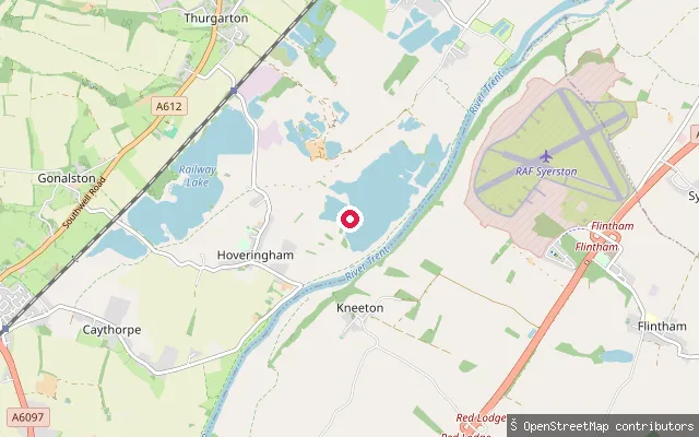
RiverNCSC Boat Park slipway, ramp 2 (Hoveringham)
Nottinghamshire, EnglandThis is a second slipway at the Nottingham Canoe Sports Club boat park on the River Trent at Hoveringham, about 44 metres from another club slipway. Canal & River Trust manages this stretch as part of its Shardlow-to-Gainsborough navigation, so a Trust or Paddle UK waterways licence is required.
 Lake
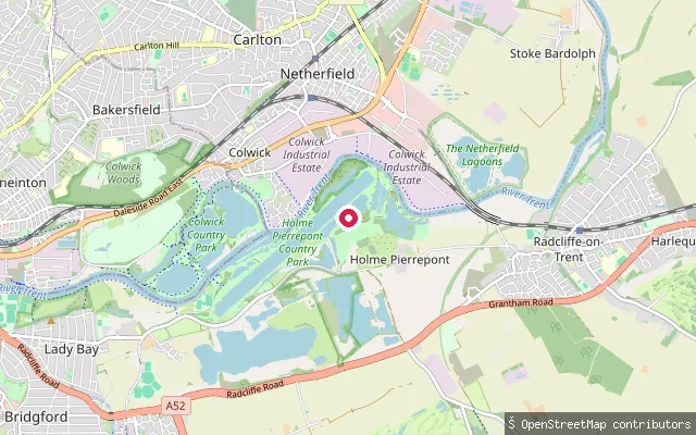
LakeRegatta Lake put-in (Holme Pierrepont)
Nottinghamshire, EnglandThis put-in serves the 2000-metre Regatta Lake at Holme Pierrepont's National Water Sports Centre rather than the adjoining River Trent. The lake is used for rowing and canoe and kayak training and for organised open water swimming sessions, and the wider country park also includes a white water slalom course.
 River
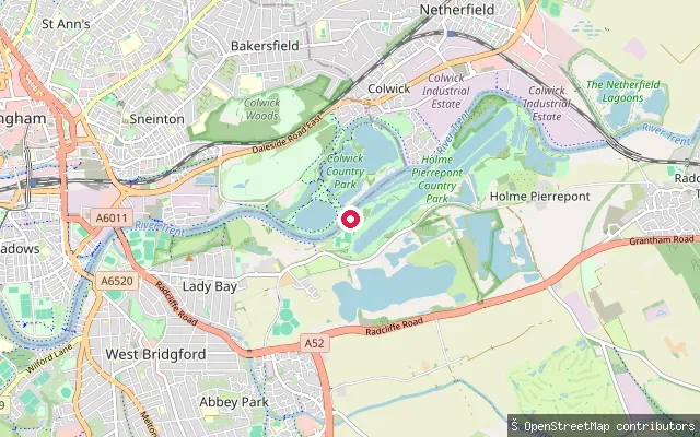
RiverColwick Park riverside put-in
Nottinghamshire, EnglandThis put-in reaches the River Trent at the edge of Colwick Country Park, near where a fish ladder at Colwick Sluices lets migratory fish bypass the weir. Canal & River Trust manages this stretch of the Trent, so a Trust or Paddle UK waterways licence applies.
 River
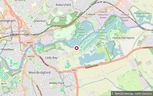
RiverColwick Sluices put-in
Nottinghamshire, EnglandThis put-in reaches the River Trent on the southern side of Colwick Country Park, close to Colwick Sluices where Britain's largest fish ladder lets migratory fish bypass the weir. Canal & River Trust manages this stretch of the Trent Navigation between Shardlow and Gainsborough.
 River
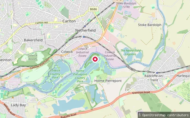
RiverHolme Lock put-in (Holme Pierrepont)
Nottinghamshire, EnglandThis slipway reaches the River Trent within Holme Pierrepont Country Park, close to Holme Lock on the Trent Navigation between Nottingham and Newark. Canal & River Trust manages this stretch of river, so a Trust or Paddle UK waterways licence is required.
 River
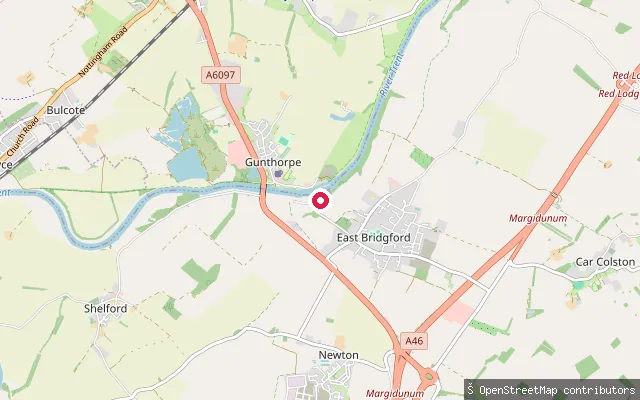
RiverTrent Lane put-in (Gunthorpe)
Nottinghamshire, EnglandThis put-in sits on Trent Lane in Gunthorpe, where a marina and mobile home park stand on the River Trent's left bank. Gunthorpe Lock, built in 1922-25, and its weir form part of the six-lock system on the Trent Navigation between Nottingham and Newark, which Canal & River Trust manages.
 Canal
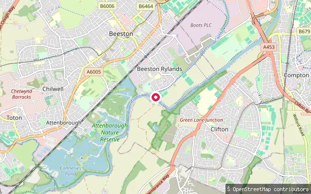
CanalBeeston Canal put-in (Beeston Rylands)
Nottinghamshire, EnglandThis slipway sits on the Beeston Canal, also called Beeston Cut, an artificial waterway completed by 1802 to bypass a difficult stretch of the River Trent through Nottingham. It runs from Lenton to Beeston Lock, where it rejoins the Trent, and the Canal and River Trust manages it today.
 River
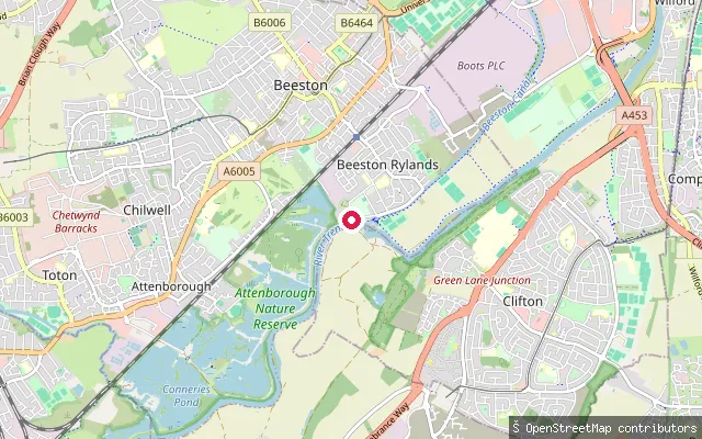
RiverBeeston Marina put-in (Beeston Rylands)
Nottinghamshire, EnglandThis slipway lies on the River Trent at Beeston Rylands, on the edge of Beeston Marina, a few miles upstream of Nottingham city centre. Beeston Rylands sits on the floodplain immediately south of the Trent, and flood defences have reduced but not removed the flood risk there.
 River
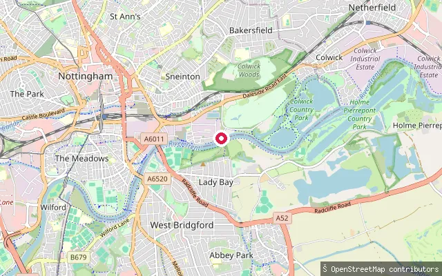
RiverTrent Bridge put-in (Nottingham)
Nottinghamshire, EnglandA put-in on the River Trent's north bank in Nottingham, within the Trent Basin riverside development, close to the Nottingham Sea Cadets unit T.S. Orion and a little upstream of Holme Pierrepont's National Water Sports Centre.
 Lake
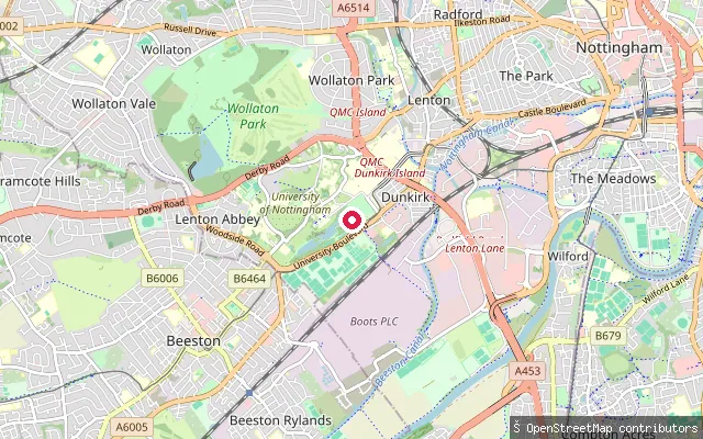
LakeHighfields Lake put-in (Dunkirk, Nottingham)
Nottinghamshire, EnglandHighfields Lake is the boating lake in Highfields Park, Dunkirk, Nottingham, formed from the Tottle Brook and enlarged into its present shape by Jesse Boot around 1920 to 1926; the engineering firm W.H. Radford and Sons built both the lake and the adjoining University Boulevard.
Save your own spots
Keep the places you launch, check the wind and shelter before you go, and log every paddle. Add a spot to the directory too, and other paddlers will find it. Free to start.
Some launch spots in this directory are seeded from open data. © OpenStreetMap contributors · Open Database Licence (ODbL) · Machine-readable copy