Paddleboarding spots in West Sussex
40 launch spots across West Sussex
Many inland waterways need a licence to paddle. Check with Paddle UK before you go.
Every mapped spot in West Sussex
Zoom in to split a cluster; open a pin for the spotMap of every spot in West Sussex
The interactive map opens on any device with JavaScript. The full list of launch spots is below.
Launch spots
Showing 24 of 40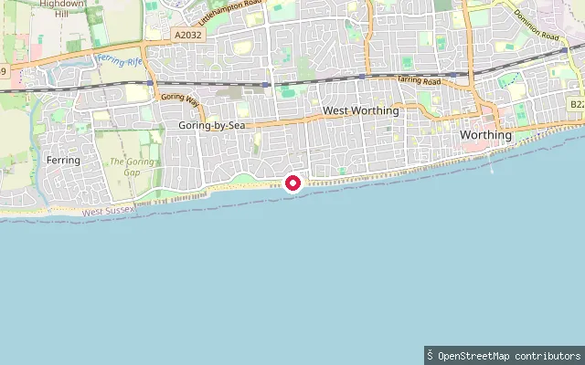 Sea
SeaYacht Club Slipway
West Sussex, EnglandThis slipway is on Marine Crescent on the Worthing seafront, close to the boundary between West Worthing and Goring-by-Sea, and launches onto the English Channel. OpenStreetMap names it only as a yacht club slipway, without recording which club.
 Sea
SeaWest Itchenor put-in (Chichester)
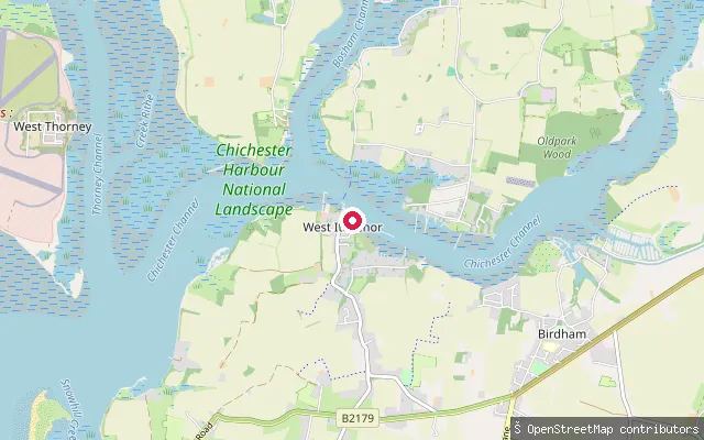
West Sussex, EnglandA slipway on the West Itchenor foreshore on Itchenor Reach, part of the tidal Chichester Channel within Chichester Harbour. Chichester Harbour Conservancy is the statutory harbour authority and asks harbour users to follow its navigation byelaws.
 River
RiverUpper Beeding put-in
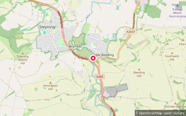
West Sussex, EnglandThis put-in sits on the River Adur at Upper Beeding, on the eastern bank opposite Bramber, at the northern end of the Adur Gap through the South Downs. The river carries a common law right of navigation up to Shermanbury well upstream, and tidal influence reaches this far, with nearby Beeding Bridge having limited headroom on spring tides.
 Sea
SeaThe Hard (Dell Quay)
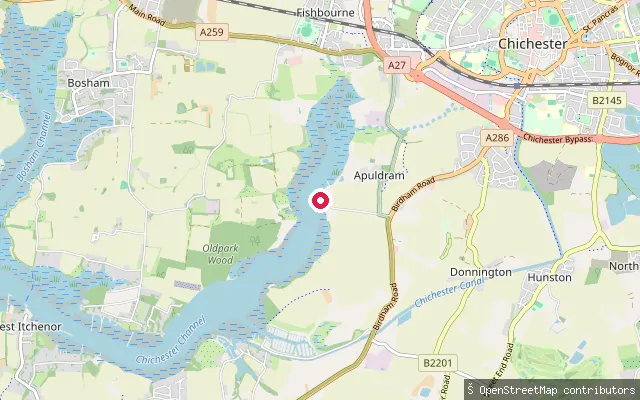
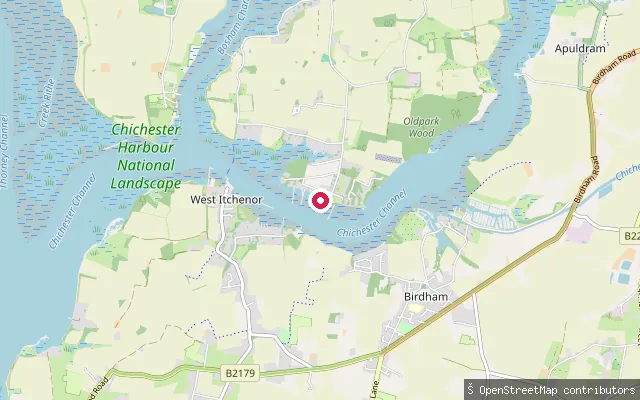
West Sussex, EnglandThe Hard is a gravel slipway on the Chichester Channel at Dell Quay, a historic quay near Apuldram on the southern edge of Chichester. The Chichester Harbour Conservancy lists Dell Quay as a high-tide-only launch point with limited parking, and paddle craft on the harbour pay annual harbour dues.
 Sea
SeaSmugglers Lane slipway (Bosham Hoe)
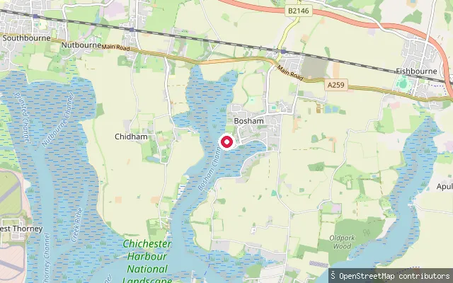
West Sussex, EnglandThis slipway is at Bosham Hoe, the farmland and private property at the southern tip of the Bosham peninsula, launching onto the Chichester Channel opposite Itchenor. Paddle craft here fall under the Conservancy's harbour dues and its wildlife-aware watersports guidance, which asks paddlers to keep 50 m from sensitive roosting and breeding sites.
 Sea
SeaSouthwood Farm put-in (Chichester)
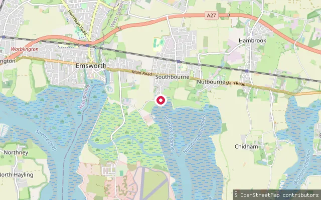
West Sussex, EnglandThis slipway near Broadbridge, on the edge of Bosham, gives access to Bosham Channel, one of the tidal arms of Chichester Harbour. A second, disused slipway recorded on OpenStreetMap lies about 300 metres south at the same farm.
 Sea
SeaPublic Slipway
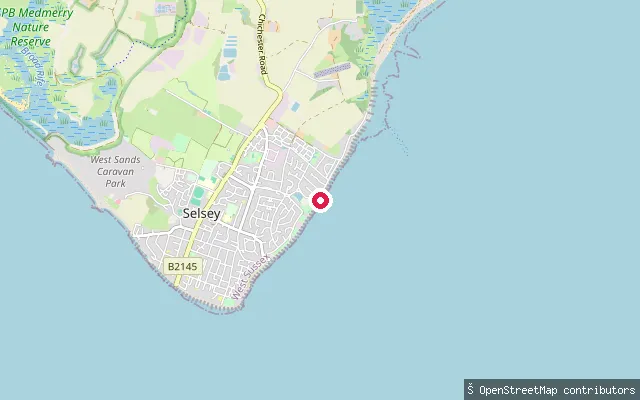
West Sussex, EnglandThis slipway on Prinsted Lane in Southbourne opens onto Chichester Harbour, a large tidal natural harbour and nature reserve on the West Sussex coast. Chichester Harbour Conservancy, the statutory harbour authority, publishes byelaws covering navigation and separate guidance for paddle sports.
 Sea
SeaEast Beach slipway, Selsey
West Sussex, EnglandA wooden boat ramp on East Beach Road gives access to the open English Channel on the east side of Selsey Bill. East Beach lies on the Manhood Peninsula and includes a designated geological Site of Special Scientific Interest along its shore.
 River
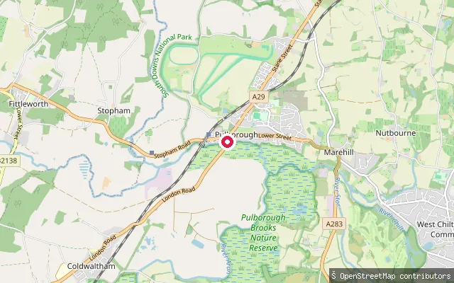
RiverOld Place put-in (Horsham)
West Sussex, EnglandThis concrete slipway sits on the River Arun near Pulborough, in a stretch that is tidal as far upstream as Pallingham Quay, roughly 25 miles from the sea. No formal navigation authority manages the river above Arundel Bridge, some way downstream of this point.
 River
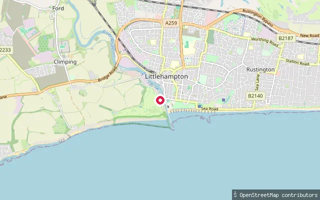
RiverLittlehampton put-in (Arun)
West Sussex, EnglandThis slipway is on The Promenade near the mouth of the River Arun in Littlehampton. The Littlehampton Harbour Board holds navigation authority over this stretch of the tidal Arun and charges tolls for its use between the harbour mouth and Arundel Bridge.
 River
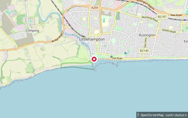
RiverLittlehampton put-in (Arun)
West Sussex, EnglandThis slipway is on The Promenade at the mouth of the River Arun in Littlehampton, where the river meets the English Channel. The Arun is tidal along this stretch, and the Littlehampton Harbour Board holds navigation authority and charges tolls for use of the river between the harbour mouth and Arundel Bridge.
 River
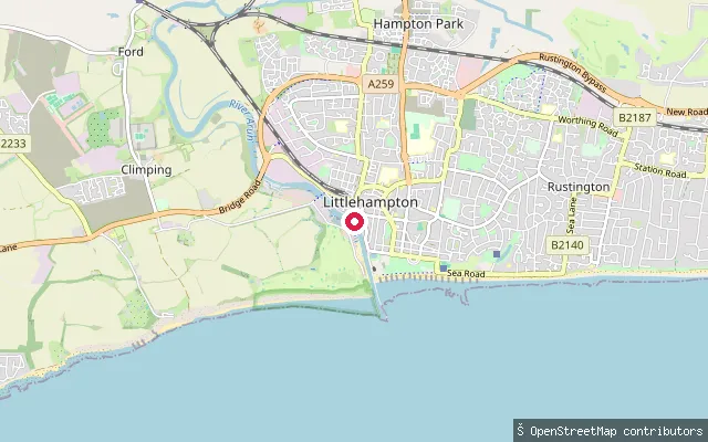
RiverLittlehampton put-in (Arun)
West Sussex, EnglandThis slipway is on Riverside Walk beside the River Arun in Littlehampton, close to the harbour mouth. OpenStreetMap records it as a small-craft facility on the nautical chart, and the Littlehampton Harbour Board holds navigation authority and charges tolls over this stretch of the river.
 Sea
SeaLittle High Street Hard
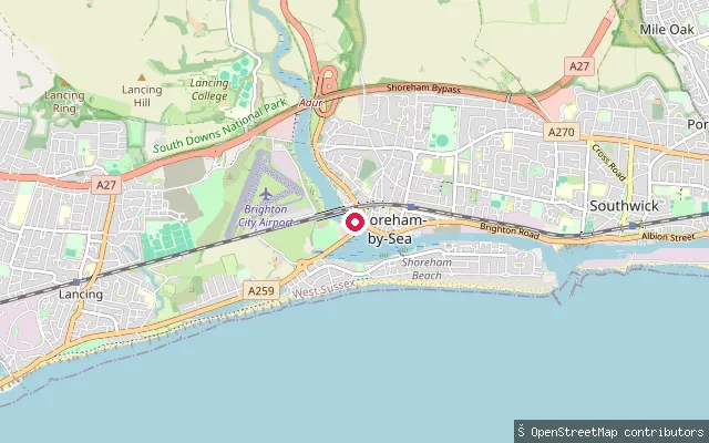
West Sussex, EnglandLittle High Street Hard is a firm foreshore landing on the tidal River Adur at Shoreham-by-Sea, on the reach that falls within Shoreham Harbour below Old Shoreham Bridge. A second slipway is mapped about 15 metres away and may be the same access point recorded twice.
 River
RiverLancing put-in (Adur)
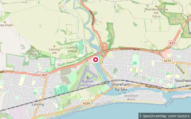
West Sussex, EnglandThis slipway sits on the tidal River Adur at Lancing, about 90 metres south of another mapped slipway attributed to the adjoining Ricardo site. It carries no name tag of its own in OpenStreetMap.
 Sea
SeaKingston Buci put-in (Adur)
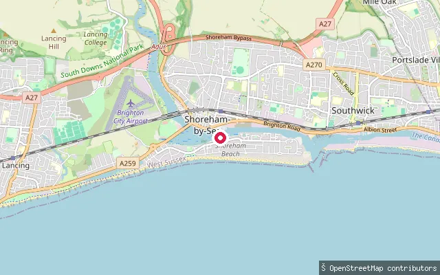
West Sussex, EnglandThis slipway lies on the tidal River Adur at Shoreham-by-Sea, on the reach administered as Shoreham Harbour below Old Shoreham Bridge. OpenStreetMap catalogues it among the land use and highway features around Shoreham, with no further identifying detail.
 Sea
SeaKingston Buci put-in (Adur)
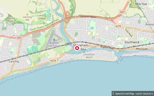
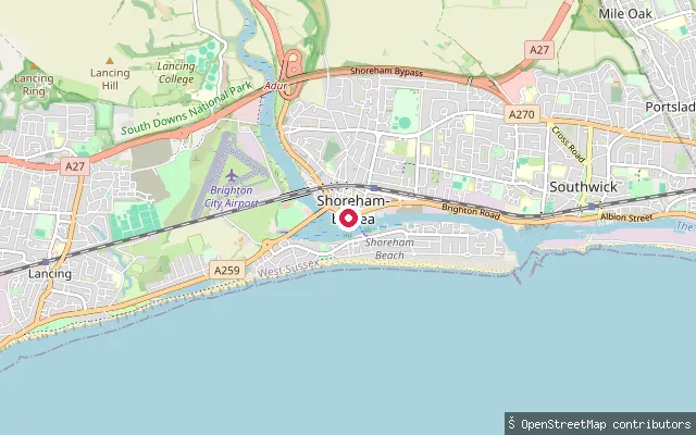
West Sussex, EnglandThis slipway lies on the tidal River Adur at Shoreham-by-Sea, on the reach administered as Shoreham Harbour below Old Shoreham Bridge. The completed England Coast Path route between Shoreham and Eastbourne crosses the site as a restricted byway open to walkers, cyclists and horse riders.
 Sea
SeaKingston Buci put-in (Adur)
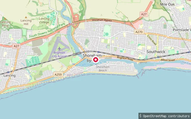
West Sussex, EnglandThis slipway lies on the tidal River Adur at Shoreham-by-Sea, on the reach administered as Shoreham Harbour below Old Shoreham Bridge. No further identifying detail beyond the OpenStreetMap slipway tag was found for this specific point.
 Sea
SeaKingston Buci put-in (Adur)
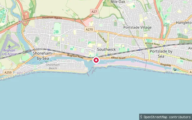
West Sussex, EnglandThis slipway lies on the tidal River Adur at Shoreham-by-Sea, on the reach administered as Shoreham Harbour below Old Shoreham Bridge. No further identifying detail beyond the OpenStreetMap slipway tag was found for this specific point.
 Sea
SeaKingston Buci harbour-entrance slipway
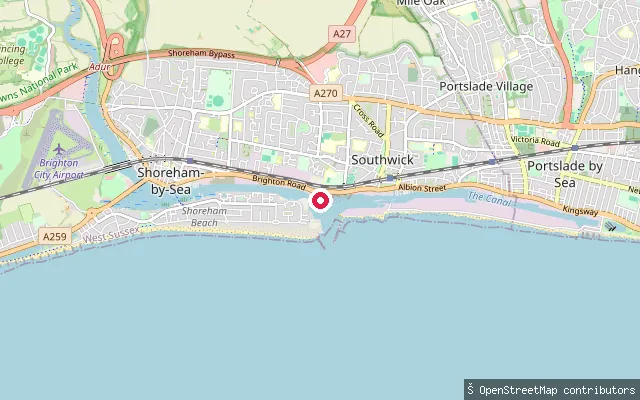
West Sussex, EnglandThis unnamed slipway lies on the tidal Shoreham Harbour channel near the harbour entrance, in the Kingston Buci area of Shoreham-by-Sea, West Sussex, roughly 260 metres east of the Shoreham Harbour Life Boat Station slips.
 Sea
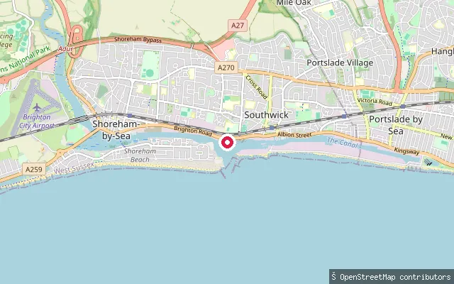
SeaShoreham Harbour Lifeboat Station slipway
West Sussex, EnglandThis slipway sits beside Shoreham Harbour Life Boat Station at Kingston Buci, on the tidal Shoreham Harbour channel near the mouth of the River Adur in Shoreham-by-Sea. The surrounding harbour is a working port under the statutory authority of Shoreham Port.
 Sea
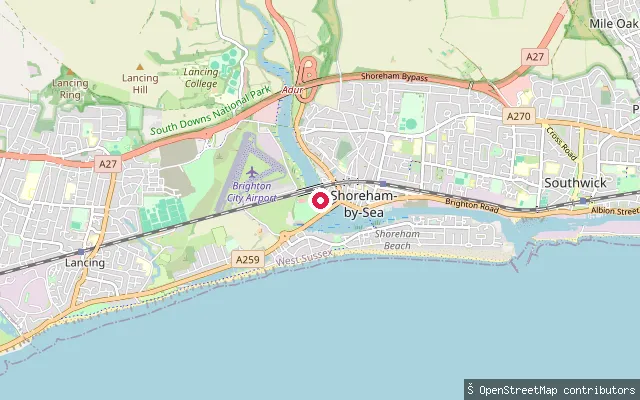
SeaKingston Buci slipway
West Sussex, EnglandThis is an unnamed slipway on the tidal Shoreham Harbour channel in the Kingston Buci area of Shoreham-by-Sea, close to Shoreham Harbour Life Boat Station, near the mouth of the River Adur, West Sussex.
 Sea
SeaKingston Buci put-in (Adur)
West Sussex, EnglandThis slipway lies on the east bank of the tidal River Adur at Kingston Buci, a historic hamlet within Shoreham-by-Sea that was briefly a port itself when the river mouth shifted eastwards in the 13th century. From Old Shoreham Bridge down to the sea the river falls under Shoreham Port's harbour office. A near-identical slipway is mapped about 53 metres away.
 Sea
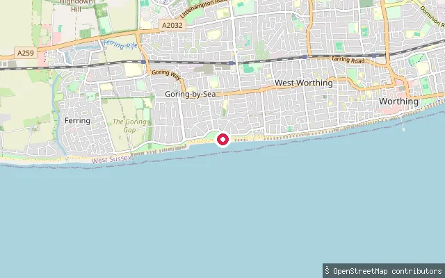
SeaGoring Green Slipway
West Sussex, EnglandThis slipway is on Marine Crescent in Goring-by-Sea and gives access to the English Channel. Wikipedia describes the local beach as a mixed pebble and sand shore that is used for watersports including kitesurfing.
 Sea
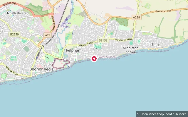
SeaFelpham put-in (Arun)
West Sussex, EnglandThis slipway lies at the eastern end of Felpham's seafront near Strand Way, close to the boundary with Middleton-on-Sea, and gives access to the open English Channel. Felpham's beachfront also has a sailing club founded in 1955, a short distance along the same stretch of coast.
Save your own spots
Keep the places you launch, check the wind and shelter before you go, and log every paddle. Add a spot to the directory too, and other paddlers will find it. Free to start.
Some launch spots in this directory are seeded from open data. © OpenStreetMap contributors · Open Database Licence (ODbL) · Machine-readable copy