Paddleboarding spots in West Sussex
40 launch spots across West Sussex
Many inland waterways need a licence to paddle. Check with Paddle UK before you go.
Every mapped spot in West Sussex
Zoom in to split a cluster; open a pin for the spotMap of every spot in West Sussex
The interactive map opens on any device with JavaScript. The full list of launch spots is below.
Launch spots
Showing 16 of 40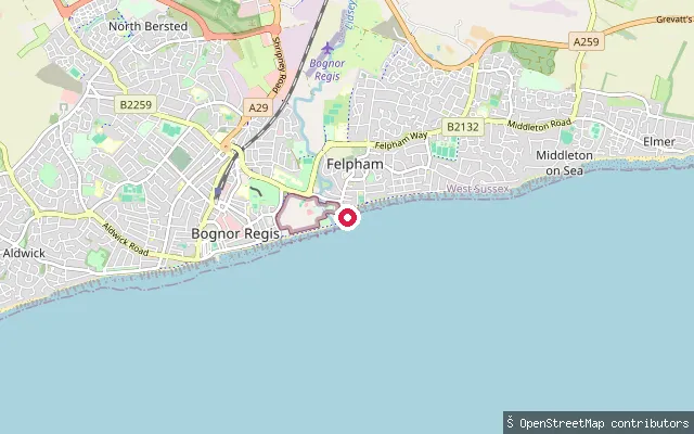 Sea
SeaFelpham put-in (Arun)
West Sussex, EnglandThis asphalt slipway driveway near Outram Road is one of several mapped along the Felpham seafront, giving access to the open water of the English Channel. OpenStreetMap notes the stretch as part of the mapped England Coast Path between Bognor Regis and Elmer.
 Sea
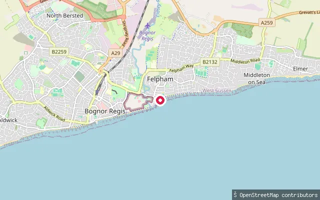
SeaFelpham put-in (Arun)
West Sussex, EnglandA second asphalt slipway driveway lies a short distance along the same stretch of Felpham seafront, again giving access to the open English Channel. A 2016 OpenStreetMap survey mapped several such slipway breaks along this seafront together.
 Sea
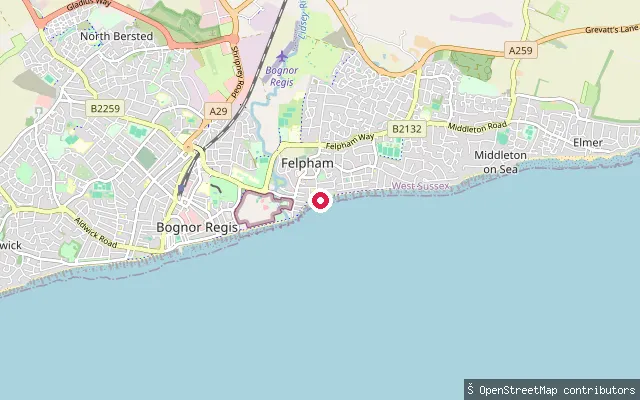
SeaFelpham put-in (Arun)
West Sussex, EnglandThis asphalt slipway sits on the Felpham seafront, giving access to the open English Channel. It was surveyed in the same 2016 OpenStreetMap pass that mapped several other slipway breaks along this stretch of coast.
 Sea
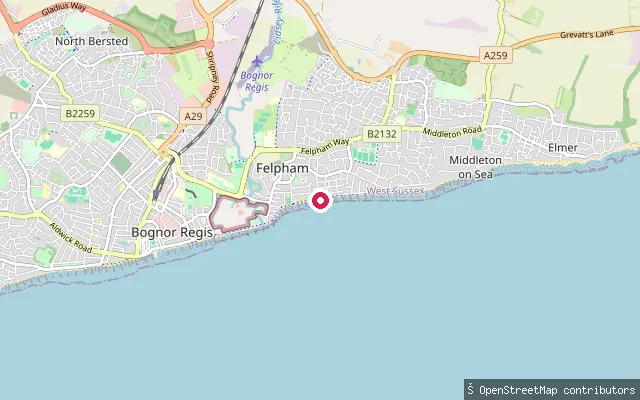
SeaFelpham put-in (Arun)
West Sussex, EnglandFurther east along the Felpham seafront, this asphalt driveway slipway gives another access point onto the open English Channel. It connects onto Axton Road and was mapped in the same 2016 survey of the area's slipways.
 Sea
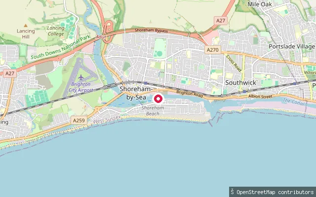
SeaEmerald Quay slipway
West Sussex, EnglandEmerald Quay slipway is a boat launch on Shoreham Beach, on the tidal Shoreham Harbour channel at the mouth of the River Adur in Shoreham-by-Sea, West Sussex. Shoreham Port, the statutory harbour authority for the harbour since 1760, oversees the surrounding commercial and leisure waters.
 Sea
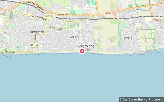
SeaEast Preston beach put-in
West Sussex, EnglandThis slipway is on the seafront at East Preston, roughly halfway between Littlehampton and Worthing, and launches onto the English Channel. An unnamed sailing club area sits immediately alongside the beach here, according to OpenStreetMap.
 Canal
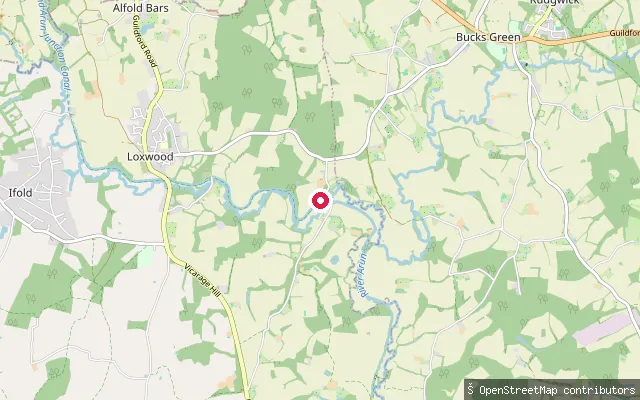
CanalDrungewick Slipway
West Sussex, EnglandDrungewick Slipway gives access to the Wey and Arun Canal near Loxwood, on a stretch between Southland Lock and Drungewick Lock that volunteers have restored and reopened to navigation. The canal here is an artificial cut, not currently connected to the national Canal and River Trust network.
 Sea
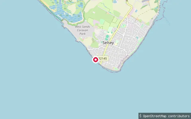
SeaWarner Road slipway, Selsey
West Sussex, EnglandA concrete slipway off Warner Road, west of Selsey Bill, gives access to Bracklesham Bay, which runs west from the Bill towards West Wittering. The bay's foreshore is described as shingle, salt marsh, reed beds and ditches, with the Medmerry RSPB reserve inland along the same coast.
 Open water
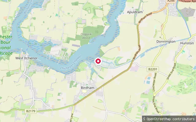
Chichester Marina slipway (Birdham)
West Sussex, EnglandThis slipway lies inside Chichester Marina, a locked boat marina at Birdham on the west side of Chichester Harbour. The marina occupies a former tide millpond and is reached through a sea lock, so its water stays at a constant level rather than following the tide. Paddle craft using the wider harbour beyond the marina pay the Conservancy's annual harbour dues.
 River
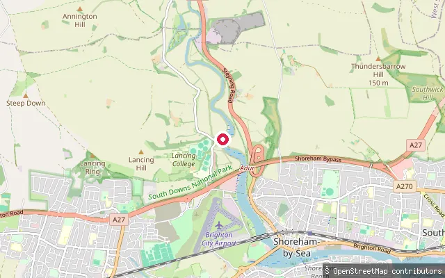
RiverCoombes put-in (Adur)
West Sussex, EnglandThis slipway sits on the west bank of the tidal River Adur near Coombes, about two miles upstream of Shoreham-by-Sea. OpenStreetMap labels the site after the former Shoreham Cement Works, which once stood on this stretch of bank. The river here is tidal, with common law navigation rights recognised upstream as far as Shermanbury on its eastern branch.
 Sea
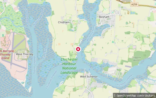
SeaCobnor Point slipway
West Sussex, EnglandThis slipway sits at the northern end of the same Cobnor Point shoreline on the Chidham peninsula, on Bosham Channel, the sheltered inlet inside Chichester Harbour that leads up to Bosham.
 Sea
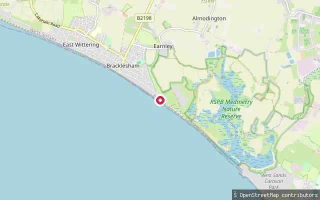
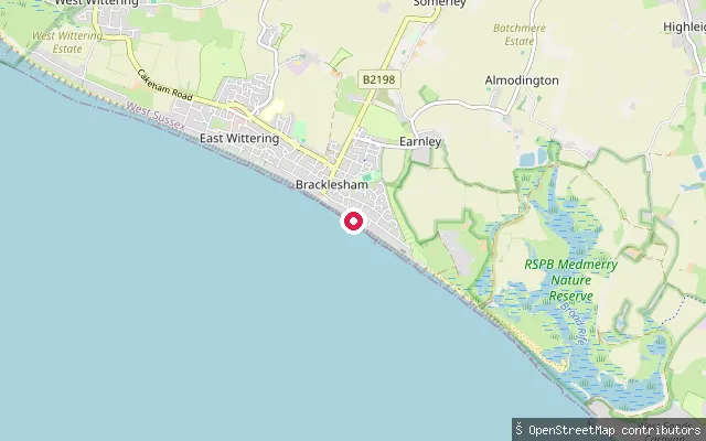
SeaBracklesham Caravan and Boat Club slipway
West Sussex, EnglandThis slipway serves the Bracklesham Caravan and Boat Club on the open coast at Bracklesham, close to the England Coast Path. The concrete access road down to the water carries no toll, and the shore here fronts Bracklesham Bay on the West Sussex coast.
 Sea
SeaMarineside slipway (Bracklesham)
West Sussex, EnglandThis slipway lies on Marineside in Bracklesham, on the open coast facing Bracklesham Bay and the English Channel between Selsey and West Wittering. OpenStreetMap records it as a slipway with no access restriction tag.
 Sea
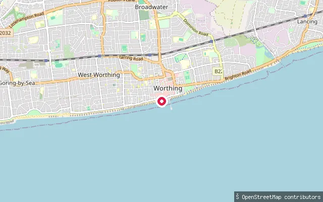
SeaMarine Parade slipway (Worthing)
West Sussex, EnglandThis slipway is on Marine Parade in West Worthing and gives access to the English Channel from the town's seafront. The launch point takes its water from the open coast, not from Broadwater, which is an inland Worthing suburb well north of here.
 Sea
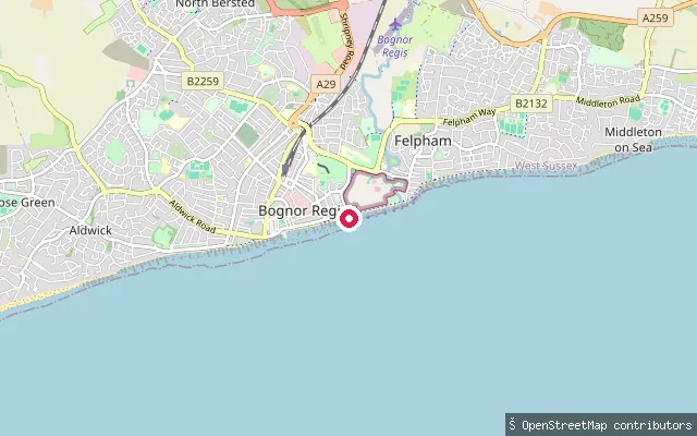
SeaBognor Regis put-in (Arun)
West Sussex, EnglandA slipway on the Esplanade at Bognor Regis gives access to the open water of the English Channel. OpenStreetMap records it as an unlit asphalt driveway down to the beach, more suited to carrying a board than towing a trailer.
 Lake
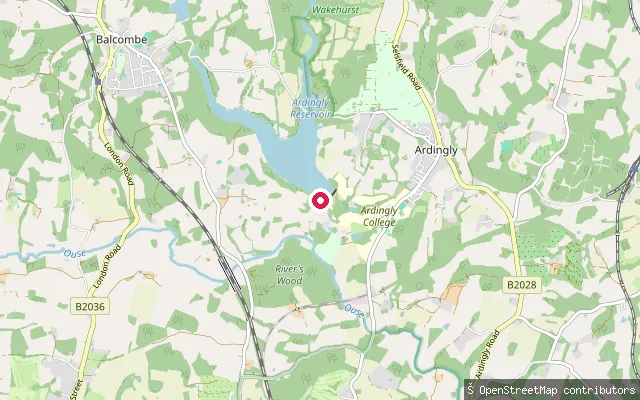
LakeArdingly put-in (Mid Sussex)
West Sussex, EnglandArdingly Reservoir is a 74.5-hectare drinking-water reservoir west of Ardingly village, created in 1979 and owned by South East Water. The on-site Ardingly Activity Centre runs paddleboarding, kayaking and sailing sessions, while the west bank belongs to the Balcombe Estate and the other banks carry public rights of way and bridleways.
Save your own spots
Keep the places you launch, check the wind and shelter before you go, and log every paddle. Add a spot to the directory too, and other paddlers will find it. Free to start.
Some launch spots in this directory are seeded from open data. © OpenStreetMap contributors · Open Database Licence (ODbL) · Machine-readable copy