Paddleboarding spots in Cornwall
121 launch spots across Cornwall
This weekend’s calmest picks in Cornwall
See the ranked launch spots for the best conditions this weekend
Many inland waterways need a licence to paddle. Check with Paddle UK before you go.
Every mapped spot in Cornwall
Zoom in to split a cluster; open a pin for the spotMap of every spot in Cornwall
The interactive map opens on any device with JavaScript. The full list of launch spots is below.
Launch spots
Showing 24 of 121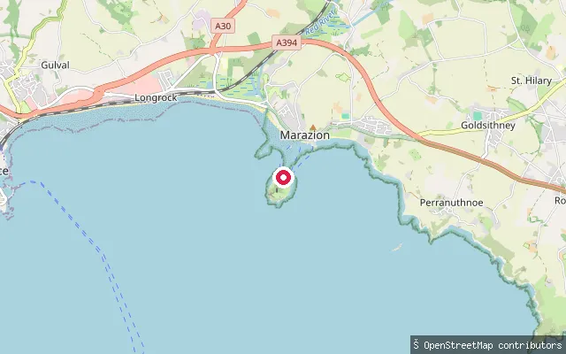 Sea
SeaSt. Michael's Mount put-in (Marazion)
Cornwall, EnglandA second slipway on Marazion's seafront on Mount's Bay, around 150 metres from the other Marazion put-in, facing St Michael's Mount.
 Sea
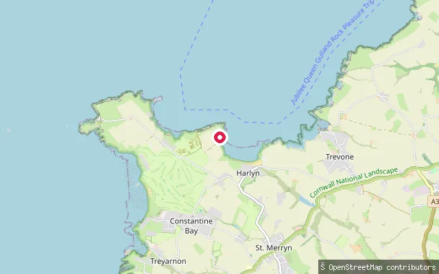
SeaSt. Merryn put-in
Cornwall, EnglandThis slipway is a public footpath access point down to Harlyn Bay, a sandy beach near St Merryn on Cornwall's north Atlantic coast, popular with families and novice surfers. The coast path links it onward to Mother Ivey's Bay, Trevone and Constantine Bay.
 Sea
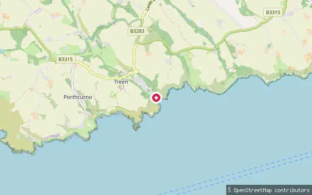
SeaPenberth Cove slipway
Cornwall, EnglandPenberth Cove is a small working fishing cove on Cornwall's south coast, reached by a granite cobblestone slipway topped with a historic capstan winch. Parking is limited to a car park partway down the approach road rather than at the cove itself, and there is no lifeguard cover.
 Sea
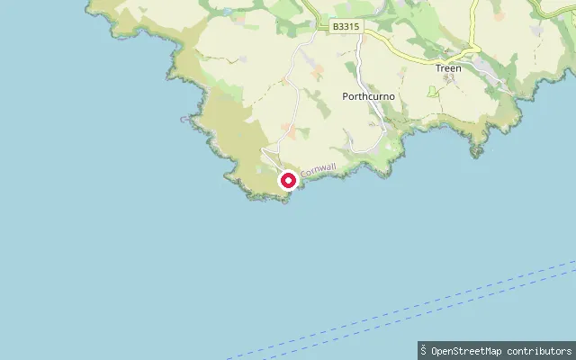
SeaPorthgwarra slipway
Cornwall, EnglandPorthgwarra is a small, privately owned cove on the far west Cornwall coast between Land's End and Porthcurno, with a slipway and winch historically used by local fishing boats and two tunnels cut by tin miners and fishermen for beach access.
 Sea
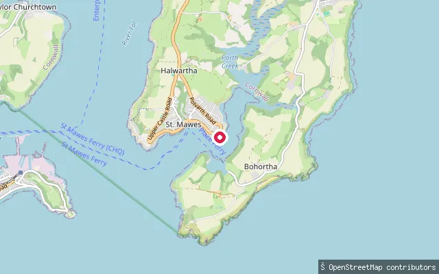
SeaSt. Just-in-Roseland put-in (Halwartha)
Cornwall, EnglandA put-in on the Carrick Roads shore east of St Mawes village, on Cornwall's Roseland Peninsula. This stretch lies within the southern part of Carrick Roads, the tidal anchorage where the Percuil River meets the mouth of the Fal Estuary.
 Sea
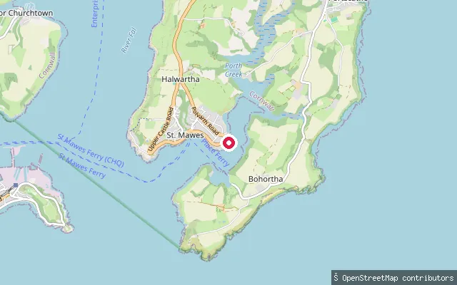
SeaSt. Just-in-Roseland put-in (Halwartha)
Cornwall, EnglandA put-in on the Carrick Roads shore east of St Mawes village, on Cornwall's Roseland Peninsula. This stretch lies within the southern part of Carrick Roads, the tidal anchorage where the Percuil River meets the mouth of the Fal Estuary.
 Sea
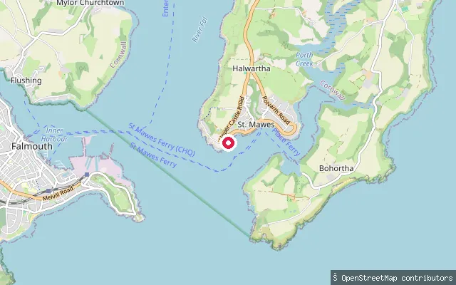
SeaSt. Just-in-Roseland put-in (Halwartha)
Cornwall, EnglandA slipway on the Carrick Roads shore at Halwartha, on the western edge of St Mawes on Cornwall's Roseland Peninsula. Carrick Roads is the tidal anchorage at the mouth of the Fal Estuary, and this stretch falls within Falmouth Harbour Commissioners' jurisdiction over the southern Carrick Roads.
 Sea
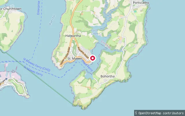
SeaSt. Just-in-Roseland put-in (Halwartha)
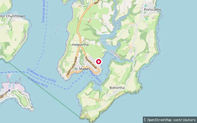
Cornwall, EnglandA put-in on the Carrick Roads shore east of St Mawes village, on Cornwall's Roseland Peninsula. This stretch lies within the southern part of Carrick Roads, the tidal anchorage where the Percuil River meets the mouth of the Fal Estuary.
 Sea
SeaSt. Just-in-Roseland put-in (Halwartha)
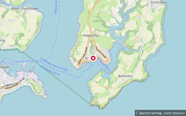
Cornwall, EnglandA put-in on the Carrick Roads shore east of St Mawes village, on Cornwall's Roseland Peninsula. This stretch lies within the southern part of Carrick Roads, the tidal anchorage where the Percuil River meets the mouth of the Fal Estuary.
 Sea
SeaSt. Just-in-Roseland put-in (Halwartha)
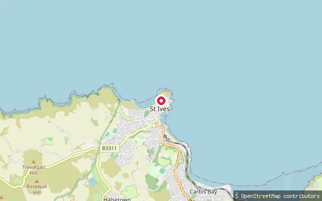
Cornwall, EnglandA launch point on the Carrick Roads shore close to St Mawes village centre and its ferry terminal, on Cornwall's Roseland Peninsula. St Mawes fronts Carrick Roads, the tidal anchorage at the mouth of the Fal Estuary, close to where the Percuil River joins it.
 Sea
SeaPorthmeor Beach slipway
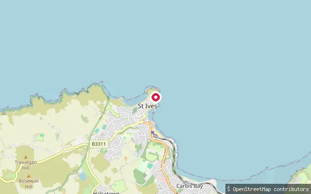
Cornwall, EnglandA slipway onto Porthmeor Beach, St Ives' north-facing surf beach, which opens directly onto the Celtic Sea rather than the sheltered St Ives Bay. It is the town's main surfing beach, more exposed to swell than the harbour beaches.
 Sea
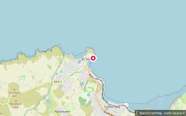
SeaSt Ives Island slipway
Cornwall, EnglandA slipway near the Island headland at St Ives, opening onto St Ives Bay rather than into the enclosed harbour basin. St Ives Bay is a crescent-shaped Atlantic bay running from St Ives to Godrevy Head.
 Sea
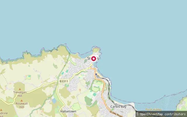
SeaSt Ives Harbour slipway (quay)
Cornwall, EnglandA concrete service slipway on the quay side of St Ives Harbour, on the western shore of St Ives Bay. The harbour is a working port, still used for fishing and recreational boat trips, and dries substantially at low tide.
 Sea
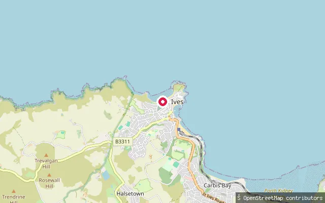
SeaSt Ives Harbour slipway
Cornwall, EnglandA concrete slipway into St Ives Harbour, the working harbour on the western shore of St Ives Bay, protected by Smeaton's Pier. The harbour dries out substantially at low tide, so launch timing depends on the state of the tide.
 Sea
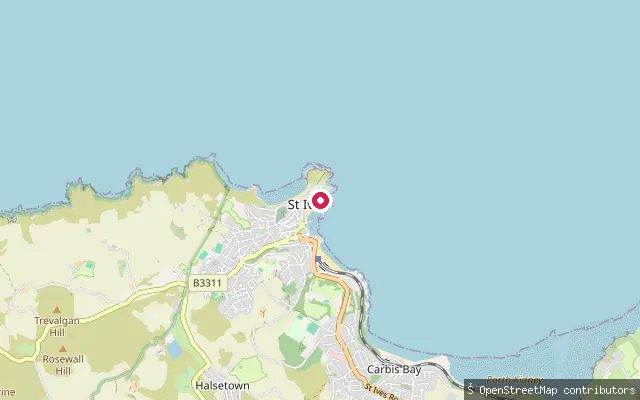
SeaPorthmeor Beach slipway (west)
Cornwall, EnglandA slipway at the western end of Porthmeor Beach, on the South West Coast Path, opening onto the Celtic Sea on St Ives' more exposed, surf-facing side of town.
 Sea
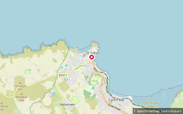
SeaHarbour Beach slipway
Cornwall, EnglandThis slipway leads onto Harbour Beach, the strip of sand beside St Ives' working quay, inside St Ives Harbour on the western shore of St Ives Bay. It is beside the working port, so it shares space with fishing boats and harbour traffic.
 Sea
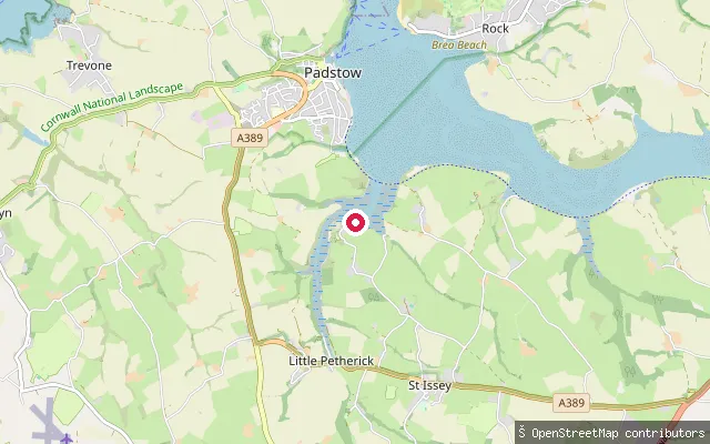
SeaSt Ives Harbour slipway (south)
Cornwall, EnglandThis slipway sits at the southern edge of St Ives Harbour on Cornwall's north coast, within St Ives Bay. St Ives is a working harbour sheltered by Smeaton's Pier and the Island headland, with the sand largely uncovered at low tide. The original harvested name repeated the town name, so it has been renamed to describe the actual slipway.
 Sea
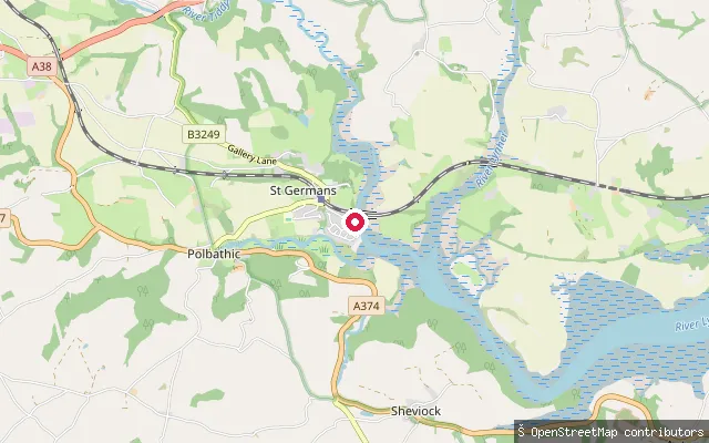
SeaSt. Issey put-in
Cornwall, EnglandThis slipway is at Sea Mills, on Little Petherick Creek, a tidal arm of the Camel Estuary that runs past Little Petherick village within St Issey parish. The remains of a historic tide mill stand at Sea Mills, evidence that the creek is tidal at this point.
 River
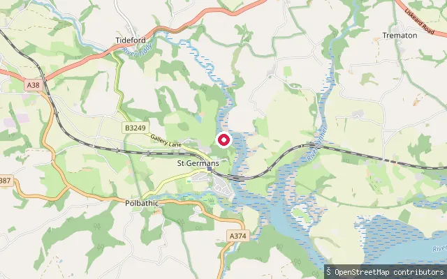
RiverSt Germans Quay slipway
Cornwall, EnglandSt Germans Quay sits on the St Germans River, the tidal lower reach of the River Lynher below its confluence with the River Tiddy. The Quay Sailing Club operates from here, and the Queen's Harbour Master for Plymouth manages navigation on this stretch.
 River
RiverSt Germans put-in
Cornwall, EnglandSt Germans River is the tidal reach of the River Lynher below its confluence with the Tiddy, close to St Germans village. From here the river winds down past St Germans Quay and Ince Point to the deep pool of Dandy Hole before joining the Tamar at the Hamoaze. The Queen's Harbour Master for Plymouth manages navigation on this stretch of the estuary, which lies within the Tamar Valley Area of Outstanding Natural Beauty.
 Lake
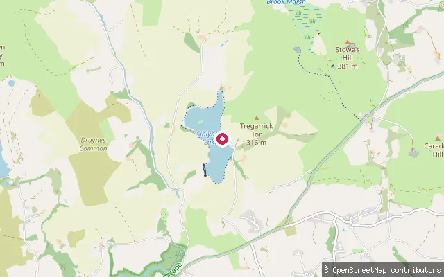
LakeSiblyback Lake slipway
Cornwall, EnglandSiblyback Lake is a reservoir on the edge of Bodmin Moor near St Cleer, built in 1968 across a tributary of the River Fowey and managed by South West Lakes Trust, which runs a watersports centre on site. OSM marks this slipway's access as permissive rather than public right of access.
 Sea
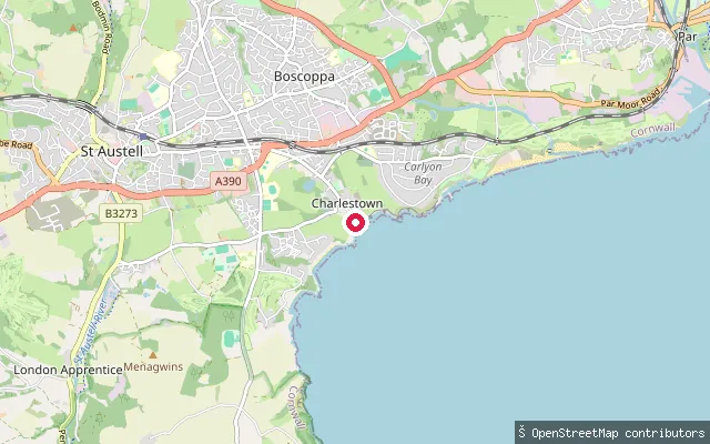
SeaSt. Austell Bay put-in (Charlestown)
Cornwall, EnglandCharlestown is a small Georgian-era harbour on St Austell Bay in south Cornwall, built between 1791 and 1799 by Charles Rashleigh to a design by John Smeaton. This slipway sits at Charlestown Dock, which has been privately operated by the tall-ship company Square Sail since 1994 and is entered through tidal gates that only open around high water.
 Sea
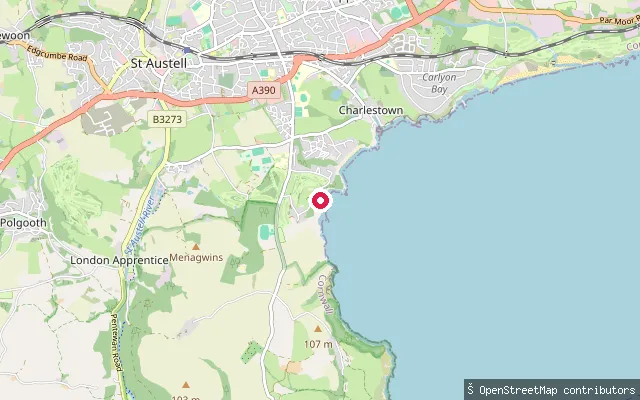
SeaPorthpean slipway
Cornwall, EnglandPorthpean is a small beach on St Austell Bay, about a kilometre south of Charlestown. This slipway carries a public footpath designation and forms part of the South West Coast Path's Mevagissey-to-Par section.
 Sea
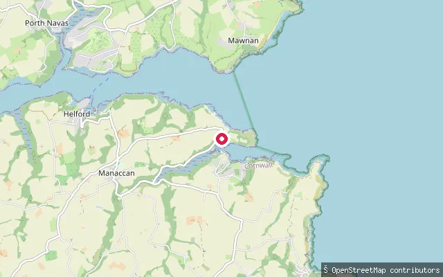
SeaSt Anthony slipway (Gillan Creek)
Cornwall, EnglandThis slipway sits on Gillan Creek at St Anthony-in-Meneage, a hamlet on a peninsula between the creek and the Helford River. OpenStreetMap records the slipway as fee-paying.
Save your own spots
Keep the places you launch, check the wind and shelter before you go, and log every paddle. Add a spot to the directory too, and other paddlers will find it. Free to start.
Some launch spots in this directory are seeded from open data. © OpenStreetMap contributors · Open Database Licence (ODbL) · Machine-readable copy