Paddleboarding spots in Cornwall
55 launch spots across Cornwall
Explore our top picks in Cornwall
Browse the launch spots on this weekend’s page
Many inland waterways need a licence to paddle. Check with Paddle UK before you go.
Every mapped spot in Cornwall
Zoom in to split a cluster; open a pin for the spotMap of every spot in Cornwall
The interactive map opens on any device with JavaScript. The full list of launch spots is below.
Launch spots
Showing 24 of 55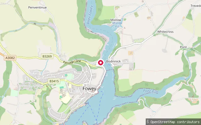 Sea
Caffa Mill slipway (Fowey)
Cornwall, EnglandCaffa Mill sits on the west bank of the Fowey estuary, a drowned river valley of mudflats, saltmarsh and wooded creeks, most of it within an Area of Outstanding Natural Beauty.
 Sea
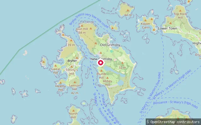
Old Seaplane Slip, New Grimsby
Cornwall, EnglandThe Old Seaplane Slip launches from New Grimsby on Tresco into the Tresco Channel, the tidal strait separating Tresco from Bryher. Sandflats in the channel are exposed at low tide, and on some low tides it is possible to walk between Bryher and Tresco; a high-tide landing pier also serves New Grimsby.
 Sea
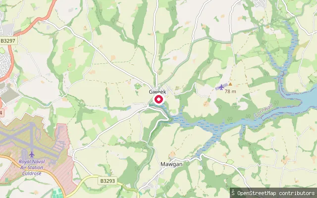
Gweek Quay slipway
Cornwall, EnglandGweek stands at the head of navigation on the tidal Helford River in west Cornwall and has served as a port since Roman times. This slipway is part of Gweek Quay Boatyard, on the river's upper tidal reach.
 Lake
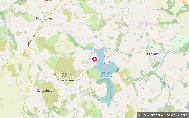
Stithians Reservoir slipway
Cornwall, EnglandThis slipway is on Stithians Reservoir, a South West Water reservoir about a mile west of Stithians village covering roughly 1.1 square kilometres. South West Lakes Trust manages watersports there and requires a permit for paddleboarding.
 River
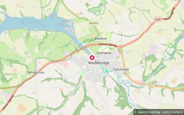
Wadebridge put-in
Cornwall, EnglandThis slipway launches onto the River Camel at Wadebridge, beside the Camel Trail off Eddystone Road. The river is tidal here, and Wadebridge was historically the highest point on the Camel that vessels could reach.
 Sea
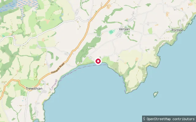
Carne Beach slipway
Cornwall, EnglandCarne Beach forms the eastern end of a broad, south-facing bay on Cornwall's Roseland Peninsula, in Veryan parish. The National Trust owns and manages the beach and its slipway, and at low tide the sand joins neighbouring Pendower Beach to the west to form one continuous stretch over a mile long.
 River
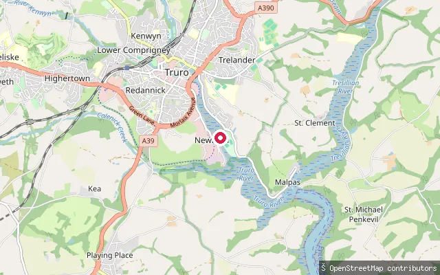
Boscawen Park slipway
Cornwall, EnglandBoscawen Park lies on the east bank of the tidal Truro River just below Truro. The slipway there falls inside the Port of Truro.
 Sea
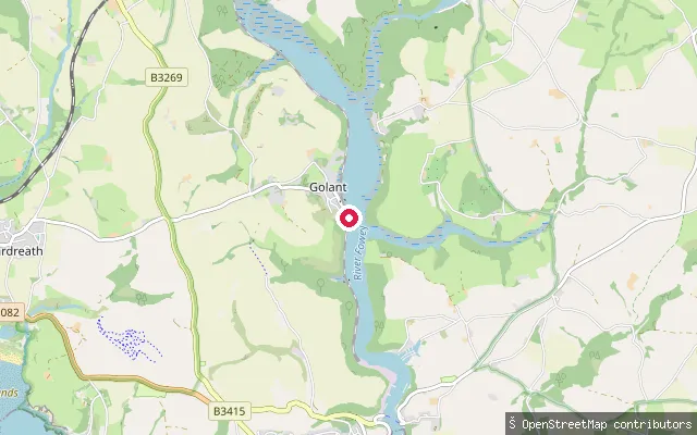
Golant slip
Cornwall, EnglandThis slipway is at Golant, a village on the west bank of the Fowey Estuary about two miles upstream from Fowey, within the ecclesiastical and civil parish of St Sampson.
 Sea
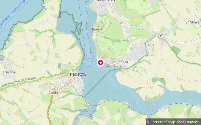
St. Minver Lowlands put-in (Rock)
Cornwall, EnglandThis slipway is on Rock Road in Rock, on the east bank of the tidal Camel Estuary opposite Padstow. Rock is a centre for sailing and other marine leisure on the estuary, and the slipway is charted as a small-craft facility.
 Sea
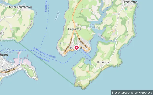
St Mawes Quay slipway
Cornwall, EnglandA slipway on The Quay in the centre of St Mawes, on Cornwall's Roseland Peninsula, beside the pier where the Falmouth passenger ferry lands. It sits at the mouth of the Percuil River, between Castle Point and Carricknath Point.
 Sea
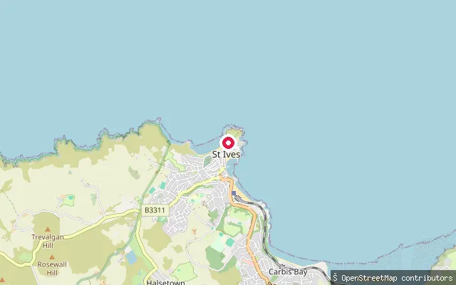
Porthmeor Beach slipway
Cornwall, EnglandA slipway at the Island end of Porthmeor Beach in St Ives, opening onto the Celtic Sea. Porthmeor faces the open sea, unlike the bay-facing Porthminster.
 Sea
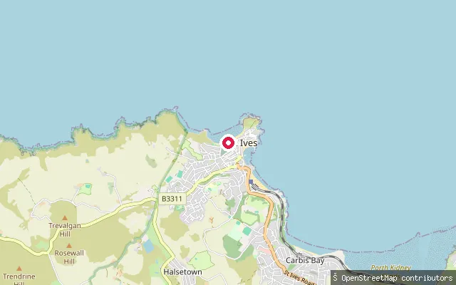
Porthmeor Beach slipway (west)
Cornwall, EnglandA slipway on Porthmeor Beach in St Ives, near Tate St Ives, opening onto the Celtic Sea.
 River
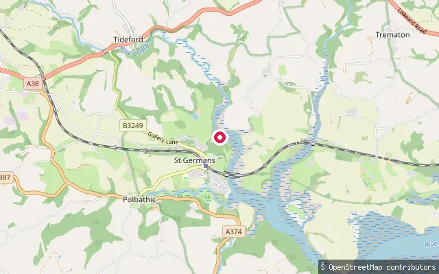
St Germans put-in
Cornwall, EnglandSt Germans River is the tidal reach of the River Lynher below its confluence with the Tiddy, close to St Germans village. From here the river winds down past St Germans Quay and Ince Point to the deep pool of Dandy Hole before joining the Tamar at the Hamoaze. The Queen's Harbour Master for Plymouth manages navigation on this stretch of the estuary, which lies within the Tamar Valley Area of Outstanding Natural Beauty.
 Lake
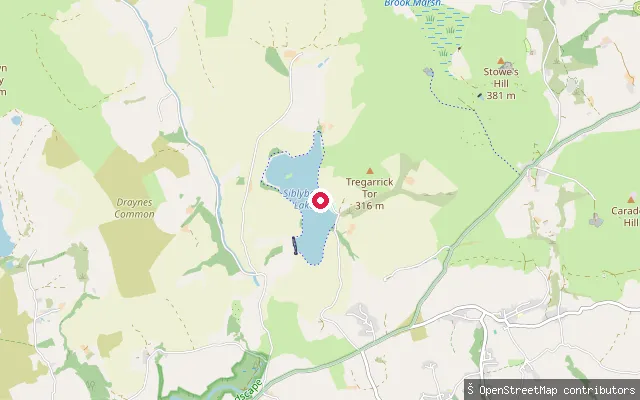
Siblyback Lake slipway
Cornwall, EnglandSiblyback Lake is a 57-hectare reservoir on the south-eastern edge of Bodmin Moor near St Cleer, formed by a dam across a tributary of the River Fowey. South West Water owns it. South West Lakes Trust manages it and runs the activity centre beside this slipway.
 Sea
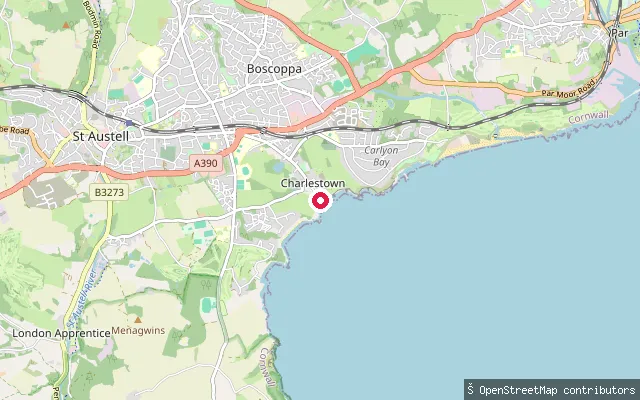
St. Austell Bay put-in (Charlestown)
Cornwall, EnglandCharlestown is a Georgian harbour on the north-west shore of St Austell Bay in south Cornwall. This slipway is mapped at Charlestown Dock, where a tidal outer basin and an inner dock sit either side of a lock gate. The harbour is privately owned, Grade II* listed and part of the Cornwall and West Devon Mining Landscape World Heritage Site.
 Sea
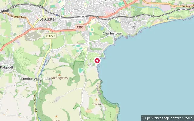
Porthpean slipway
Cornwall, EnglandPorthpean is a small sandy beach in the westernmost corner of St Austell Bay on Cornwall's south coast, with a sailing club on the shore above it.
 Sea
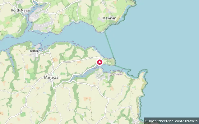
St Anthony slipway (Gillan Creek)
Cornwall, EnglandThis slipway sits on the north shore of Gillan Creek at St Anthony-in-Meneage, a hamlet on a peninsula between the creek and the Helford River. The creek opens between Nare Point and Dennis Head, and the 44-metre hump of Dennis Head shows for many miles.
 Sea
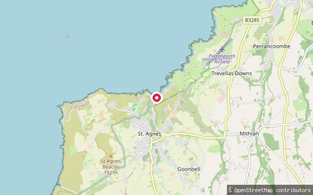
Trevaunance Cove slipway
Cornwall, EnglandTrevaunance Cove is the small sandy beach and former harbour of St Agnes on Cornwall's north coast. A harbour built here in 1798 exported copper ore until its wall collapsed in a storm in 1915-16, and the cove is now a lifeguarded beach designated a Site of Special Scientific Interest for its exposed mineral-bearing rock.
 River
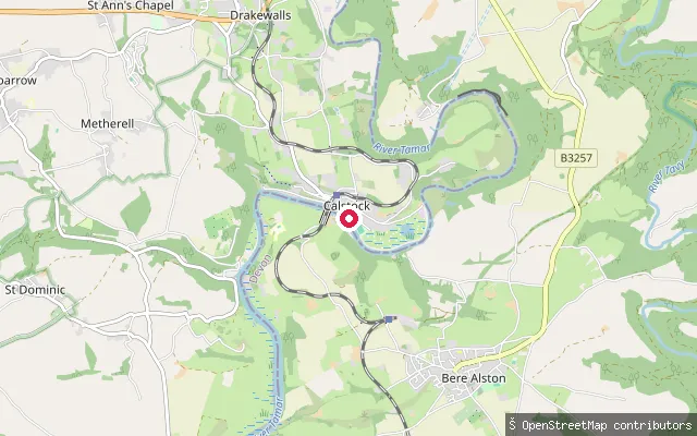
Calstock slipway
Cornwall, EnglandThis slipway is on Commercial Road in Calstock, on the tidal River Tamar below the village's Victorian railway viaduct. Calstock was a working quay for market-garden and mineral traffic in the 19th century, and a seasonal passenger ferry now links Cotehele Quay with the village.
 River
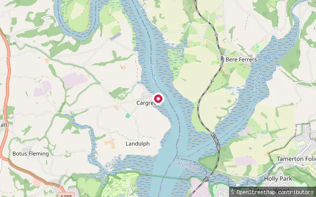
Sammy Sands
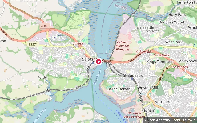
Cornwall, EnglandCargreen sits on the Cornish bank of the tidal River Tamar, about two miles north of Saltash, within the Tamar Valley National Landscape. The river's low-water channel marks the Devon-Cornwall boundary, so the far bank is Devon.
 River
Saltash put-in
Cornwall, EnglandA slipway on Old Ferry Road at Waterside in Saltash, on the Cornish bank of the tidal River Tamar downstream of the Tamar and Royal Albert bridges. Jubilee Green Slipway lies about 250 m to the north-north-west.
 Sea
St Just Creek slipway (St Just in Roseland)
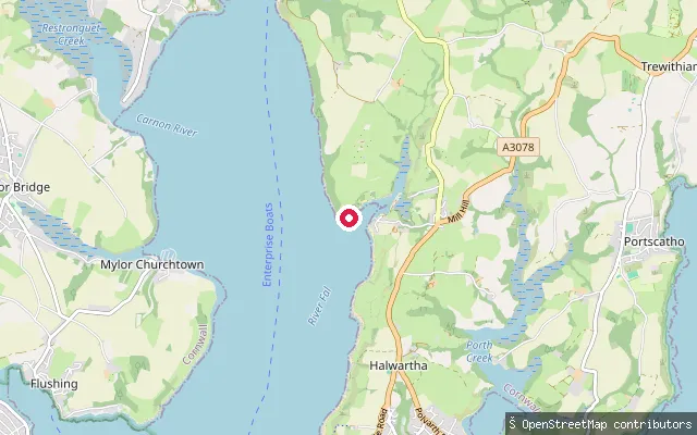
Cornwall, EnglandSaint Just Creek is a short tidal inlet on the eastern shore of Carrick Roads, part of the Fal Estuary, which together with Falmouth forms the third largest natural harbour in the world. The creek's innermost basin, St Just Pool, sits at St Just in Roseland's parish church, with the slipway launching onto the water at the foot of the churchyard.
 Sea
Rescassa put-in (St. Just-in-Roseland)
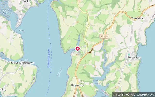
Cornwall, EnglandA put-in on St Just Pool, a tidal creek off Carrick Roads beside St Just in Roseland's 12th-century church on Cornwall's Roseland Peninsula. St Just Pool is a Site of Special Scientific Interest, and a nearby boatyard offers a slipway and launching facilities, with an up-creek launch best timed to a rising tide.
 Sea
Public slip
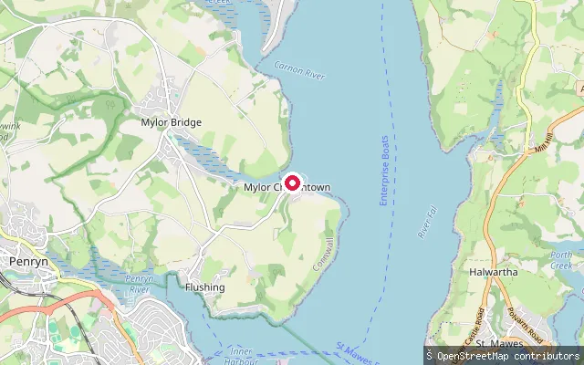
Cornwall, EnglandThis public slipway is at Mylor Churchtown, at the mouth of Mylor Creek, where the creek joins Carrick Roads, the broad natural harbour of the Fal estuary.
Save your own spots
Keep the places you launch, check the wind and shelter before you go, and log every paddle. Add a spot to the directory too, and other paddlers will find it. Free to start.
Some launch spots in this directory are seeded from open data. © OpenStreetMap contributors · Open Database Licence (ODbL) · Machine-readable copy