Paddleboarding spots in Cornwall
121 launch spots across Cornwall
This weekend’s calmest picks in Cornwall
See the ranked launch spots for the best conditions this weekend
Many inland waterways need a licence to paddle. Check with Paddle UK before you go.
Every mapped spot in Cornwall
Zoom in to split a cluster; open a pin for the spotMap of every spot in Cornwall
The interactive map opens on any device with JavaScript. The full list of launch spots is below.
Launch spots
Showing 24 of 121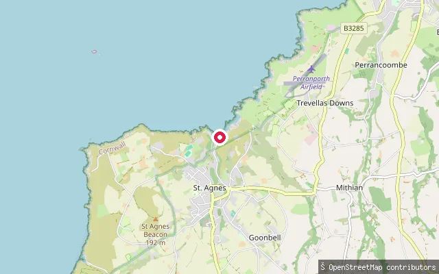 Sea
SeaTrevaunance Cove slipway
Cornwall, EnglandTrevaunance Cove is the small sandy beach and former harbour of St Agnes on Cornwall's north coast. A harbour built here in 1798 exported copper ore until its wall collapsed in a storm in 1915-16, and the cove is now a lifeguarded beach designated a Site of Special Scientific Interest for its exposed mineral-bearing rock.
 Sea
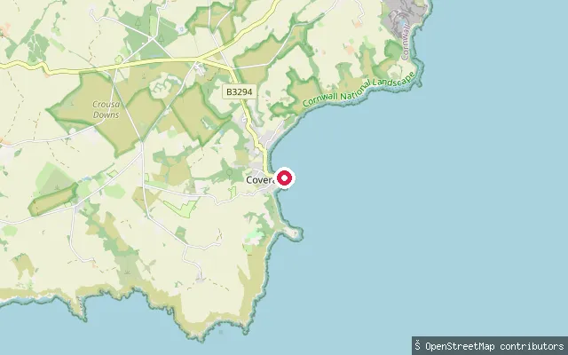
SeaCoverack Harbour slipway
Cornwall, EnglandThis slipway is at Coverack Harbour on the eastern side of the Lizard peninsula, a working fishing harbour that housed an RNLI lifeboat station from 1901 to 1978. OpenStreetMap records access to the slipway as permissive.
 River
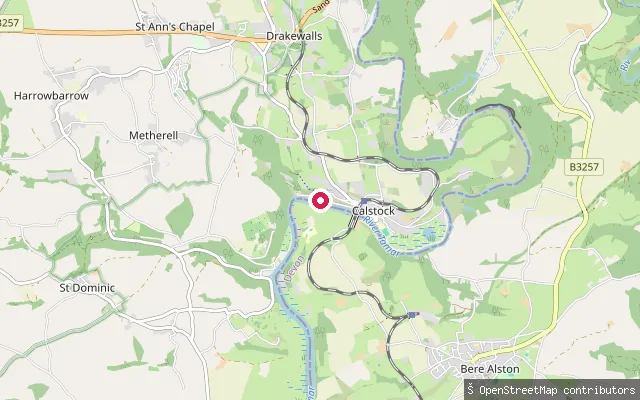
RiverLower Kelly slipway, Calstock
Cornwall, EnglandThis slipway is at Lower Kelly, just south of Calstock village, on the tidal River Tamar within the Tamar Valley National Landscape.
 River
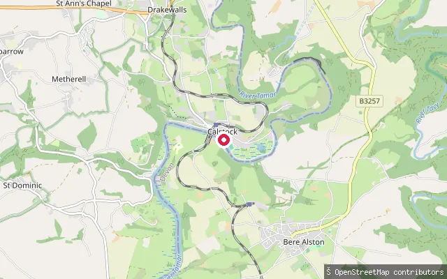
RiverCalstock slipway
Cornwall, EnglandThis slipway is on Commercial Road in Calstock, on the tidal River Tamar below the village's Victorian railway viaduct. Calstock was a working quay for market-garden and mineral traffic in the 19th century, and a seasonal passenger ferry now links Cotehele Quay with the village.
 River
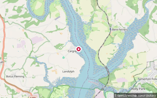
RiverSammy Sands
Cornwall, EnglandSammy Sands is a small tidal beach on the River Tamar at Cargreen, within the Tamar Valley National Landscape. The tidal Tamar's low-water channel here also marks the Devon-Cornwall county boundary, with Devon on the opposite bank.
 River
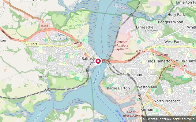
RiverSaltash put-in
Cornwall, EnglandThis slipway sits on Old Ferry Road at Waterside in Saltash, a few hundred metres from Jubilee Green Slipway on the same stretch of the tidal River Tamar below the Tamar and Royal Albert bridges. The King's Harbour Master for Plymouth controls navigation on this reach down to Plymouth Sound.
 River
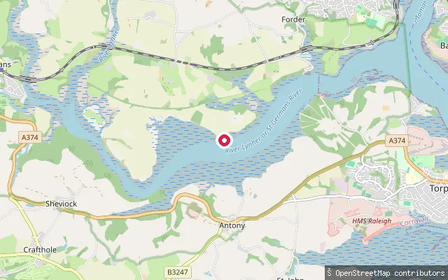
RiverInce Castle slipway
Cornwall, EnglandThis slipway is named Ince Castle after the nearby 17th-century manor house on a peninsula in the River Lynher. It sits close to the hamlet of Clift in Antony parish, near the Lynher's junction with the Tamar, rather than at Saltash itself, and the estuary is part of the Tamar Estuaries Complex Site of Special Scientific Interest.
 Sea
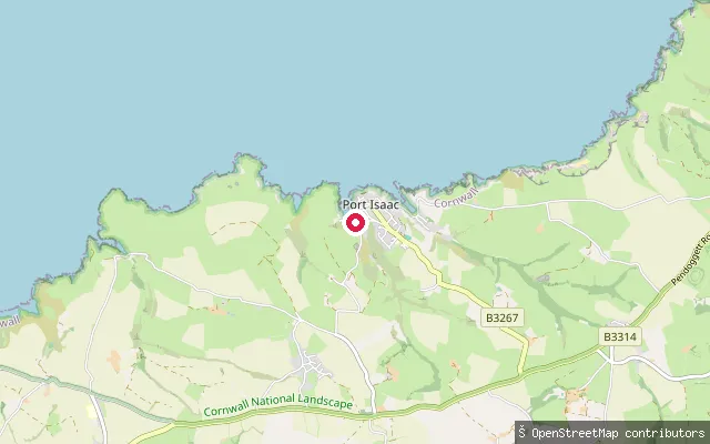
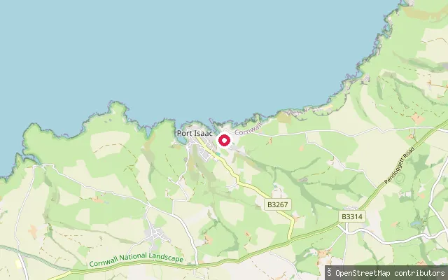
SeaRoscarrock put-in (Port Isaac)
Cornwall, EnglandThis slipway sits on the sea at Port Isaac harbour on the Atlantic coast of north Cornwall, at the foot of Roscarrock Hill, the road historically linked to the village's shipbuilding trade.
 Sea
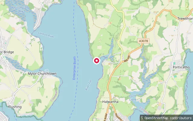
SeaSt Just Creek slipway (St Just in Roseland)
Cornwall, EnglandSaint Just Creek is a short tidal inlet on the eastern shore of Carrick Roads, part of the Fal Estuary, which together with Falmouth forms the third largest natural harbour in the world. The creek's innermost basin, St Just Pool, sits at St Just in Roseland's parish church, with the slipway launching onto the water at the foot of the churchyard.
 Sea
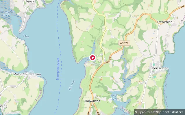
SeaRescassa put-in (St. Just-in-Roseland)
Cornwall, EnglandA put-in on St Just Pool, a tidal creek off Carrick Roads beside St Just in Roseland's 12th-century church on Cornwall's Roseland Peninsula. St Just Pool is a Site of Special Scientific Interest, and a nearby boatyard offers a slipway and launching facilities, with an up-creek launch best timed to a rising tide.
 Sea
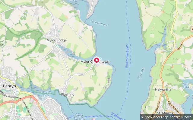
SeaPublic slip
Cornwall, EnglandThis public slipway is on Penarrow Road on the Trefusis peninsula near Mylor Churchtown, launching directly onto Carrick Roads, the broad natural harbour of the Fal Estuary, rather than onto Mylor Creek on the peninsula's other side.
 Sea
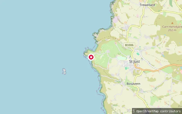
SeaPriest's Cove
Cornwall, EnglandPriest's Cove is a small cove on the Atlantic coast of west Cornwall, about a mile west of St Just and immediately south of Cape Cornwall. A slipway serves a small fishing fleet that still launches from the cove, and the Brisons rocks lie roughly a mile offshore.
 Sea
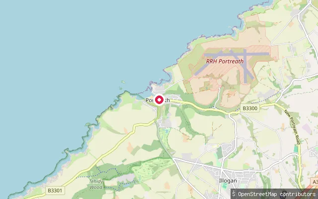
SeaPortreath Harbour slipway
Cornwall, EnglandPortreath harbour sits on Cornwall's north coast, about three miles northwest of Redruth, built in 1760 originally to serve the copper and tin trade. It is now leased to the Portreath Harbour Association by Cornwall Council, with sandy beaches either side of the harbour entrance used by surfers and a local surf lifesaving club.
 Sea
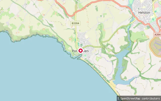
SeaPorthleven slipway
Cornwall, EnglandThis concrete slipway is at Porthleven Harbour, which opens onto Mount's Bay on Cornwall's south coast. The harbour was built partly as a refuge for sailing ships and later housed an RNLI lifeboat station from 1894 to 1929.
 Sea
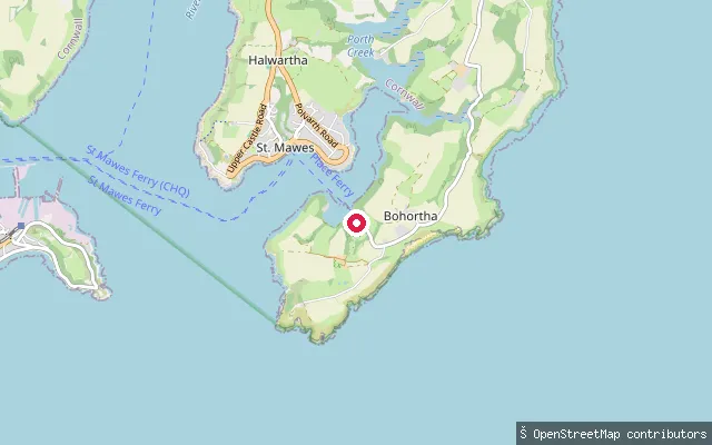
SeaPorth Farm put-in (Bohortha)
Cornwall, EnglandA put-in on the Percuil River shore at Place, opposite St Mawes on Cornwall's Roseland Peninsula, close to St Anthony's Church and the seasonal Place passenger ferry landing. The Percuil River is a tidal estuary running about 11 km from north of the A3078 down to Carrick Roads, and the hamlets of Bohortha and Porth Farm lie a short walk inland.
 Sea
SeaPort Gaverne Beach Slipway
Cornwall, EnglandPort Gaverne is a small cove and hamlet on the Atlantic coast of north Cornwall, just east of Port Isaac. This slipway gives access to its beach for small craft.
 Sea
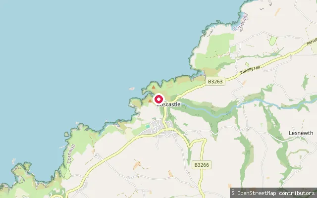
SeaBoscastle Harbour slipway
Cornwall, EnglandBoscastle Harbour is a small natural inlet on the north Cornwall coast, enclosed by two stone harbour walls built in 1584 by Sir Richard Grenville. A tidal slipway and footpath give access to the water, the only significant harbour along about 20 miles of this stretch of coast.
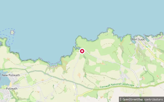
St Minver Highlands slipway
Cornwall, EnglandThis mapped slipway sits beside the B3314 in the St Minver Highlands countryside, inland from both the Camel Estuary at Rock and the north Cornwall coast near Port Isaac. No named water body could be confirmed at this location.
 Sea
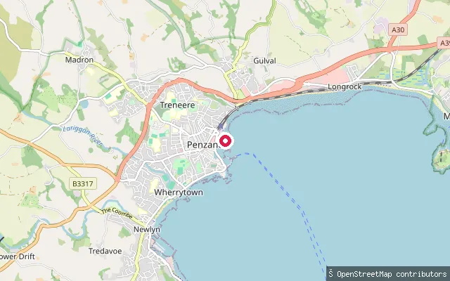
SeaPenzance Harbour slipway
Cornwall, EnglandA slipway close to parking near Penzance Harbour, launching onto Mount's Bay a short distance from the harbour mouth.
 Sea
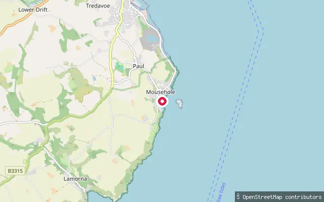
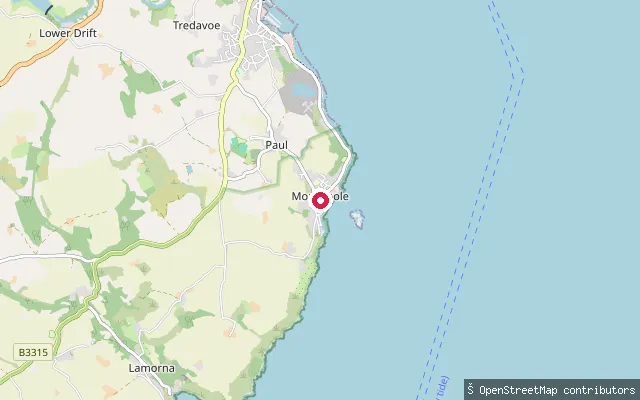
SeaMousehole slipway (south)
Cornwall, EnglandMousehole's harbour slipway on the western side of Mount's Bay, about 2.5 miles south of Penzance.
 Sea
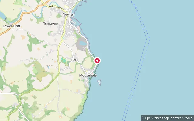
SeaMousehole slipway
Cornwall, EnglandA paved public slipway on Mousehole's harbour front on Mount's Bay, a short walk from the village's outer harbour wall.
 Sea
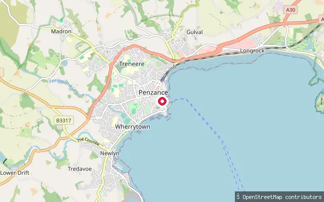
SeaPenlee Point slipway
Cornwall, EnglandA slipway near Penlee Point on the coast path between Newlyn and Mousehole, opening onto Mount's Bay close to the site of the former Penlee lifeboat house.
 Sea
SeaSt Michaels Mouth slipway
Cornwall, EnglandSt Michaels Mouth is a small-craft slipway right at the mouth of Penzance Harbour on Mount's Bay, with St Michael's Mount visible across the bay to the east.
 Sea
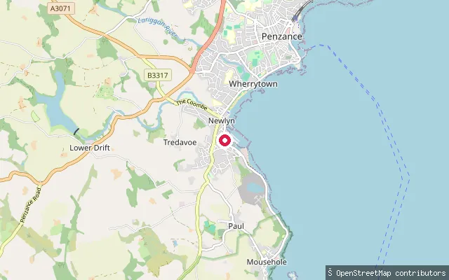
SeaNewlyn slipway
Cornwall, EnglandA slipway on the harbour service road at Newlyn, about 300 metres from Newlyn Slip, opening onto Mount's Bay in west Cornwall.
Save your own spots
Keep the places you launch, check the wind and shelter before you go, and log every paddle. Add a spot to the directory too, and other paddlers will find it. Free to start.
Some launch spots in this directory are seeded from open data. © OpenStreetMap contributors · Open Database Licence (ODbL) · Machine-readable copy