Paddleboarding spots in Cumbria
52 launch spots across Cumbria
This weekend’s calmest picks in Cumbria
See the ranked launch spots for the best conditions this weekend
Cumbria holds England's largest lakes, and most sit in a valley that shelters one shore or another whatever the wind is doing. Derwentwater and Ullswater give long, open crossings; the smaller tarns reward an early start before the day-boats and the breeze arrive.
These are the launch spots we've mapped in Cumbria so far.
Many inland waterways need a licence to paddle. Check with Paddle UK before you go.
Every mapped spot in Cumbria
Zoom in to split a cluster; open a pin for the spotMap of every spot in Cumbria
The interactive map opens on any device with JavaScript. The full list of launch spots is below.
Launch spots
Showing 24 of 52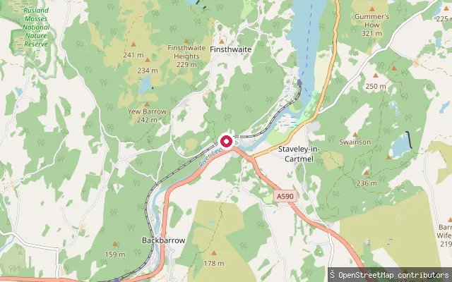 River
RiverRiver Leven put-in, Newby Bridge
Cumbria, EnglandThis put-in is on the River Leven close to Newby Bridge, where the river leaves the southern tip of Windermere and runs about 8 miles to Morecambe Bay. The upper stretch towards Haverthwaite is used by whitewater paddlers as a grade 3 to 4 run.
 Lake
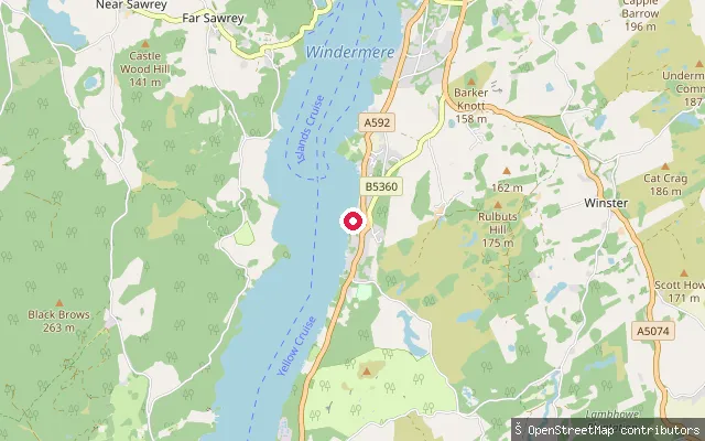
LakeCartmel Fell put-in
Cumbria, EnglandThis slipway sits on Windermere's shore at Storrs, within the civil parish of Cartmel Fell and close to Broad Leys, home of the Windermere Motor Boat Racing Club. The bay in front of it doubles as the club's race course on event days.
 Lake
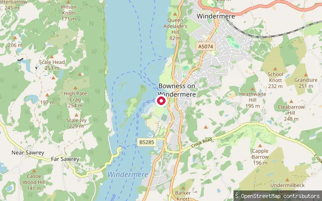
LakeGlebe Road slipway (Bowness-on-Windermere)
Cumbria, EnglandThis slipway on Glebe Road launches onto Windermere, England's largest natural lake, within Bowness Bay close to the town's promenade and the Windermere Lake Cruises piers.
 Lake
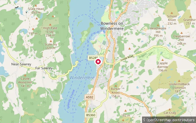
LakeWindward Way slipway (Bowness-on-Windermere)
Cumbria, EnglandThis slipway launches onto Windermere's eastern shore off Windward Way, a residential road on the southern edge of Bowness-on-Windermere. It sits among private lakeside plots rather than a formal public launch site.
 Lake
LakeConiston Water put-in, Blawith Common
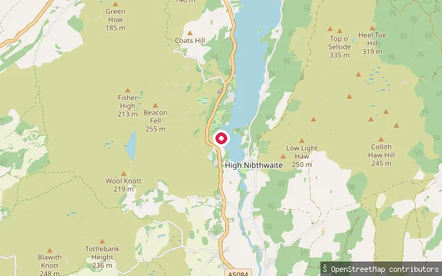
Cumbria, EnglandThis is a whitewater canoeing put-in on Blawith Common, on the western shore near the southern end of Coniston Water, where Black Beck reaches the lake. Paddlers typically launch here and head down the lake to where it narrows into the River Crake.
 Sea
SeaRoa Island slipway, Tower Street
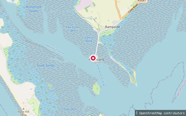
Cumbria, EnglandThis slipway sits on Roa Island, a former tidal island linked to Rampside by an 1846 causeway, and launches onto Piel Channel at the mouth of Morecambe Bay. The island lies within the South Walney and Piel Channel Flats SSSI, noted for its seal colony and wintering wading birds.
 Sea
SeaRoa Island slipway, Foulney Street
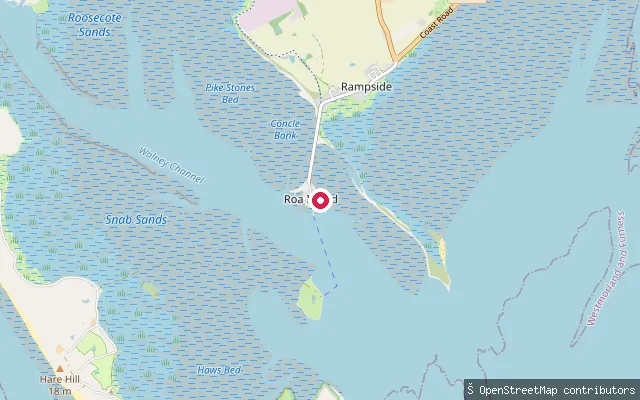
Cumbria, EnglandThis slipway is on Foulney Street, Roa Island, close to the causeway to Rampside, and launches onto Piel Channel at the entrance to Morecambe Bay. The area lies within the South Walney and Piel Channel Flats SSSI.
 Sea
SeaBarrow Lifeboat Station slipway, Roa Island
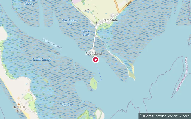
Cumbria, EnglandThis slipway serves the RNLI's Barrow Lifeboat Station on Roa Island, which covers Morecambe Bay and the Irish Sea and has operated since 1864. It launches onto Piel Channel; as a working lifeboat slipway, access for other craft may be restricted around exercises and callouts.
 Sea
SeaWalney Island west shore slipway
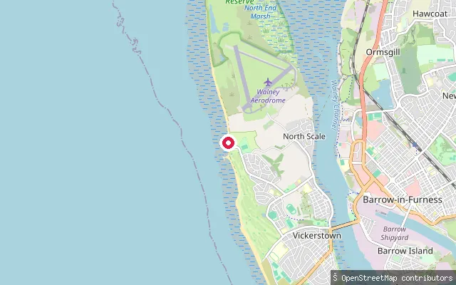
Cumbria, EnglandThis slipway opens onto the Irish Sea on the west shore of Walney Island, near Vickerstown and North Scale. Broad sands are exposed at low tide, and the neighbouring Earnse Bay is used through summer by a kitesurfing school and other watersports.
 Sea
SeaWorkington put-in
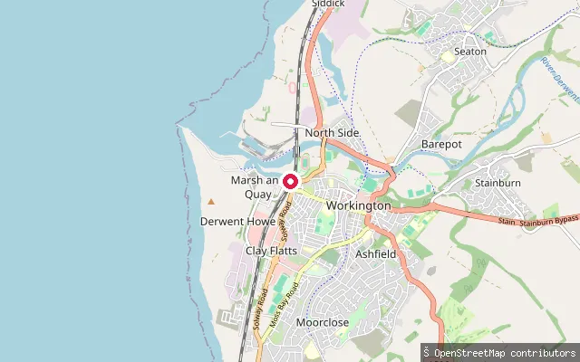
Cumbria, EnglandWorkington Harbour sits where the River Derwent meets the Irish Sea on the Cumbrian coast. Alongside the commercial Prince of Wales Dock, the harbour includes a tidal leisure harbour used by small leisure and fishing craft, with the whole port run by Cumberland Council as the statutory harbour authority.
 Sea
SeaSiddick put-in
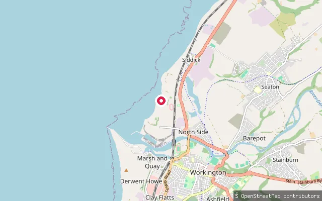
Cumbria, EnglandSiddick is a small coastal settlement on the Solway coast about two miles north of Workington Harbour, backed by the long sand and shingle stretch of Siddick Beach. A slipway here gives access to the open Irish Sea coast, away from the harbour and its shipping.
 Sea
SeaWorkington put-in
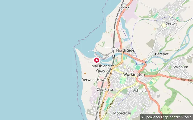
Cumbria, EnglandWorkington Harbour sits where the River Derwent meets the Irish Sea on the Cumbrian coast. This slipway is mapped as an official small-craft facility on nautical charts, close to the harbour's Tidal Leisure Harbour section used by small leisure and fishing boats.
 Sea
SeaWhitehaven put-in
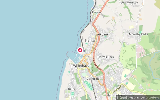
Cumbria, EnglandWhitehaven Harbour is a Georgian-era harbour on the west Cumbrian coast, developed from 1634 as a coal-exporting port and now home to a marina with around 400 berths. This slipway sits on North Beach, on the open coast just north of the harbour's North Pier, separate from the enclosed harbour basin further along the shore.
 Sea
SeaWhitehaven put-in
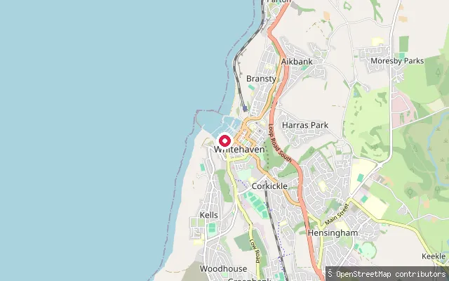
Cumbria, EnglandWhitehaven Harbour is a Georgian-era harbour on the west Cumbrian coast, developed from 1634 as a coal-exporting port and now home to a marina with around 400 berths. This slipway sits at the southern end of the harbour close to a near-identical mapped point, likely recording the same launch spot twice.
 Sea
SeaSilecroft Beach slipway, Whicham
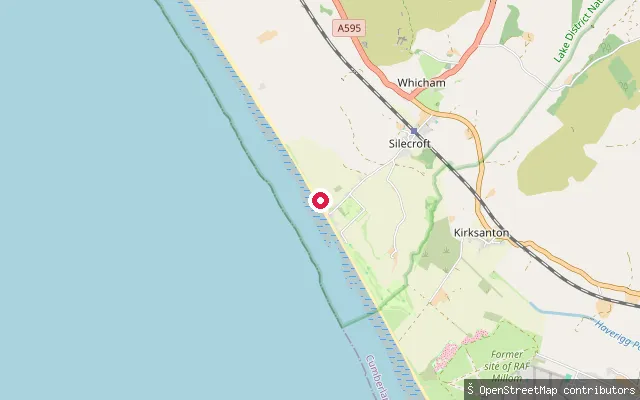
Cumbria, EnglandThis slipway opens onto Silecroft Beach on the Whicham parish coast, a gently shelving shingle-and-sand beach facing the Irish Sea with the Cumbria Coastal Way running along it. Free parking sits beside the beach, with toilets and village pubs nearby.
 Lake
LakeArmboth slipway (Thirlmere)
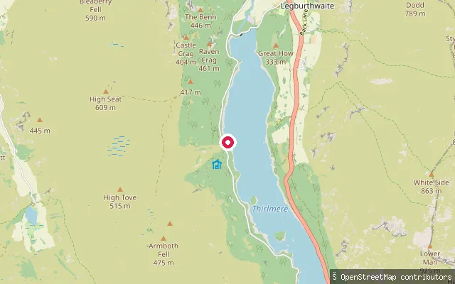
Cumbria, EnglandA slipway on Thirlmere reservoir's western shore, reached from the Armboth car park off Dam Road near Legburthwaite. United Utilities, which owns the reservoir, lists canoeing as permitted at Thirlmere but does not permit paddleboarding there.
 Sea
SeaSt. Bees put-in
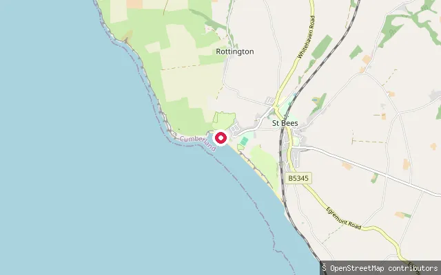
Cumbria, EnglandSt Bees Beach is a broad sandy beach on the Irish Sea coast at the southern end of the Cumbrian coastline, beneath the red sandstone cliffs of St Bees Head. It is the traditional starting point of Wainwright's Coast to Coast Walk, and a slipway here gives access to the beach for launching craft.
 Sea
SeaSilloth coast path slipway
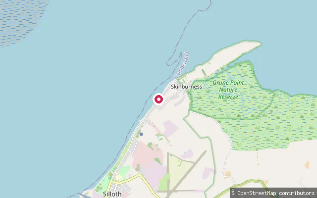
Cumbria, EnglandA slipway on the concrete coast path north-east of Silloth, on the stretch of the King Charles III England Coast Path heading towards Grune Point. It fronts the Solway Firth's tidal sand and mudflats, which shift daily under one of the UK's largest tidal ranges.
 Sea
SeaSilloth pier slipway
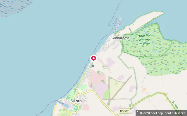
Cumbria, EnglandA slipway beside a small pier on the concrete promenade path north-east of Silloth, on the King Charles III England Coast Path towards Grune Point. It launches onto the Solway Firth's tidal sand and mudflats, which are exposed and re-covered by one of the UK's largest tidal ranges.
 Sea
SeaSilloth RNLI slipway
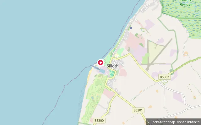
Cumbria, EnglandA slipway at Silloth's RNLI lifeboat station on the Solway Firth, on the north-west Cumbrian coast facing the Galloway hills across the water. The Solway has one of the largest tidal ranges in the UK, with spring tides at Silloth rising and falling by around 8.4 metres, so the exposed sand and mudflats here change fast with the tide.
 Sea
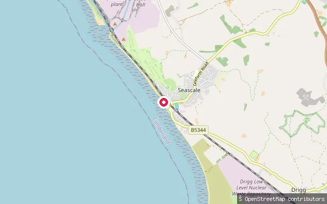
SeaSeascale put-in
Cumbria, EnglandThis slipway sits on Seascale's beach on the Irish Sea coast, next to the seafront car park. The beach shelves from shingle at the top to a wide expanse of sand at low tide, with toilets and a convenience store nearby.
 Sea
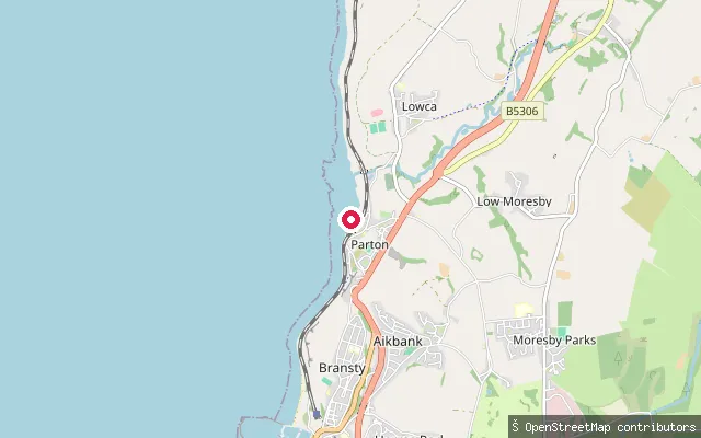
SeaParton put-in
Cumbria, EnglandParton is a small coastal village on the Cumbrian coast about two miles north of Whitehaven, overlooking the Solway Firth. A slipway gives access to a beach that is mainly pebbles and rock, with sand exposed at low tide, reached from the village via a tunnel under the railway line.
 Sea
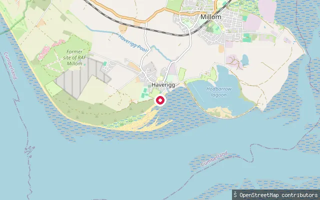
SeaHodbarrow Outer Barrier slipway, Haverigg
Cumbria, EnglandThis slipway is on the Hodbarrow Outer Barrier near Haverigg, a sea wall over a mile long built between 1900 and 1905 to keep the sea from the former Hodbarrow ironstone workings, and opens onto the Duddon Estuary. The estuary forms part of a Site of Special Scientific Interest and is Cumbria's second-largest after the Solway Firth.
 Lake
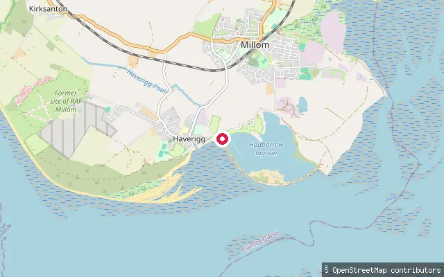
LakeHodbarrow Lagoon slipway, Outer Barrier
Cumbria, EnglandThis slipway launches onto Hodbarrow Lagoon, a flooded former ironstone mine enclosed by the Hodbarrow Outer Barrier near Haverigg and now run by the RSPB as a nature reserve on the edge of the Duddon Estuary. The RSPB protects the lagoon from boats and visitors during the bird breeding season.
Save your own spots
Keep the places you launch, check the wind and shelter before you go, and log every paddle. Add a spot to the directory too, and other paddlers will find it. Free to start.
Some launch spots in this directory are seeded from open data. © OpenStreetMap contributors · Open Database Licence (ODbL) · Machine-readable copy