Paddleboarding spots in Isle of Wight
65 launch spots across Isle of Wight
This weekend’s calmest picks in Isle of Wight
See the ranked launch spots for the best conditions this weekend
Many inland waterways need a licence to paddle. Check with Paddle UK before you go.
Every mapped spot in Isle of Wight
Zoom in to split a cluster; open a pin for the spotMap of every spot in Isle of Wight
The interactive map opens on any device with JavaScript. The full list of launch spots is below.
Launch spots
Showing 24 of 65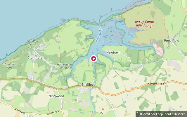 Sea
SeaNewtown River put-in, Western Haven
Isle of Wight, EnglandWestern Haven is one of the tidal creeks that fan out from Newtown River, the sheltered, bar-built harbour on the Isle of Wight's north-west coast between Yarmouth and Cowes. The Solent connects to the estuary through a narrow, shallow entrance about three-quarters of a mile east of Hamstead Point, opening into a maze of muddy creeks, saltmarsh and ancient meadows that make up the wider Newtown National Nature Reserve.
 Sea
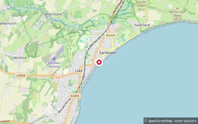
SeaSandown put-in
Isle of Wight, EnglandA second slipway on Sandown's esplanade on Sandown Bay, close to Sandown Pier and the town's Culver Parade seafront.
 Sea
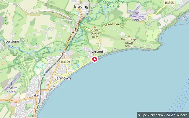
SeaYaverland put-in
Isle of Wight, EnglandThis slipway sits at Yaverland, at the northern end of Sandown Bay near the Isle of Wight Zoo. Yaverland's beach is popular with watersports users and known for dinosaur fossils exposed at low tide, and the bay's reefs and seabed here are designated a Special Area of Conservation.
 Sea
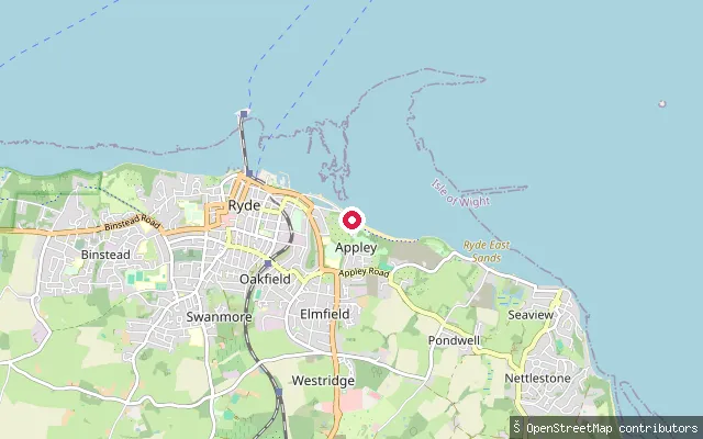
SeaRyde put-in
Isle of Wight, EnglandThis slipway is at Springvale, on the Solent shore between Puckpool Park and Seaview, well east of Ryde town itself. The shingle-and-sand beach looks out across the Solent to Portsmouth and the Spinnaker Tower, and The Boathouse pub sits at the Puckpool end.
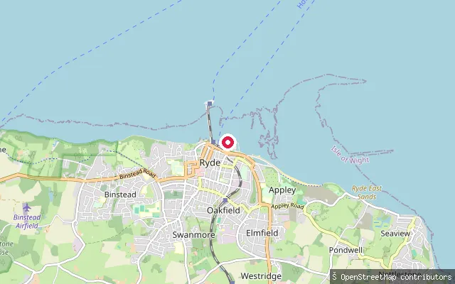 Sea
SeaRyde put-in
Isle of Wight, EnglandThis slipway serves Appley Beach, a sandy beach roughly a 20-minute walk east of Ryde town centre, facing the Solent's shipping lanes. The beach has cafes, toilets, parking and a picnic area at Appley Park, with an ornamental canoe lake nearby but separate from the open-water launch.
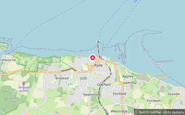 Sea
SeaRyde put-in
Isle of Wight, EnglandThis slipway is on Ryde's Esplanade seafront, on the Solent facing Portsmouth and Spithead. Paddleboard and kayak hire operates from the beach by Ryde Marina nearby, with hours that depend on tide and weather.
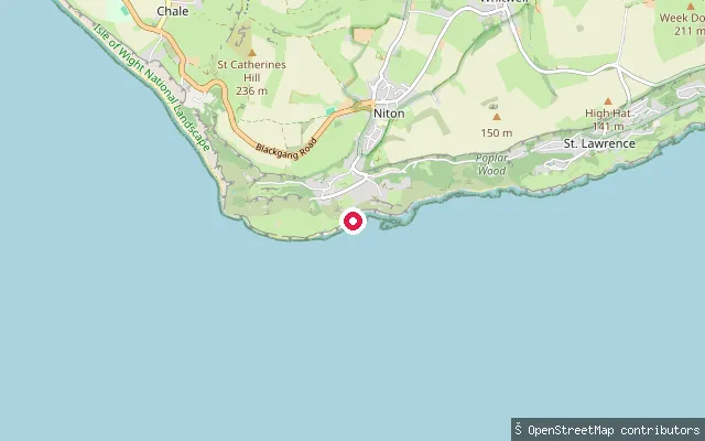 Sea
SeaCastlehaven (Reeth Bay) slipway
Isle of Wight, EnglandReeth Bay, known locally as Castlehaven, is a small cove on the Isle of Wight's southern tip east of St Catherine's Point, reached on foot from the hamlet of Castlehaven near Niton. A concrete ramp gives access for small craft, but the sandy part of the beach is exposed only at low tide.
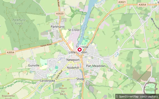 Sea
SeaNewport Quay slipway (Little London)
Isle of Wight, EnglandThis slipway is on the River Medina at Little London, by Newport's town quay, at the tidal head of the Medina Estuary. The upper harbour dries out to soft mud for several hours either side of low water, with a mean tidal range from about 4.2 m at spring high water to 0.8 m at spring low water.
 Sea
SeaNettlestone and Seaview put-in (Pondwell)
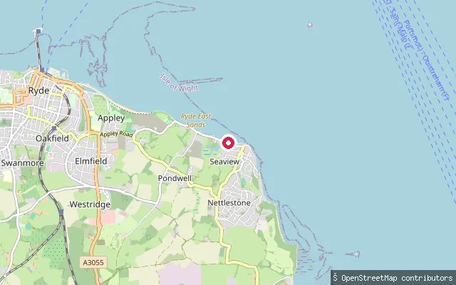
Isle of Wight, EnglandThis slipway is on the Solent shore at Pondwell, a coastal hamlet between Ryde and Seaview on the island's north-east coast. The shore here looks out across the Solent towards Portsmouth, with Springvale Beach around half a mile to the north-west.
 Sea
SeaSeaview put-in (High Street)
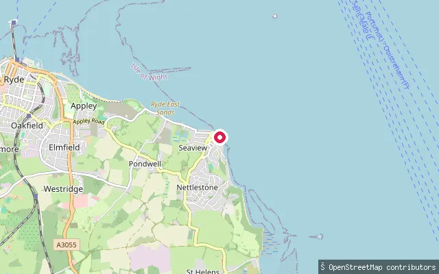
Isle of Wight, EnglandThis access point on High Street in Seaview gives onto the open Solent shore on the Isle of Wight's north-east coast, close to Seaview's village centre and its historic Pier Road slipway.
 Sea
SeaNettlestone and Seaview put-in (Pondwell)
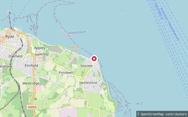
Isle of Wight, EnglandThis slipway sits on the Pondwell shoreline of the Solent, part of the Nettlestone and Seaview civil parish between Ryde and Seaview. It is roughly 80 m from another harvested slipway at the same stretch of shore.
 Sea
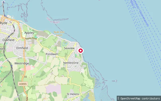
SeaPondwell put-in (Gully Road)
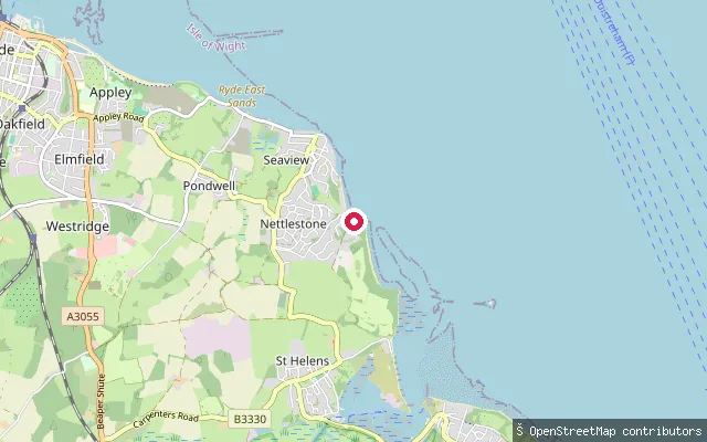
Isle of Wight, EnglandThis slipway on Gully Road gives access to the open Solent at Pondwell, a small coastal hamlet between Ryde and Seaview on the Isle of Wight's north-east coast. The shore here faces across the Solent towards the Hampshire coast.
 Sea
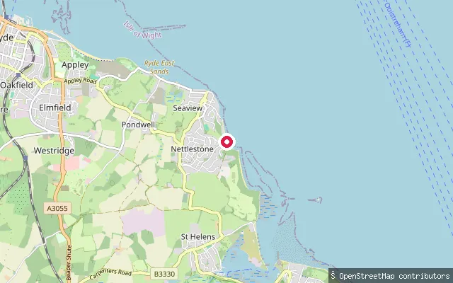
SeaSeaview slipway (Pier Road)
Isle of Wight, EnglandThis is the historic Seaview slipway on Pier Road, a community launch facility dating from the 1930s used by residents, holidaymakers, the sailing club, small boat owners and sea swimmers on the Solent. The Isle of Wight Council maintains it, though in 2026 the seaward end was closed after tidal erosion damaged the coastal defence wall beneath it.
 Sea
SeaPondwell put-in (Gully Road, north)
Isle of Wight, EnglandThis slipway, close to the previous Gully Road access point, also gives access to the open Solent at Pondwell on the Isle of Wight's north-east coast, facing across the Solent towards the Hampshire shore.
 Sea
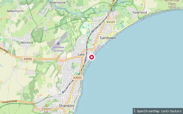
SeaLake put-in
Isle of Wight, EnglandA slipway on Sandown Bay's esplanade at the northern edge of Lake, where the settlement runs into Sandown. The beach is part of the sandy, gently sloping shoreline that extends the length of Sandown Bay.
 Sea
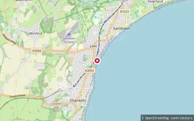
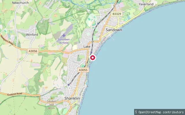
SeaLake put-in
Isle of Wight, EnglandA second slipway on Sandown Bay's sea wall at Lake, close to the Wight Water Adventure Watersports base on Dunroamin Beach. The beach here forms part of the roughly 8km stretch of tidal sand that runs from Luccombe to Culver, kept up by longshore drift along Sandown Bay's concordant coastline.
 Sea
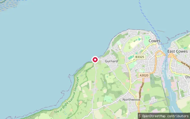
SeaLake put-in
Isle of Wight, EnglandThis slipway sits on the sea wall at Lake, the stretch of Sandown Bay between Shanklin and Sandown on the Isle of Wight's south-east coast. The Isle of Wight Council runs a seasonal beach zoning scheme with marker buoys along this shore to keep bathers and watersports users apart, and Wight Water Adventure Watersports hires kayaks and paddleboards from the beach nearby, known locally as Dunroamin Beach.
 Sea
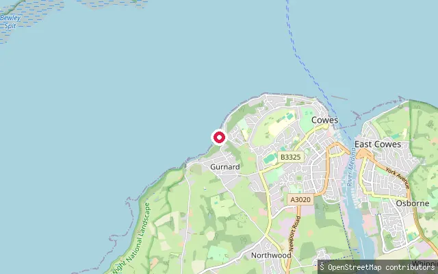
SeaGurnard put-in
Isle of Wight, EnglandThis launch point is on the Gurnard Bay shoreline near Gurnard Marsh, toward the bay's south-western end, close to where the small stream Gurnard Luck meets the sea. Gurnard Bay is a gently curving bay of the western Solent, and its seabed includes Gurnard Ledge, a reef marked with a buoy as a danger to shipping.
 Sea
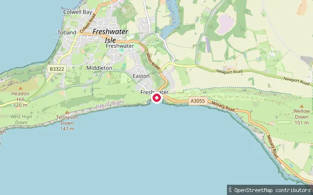
SeaGurnard put-in
Isle of Wight, EnglandGurnard Bay is a gently curving stretch of the Solent shore about 2 km long, running between Gurnard Head and Egypt Point on the Isle of Wight's north coast. The seabed is a mixture of mud and sand, and the small stream Gurnard Luck enters the bay at its south-western end, its estuary used as a small harbour for fishing boats. At the bay's eastern end, a decommissioned lighthouse, unlit since 1989 but still standing as a landmark for yachtsmen, marks Egypt Point, where Cowes Harbour's jurisdiction begins.
 Sea
SeaFreshwater put-in
Isle of Wight, EnglandThis slipway launches into Freshwater Bay on the Isle of Wight's south coast, close to where the Western Yar rises before flowing north to Yarmouth. The bay opens directly onto the English Channel and can see swell and breaking waves, and local operators hire paddleboards and run trips from the beach here.
 Sea
SeaFishbourne put-in
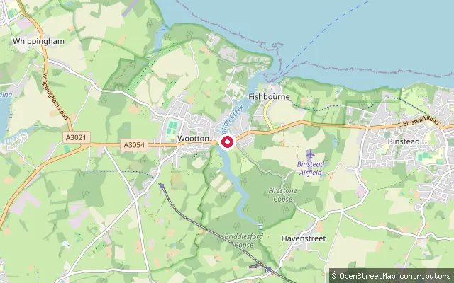
Isle of Wight, EnglandWootton Creek is a tidal inlet on the Isle of Wight's north coast, entering the Solent by the Fishbourne to Portsmouth car ferry terminal and running about half a mile inland to Wootton Bridge. This slipway sits on the creek's east (Fishbourne) bank close to the road bridge; the creek dries out at low water, so a launch here needs the tide.
 Sea
SeaFishbourne put-in
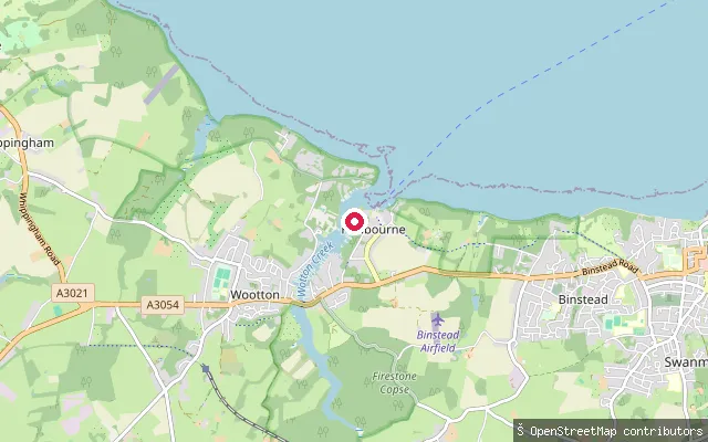
Isle of Wight, EnglandThis slipway sits further southwest along Wootton Creek's tidal channel, between the Fishbourne ferry terminal and Wootton Bridge. The creek here is flanked by drying mud flats and was historically lined with private boat-building yards and landings.
 Sea
SeaFishbourne put-in
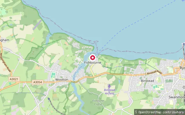
Isle of Wight, EnglandThis slipway lies further up the tidal channel of Wootton Creek, inland of the Fishbourne ferry terminal. Historically this bank held private moorings and small-craft slipways rather than a single formal launch point.
 Sea
SeaCowes put-in
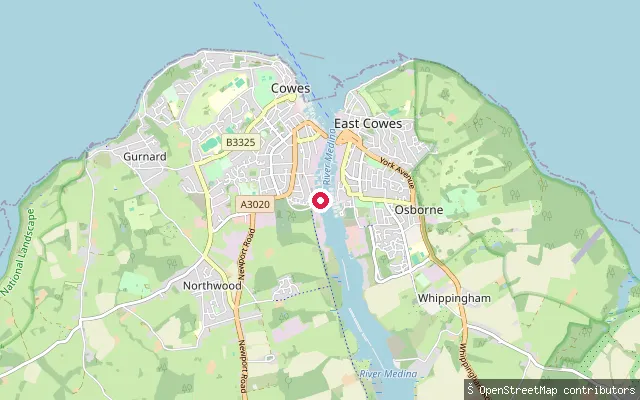
Isle of Wight, EnglandThis slipway sits on Cowes Parade, on the west shore where the River Medina's mouth meets the Solent. The nearby Watch House Slip gives access at all states of tide, though Cowes Harbour Commission warns of a strong cross-current from around two and a half hours before high water until low water.
Save your own spots
Keep the places you launch, check the wind and shelter before you go, and log every paddle. Add a spot to the directory too, and other paddlers will find it. Free to start.
Some launch spots in this directory are seeded from open data. © OpenStreetMap contributors · Open Database Licence (ODbL) · Machine-readable copy