Paddleboarding spots in Devon
110 launch spots across Devon
This weekend’s calmest picks in Devon
See the ranked launch spots for the best conditions this weekend
Many inland waterways need a licence to paddle. Check with Paddle UK before you go.
Every mapped spot in Devon
Zoom in to split a cluster; open a pin for the spotMap of every spot in Devon
The interactive map opens on any device with JavaScript. The full list of launch spots is below.
Launch spots
Showing 24 of 110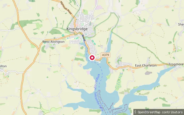 Sea
SeaWaterside Walk
Devon, EnglandWaterside Walk is a public footpath and slipway, recorded as Kingsbridge Footpath 10, giving access to the Kingsbridge Estuary close to the town at the tidal head of the ria.
 Sea
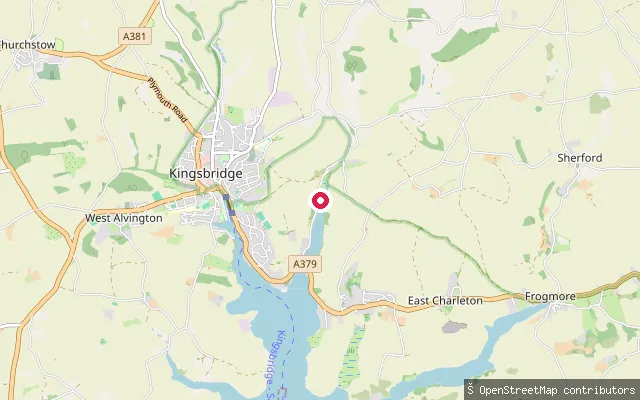
SeaTunge Field Farm put-in (South Hams)
Devon, EnglandThis slipway launches onto Bowcombe Creek, the most northerly arm of the Kingsbridge Estuary, close to Kingsbridge, South Hams. Salcombe Harbour Authority's jurisdiction runs from the open sea up to Kingsbridge and covers the whole estuary system, including canoes and stand-up paddleboards alongside powered craft.
 Sea
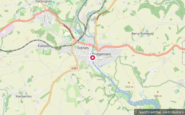
SeaTotnes slipway, The Mount
Devon, EnglandA slipway on the tidal River Dart at Totnes near The Mount, close to the town's Measured Mile rowing reach below the weir that marks the tidal limit. OpenStreetMap records it as a former quay wall converted to a slipway, with a gate now controlling access.
 Sea
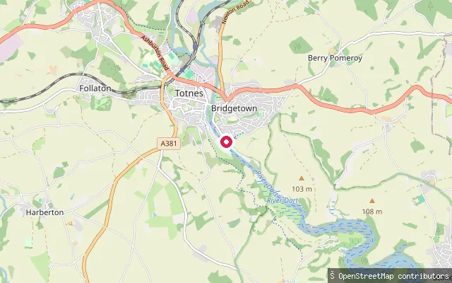
SeaTotnes slipway, Riverside Walk
Devon, EnglandA slipway on the tidal River Dart at Totnes, on the Riverside Walk beside the town's 'Measured Mile' reach downstream of Totnes weir, the seventeenth-century structure that marks the head of the estuary.
 Sea
SeaLundy Landing Beach slipway
Devon, EnglandThe Landing Beach is Lundy Island's only boat landing point, on its south-east side in the Bristol Channel around eleven miles off Hartland Point on the North Devon coast. A jetty completed in 1999 gives some shelter from westerly and southerly wind and swell, though the beach stays exposed to easterly weather.
 Sea
SeaTopsham Lock Cottage put-in (Exeter)
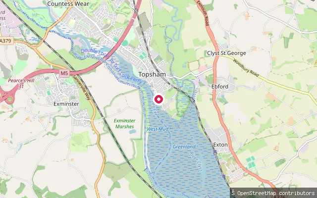
Devon, EnglandThis slipway sits on the tidal Exe Estuary at Topsham, a former port town on the river's east bank immediately north of its confluence with the River Clyst. Topsham grew on its sheltered position on the Exe through fishing, shipbuilding and overseas trade in the 17th and 18th centuries.
 Sea
SeaTopsham Lock Cottage put-in (Exeter)
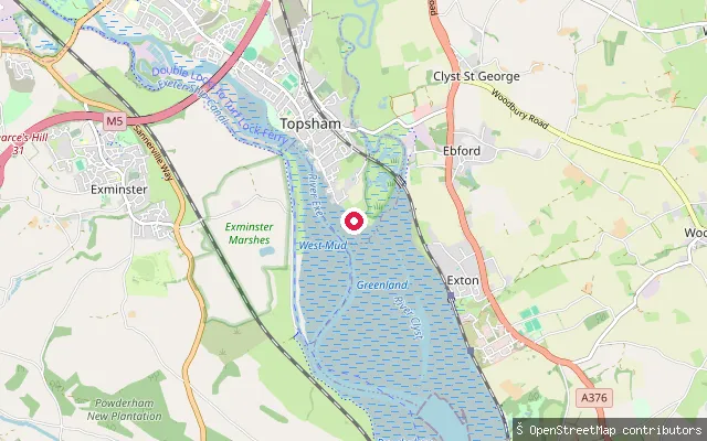
Devon, EnglandThis slipway is on the Exe Estuary at Topsham's Goat Walk, the riverside path along the town's waterfront looking out over the tidal river towards Exminster Marshes. Topsham sits on the estuary's east bank, just north of the River Clyst confluence. The estuary runs some 12 kilometres from its harbour mouth at Pole Sands to Countess Wear, with a further 3 kilometres on to Exeter, and is protected from the open sea by the natural sand spits of Dawlish Warren and Pole Sands.
 River
RiverWest Exe South slipway
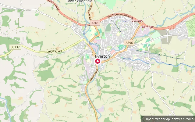
Devon, EnglandThis slipway is on the River Exe at West Exe South in Tiverton, about 165 metres upstream of a second slipway near Bridge Street. As with most English rivers, there is no general public right of navigation on this non-tidal stretch of the Exe.
 River
RiverTiverton Bridge slipway
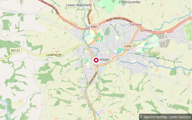
Devon, EnglandThis slipway sits on the River Exe in Tiverton's West Exe neighbourhood, close to Bridge Street and the town bridge. A second slipway lies roughly 165 metres downstream on the same bank at West Exe South. As with most English rivers, there is no general public right of navigation on this non-tidal stretch of the Exe.
 Sea
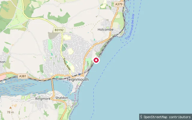
SeaEastcliff Walk slipway, Teignmouth
Devon, EnglandTeignmouth lies on the English Channel coast, about 12 miles south of Exeter. This slipway sits on Eastcliff Walk on the open coast north-east of the town's harbour mouth, near Holcombe, launching onto the Channel rather than into the sheltered Teign Estuary.
 Sea
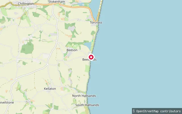
SeaBeesands slipway
Devon, EnglandBeesands is a shingle beach on the open coast of Start Bay, on the South Devon coast between Hallsands and Torcross. A separate freshwater lake, Widdicombe Ley, lies inland behind the village and is not reached from this slipway.
 Sea
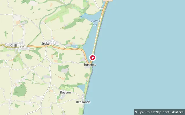
SeaTorcross slipway
Devon, EnglandThis slipway sits at the north end of the Torcross seafront promenade, giving access to Start Bay along the shingle sweep of Slapton Sands. The freshwater Slapton Ley National Nature Reserve lies on the landward side of the coast road here and is a distinct body of water from the sea at this launch point.
 Sea
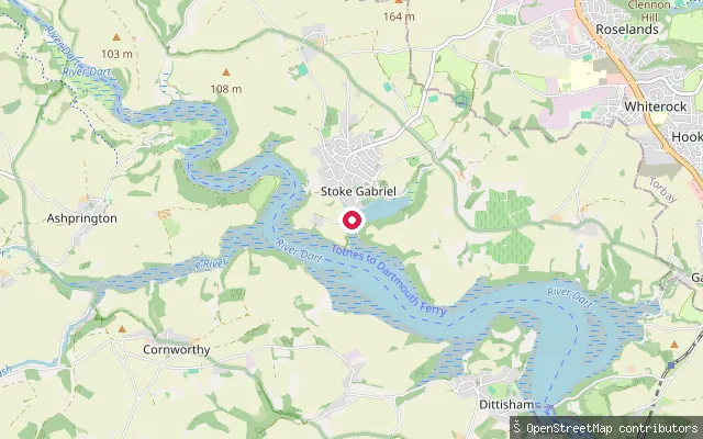
SeaStoke Gabriel slipway
Devon, EnglandA concrete slipway reached by a short service road off Mill Hill in Stoke Gabriel, a village on a tidal creek of the River Dart between Totnes and Dartmouth. The village's separate Mill Pool is impounded behind a weir and is not the same water as the tidal creek this slipway gives onto.
 Sea
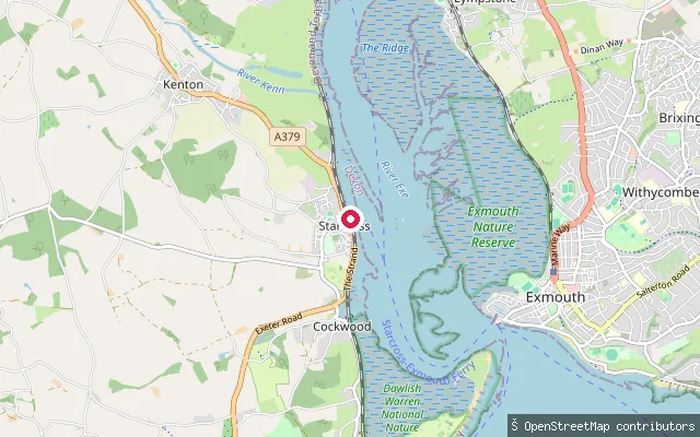
SeaStarcross Ferry Club slipway
Devon, EnglandThis slipway sits on the Starcross waterfront a short way north of The Strand, close to the SFCC (Starcross sailing/cruising club) pontoon and opposite the tidal mudflat known as Starcross Sand. It launches into the tidal Exe Estuary. The Exe Water Users Code, published by the Exe Estuary Management Partnership, sets a 10-knot speed byelaw and asks paddlers to keep at least 100m from birds.
 Sea
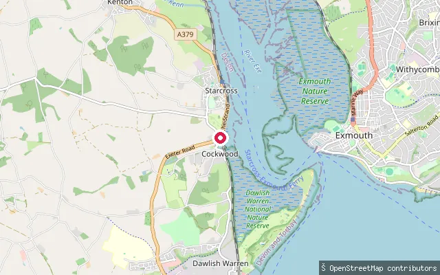
SeaStarcross Strand slipway
Devon, EnglandStarcross Strand slipway launches into the tidal Exe Estuary on its west shore, with Exmouth on the far bank. The estuary dries at low tide to broad mud and sand flats that support at least 20,000 wintering waterfowl and waders, part of the wider Site of Special Scientific Interest and Special Protection Area that covers the whole estuary. Powderham Castle's parkland and its restored Belvedere Tower rise on the hillside upstream, and the sand spit at Dawlish Warren closes off the estuary mouth to the south.
 River
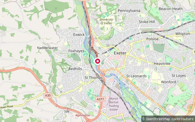
RiverSt Thomas put-in (Exeter)
Devon, EnglandThis is a whitewater put-in on the River Exe in the St Thomas area of Exeter, upstream of the city's tidal limit at Trews Weir. St Thomas is a district on the west bank of the river through central Exeter.
 Canal
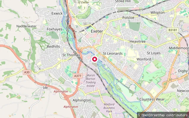
CanalSt Leonards put-in (Exeter)
Devon, EnglandThis slipway is at Exeter Quay, where the Exeter Ship Canal ends in a basin now used as a marina and boatyard. The Quay sits just above Trews Weir, the tidal limit of the River Exe, with the canal itself running about 5km south to Turf Lock on the Exe Estuary.
 Sea
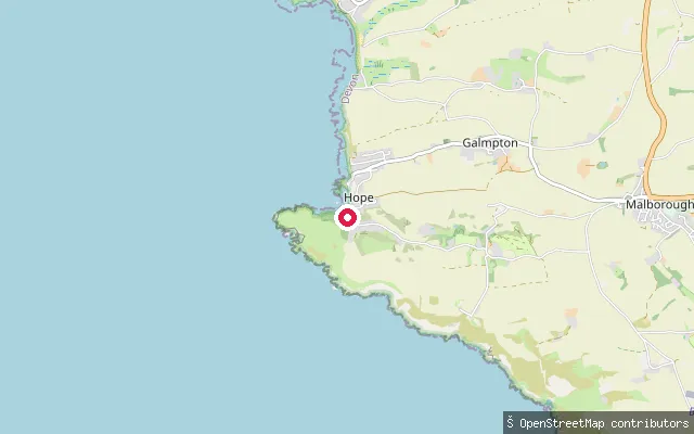
SeaSouth Huish put-in (South Hams)
Devon, EnglandThis stone-sett slipway launches onto Harbour Beach at Inner Hope, the sheltered southern part of Hope Cove village on Bigbury Bay, South Hams. Inner Hope belonged to the neighbouring parish of Malborough until 1974, when it was unified with Outer Hope.
 Sea
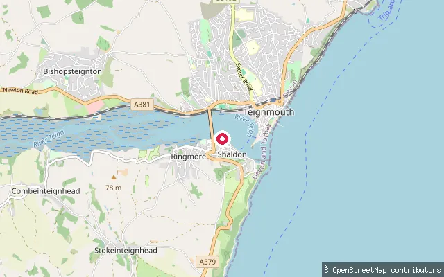
SeaRiverside slipway (near Shaldon Bridge)
Devon, EnglandThis concrete slipway on Riverside in Shaldon lies close to Shaldon Bridge, which links Shaldon to Teignmouth across the Teign Estuary. OpenStreetMap records the launch as publicly accessible.
 Sea
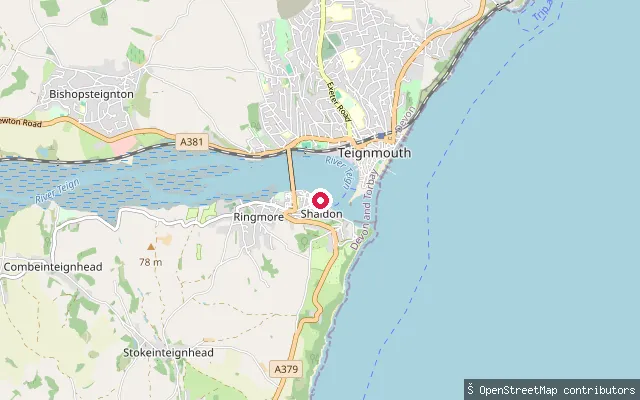
SeaRiverside slipway, Shaldon
Devon, EnglandThis concrete slipway on Riverside in Shaldon sits further downstream toward the estuary mouth, on the south bank opposite Teignmouth. OpenStreetMap records the launch as publicly accessible.
 Sea
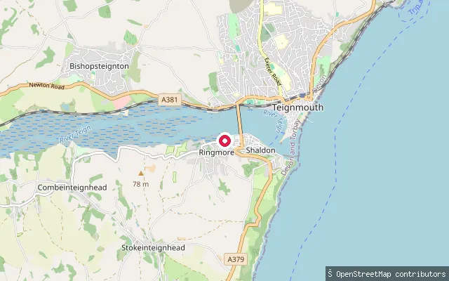
SeaRingmore Road slipway, Shaldon
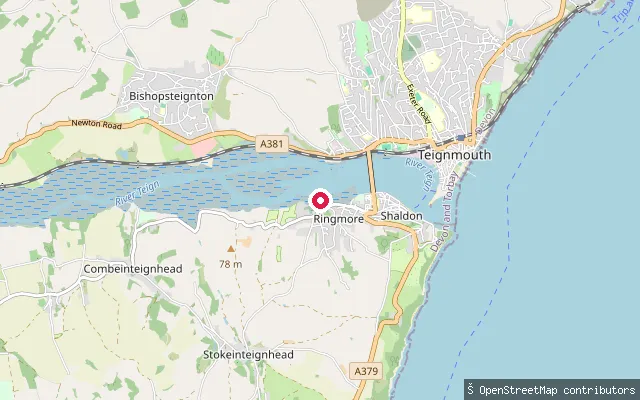
Devon, EnglandThis slipway sits on Ringmore Road in Shaldon, on the south bank of the Teign Estuary a short walk from Shaldon Bridge, the road crossing to Teignmouth.
 Sea
SeaThe Strand slipway, Shaldon
Devon, EnglandThis slipway sits on The Strand in Shaldon, on the south bank of the tidal Teign Estuary opposite Teignmouth. Shaldon looks north across the estuary mouth toward Teignmouth's harbour and quays, with a passenger ferry linking the two towns a short way downstream toward the sea. To the south, the Ness, a bold red sandstone headland, marks the seaward edge of Shaldon and the south side of the estuary entrance.
 Sea
SeaKingsbridge Estuary slipway
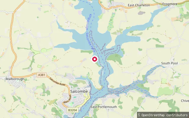
Devon, EnglandThis slipway launches onto the main channel of the Kingsbridge Estuary roughly 2km north of Salcombe town, on the sheltered tidal water between Batson Creek and Southpool Creek.
 Sea
SeaPolly Steps slipway
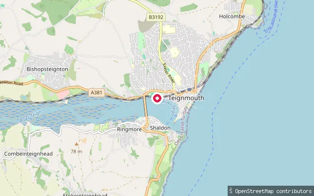
Devon, EnglandPolly Steps is one of Teignmouth's two designated public trailer-launch sites, run by Teignbridge District Council on the Teign Estuary shore just upriver of the town's working harbour and docks, opposite Shaldon across the water. The estuary is the tidal final stretch of the River Teign below Newton Abbot, crossed by Shaldon Bridge and dominated by a large mid-channel bank that dries at low water.
Save your own spots
Keep the places you launch, check the wind and shelter before you go, and log every paddle. Add a spot to the directory too, and other paddlers will find it. Free to start.
Some launch spots in this directory are seeded from open data. © OpenStreetMap contributors · Open Database Licence (ODbL) · Machine-readable copy