Paddleboarding spots in Devon
110 launch spots across Devon
This weekend’s calmest picks in Devon
See the ranked launch spots for the best conditions this weekend
Many inland waterways need a licence to paddle. Check with Paddle UK before you go.
Every mapped spot in Devon
Zoom in to split a cluster; open a pin for the spotMap of every spot in Devon
The interactive map opens on any device with JavaScript. The full list of launch spots is below.
Launch spots
Showing 24 of 110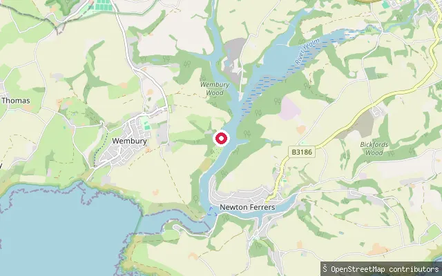 Sea
SeaOld Coastguard Cottages landing, River Yealm
Devon, EnglandA private quayside landing on the River Yealm estuary below Warren Point, serving a row of former coastguard cottages that are reachable only by boat or on foot from Wembury, across the water from Newton Ferrers and Noss Mayo. Holiday-letting descriptions of the cottages note their own quay with an outhaul mooring, licensed through the River Yealm Harbour Authority and usable at all states of the tide.
 Sea
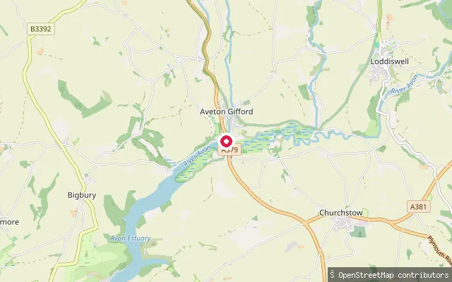
SeaOak Park Farm put-in (South Hams)
Devon, EnglandThis slipway launches onto the Avon Estuary just below Aveton Gifford, South Hams, close to where the River Avon becomes tidal. The Bantham Estate administers around three-quarters of the tidal river between Bantham and Aveton Gifford, including its moorings and sporting rights.
 Sea
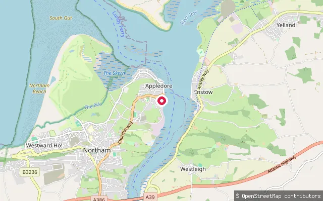
SeaAppledore slipway, New Quay Street
Devon, EnglandThis slipway on New Quay Street launches onto the Torridge estuary at Appledore, close to where the Torridge meets the Taw before Bideford Bay. Appledore's waterfront, developed around a quay built in 1845, is home to two pilot gig rowing clubs whose crews compete at the world championships in the Isles of Scilly.
 Sea
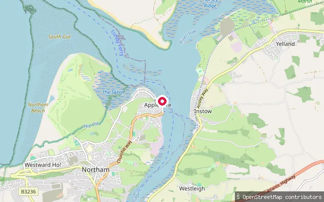
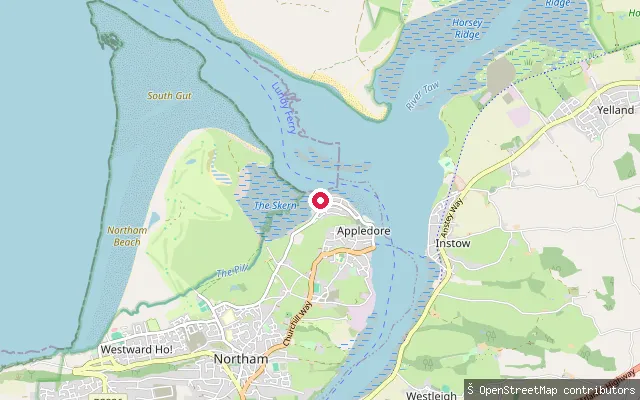
SeaAppledore Quay slipway
Devon, EnglandThis is the Appledore Quay slipway also mapped as a separate node 11 metres away; it launches onto the Torridge estuary and serves the seasonal foot ferry across to Instow. OpenStreetMap records a photograph of the slipway taken in 2021.
 Sea
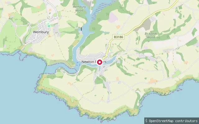
SeaAppledore slipway, Irsha Street
Devon, EnglandThis slipway sits on Irsha Street, at the exposed, north-western tip of Appledore where the Taw and Torridge combine and drain west across the Bideford Bar into Bideford Bay. This is the more open, seaward side of the village, in contrast with the sheltered Torridge-side quay around the corner.
 Sea
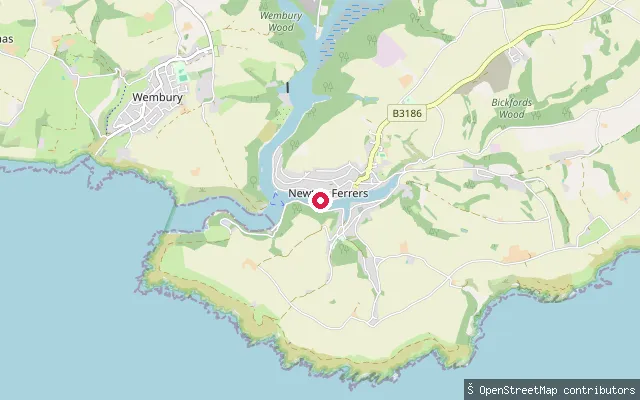
SeaNewton Ferrers slipway, Newton Creek
Devon, EnglandA slipway on Newton Creek, the tidal eastern arm of the River Yealm estuary at Newton Ferrers, facing Noss Mayo across the water. The wider estuary is a ria, its high sides and the sand bar across its mouth taking some of the wind and wave energy out of the water reaching this far upstream.
 Sea
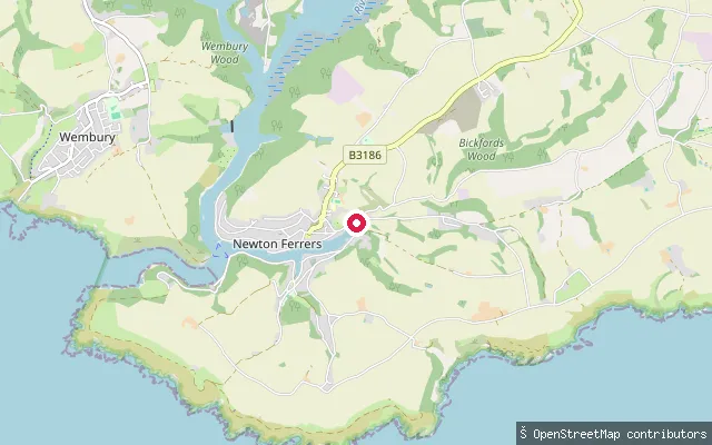
SeaNewton Creek slipway, Newton Ferrers
Devon, EnglandThe Brook is a hard beach and slipway on Newton Creek, the tidal western arm of the River Yealm estuary at Newton Ferrers, opposite Noss Mayo. The creek dries out completely away from high water. The wider estuary lies within the South Devon Area of Outstanding Natural Beauty and is designated a Special Area of Conservation and a Site of Special Scientific Interest, functioning as a bass hatchery.
 Sea
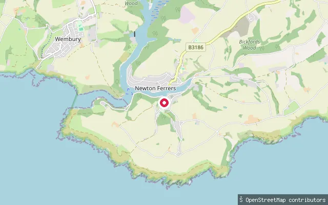
SeaNewton and Noss put-in (South Hams)
Devon, EnglandThis slipway launches onto Newton Creek, the arm of the River Yealm estuary that separates Newton Ferrers on its northern bank from Noss Mayo to the south, South Hams. At low tide two ancient man-made causeways, the Newton Voss and Noss Voss, cross the mud between the two villages.
 Sea
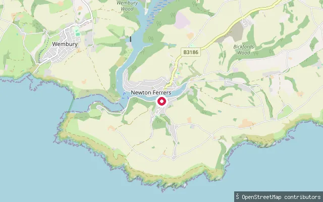
SeaNoss Mayo slipway, Newton Creek
Devon, EnglandNewton Creek is a narrow tidal arm of the River Yealm estuary in the South Hams, running between Noss Mayo and Newton Ferrers before opening into the wider estuary and the sea at Wembury Bay. It lies within the Plymouth Sound and Estuaries Special Area of Conservation, and Wide Slip is the public landing on the creek's south bank at Noss Mayo.
 Sea
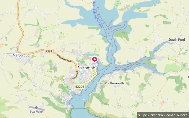
SeaPope's Quay slipway, Newton Creek
Devon, EnglandPope's Quay sits on the Noss Mayo (south) bank of Newton Creek, a tidal arm of the River Yealm estuary that separates the villages of Newton Ferrers and Noss Mayo in the South Hams. The creek dries out extensively to mud away from high water, and the wider estuary is regulated throughout by the River Yealm Harbour Authority.
 Sea
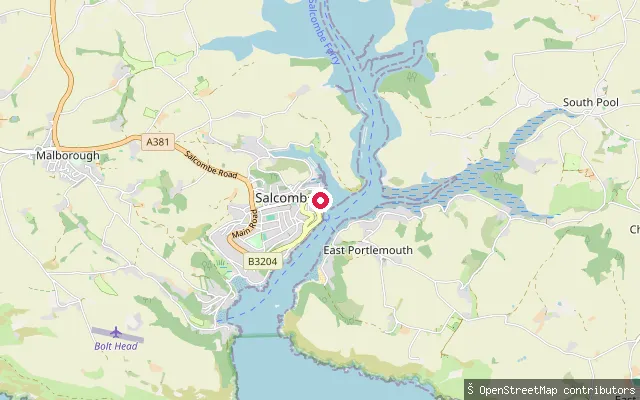
SeaBatson Creek slipway
Devon, EnglandThis slipway at Batson Quay on Gould Road launches onto Batson Creek, a tidal side-channel of the Kingsbridge Estuary north-east of Salcombe town centre, run jointly by South Hams District Council and Salcombe Harbour Authority alongside the adjoining Batson Boatpark.
 Sea
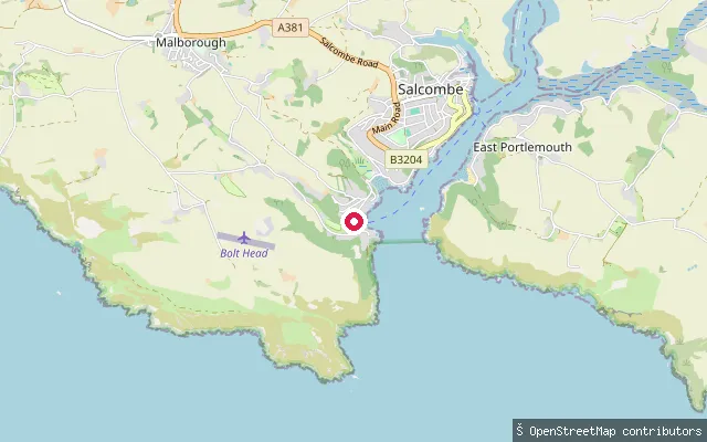
SeaSalcombe Lifeboat Station slipway
Devon, EnglandThis slipway serves Salcombe Lifeboat Station on the town's waterfront, launching onto the sheltered main channel of the Kingsbridge Estuary. It has a metal launch surface and is marked on nautical charts as a small-craft facility.
 Sea
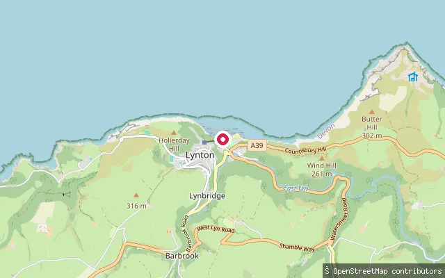
SeaSouth Sands slipway
Devon, EnglandThis slipway sits at South Sands, a Blue Flag beach near the mouth of the Kingsbridge Estuary on the western shore below Salcombe town. A ferry, including the amphibious 'Sea Tractor' at low tide, links South Sands to the town.
 Sea
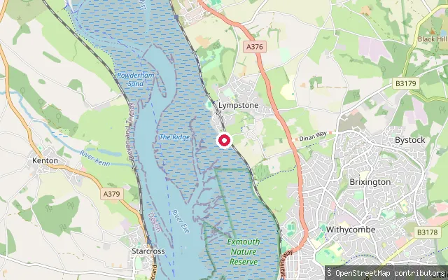
SeaLynmouth Harbour slipway
Devon, EnglandLynmouth's small harbour sits where the East and West Lyn rivers meet the Bristol Channel, in a gorge below Lynton. The original harbour and boat house were destroyed in the catastrophic flood of August 1952 and have since been rebuilt; the slipway on Riverside Road gives tidal access from the harbour into the channel.
 Sea
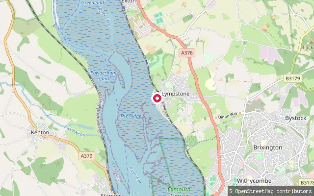
SeaLympstone put-in (East Devon)
Devon, EnglandThis slipway is on the Exe Estuary shore south of Lympstone village, on a section of the east bank close to the Commando Training Centre Royal Marines base. It connects to Sowden Lane and the coastal path running along the estuary.
 Sea
SeaLympstone put-in (East Devon)
Devon, EnglandThis concrete slipway is at Lympstone Harbour on the Exe Estuary, a small tidal harbour at the mouth of Wotton Brook, set between red breccia cliffs on the estuary's east shore. Lympstone Sailing Club, founded in 1947, operates from the harbour.
 Sea
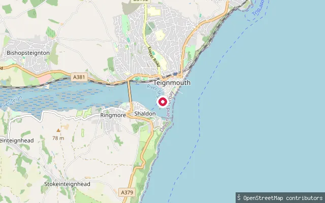
SeaLifeboat Lane
Devon, EnglandLifeboat Lane is a lit slipway and service road on Teignmouth's estuary-facing shore, close to the town's back beach. Nautical charts mark it as a small craft facility for launching onto the Teign Estuary.
 Sea
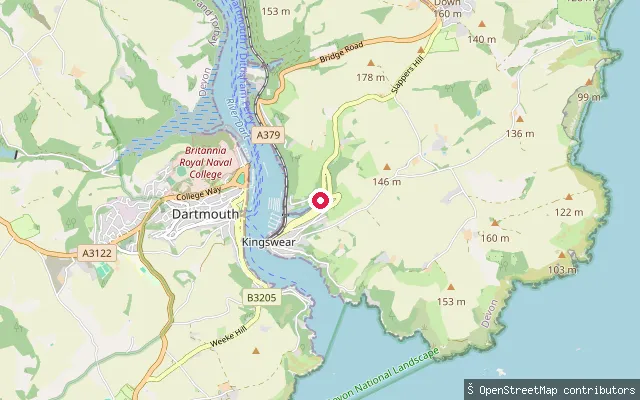
SeaHoodown Lane slipway, Kingswear
Devon, EnglandA slipway off Hoodown Lane on the River Dart estuary near Kingswear, in the stretch of moorings and boatyards between the village and Old Mill Creek.
 Sea
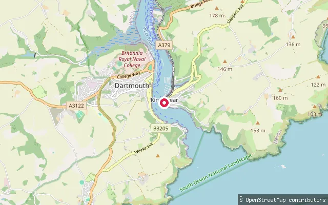
SeaKingswear slipway
Devon, EnglandA cobbled slipway in Kingswear village, on the east bank of the River Dart estuary near the harbour mouth opposite Dartmouth.
 Sea
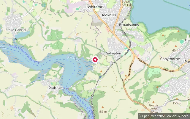
SeaDartside Quay
Devon, EnglandDartside Quay is a private boatyard slipway on Galmpton Creek, a tidal tributary of the River Dart between Dittisham and Kingswear, about three miles upriver from Dartmouth.
 Lake
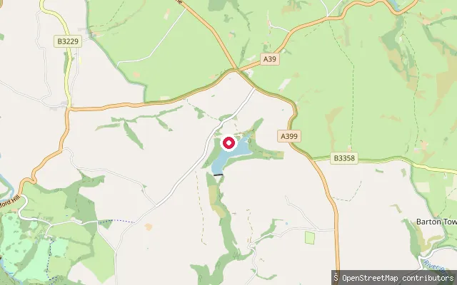
LakeWistlandpound Reservoir jetty
Devon, EnglandWistlandpound Reservoir is an 18-hectare South West Water reservoir on the edge of Exmoor National Park near Kentisbury and Blackmoor Gate, jointly managed by Forestry England and the South West Lakes Trust. The Calvert Trust Exmoor, whose activity centre sits beside the reservoir, holds exclusive access to the water for its own watersports programme.
 Sea
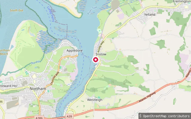
SeaInstow slipway (Marine Parade)
Devon, EnglandThis slipway launches onto the Taw-Torridge estuary at Instow, where the two rivers meet before reaching Bideford Bay. Sandbanks at the estuary mouth cut most of the ocean swell, and the sheltered water is used for windsurfing, kitesurfing, canoeing and kayaking. A seasonal foot ferry to Appledore runs from Instow Quay, timed to two hours either side of high tide.
 Sea
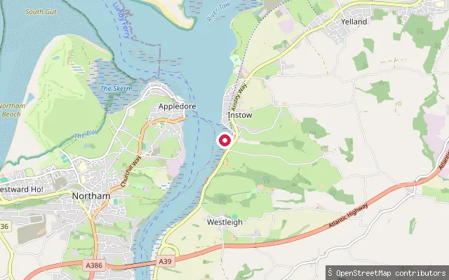
SeaInstow slipway
Devon, EnglandThis second slipway sits about 200 metres south of Instow's Marine Parade slipway, on the same stretch of Taw-Torridge estuary shoreline. The estuary here is sheltered by sandbanks at its mouth, and North Devon Yacht Club is based in the village.
 Lake
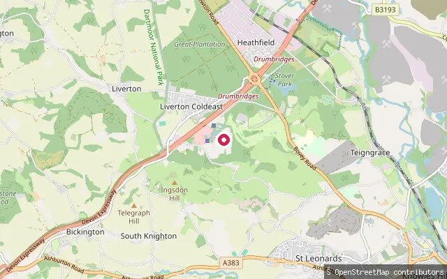
LakeTrago Mills lake slipway, Bickington
Devon, EnglandThis slipway is mapped beside one of the ornamental lakes on the Trago Mills retail and leisure site at Bickington, near Newton Abbot, where the miniature Bickington Steam Railway loops around three small lakes. Trago's family fun park, which included these lakes, closed at the end of 2025, leaving only the miniature railway running, so public paddling access here is doubtful.
Save your own spots
Keep the places you launch, check the wind and shelter before you go, and log every paddle. Add a spot to the directory too, and other paddlers will find it. Free to start.
Some launch spots in this directory are seeded from open data. © OpenStreetMap contributors · Open Database Licence (ODbL) · Machine-readable copy