Paddleboarding spots in Devon
66 launch spots across Devon
Explore our top picks in Devon
Browse the launch spots on this weekend’s page
Many inland waterways need a licence to paddle. Check with Paddle UK before you go.
Every mapped spot in Devon
Zoom in to split a cluster; open a pin for the spotMap of every spot in Devon
The interactive map opens on any device with JavaScript. The full list of launch spots is below.
Launch spots
Showing 24 of 66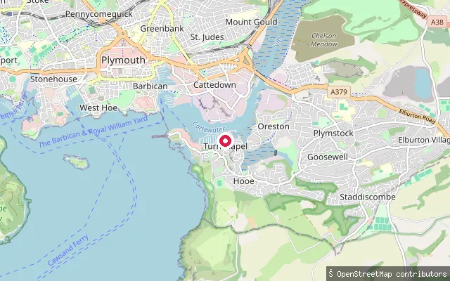 Sea
Turnchapel put-in (Plymouth)
Devon, EnglandThis put-in is on the Cattewater shoreline at the eastern edge of Turnchapel, close to where mudflats mark the approach to Hooe Lake. OpenStreetMap tags the access road here as having no footway.
 Sea
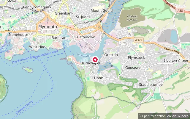
Oreston put-in (Plymouth), Barton Road
Devon, EnglandThis put-in sits on the same Barton Road shoreline as a near-duplicate entry about 16 metres away, on the edge of Oreston on the Cattewater's southern bank.
 Sea
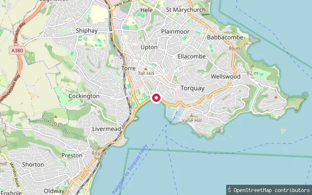
Torre Abbey Sands put-in (Torquay)
Devon, EnglandThis slipway sits on Torre Abbey Sands, the beach that runs along Torbay Road between Torquay harbour and Corbyn Head, in Devon. It opens onto Tor Bay rather than the enclosed harbour, close to Torquay railway station.
 Sea
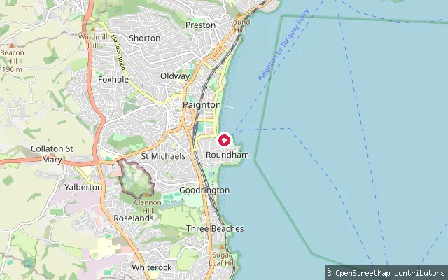
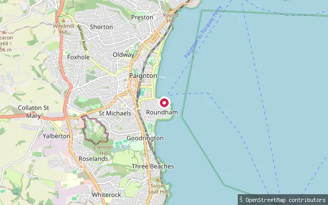
North Quay put-in (Paignton Harbour)
Devon, EnglandThis slipway is on Roundham Road by the North Quay of Paignton Harbour, Devon. Like the rest of the harbour it dries at low tide, so the slipway is usable only around two and a half hours either side of high water.
 Sea
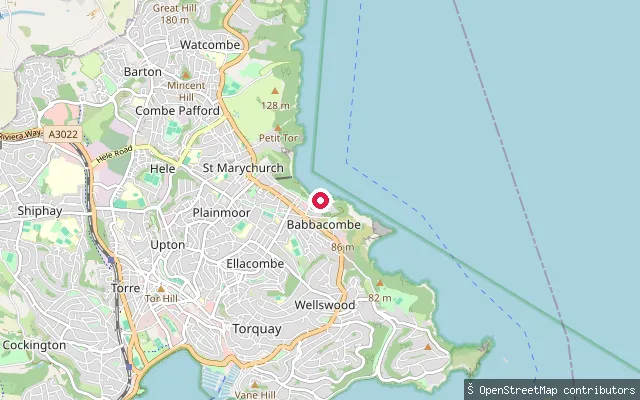
South Quay put-in (Paignton Harbour)
Devon, EnglandThis slipway is on South Quay in Paignton Harbour, Devon. The harbour dries out at low tide, so Tor Bay Harbour Authority notes its slipway is usable only around two and a half hours either side of high water; the authority's wider paddling policy also points paddlers to open beaches over the enclosed harbour.
 Sea
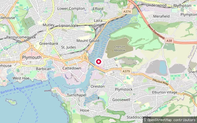
Babbacombe put-in (Torquay)
Devon, EnglandThis slipway is on Beach Road below Babbacombe Downs, launching onto Babbacombe Bay, the stretch of coast running north from Hope's Nose toward the Teign Estuary. The rock, pebble and sand beach has a harbour wall, with the Cary Arms pub alongside.
 Sea
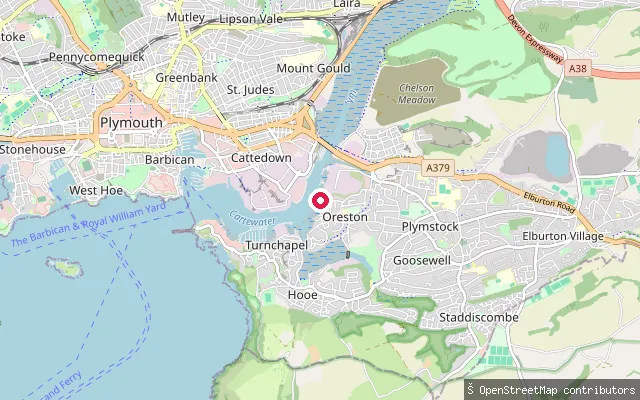
Oreston put-in (Plymouth)
Devon, EnglandThis slipway lies on the Cattewater, the tidal stretch where the River Plym meets Plymouth Sound, close to Oreston on the south bank. Oreston grew up as a fishing and limestone-quarrying village on the Cattewater and is now a Plymouth suburb with its own quay.
 Sea
Oreston Slipway
Devon, EnglandOreston Slipway is a concrete slipway on The Quay in Oreston, on the south side of the Cattewater, the tidal reach where the River Plym meets Plymouth Sound.
 River
Mount Gould put-in (Plymouth)
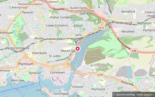
Devon, EnglandA slipway on the Laira, the tidal upper reach of the River Plym, beside Plymouth Amateur Rowing Club at Arnold's Point. The Laira runs north from Laira Bridge to the A38 dual carriageway at Marsh Mills, with Saltram on the far bank.
 Sea
Richmond Walk slipway (Plymouth)
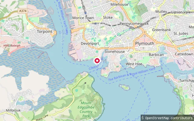
Devon, EnglandA public slipway at the end of Richmond Walk in Stonehouse, where the lower Hamoaze meets Plymouth Sound. Plymouth City Council owns it. Mayflower Marina lies to the south and Blagdon's Boatyard to the west.
 Sea
Woodbury put-in (East Devon)
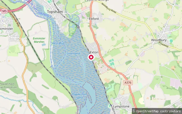
Devon, EnglandThis slipway is on the Exe Estuary at Exton, a small settlement on the estuary's east shore between Topsham and Lympstone. Woodbury village itself lies about 3km inland and is not the water here.
 Sea
Wonwell Slipway
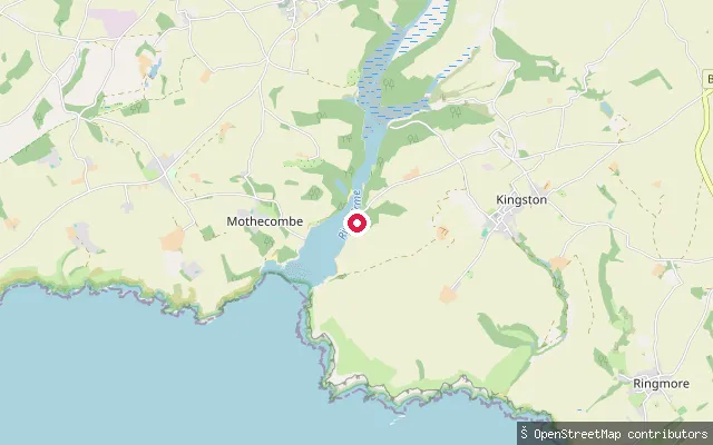
Devon, EnglandWonwell Slipway sits on the eastern bank of the River Erme estuary mouth, opposite Mothecombe, near the hamlet of Kingston in the South Hams. The Erme discharges into Bigbury Bay between the Yealm and the Avon, and above Sequer's Bridge the estuary forms a ria with extensive saltmarsh and mudflats uncovered at low tide. The estuary and its shores lie within the privately owned Flete Estate, which lists the water as suitable for paddle boarding, kayaking and canoeing.
 Sea
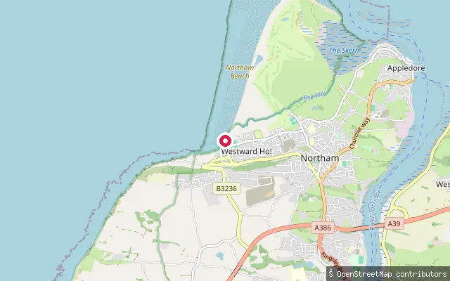
Westward Ho! slipway, Westbourne Terrace
Devon, EnglandA concrete slipway at the south end of Westward Ho! beach, off Westbourne Terrace, on the open coast of Bideford Bay in north Devon.
 Sea
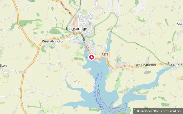
Waterside Walk
Devon, EnglandWaterside Walk is a public footpath and slipway, recorded as Kingsbridge Footpath 10, giving access to the Kingsbridge Estuary close to the town at the tidal head of the ria.
 Sea
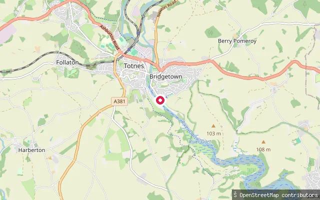
Totnes slipway, Riverside Walk
Devon, EnglandA slipway on the tidal River Dart at Totnes, on the Riverside Walk beside the town's 'Measured Mile' reach downstream of Totnes weir, the seventeenth-century structure that marks the head of the estuary.
 Sea
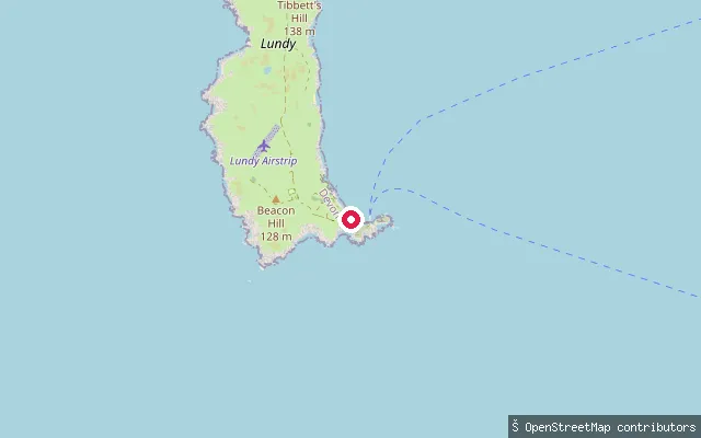
Lundy Landing Beach slipway
Devon, EnglandThe Landing Beach is Lundy Island's only boat landing point, on the south-east side of the island in the Bristol Channel, about 17 km off the North Devon coast. Its shore is the only stretch of coarse sand and slate shale on Lundy, and the water around it lies within the Lundy Marine Conservation Zone.
 Sea
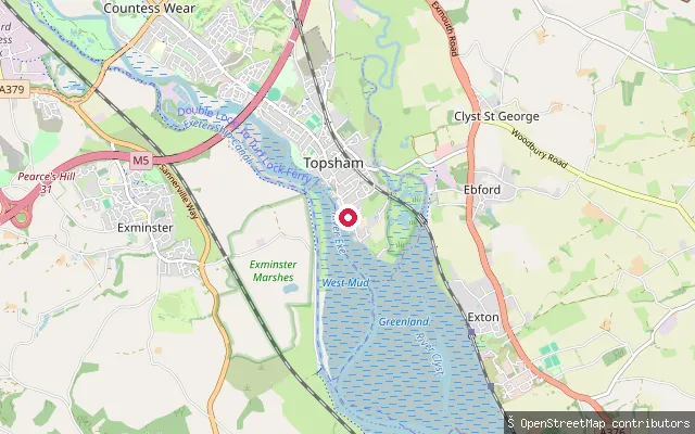
Fisherman's Causeway slipway
Devon, EnglandFisherman's Causeway is a slipway on the tidal Exe Estuary at Topsham, where the Strand meets Higher Shapter Street, beside the Grade II listed K6 telephone box, now a community book exchange. Topsham is a former port town on the river's east bank, just north of its confluence with the River Clyst. It grew on its sheltered position on the Exe through fishing, shipbuilding and overseas trade in the 17th and 18th centuries.
 Sea
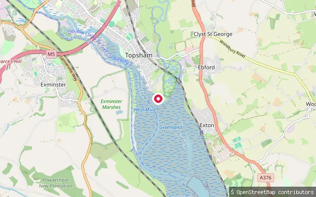
Topsham Lock Cottage put-in (Exeter)
Devon, EnglandThis slipway is on the Exe Estuary at Topsham's Goat Walk, the riverside path along the town's waterfront looking out over the tidal river towards Exminster Marshes. Topsham sits on the estuary's east bank, just north of the River Clyst confluence. The estuary runs some 12 kilometres from its harbour mouth at Pole Sands to Countess Wear, with a further 3 kilometres on to Exeter, and is protected from the open sea by the natural sand spits of Dawlish Warren and Pole Sands.
 Sea
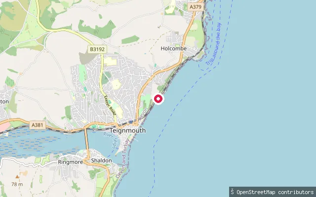
Eastcliff Walk slipway, Teignmouth
Devon, EnglandTeignmouth lies on the English Channel coast, about 12 miles south of Exeter. This slipway sits on Eastcliff Walk on the open coast north-east of the town's harbour mouth, near Holcombe, launching onto the Channel rather than into the sheltered Teign Estuary.
 Sea
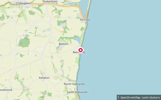
Beesands slipway
Devon, EnglandBeesands is a shingle beach on the open coast of Start Bay, on the South Devon coast between Hallsands and Torcross. A separate freshwater lake, Widdicombe Ley, lies inland behind the village and is not reached from this slipway.
 Sea
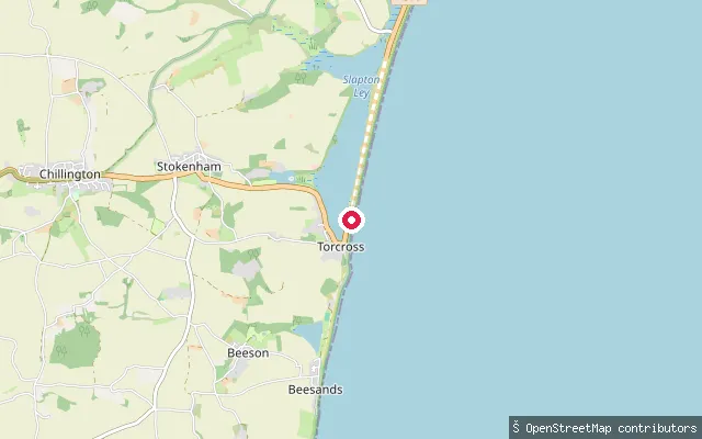
Torcross slipway
Devon, EnglandThis slipway sits at the north end of the Torcross seafront promenade, giving access to Start Bay along the shingle sweep of Slapton Sands. The freshwater Slapton Ley National Nature Reserve lies on the landward side of the coast road here and is a distinct body of water from the sea at this launch point.
 Sea
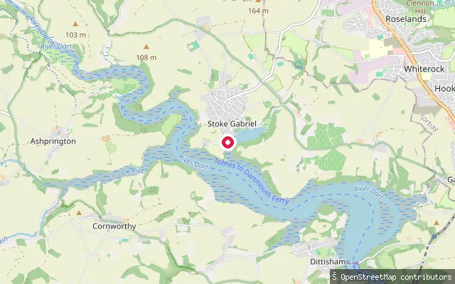
Stoke Gabriel slipway
Devon, EnglandA concrete slipway reached by a short service road off Mill Hill in Stoke Gabriel, a village on a tidal creek of the River Dart between Totnes and Dartmouth. The village's separate Mill Pool is impounded behind a weir and is not the same water as the tidal creek this slipway gives onto.
 Sea
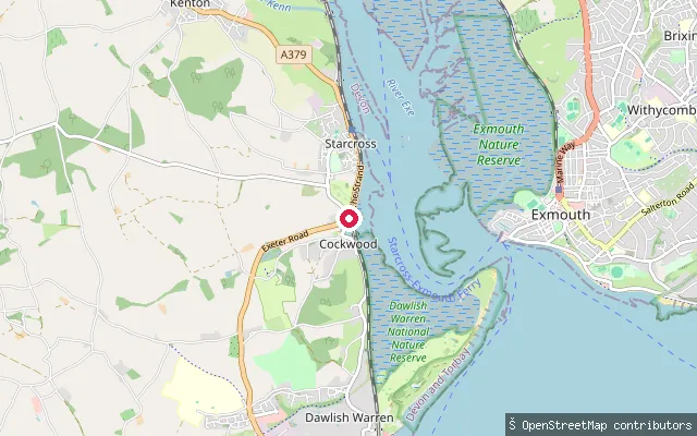
Starcross Strand slipway
Devon, EnglandStarcross Strand slipway launches into the tidal Exe Estuary on its west shore, with Exmouth on the far bank. The estuary dries at low tide to broad mud and sand flats that support at least 20,000 wintering waterfowl and waders, part of the wider Site of Special Scientific Interest and Special Protection Area that covers the whole estuary. Powderham Castle's parkland and its restored Belvedere Tower rise on the hillside upstream, and the sand spit at Dawlish Warren closes off the estuary mouth to the south.
 Canal
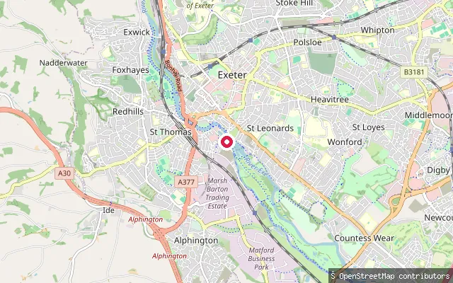
St Leonards put-in (Exeter)
Devon, EnglandThis slipway is in Exeter Canal Basin, off Haven Road, at the head of the Exeter Ship Canal, which runs south from the city to the Exe Estuary.
Save your own spots
Keep the places you launch, check the wind and shelter before you go, and log every paddle. Add a spot to the directory too, and other paddlers will find it. Free to start.
Some launch spots in this directory are seeded from open data. © OpenStreetMap contributors · Open Database Licence (ODbL) · Machine-readable copy