Paddleboarding spots in North Yorkshire
50 launch spots across North Yorkshire
This weekend’s calmest picks in North Yorkshire
See the ranked launch spots for the best conditions this weekend
Many inland waterways need a licence to paddle. Check with Paddle UK before you go.
Every mapped spot in North Yorkshire
Zoom in to split a cluster; open a pin for the spotMap of every spot in North Yorkshire
The interactive map opens on any device with JavaScript. The full list of launch spots is below.
Launch spots
Showing 24 of 50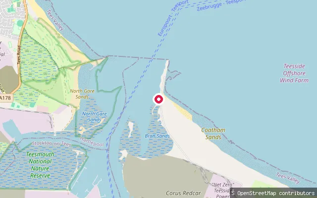 Sea
SeaPaddy's Hole slipway
North Yorkshire, EnglandPaddy's Hole is a small, artificial harbour built from slag on the south side of the Tees estuary at South Gare, near Warrenby. It is tidal, drying to mud at low water and leaving moored boats aground until the tide returns.
 Sea
SeaRedcar put-in
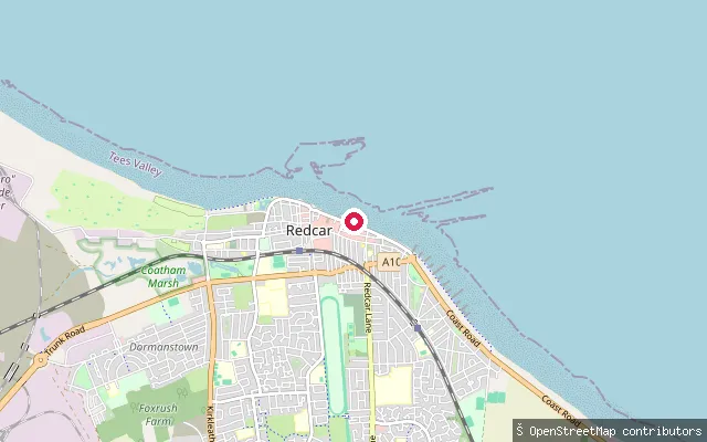
North Yorkshire, EnglandThis launch is the seaward end of the Royal Slipway, a mapped slipway running from Redcar's Esplanade onto the sandy beach a short distance from the RNLI lifeboat station. Tees Bay runs from the South Gare breakwater at the Tees mouth south past Redcar to Saltburn.
 River
RiverNun Monkton put-in
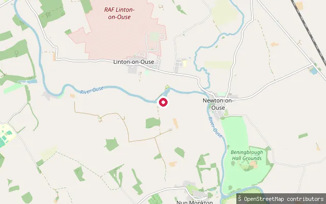
North Yorkshire, EnglandNun Monkton stands at the confluence of the River Ouse and River Nidd, about 13km northwest of York. This slipway on the village's west bank gives access to the Ouse, which remains navigable for river traffic for many miles from this point.
 Canal
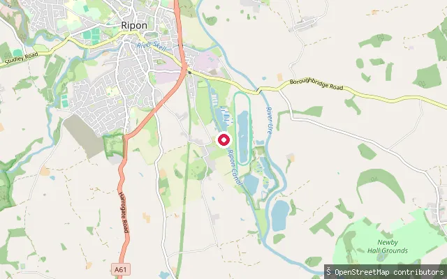
CanalLittlethorpe put-in
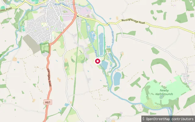
North Yorkshire, EnglandThe Ripon Canal runs 2.3 miles with three locks from Ripon Basin to its junction with the River Ure at Oxclose Lock, passing near Littlethorpe. The Canal and River Trust manages the canal and its locks, and paddlers need a CRT waterways licence or British Canoeing/Paddle UK membership to use it.
 Canal
CanalLittlethorpe put-in
North Yorkshire, EnglandThe Ripon Canal runs 2.3 miles with three locks from Ripon Basin to its junction with the River Ure at Oxclose Lock, passing near Littlethorpe. The Canal and River Trust manages the canal and its locks, and paddlers need a CRT waterways licence or British Canoeing/Paddle UK membership to use it.
 River
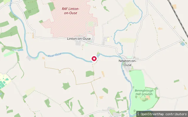
RiverLinton-on-Ouse put-in
North Yorkshire, EnglandThe River Ure becomes the River Ouse a short way upstream of here, at Willow Hole where Ouse Gill Beck joins. The put-in sits by Linton Lock, an 18th-century lock with its own cut and landing that bypasses a weir on the navigation towards York.
 Sea
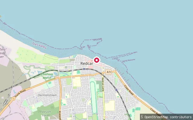
SeaLifeboat Slipway
North Yorkshire, EnglandThis slipway sits beside Redcar Lifeboat Station on the Esplanade, launching onto the open North Sea coast of Tees Bay. Because the coast here is exposed, the RNLI launches its lifeboats with a purpose-built tractor rather than from a fixed ramp into sheltered water.
 River
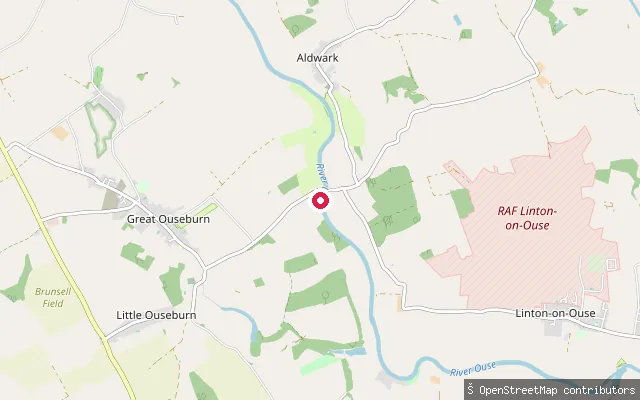
RiverKirby Hall put-in
North Yorkshire, EnglandThis stretch of the River Ure runs between Great and Little Ouseburn, part of the Canal and River Trust's Ure Navigation, which requires a waterways licence. Kirby Hall is a historic estate and civil parish beside the river here, recorded since the Domesday Book, and names the surrounding land rather than the water.
 Sea
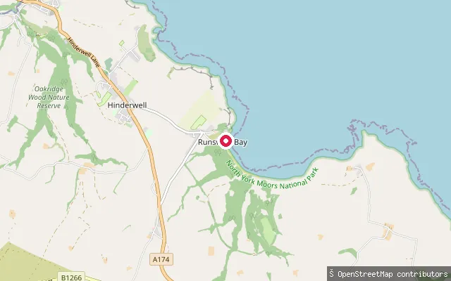
SeaRunswick Bay slipway
North Yorkshire, EnglandThis slipway launches onto the North Sea at Runswick Bay, close to the Runswick Bay Rescue Boat station. The independent rescue service, re-formed in 1982 after the RNLI moved its lifeboat away in 1978, now runs a rigid inflatable from the former tractor shed.
 Sea
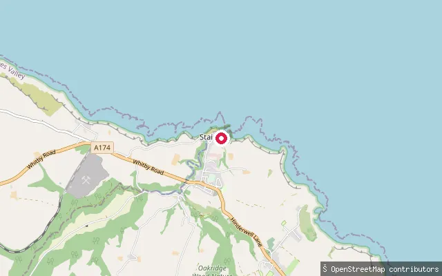
SeaStaithes Beck slipway
North Yorkshire, EnglandThis slipway sits a short distance from Seaton Garth in Staithes, launching onto Staithes Harbour where Staithes Beck meets the sea between the village's cliffs. As at the neighbouring slipway, the Staithes Harbour Commissioners maintain navigation and dredging within the harbour and beck.
 Sea
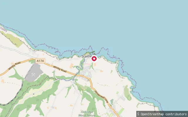
SeaSeaton Garth slipway (Staithes)
North Yorkshire, EnglandThis slipway launches onto Staithes Harbour at Seaton Garth, the flat harbourside land below the cliffs where Staithes Beck meets the sea. The Staithes Harbour Commissioners hold statutory powers to dredge the harbour and beck and to regulate navigation there.
 Lake
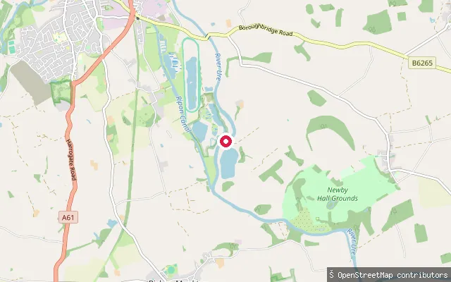
LakeGivendale put-in
North Yorkshire, EnglandGivendale Lake is a small lake near Ripon, close to the hamlet of Givendale. This node marks a second mapped access point roughly 100 metres from another slipway on the same lake shore. No governance, ownership or public-access information for the lake could be verified.
 Sea
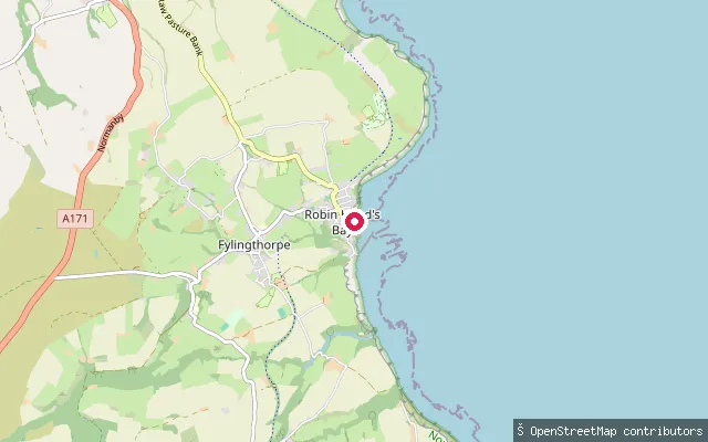
SeaRobin Hood's Bay slipway (Way Foot)
North Yorkshire, EnglandRobin Hood's Bay is a broad, curving bay on the North Yorkshire coast, roughly midway between Whitby, 6 miles to the north, and Scarborough, 15 miles to the south, enclosed by Ness Point to the north and Old Peak, near Ravenscar, to the south. This slipway launches into the bay's northern corner, at the foot of the village.
 Sea
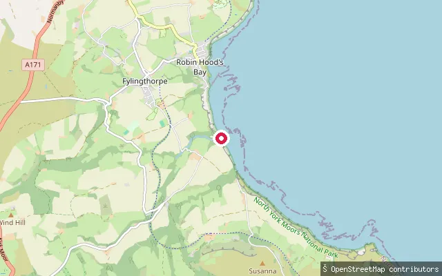
SeaBoggle Hole slipway (Mill Bank)
North Yorkshire, EnglandThis slipway is at the seaward end of Mill Bank, a lane that drops steeply from the Bridge Holm Road car park to the shore near Boggle Hole, on the southern arc of Robin Hood's Bay. The lane's tarmac gives way to stone setts that form a slipway onto a foreshore of sand, boulders and wave-cut rock platform, with the sea reaching the base of the lane at high tide.
 Sea
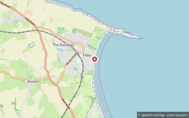
SeaFiley seafront slipway (south of Coble Landing)
North Yorkshire, EnglandThis is a slipway on Filey seafront, about 300 metres south of Filey Coble Landing, leading onto the sand of Filey Bay. OSM records no charge for using the slipway itself, though the original harvested name 'Filey put-in' did not distinguish it from the other access points nearby.
 Sea
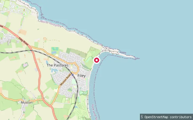
SeaFiley seafront slipway (north of Coble Landing)
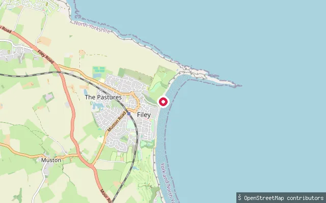
North Yorkshire, EnglandThis slipway lies on Filey's northern seafront, roughly 500 metres north of Filey Coble Landing and short of Filey Brigg, launching onto Filey Bay. Filey Brigg, the rocky headland further north, gives the bay some shelter from northerly winds but leaves it exposed to easterly and southerly weather.
 Sea
SeaFiley Coble Landing (north slipway)
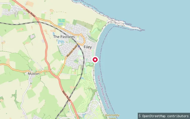
North Yorkshire, EnglandThis node marks the northern part of Filey Coble Landing, about 170 metres north of the main slipway node, on Filey seafront where it launches into Filey Bay. OSM records it as part of the Coble Landing way, the traditional launch point for the town's fishing cobles and around two dozen leisure craft.
 Sea
SeaFiley seafront slipway (Filey Park)
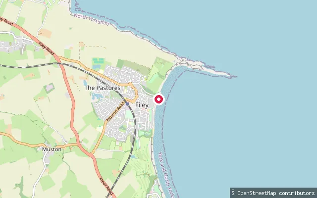
North Yorkshire, EnglandThis slipway opens onto Filey Bay, a broad five-mile sweep of sand on the North Yorkshire coast bounded to the north by the Filey Brigg headland and the seabird cliffs of the Flamborough and Filey Coast Special Protection Area. It sits on the beach's southern promenade, below the area OSM labels Filey Park.
 Sea
SeaFiley Coble Landing
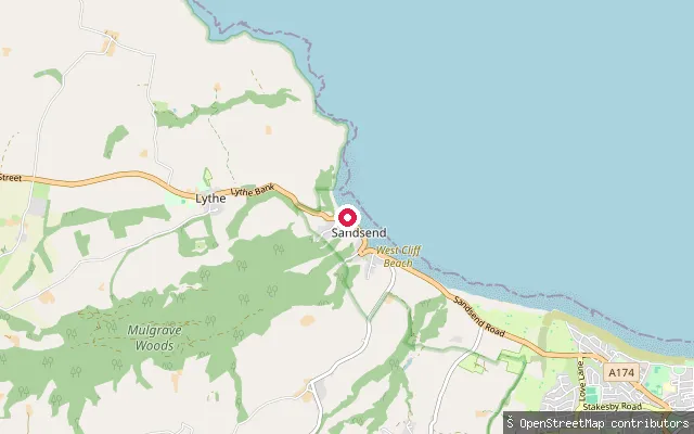
North Yorkshire, EnglandFiley Coble Landing sits on Filey Bay, on the North Sea coast, with Filey Brigg projecting out to sea a mile or so to the north.
 Sea
SeaFairfax Farm put-in (Sandsend)
North Yorkshire, EnglandThis slipway sits on the open coast between Sandsend and Whitby, launching onto the North Sea. Sandsend village, a short distance west, has two becks that reach the sea, Sandsend Beck and East Row Beck.
 Sea
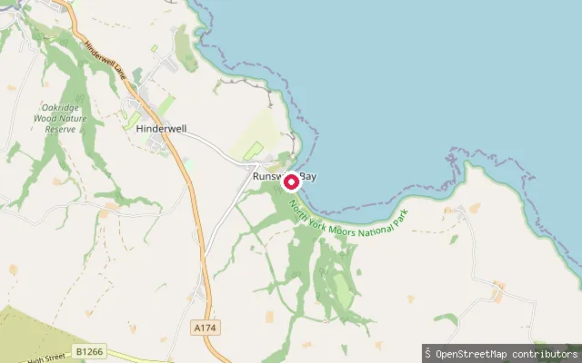
SeaRunswick Sands slipway
North Yorkshire, EnglandThis slipway launches onto the North Sea at the southern end of Runswick Bay, near Runswick Sands beach. The bay has hosted a lifeboat since 1866, first an RNLI station and, since 1982, the independent Runswick Bay Rescue Boat.
 Sea
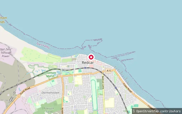
SeaDundas Slipway
North Yorkshire, EnglandDundas Slipway is a launch point on Redcar's seafront on the North Sea coast of Tees Bay, which stretches from the South Gare breakwater at the Tees mouth to Saltburn. The beach here is flat and sandy and Redcar's stretch has held a Marine Conservation Society water quality award.
 River
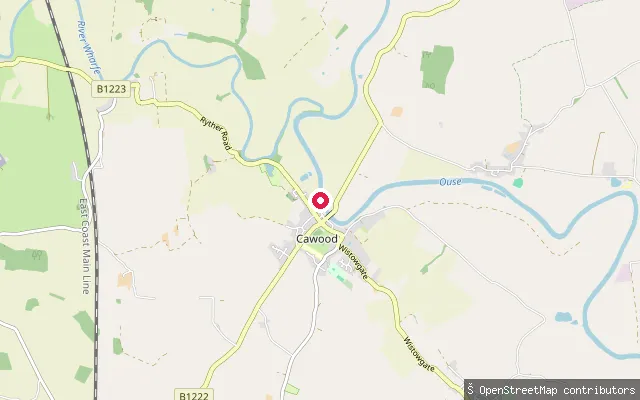
RiverCawood put-in
North Yorkshire, EnglandThis put-in is on the River Ouse at Cawood, a village south of York in the tidal reach of the river below Naburn Lock. Cawood Bridge, a swing bridge opened in 1872, crosses the river here on the site of a former ferry, and the riverside Ferry Inn offers nearby moorings.
 Canal
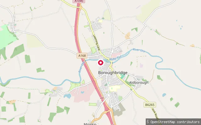
CanalBoroughbridge put-in
North Yorkshire, EnglandMilby Cut is an 850-metre artificial channel on the River Ure that bypasses Boroughbridge weir, running from the town to Milby Lock. The put-in sits beside Boroughbridge Marina on this stretch, part of the Canal and River Trust's Ure Navigation, which requires a waterways licence for canoes, kayaks and paddleboards.
Save your own spots
Keep the places you launch, check the wind and shelter before you go, and log every paddle. Add a spot to the directory too, and other paddlers will find it. Free to start.
Some launch spots in this directory are seeded from open data. © OpenStreetMap contributors · Open Database Licence (ODbL) · Machine-readable copy