Paddleboarding spots in North Yorkshire
32 launch spots across North Yorkshire
Explore our top picks in North Yorkshire
Browse the launch spots on this weekend’s page
Many inland waterways need a licence to paddle. Check with Paddle UK before you go.
Every mapped spot in North Yorkshire
Zoom in to split a cluster; open a pin for the spotMap of every spot in North Yorkshire
The interactive map opens on any device with JavaScript. The full list of launch spots is below.
Launch spots
Showing 24 of 32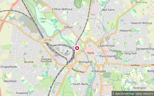 River
Marygate Landing
North Yorkshire, EnglandMarygate Public Landing is a public access point on the River Ouse at the foot of Marygate in central York, near Lendal Bridge. The City of York Council states the landing must remain publicly accessible and that no mooring is permitted there; the Canal and River Trust requires a waterways licence for paddle craft on this reach.
 River
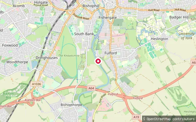
Fulford put-in
North Yorkshire, EnglandA launch point on the River Ouse at Fulford, on the east bank just south of York city centre, near the university rowing club moorings and launch ramp off St Oswald's Road.
 River
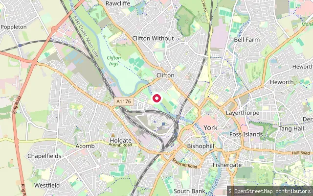
Clifton put-in (York)
North Yorkshire, EnglandThis put-in lies on the River Ouse by the Clifton suburb of York, close to Clifton Bridge. The river here is flanked by the Clifton, Rawcliffe and Poppleton Ings washland, an engineered flood-storage area whose sluice gates open to take Ouse floodwater above a set river level and protect York city centre.
 River
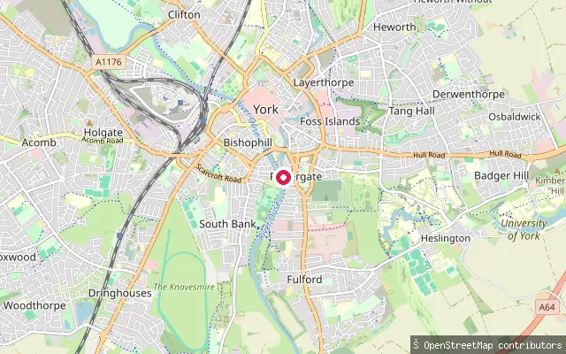
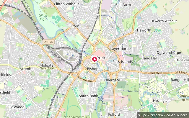
Blue Bridge Slipway
North Yorkshire, EnglandA public slipway onto the River Ouse at the bottom of Blue Bridge Lane in the Fishergate area of central York, one of four public slipways listed by City of York Council. The nearest car park is St George's Field.
 River
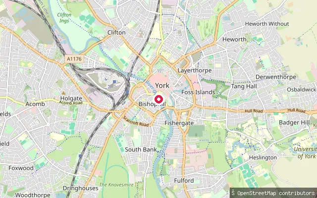
Bishophill put-in (York), North Street
North Yorkshire, EnglandAn unmarked slipway on the River Ouse on the Bishophill riverside, west bank, close to North Street in York city centre near Ouse Bridge.
 River
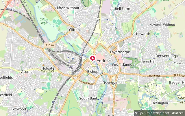
Bishophill put-in (York), South Esplanade
North Yorkshire, EnglandAn unmarked slipway on the River Ouse in Clementhorpe, part of the Bishophill riverside on the west bank of the river in central York, downstream of the city's main bridges.
 River
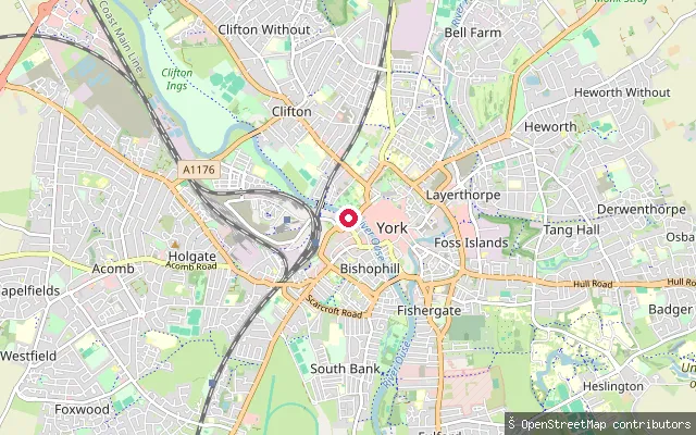
Bishophill put-in (York), Museum Street
North Yorkshire, EnglandAn unmarked slipway on the River Ouse near Museum Street in central York, at the northern end of the Bishophill riverside close to Lendal Bridge and Museum Gardens.
 River
Bishophill put-in (York)
North Yorkshire, EnglandThis put-in sits on the River Ouse in central York, on the west bank below the historic Bishophill area within the old city walls. The Canal and River Trust manages this reach and requires a waterways licence for canoes, kayaks and paddleboards, which a Paddle UK membership can cover.
 River
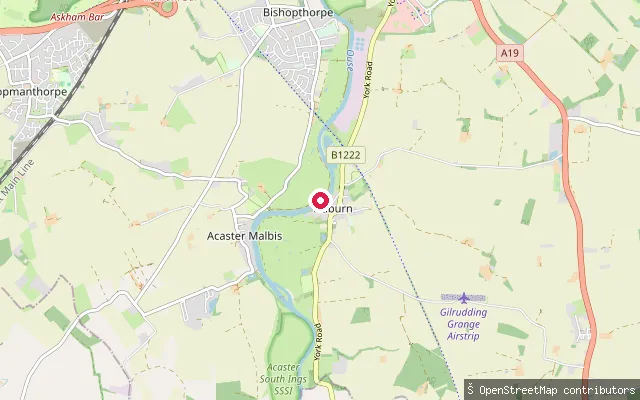
Acaster Malbis put-in, Ferry Lane, Naburn
North Yorkshire, EnglandA riverside access point on the River Ouse near Naburn, close to the site of the former Naburn ferry crossing, just above the tidal limit at Naburn Lock.
 River
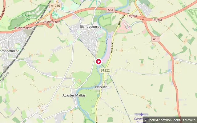
Acaster Malbis put-in, former Naburn Railway Bridge
North Yorkshire, EnglandAn unmarked slipway on the River Ouse at the site of the former Naburn Railway Bridge, a disused railway crossing on the west bank now carrying a footpath and cycleway. The bank here falls within Acaster Malbis parish, opposite Naburn.
 River
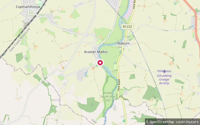
Acaster Malbis put-in
North Yorkshire, EnglandA put-in on the west bank of the River Ouse at Acaster Malbis. Naburn Lock, 500 yards downstream, marks the upstream limit of the tidal river.
 River
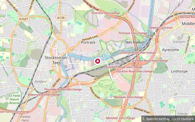
Thornaby put-in
North Yorkshire, EnglandThis slipway lies on the River Tees at Thornaby-on-Tees, just upstream of the Tees Barrage, which holds the river at a fixed, non-tidal level through Stockton-on-Tees. The Canal and River Trust manages this stretch of the river and requires a paddling licence, and the Tees Barrage International White Water Course sits alongside on the north bank.
 Sea
Staithes Harbour slipway
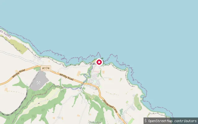
North Yorkshire, EnglandStaithes Harbour is a small drying tidal harbour on the North Yorkshire coast, formed where Staithes Beck meets the North Sea in a narrow cleft between high cliffs and overlooked by the headland of Cowbar Nab. This slipway is one of several public launch points inside the harbour.
 Lake
Scaling Dam Reservoir slipway
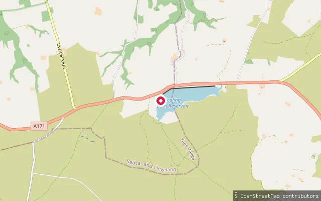
North Yorkshire, EnglandThis slipway launches onto Scaling Dam Reservoir, a small upland reservoir beside the A171 roughly halfway between Guisborough and Whitby, within the North York Moors National Park. It sits beside the clubhouse of Scaling Dam Sailing & Watersports Club.
 Sea
Lime Road Slipway
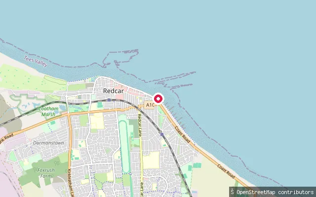
North Yorkshire, EnglandLime Road Slipway launches onto Redcar's beach at the eastern end of the seafront, on the North Sea coast of Tees Bay. Lime Road itself is a residential street in Redcar, not in New Marske, which lies further inland to the south.
 Sea
Whitby Marina slipway (upper harbour)
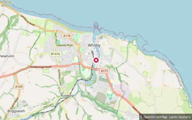
North Yorkshire, EnglandWhitby Marina occupies the tidal upper harbour of the River Esk, the yacht-berthing reach above the town's 1908 swing bridge, with the Parkol Marine Engineering shipyard and dry dock working the opposite bank. Downstream through the bridge lies Whitby's lower harbour, the fish quay and the piers guarding the entrance to the North Sea; upstream, the harbour's tidal limit is Ruswarp weir, about two miles inland.
 Sea
Turner Street Slipway
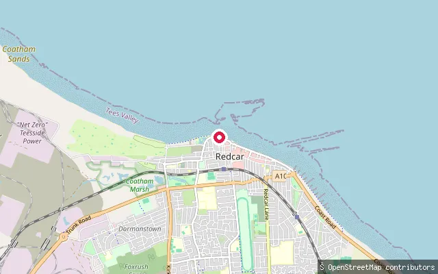
North Yorkshire, EnglandTurner Street Slipway launches onto Redcar's sandy beach at the western end of the town's seafront, on the North Sea coast that forms Tees Bay between the South Gare breakwater and Saltburn.
 Sea
Scarborough Harbour slipway
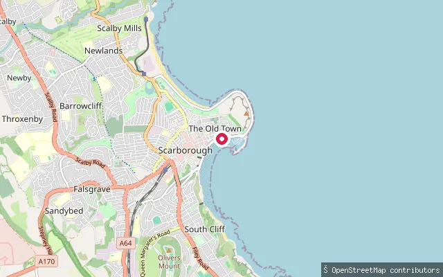
North Yorkshire, EnglandScarborough Harbour lies in the town's South Bay, enclosed by the West, Vincent and East piers below the castle headland, and opens onto the North Sea. This slipway is in the north-west corner of the inner harbour, off Sandside.
 Sea
Paddy's Hole slipway
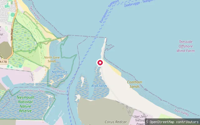
North Yorkshire, EnglandPaddy's Hole is a small, artificial harbour built from slag on the south side of the Tees estuary at South Gare, near Warrenby. It is tidal, drying to mud at low water and leaving moored boats aground until the tide returns.
 Sea
Redcar put-in
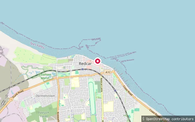
North Yorkshire, EnglandThis launch is the seaward end of the Royal Slipway, a mapped slipway running from Redcar's Esplanade onto the sandy beach a short distance from the RNLI lifeboat station. Tees Bay runs from the South Gare breakwater at the Tees mouth south past Redcar to Saltburn.
 River
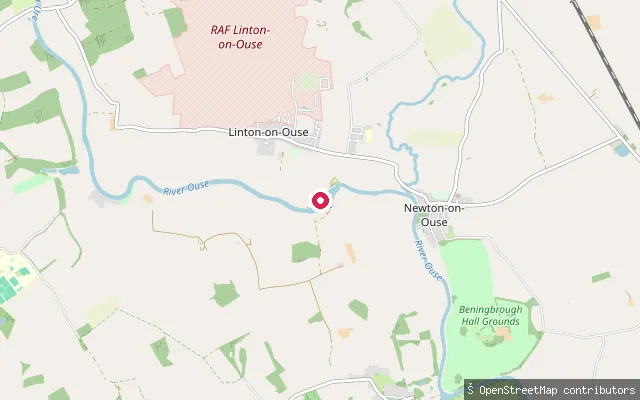
Linton-on-Ouse put-in
North Yorkshire, EnglandThe River Ure becomes the River Ouse a short way upstream of here, at Willow Hole where Ouse Gill Beck joins. The put-in sits by Linton Lock, an 18th-century lock with its own cut and landing that bypasses a weir on the navigation towards York.
 Sea
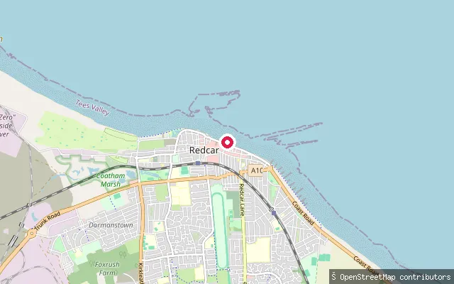
Lifeboat Slipway
North Yorkshire, EnglandA concrete slipway on Redcar seafront, beside Redcar Lifeboat Station. It opens onto the open North Sea coast of Tees Bay.
 Sea
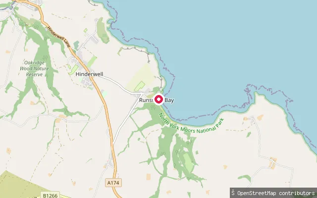
Runswick Bay slipway
North Yorkshire, EnglandThis slipway launches onto the North Sea at Runswick Bay, close to the Runswick Bay Rescue Boat station. The independent rescue service, re-formed in 1982 after the RNLI moved its lifeboat away in 1978, now runs a rigid inflatable from the former tractor shed.
 Sea
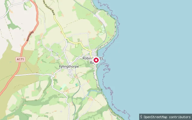
Robin Hood's Bay slipway (Way Foot)
North Yorkshire, EnglandRobin Hood's Bay is a broad, curving bay on the North Yorkshire coast, roughly midway between Whitby, 6 miles to the north, and Scarborough, 15 miles to the south, enclosed by Ness Point to the north and Old Peak, near Ravenscar, to the south. This slipway launches into the bay's northern corner, at the foot of the village.
Save your own spots
Keep the places you launch, check the wind and shelter before you go, and log every paddle. Add a spot to the directory too, and other paddlers will find it. Free to start.
Some launch spots in this directory are seeded from open data. © OpenStreetMap contributors · Open Database Licence (ODbL) · Machine-readable copy