Paddleboarding spots in Wiltshire
7 launch spots across Wiltshire
Many inland waterways need a licence to paddle. Check with Paddle UK before you go.
Every mapped spot in Wiltshire
Zoom in to split a cluster; open a pin for the spotMap of every spot in Wiltshire
The interactive map opens on any device with JavaScript. The full list of launch spots is below.
Launch spots
Showing 7 of 7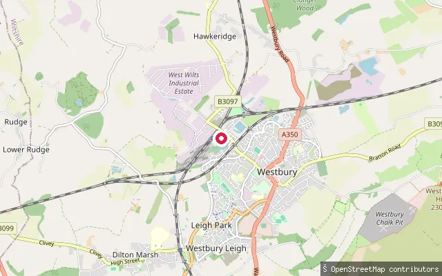 Lake
LakeWest Wilts Youth Sailing Association
Wiltshire, EnglandThis slipway is on Westbury Sailing Lake, next to Westbury railway station, home to the West Wilts Youth Sailing Association, a sailing charity for young people that has run here since 1967. Wiltshire Council approved a housing scheme on part of the surrounding land that includes a rebuilt sailing club facility beside the lake.
 River
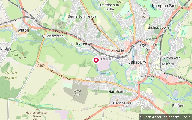
RiverSalisbury Canoe Club
Wiltshire, EnglandThis is Salisbury Canoe Club's landing stage on the River Avon (the Hampshire Avon), on Newton Road in Salisbury. The club paddles a circuit through the city known as the Loop, crossing weirs and a portage at Middle Street Meadows, with river level governing whether the full route is passable.
 Canal
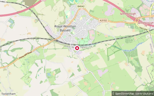
CanalTemplars Firs slipway
Wiltshire, EnglandTemplars Firs slipway sits at the end of a rewatered stretch of the Wilts & Berks Canal on the southern edge of Royal Wootton Bassett. The Wilts & Berks Canal Trust restored and rewatered around 0.75 miles of this derelict canal here in 1995, and the slipway was built the same year to launch the local branch's trip boat.
 Lake
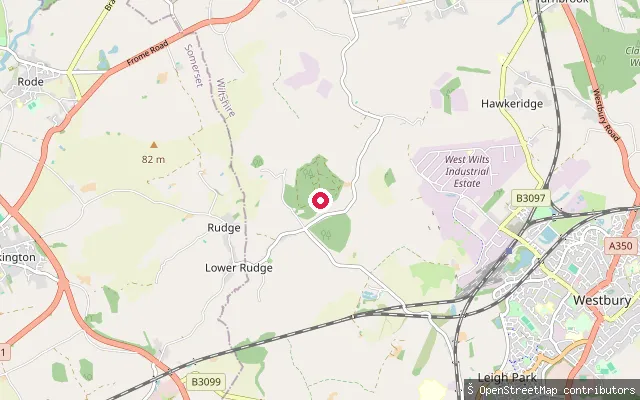
LakeBrokerswood Lake slipway
Wiltshire, EnglandThis is the lake at Brokerswood Country Park, a roughly five-acre stretch of water set in woodland near the hamlet of Brokerswood, close to Westbury. The park runs its own canoeing and kayaking sessions on the lake with the Wiltshire Outdoor Learning Team, mostly on Saturdays and during school holidays.
 Canal
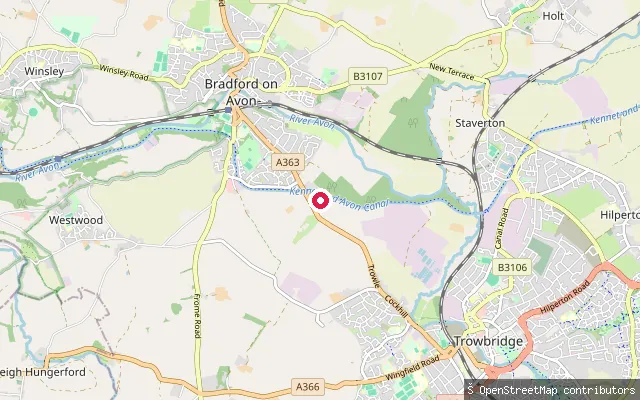
CanalBradford-on-Avon slipway
Wiltshire, EnglandThis slipway sits on the Kennet and Avon Canal on the edge of Bradford-on-Avon, near the town's marina. The canal here runs level and sheltered, popular with the Lock Inn's canoe and kayak hire trade and with paddlers doing the loop out to Dundas Aqueduct and back via the River Avon.
 Lake
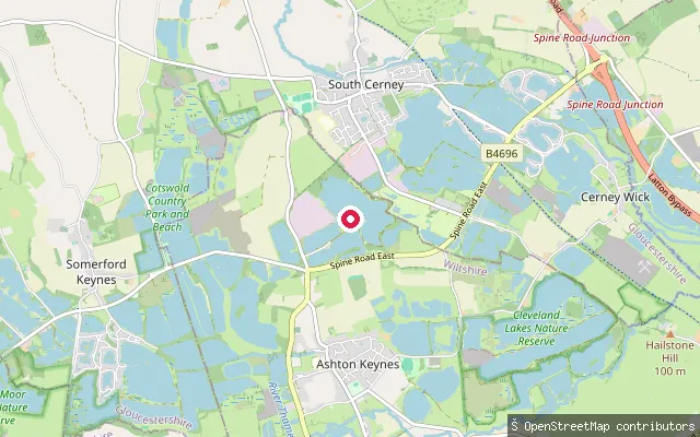
LakeWhitefriars Sailing Club slipway
Wiltshire, EnglandThis slipway sits on Lake 26, one of the flooded former gravel pits that make up the Cotswold Water Park near Ashton Keynes. Whitefriars Sailing Club, a members' dinghy sailing club covering about 85 acres of water, runs several slipways, pontoons and jetties around the lake shore.
 Lake
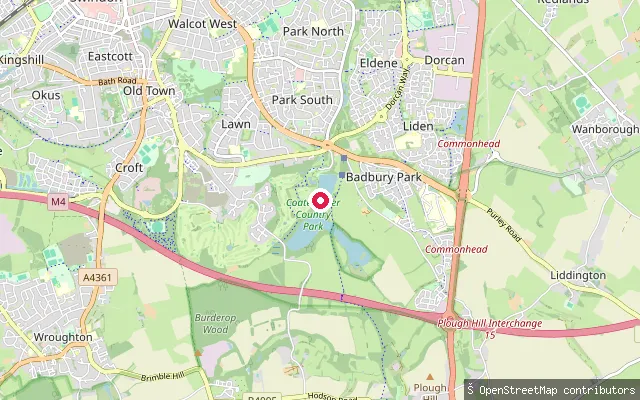
LakeCoate Water slipway
Wiltshire, EnglandThis slipway sits on Coate Water, a 70-acre reservoir built in 1822 by damming the River Cole, about 5 km south-east of central Swindon. It is now a country park and Local Nature Reserve managed by Swindon Borough Council; swimming has been banned since 1958 and part of the lake is a Site of Special Scientific Interest for its breeding birds.
Save your own spots
Keep the places you launch, check the wind and shelter before you go, and log every paddle. Add a spot to the directory too, and other paddlers will find it. Free to start.
Some launch spots in this directory are seeded from open data. © OpenStreetMap contributors · Open Database Licence (ODbL) · Machine-readable copy