Paddleboarding spots in Oxfordshire
33 launch spots across Oxfordshire
Every mapped spot in Oxfordshire
Zoom in to split a cluster; open a pin for the spotMap of every spot in Oxfordshire
The interactive map opens on any device with JavaScript. The full list of launch spots is below.
Launch spots
Showing 9 of 33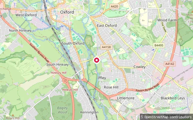 River
RiverEast Oxford put-in
Oxfordshire, EnglandThis put-in sits on the River Thames, known locally as the Isis, between Donnington Bridge and Iffley Lock south of central Oxford. OSM maps it as part of a way associated with the Salters Steamers boat builders and storage yard, so it may serve that operation rather than being a general public launch point.
 River
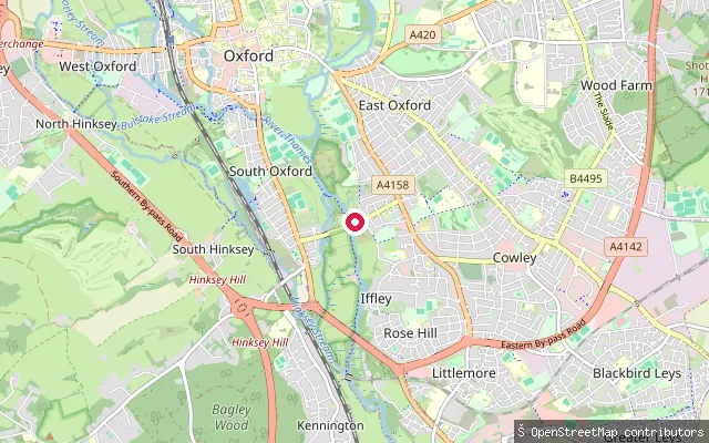
RiverDonnington Bridge Slipway
Oxfordshire, EnglandDonnington Bridge Slipway is a concrete slipway on the River Thames, called the Isis on this stretch through Oxford, on the city's eastern riverside close to the university and city rowing boathouses. Several other mapped put-in points sit within about 100 metres along the same bank.
 Canal
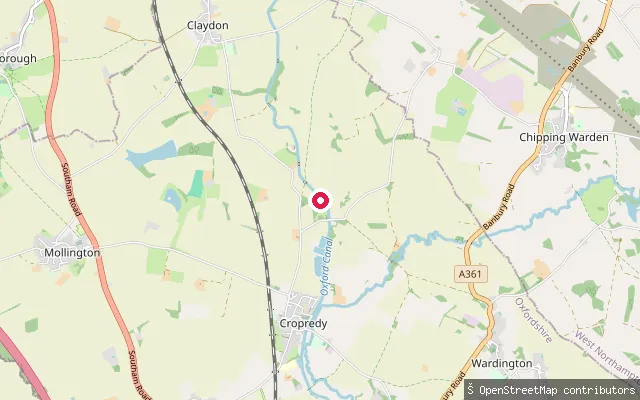
CanalCropredy put-in (Cherwell)
Oxfordshire, EnglandA slipway onto the Oxford Canal in the village of Cropredy in Cherwell district. This southern section of the canal runs through the shallow valley of the young River Cherwell on a lock-free, winding course rated one of the more scenic stretches of the network. The Canal and River Trust requires a waterways licence to paddle here, which a Paddle UK membership can cover.
 River
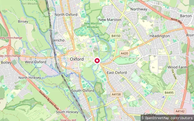
RiverCity Centre put-in (Oxford)
Oxfordshire, EnglandThis put-in is on the River Cherwell beside Magdalen Bridge, at the eastern edge of Oxford city centre. The Cherwell divides into channels at this point and is shallow enough that punting, rather than powered boating, is the traditional use of this reach.
 River
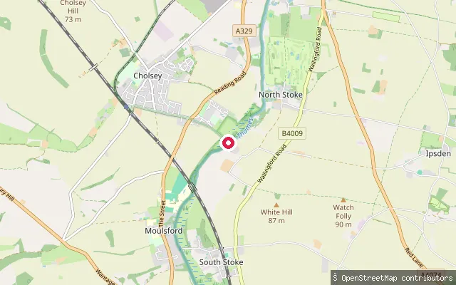
RiverCholsey put-in (South Oxfordshire)
Oxfordshire, EnglandThis slipway lies on Ferry Lane on the west bank of the River Thames near Cholsey, at the site of a former ferry crossing to the Littlestoke hamlet of South Stoke that ran until at least the 1920s. The track surface is compacted, and the Environment Agency runs a registration scheme covering unpowered craft such as canoes and kayaks on this stretch of the river.
 River
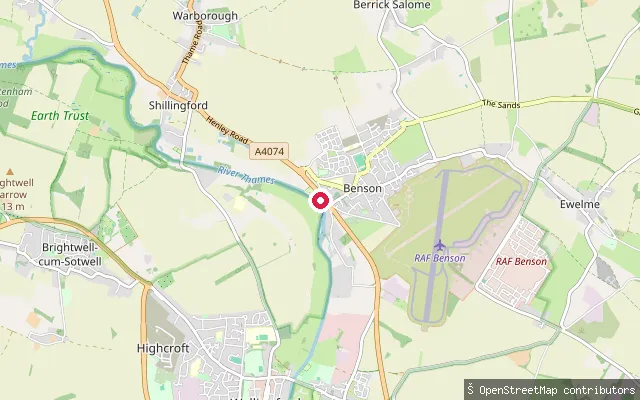
RiverBenson put-in (South Oxfordshire)
Oxfordshire, EnglandThis slipway is linked to Benson Marina on the River Thames at Benson, near Benson Lock where the Ewelme Brook joins the river. A flash lock stood on this reach from 1746 before Benson's pound lock was built in 1788 and rebuilt in 1870.
 River
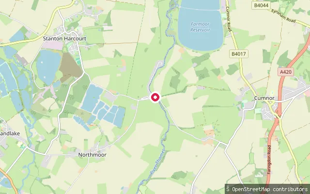
RiverBablock Hythe Ferry Slipway
Oxfordshire, EnglandThis is the slipway at Bablock Hythe, where a chain ferry crossed the Thames from at least 1279 until 1959, near The Ferryman Inn. The name and location are both confirmed directly by the OSM node.
 River
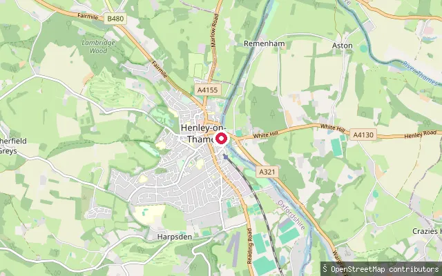
RiverAlf Parrot
Oxfordshire, EnglandAlf Parrot is a named slipway on Thameside in Henley-on-Thames, giving access to the River Thames close to Henley Reach, home of the Henley Royal Regatta.
 River
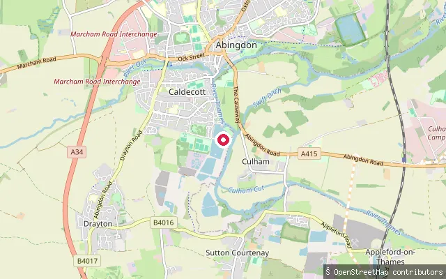
RiverAbingdon-on-Thames put-in
Oxfordshire, EnglandThis launch point is on the Thames at South Quay in Abingdon, beside Abingdon Marina, which offers moorings, a slipway and a car park. It sits within the historic market town of Abingdon-on-Thames, just downstream of Abingdon Bridge.
Save your own spots
Keep the places you launch, check the wind and shelter before you go, and log every paddle. Add a spot to the directory too, and other paddlers will find it. Free to start.
Some launch spots in this directory are seeded from open data. © OpenStreetMap contributors · Open Database Licence (ODbL)