Paddleboarding spots in Surrey
31 launch spots across Surrey
Every mapped spot in Surrey
Zoom in to split a cluster; open a pin for the spotMap of every spot in Surrey
The interactive map opens on any device with JavaScript. The full list of launch spots is below.
Launch spots
Showing 7 of 31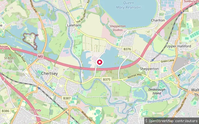 River
RiverLaleham put-in
Surrey, EnglandThis slipway is on the River Thames at Laleham, a village on the reach between Chertsey and Staines-upon-Thames. Two further slipways are mapped within 60 m along the same bank.
 River
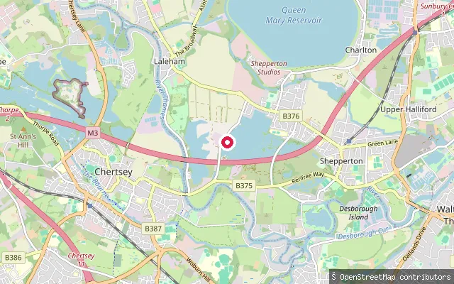
RiverLaleham put-in
Surrey, EnglandThis slipway is on the River Thames at Laleham, a village on the reach between Chertsey and Staines-upon-Thames. Two further slipways are mapped within 60 m along the same bank.
 River
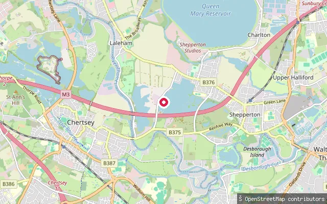
RiverLaleham put-in
Surrey, EnglandThis slipway is on the River Thames at Laleham, a village on the reach between Chertsey and Staines-upon-Thames. Two further slipways are mapped within 60 m along the same bank.
 Lake
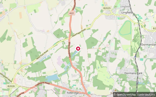
LakeWire Mill Lake slipway (Felbridge)
Surrey, EnglandThis slipway opens onto Wire Mill Lake, a 26-acre pond created in the 1560s by damming Eden Brook, a tributary of the River Eden, near Felbridge. The lake is used for sailing, fishing and waterskiing, and the Wire Mill pub stands on its shore.
 River
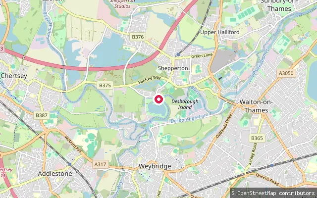
RiverShepperton Ferry Square put-in
Surrey, EnglandThis private slipway lies on the River Thames at Ferry Square in old Shepperton, about 70 metres from another mapped slipway at the same crossing point. Environment Agency registration applies to all craft, including paddleboards, used on this non-tidal reach.
 Lake
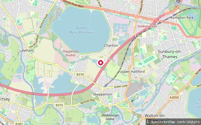
LakeLiquid Leisure slipway (Charlton)
Surrey, EnglandThis slipway leads onto an unnamed lake at Liquid Leisure, a commercial watersports park in Charlton, a hamlet beside the Queen Mary Reservoir on the edge of Shepperton in Surrey. Two more mapped slipways lie within 100 metres, apparently serving the same private lake.
 Lake
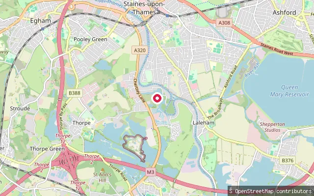
LakeBishops Platt put-in (Runnymede)
Surrey, EnglandThis point sits on a small lake within the grounds of Bishops Platt, a private house off Norlands Lane near Egham. OpenStreetMap shows the access track to it tagged private, and no public water body or launch point could be confirmed at this coordinate.
Save your own spots
Keep the places you launch, check the wind and shelter before you go, and log every paddle. Add a spot to the directory too, and other paddlers will find it. Free to start.
Some launch spots in this directory are seeded from open data. © OpenStreetMap contributors · Open Database Licence (ODbL)