Paddleboarding spots in Isle of Wight
80 launch spots across Isle of Wight
Every mapped spot in Isle of Wight
Zoom in to split a cluster; open a pin for the spotMap of every spot in Isle of Wight
The interactive map opens on any device with JavaScript. The full list of launch spots is below.
Launch spots
Showing 8 of 80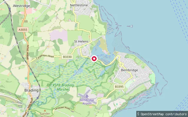 Sea
SeaBembridge put-in
Isle of Wight, EnglandThis slipway is on Embankment Road on the western shore of Bembridge Harbour, further along the harbour bank than the quay-side slipways nearer Red Wing Quay. The harbour is a largely drying tidal lagoon between Bembridge and St Helens, reached through a dredged, sandbarred channel.
 Sea
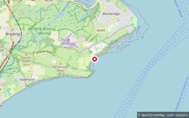
SeaWhitecliff Bay put-in (Jenny Streets Lane)
Isle of Wight, EnglandThis access point sits on Jenny Streets Lane, a track that forms part of a coast path diversion near Bembridge School and rejoins the Isle of Wight Coast Path on the clifftop above Whitecliff Bay. It gives shore access to the open sea of Whitecliff Bay on the island's south-east coast.
 Sea
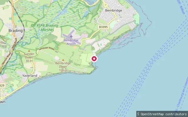
SeaWhitecliff Bay put-in (Hillway Road)
Isle of Wight, EnglandThis is an informal shore access point on Hillway Road on the eastern side of Bembridge, close to Whitecliff Bay Holiday Park and the open sea of Whitecliff Bay. The coast here forms part of the Whitecliff Bay and Bembridge Ledges Site of Special Scientific Interest, which runs from the Bembridge Harbour entrance around Foreland to Whitecliff Bay.
 Sea
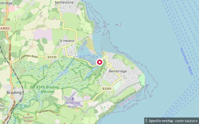
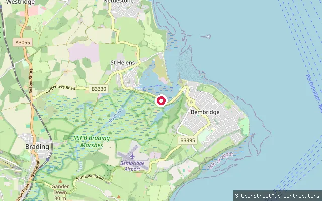
SeaBembridge put-in
Isle of Wight, EnglandThis slipway is on Red Wing Quay on the western shore of Bembridge Harbour, a largely drying tidal lagoon reached through a dredged, sandbarred channel between Bembridge and St Helens.
 Sea
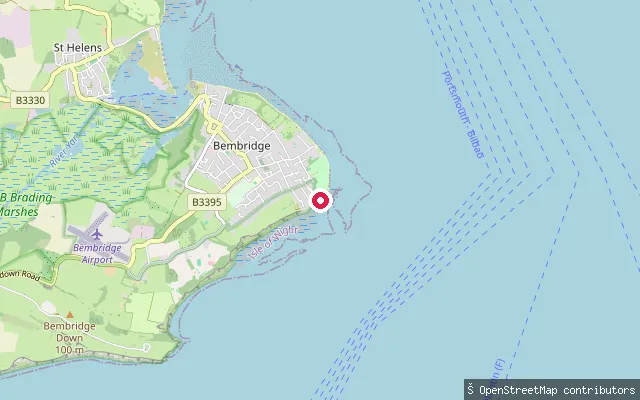
SeaBembridge put-in
Isle of Wight, EnglandThis slipway is on Embankment Road on the western shore of Bembridge Harbour, a largely drying tidal lagoon between Bembridge and St Helens reached through a dredged, sandbarred channel.
 Sea
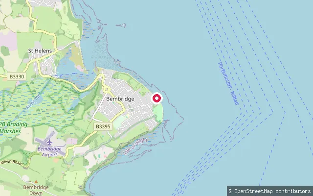
SeaBembridge put-in
Isle of Wight, EnglandThis put-in is on the shingle-and-sand shore near Forelands, on the English Channel side of Bembridge's eastern tip, distinct from the Solent-facing beach further north. A rocky platform known locally as the Ledge is exposed at low tide with rock pools, and the nearest parking is a gated gravel car park off Forelands Field Road.
 Sea
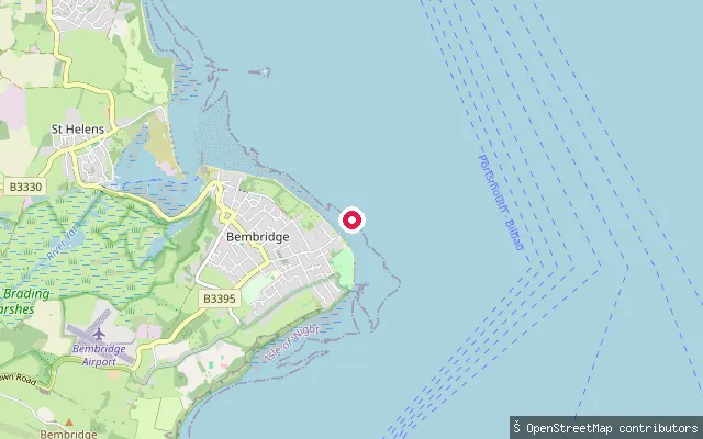
SeaBembridge put-in
Isle of Wight, EnglandThis slipway sits on Fishermans Walk beside the Bembridge RNLI lifeboat station, on the eastern approaches to the Solent near Spithead. The beach is shingle with sand exposed at low tide, and Bembridge Ledge, a rocky reef, lies offshore to the south. A pay car park, toilets, a shop and a cafe serve the site.
 Sea
SeaBembridge Lifeboat Station slipway
Isle of Wight, EnglandThis slipway sits on the pier of Bembridge Lifeboat Station, on the Isle of Wight's eastern approach to the Solent near Bembridge Ledge and the Foreland. Bembridge village and its harbour lie a short distance to the west, off Lane End.
Save your own spots
Keep the places you launch, check the wind and shelter before you go, and log every paddle. Add a spot to the directory too, and other paddlers will find it. Free to start.
Some launch spots in this directory are seeded from open data. © OpenStreetMap contributors · Open Database Licence (ODbL)