Paddleboarding spots in West Sussex
61 launch spots across West Sussex
Every mapped spot in West Sussex
Zoom in to split a cluster; open a pin for the spotMap of every spot in West Sussex
The interactive map opens on any device with JavaScript. The full list of launch spots is below.
Launch spots
Showing 13 of 61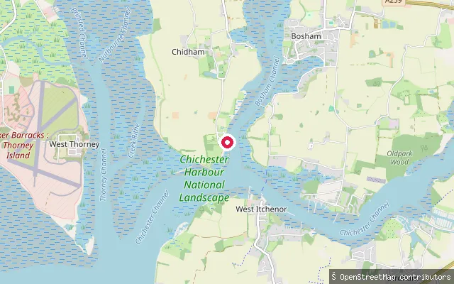 Sea
SeaCobnor Hard
West Sussex, EnglandCobnor Hard is a concrete slipway at Cobnor Point, the tip of the Chidham peninsula, launching onto Bosham Channel, the sheltered inlet inside Chichester Harbour that leads up to Bosham. OSM tags access to this hard as permit-only, and paddle craft on the wider harbour also pay the Conservancy's annual harbour dues.
 Sea
SeaCobnor Point slipway
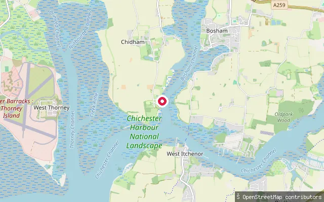
West Sussex, EnglandThis slipway sits further along the Chidham peninsula shore at Cobnor Point, on Bosham Channel, the sheltered inlet inside Chichester Harbour that leads up to Bosham.
 Sea
SeaCobnor Point slipway
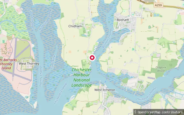
West Sussex, EnglandThis slipway sits at the northern end of the same Cobnor Point shoreline on the Chidham peninsula, on Bosham Channel, the sheltered inlet inside Chichester Harbour that leads up to Bosham.
 Sea
SeaCobnor Point slipway
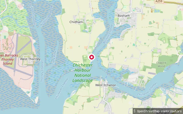
West Sussex, EnglandThis slipway sits on the Chidham peninsula at Cobnor Point, on Bosham Channel, a sheltered inlet inside Chichester Harbour that leads up to Bosham. It is mapped 46 m from the permit-only Cobnor Hard and may be the same access point.
 Sea
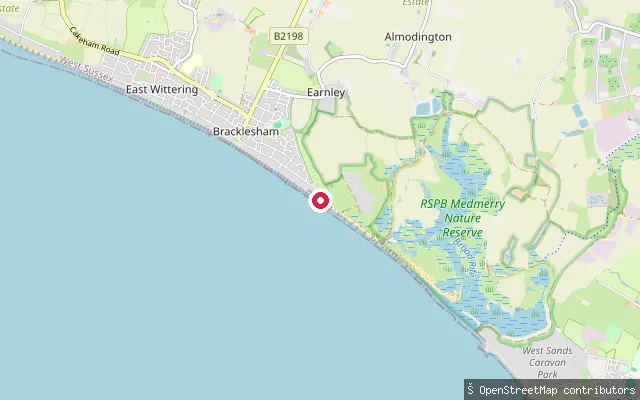
SeaBracklesham Caravan and Boat Club slipway
West Sussex, EnglandThis slipway serves the Bracklesham Caravan and Boat Club on the open coast at Bracklesham, close to the England Coast Path. The concrete access road down to the water carries no toll, and the shore here fronts Bracklesham Bay on the West Sussex coast.
 Sea
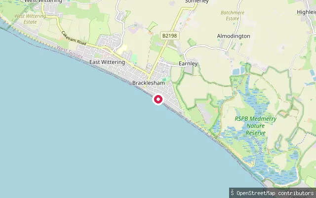
SeaMarineside slipway (Bracklesham)
West Sussex, EnglandThis slipway lies on Marineside in Bracklesham, on the open coast facing Bracklesham Bay and the English Channel between Selsey and West Wittering. OpenStreetMap records it as a slipway with no access restriction tag.
 Sea
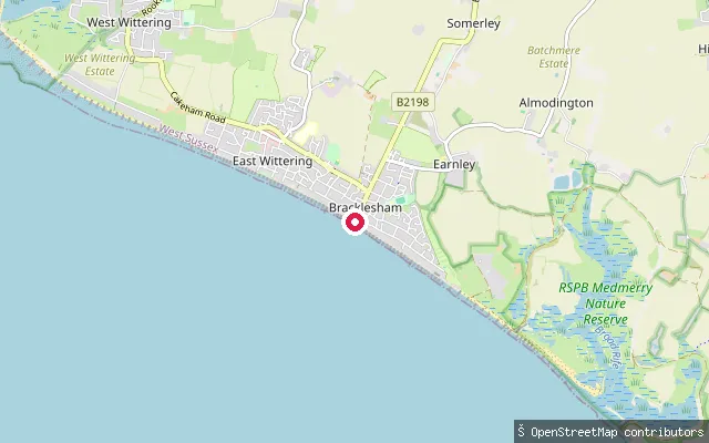
SeaWest Bracklesham Drive slipway (Bracklesham)
West Sussex, EnglandThis slipway sits on West Bracklesham Drive in Bracklesham, on the open West Sussex coast facing the English Channel. OpenStreetMap records the access as customers-only, operated by Chichester District Council, with a concrete surface. The shore here forms part of Bracklesham Bay, between West Wittering and Selsey.
 River
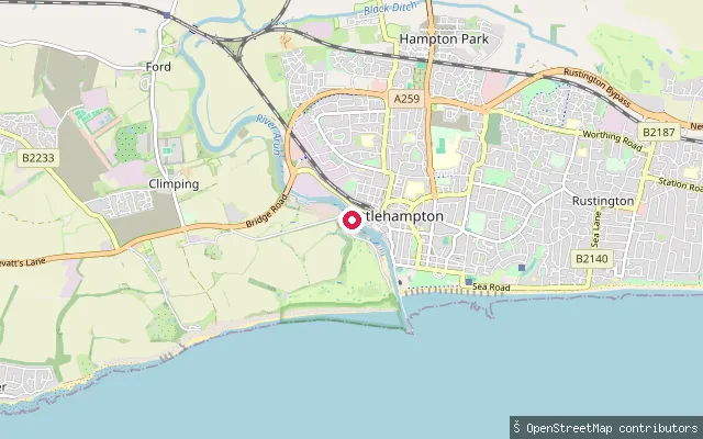
RiverBrookbarn Farm put-in (Arun)
West Sussex, EnglandThis point is on the River Arun in the Hampton Park area of Littlehampton, near Climping, within the stretch where the Littlehampton Harbour Board holds navigation authority and charges tolls. OpenStreetMap tags the access as private, describing the way as part of the moorings within Littlehampton Harbour.
 River
RiverBrookbarn Farm put-in (Arun)
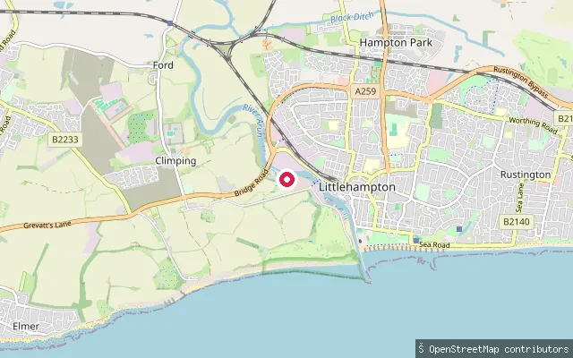
West Sussex, EnglandThis slipway is on the Quayside within the Riverside Industrial Estate on the River Arun, near Climping in Littlehampton, close to a small marina. The stretch falls within the Littlehampton Harbour Board's jurisdiction, which charges tolls for use of the river between the harbour mouth and Arundel Bridge.
 Sea
SeaMarine Parade slipway (Worthing)
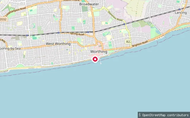
West Sussex, EnglandThis slipway is on Marine Parade in West Worthing and gives access to the English Channel from the town's seafront. The launch point takes its water from the open coast, not from Broadwater, which is an inland Worthing suburb well north of here.
 Sea
SeaBognor Regis put-in (Arun)
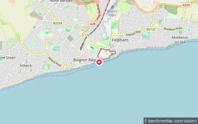
West Sussex, EnglandA slipway on the Esplanade at Bognor Regis gives access to the open water of the English Channel. OpenStreetMap records it as an unlit asphalt driveway down to the beach, more suited to carrying a board than towing a trailer.
 Lake
LakeArdingly put-in (Mid Sussex)
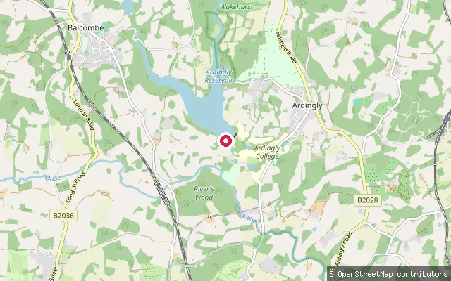
West Sussex, EnglandArdingly Reservoir is a 74.5-hectare drinking-water reservoir west of Ardingly village, created in 1979 and owned by South East Water. The on-site Ardingly Activity Centre runs paddleboarding, kayaking and sailing sessions, while the west bank belongs to the Balcombe Estate and the other banks carry public rights of way and bridleways.
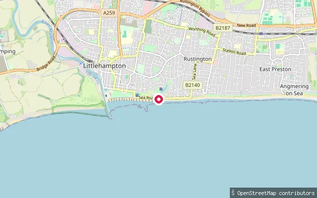 Sea
SeaAYAC boat ramp
West Sussex, EnglandThis boat ramp is on Littlehampton's promenade, east of the River Arun's mouth, and gives onto the English Channel. OpenStreetMap tags the ramp access=private, meaning it is not a public launch point.
Save your own spots
Keep the places you launch, check the wind and shelter before you go, and log every paddle. Add a spot to the directory too, and other paddlers will find it. Free to start.
Some launch spots in this directory are seeded from open data. © OpenStreetMap contributors · Open Database Licence (ODbL)