Paddleboarding spots in Dorset
49 launch spots across Dorset
Every mapped spot in Dorset
Zoom in to split a cluster; open a pin for the spotMap of every spot in Dorset
The interactive map opens on any device with JavaScript. The full list of launch spots is below.
Launch spots
Showing 24 of 49
LakeSilverlake private slipway
Dorset, EnglandThis private slipway launches onto an unnamed lake on the Silverlake holiday estate near Crossways, one of a chain of flooded former gravel-pit lakes close to the estate's Wakeling and Overton Islands. The wider water body appears in OpenStreetMap without a name tag, so it is not recorded as a specific named lake here.
LakeStarling Lake slipway
Dorset, EnglandThis private slipway launches onto Starling Lake, one of the flooded former gravel-pit lakes on the Silverlake holiday estate near Crossways. It sits among a cluster of closely spaced jetties on this shore, likely serving individual lakeside holiday homes.
LakeStarling Lake slipway
Dorset, EnglandThis private slipway launches onto Starling Lake, one of the flooded former gravel-pit lakes on the Silverlake holiday estate near Crossways. It sits among a cluster of closely spaced jetties on this shore, likely serving individual lakeside holiday homes.
LakeStarling Lake slipway
Dorset, EnglandThis private slipway launches onto Starling Lake, one of the flooded former gravel-pit lakes on the Silverlake holiday estate near Crossways. It is one of several closely spaced jetties around this shore, likely serving individual lakeside holiday homes rather than a shared public launch.
LakeStarling Lake slipway
Dorset, EnglandThis private slipway launches onto Starling Lake, one of the flooded former gravel-pit lakes on the Silverlake holiday estate near Crossways. It sits among a cluster of closely spaced jetties on this shore, likely serving individual lakeside holiday homes.
LakeBeaumont Lake slipway
Dorset, EnglandThis slipway sits on Beaumont Lake, one of several flooded former quarry lakes at the Silverlake holiday estate near Crossways. Silverlake's Activity Hub hires out paddleboards, kayaks and canoes from a beach at the end of Beaumont Lake, but the estate and its launch points are restricted to resort guests and owners.
SeaCastletown put-in
Dorset, EnglandThis slipway sits on the Castletown shore of Portland Harbour, a large artificial harbour on the Isle of Portland enclosed by four breakwaters built between 1849 and 1906. Portland Port, which administers the harbour, requires paddleboarders and kayakers to hold a harbour permit before launching.
SeaWest Bay inner harbour slipway
Dorset, EnglandThis slipway launches onto the inner section of West Bay Harbour, near Quayside on the River Brit side of the harbour village south of Bridport on the Dorset coast. The same Bridport Harbour Office application and fee system that covers the main harbour slipway applies here, with a lower daily rate for kayaks and paddleboards than for motorised craft.
SeaWest Bay Harbour slipway
Dorset, EnglandWest Bay Harbour lies at the mouth of the River Brit on the Dorset coast, about a mile and a half south of Bridport, and this slipway launches directly onto the harbour basin. Bridport Harbour Office requires an application and a paid launch ticket before use, charging a lower daily rate for kayaks and paddleboards than for motorised craft. A three-year, GBP18m rebuild completed in the winter of 2004/2005 added a new outer harbour and slipway, extending the number of days each year the harbour stays usable in southerly swell.
SeaArne put-in
Dorset, EnglandThis launch point is on the Arne peninsula in Poole Harbour, next to the village of Arne and the RSPB Arne reserve. The reserve's Shipstal Beach, a short walk south, is described by the RSPB as a quiet stretch of shoreline away from the busier parts of the harbour.
RiverStony Lane South put-in (Christchurch)
Dorset, EnglandThis slipway sits off Stony Lane South in Purewell, on the tidal River Avon a couple of miles above where it meets the Stour in Christchurch Harbour. The Avon here is tidal and non-intermittent, and shallow-draught boats can work upstream on it for around two miles from the harbour mouth.
RiverWick put-in
Dorset, EnglandThis slipway is on Wick Lane by Iford, on the tidal River Stour on the western edge of Christchurch, close to the village of Wick. The Stour is tidal as far upstream as Tuckton, with spring tides occasionally reaching Blackwater Bridge, and there is a weir near Iford Bridge where the normal tidal reach ends.
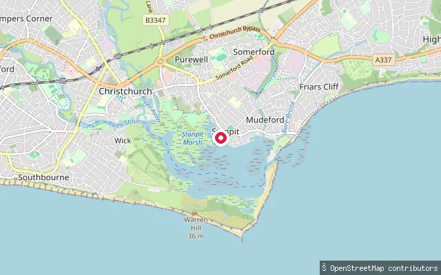
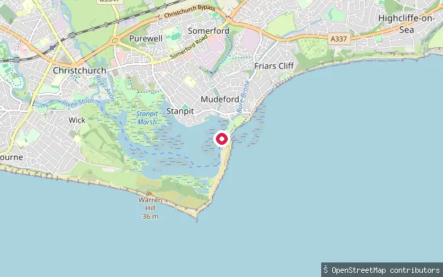
SeaStanpit put-in (Christchurch)
Dorset, EnglandThis concrete slipway at Fisherman's Bank launches onto Christchurch Harbour beside Stanpit Marsh, a 65-hectare Local Nature Reserve and Site of Special Scientific Interest formed where the Rivers Avon and Stour meet the tide. OpenStreetMap tags the slipway as free to use. The marsh mixes salt marsh, reed bed and freshwater habitat and is an important stop for migrating birds.
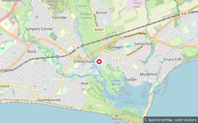
RiverPurewell put-in (Christchurch)
Dorset, EnglandThis slipway is in Purewell, a Christchurch suburb on the tidal River Avon a couple of miles upstream of Christchurch Harbour. The Avon here is tidal and non-intermittent, part of the reach shallow-draught boats can work up from the harbour mouth.
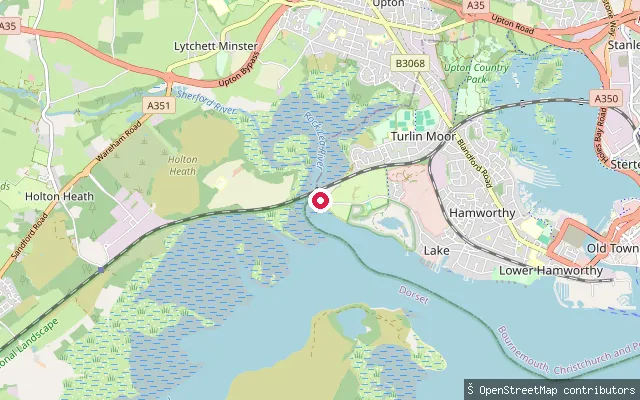
SeaService slipway, west Hamworthy
Dorset, EnglandThis slipway sits toward the western end of Poole Harbour's northern shore, in the Hamworthy area, and is tagged on OpenStreetMap as a small service slipway with no name recorded. Poole Harbour Commissioners manage navigation across the harbour, including a stand up paddleboarding code of practice and a ban on paddling through the entrance or main shipping channels.
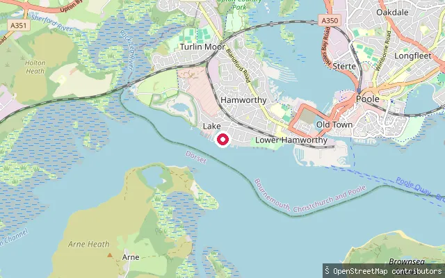
SeaBoatyard slipway, Hamworthy
Dorset, EnglandThis private slipway serves a boatyard on Poole Harbour's northern shoreline at Hamworthy. OpenStreetMap tags it access=private, and its edit history notes it was added while surveying local boatyard detail. Poole Harbour Commissioners' byelaws set a general 10 knot speed limit across the harbour, tightening to 6 knots close to the quays.
SeaPier slipway, west Hamworthy
Dorset, EnglandThis slipway sits close to another small service slipway toward the western end of Poole Harbour's northern shore, in the Hamworthy area. Its OpenStreetMap edit history notes 'local pier changes and updates' but records no name. Poole Harbour Commissioners manage the wider harbour, including a general 10 knot speed limit and a stand up paddleboarding code of practice.
SeaLake Road slipway, Hamworthy
Dorset, EnglandThis slipway sits off Lake Road in Hamworthy, on the western shore of Poole Harbour opposite the town centre. OpenStreetMap tags it simply as a slipway, with no further ownership or access detail. Poole Harbour Commissioners manage the whole harbour, including a stand up paddleboarding code of practice and a ban on paddling through the entrance or main shipping channels.
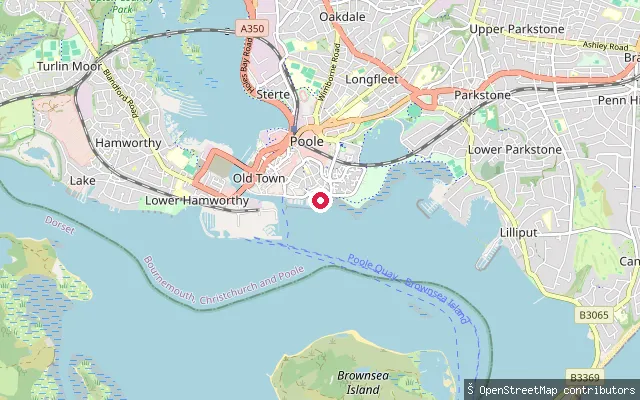
SeaPoole Quay slipway
Dorset, EnglandThis slipway sits close to Poole Quay on the north shore of Poole Harbour, near the town centre. OpenStreetMap records only the bare slipway tag, with no name or access detail. Poole Harbour Commissioners manage the harbour's navigation, including a stand up paddleboarding code of practice and a ban on paddling through the entrance and main shipping channels.
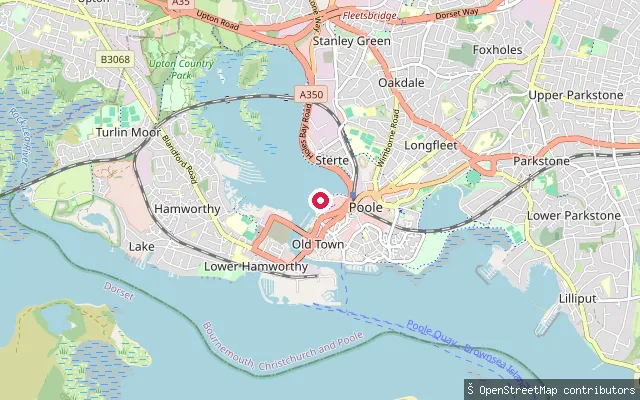
SeaSterte slipway, Holes Bay
Dorset, EnglandThis slipway sits on Holes Bay, the tidal inlet of Poole Harbour immediately north of Poole town centre, close to the Sterte industrial area. Poole Harbour Commissioners byelaws cap vessel speed at 6 knots in Holes Bay, tighter than the harbour's general 10 knot limit, reflecting its status as a designated quiet area. OpenStreetMap shows the slipway within an industrial-use plot, with no name or public-access detail recorded.
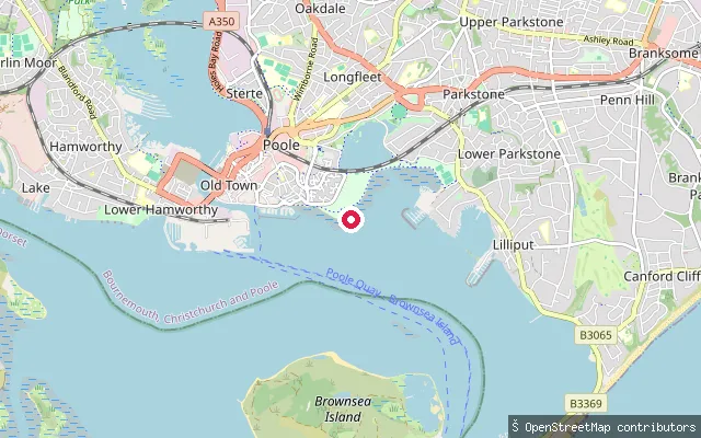
SeaNorth shore slipway, Poole
Dorset, EnglandThis slipway sits on Poole Harbour's northern shore, on the stretch between Parkstone and Poole town centre. Nothing beyond the bare OpenStreetMap slipway tag was found for it, so ownership and condition are unconfirmed. Poole Harbour Commissioners manage navigation and paddling across the harbour, including a ban on paddleboarding through the entrance and main shipping channels.
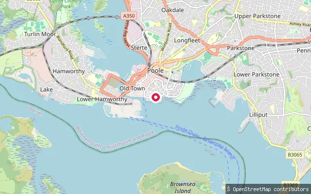
SeaPoole Yacht Club slipway
Dorset, EnglandThis slipway serves Poole Yacht Club on Poole Harbour's northern shore near Whitecliff, west of the town centre. OpenStreetMap tags it access=private and shows it as part of the yacht club's marina. Poole Harbour Commissioners manage the wider harbour, including a stand up paddleboarding code of practice and speed limits that tighten to 6 knots between the quays.
SeaPoole Quay slipway, near the RNLI museum
Dorset, EnglandThis slipway sits on Poole Quay on the north shore of Poole Harbour, close to the site of the former RNLI Lifeboat Museum, and about 25 metres from another harvested slipway node at the same spot. Poole Harbour Commissioners manage navigation harbour-wide, including a stand up paddleboarding code of practice and a ban on paddling through the entrance and main shipping channels.
SeaParkstone Yacht Club slipway
Dorset, EnglandThis slipway belongs to Parkstone Yacht Club on the northern shore of Poole Harbour, a short way east of Poole town centre. OpenStreetMap access tags mark it as private, for club use rather than general launching. Poole Harbour Commissioners run a harbour-wide code of practice for stand up paddleboarding and prohibit paddling through the harbour entrance or the main shipping channels.
Save your own spots
Keep the places you launch, check the wind and shelter before you go, and log every paddle. Add a spot to the directory too, and other paddlers will find it. Free to start.
Some launch spots in this directory are seeded from open data. © OpenStreetMap contributors · Open Database Licence (ODbL)