Paddleboarding spots in Essex
38 launch spots across Essex
Many inland waterways need a licence to paddle. Check with Paddle UK before you go.
Every mapped spot in Essex
Zoom in to split a cluster; open a pin for the spotMap of every spot in Essex
The interactive map opens on any device with JavaScript. The full list of launch spots is below.
Launch spots
Showing 14 of 38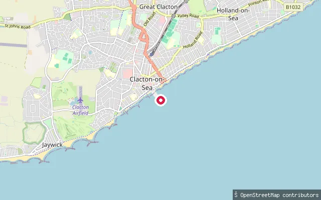 Sea
SeaGreat Clacton put-in (Clacton-on-Sea)
Essex, EnglandThis is a slipway on Marine Parade East in the Great Clacton area of Clacton-on-Sea, opening onto the North Sea beach. Clacton holds a Blue Flag beach at nearby Martello Bay, and the shore here is firm sand and shingle.
 Sea
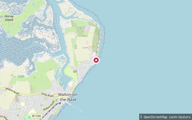
SeaWalton-on-the-Naze put-in
Essex, EnglandThe launch sits at Sunny Point on Walton-on-the-Naze's seafront, opening onto the open North Sea about a kilometre south of the Naze Tower, at the foot of cliffs whose fossils have made the Naze one of Britain's key sites for studying the early Pleistocene. Hamford Water, the sheltered tidal backwater behind Walton, lies on the opposite, landward side of the town toward Kirby-le-Soken.
 River
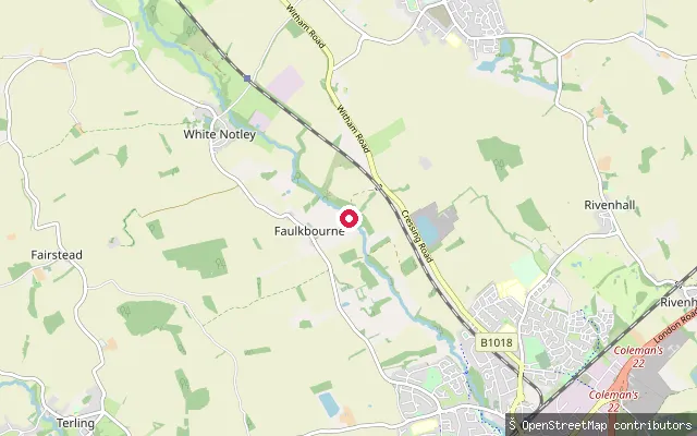
RiverFaulkbourne put-in (Braintree)
Essex, EnglandThis put-in is on the River Brain by the village of Faulkbourne, a few miles south of Braintree, where the river flows on to join the River Blackwater at Witham. It is a small tributary rather than a major navigation, and OpenStreetMap maps the put-in as part of the river's course through the village.
 Sea
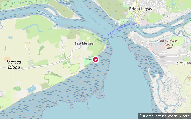
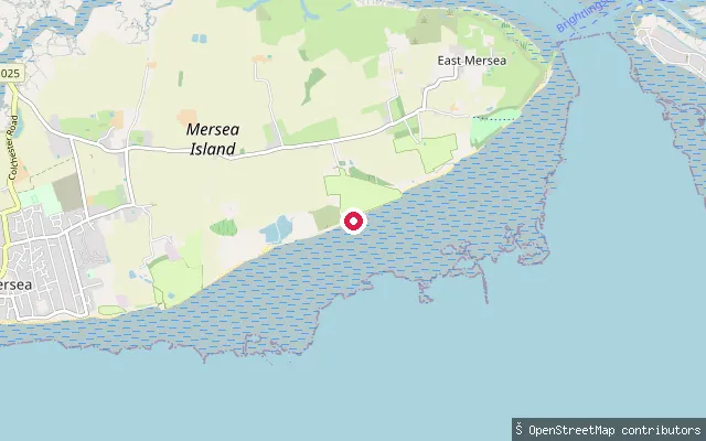
SeaEast Mersea put-in (Colchester)
Essex, EnglandThis slipway sits on the East Mersea shore of the Colne Estuary, reached along the public right of way East Mersea FP 1. The estuary here is mostly saltmarsh and mudflat, part of a large SSSI and Ramsar wetland. Cudmore Grove Country Park lies a short distance north along the same coast.
 Sea
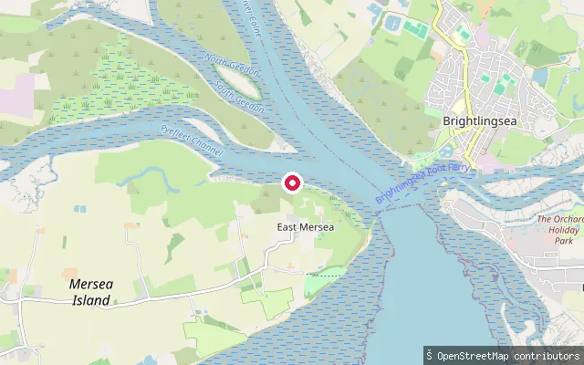
SeaEast Mersea put-in (Colchester)
Essex, EnglandThis slipway sits on East Mersea's south-facing shore, on the Blackwater Estuary side of the island rather than the Colne side. Mersea Island separates the Colne and Blackwater estuaries, and the flats here are mostly beach and mud that dries at low tide.
 Sea
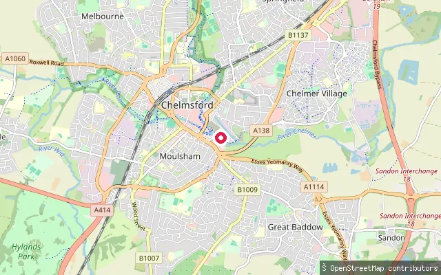
SeaEast Mersea put-in (Colchester)
Essex, EnglandThis slipway lies on the Pyefleet Channel, the tidal creek separating East Mersea from the Essex mainland near Langenhoe. OSM's edit history ties the point to the Colchester Oyster Fishery, which has worked these waters for generations. The channel is bordered by saltmarsh within the Colne Estuary SSSI.
 River
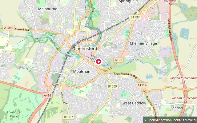
RiverWharf Road put-in
Essex, EnglandThis put-in lies on the Chelmer and Blackwater Navigation off Wharf Road in the Chelmer Waterside part of Moulsham, Chelmsford, a short way downstream of Springfield Basin, the historic head of the Navigation. Essex Waterways requires its own licence to paddle this stretch.
 River
RiverBow Bridge put-in
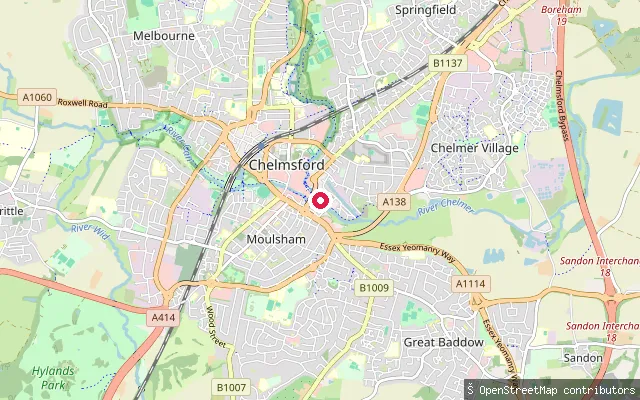
Essex, EnglandThis put-in lies on the Chelmer and Blackwater Navigation beside Bow Bridge in Moulsham, Chelmsford, part of the Chelmer Waterside redevelopment. A new bowstring-arch road and footbridge, officially named Bow Bridge Road, opened across the river here in 2025. Essex Waterways requires its own licence to paddle this stretch.
 River
RiverKing's Head Meadow slipway
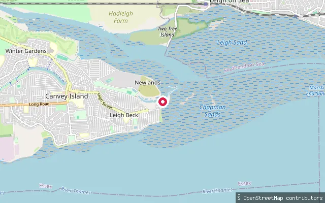
Essex, EnglandThis slipway sits on the Chelmer and Blackwater Navigation at King's Head Meadow in Moulsham, Chelmsford, close to where the River Can joins the River Chelmer. Chelmsford Canoe Club is based on this stretch. Essex Waterways requires its own waterways licence here, separate from the cover Paddle UK's guide gives to the Upper Chelmer.
 Sea
SeaCanvey Island slipway, Silver Point
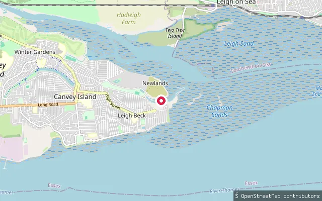
Essex, EnglandThis slipway is on Canvey Island's south-east shore at Silver Point, near the Thorney Bay stretch of the seafront that faces the Thames Estuary a few miles upstream of the open sea. A sea-wall path runs along the beach side here, so the tide needs watching from the path itself as well as the water.
 Sea
SeaCanvey Island slipway, Silver Point (west)
Essex, EnglandThis slipway sits roughly 250 metres west of the Silver Point slipway on Canvey Island's south-east shore, also launching onto the Thames Estuary near the Thorney Bay stretch of the seafront.
 Sea
SeaBenfleet Yacht Club slipway, Canvey Island
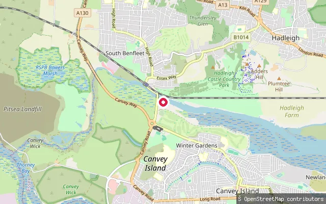
Essex, EnglandThis slipway serves Benfleet Yacht Club on Canvey Island's northern shore, on the tidal Benfleet Creek that separates the island from South Benfleet. The neighbouring Dauntless Boatyard describes the creek as roughly twenty minutes by boat from the River Thames. The Port of London Authority's Tideway Code covers paddlers on this stretch of tidal water.
 River
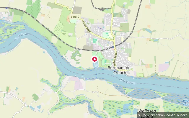
RiverBurnham-on-Crouch put-in (Maldon)
Essex, EnglandBurnham Yacht Harbour, where this slipway is sited, is a 350-berth marina and boatyard on the north bank of the tidal River Crouch at Burnham-on-Crouch, Essex, downstream of the town's yacht clubs and upstream of the river's confluence with the River Roach at Wallasea Island.
 Sea
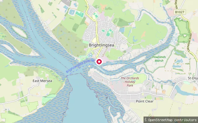
SeaBrightlingsea put-in
Essex, EnglandBrightlingsea Creek is a short tidal arm of the River Colne estuary at the edge of Brightlingsea, a small working port on the Essex coast. The harbour is a statutory Trust Port, run by Brightlingsea Harbour Commissioners under a Harbour Order dating to 1927. The launch is the town's public hard on the Waterside, at the mouth of the creek.
Save your own spots
Keep the places you launch, check the wind and shelter before you go, and log every paddle. Add a spot to the directory too, and other paddlers will find it. Free to start.
Some launch spots in this directory are seeded from open data. © OpenStreetMap contributors · Open Database Licence (ODbL) · Machine-readable copy