Paddleboarding spots in Lancashire
42 launch spots across Lancashire
This weekend’s calmest picks in Lancashire
See the ranked launch spots for the best conditions this weekend
Many inland waterways need a licence to paddle. Check with Paddle UK before you go.
Every mapped spot in Lancashire
Zoom in to split a cluster; open a pin for the spotMap of every spot in Lancashire
The interactive map opens on any device with JavaScript. The full list of launch spots is below.
Launch spots
Showing 18 of 42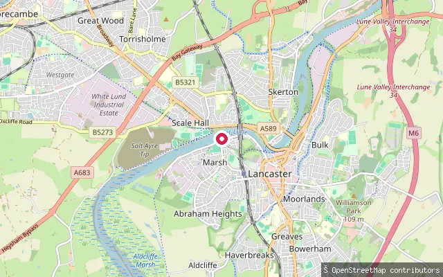 River
RiverMarsh put-in (Lancaster)
Lancashire, EnglandThis concrete slipway is at St George's Quay in Lancaster, on the tidal River Lune. The quay was built between 1750 and 1767 as part of the historic Port of Lancaster.
 Sea
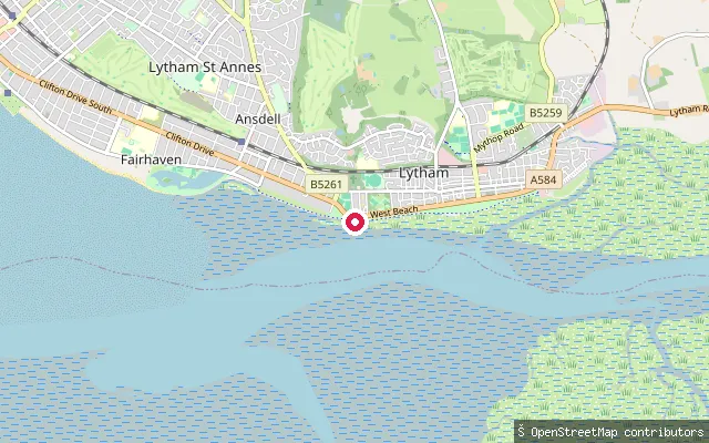
SeaLytham put-in (Fylde)
Lancashire, EnglandThis concrete slipway gives onto the Ribble Estuary foreshore in Lytham, mapped as part of the town's central shoreline. Like the rest of the Lytham shore, it faces broad tidal sandbanks rather than open water at low tide.
 Sea
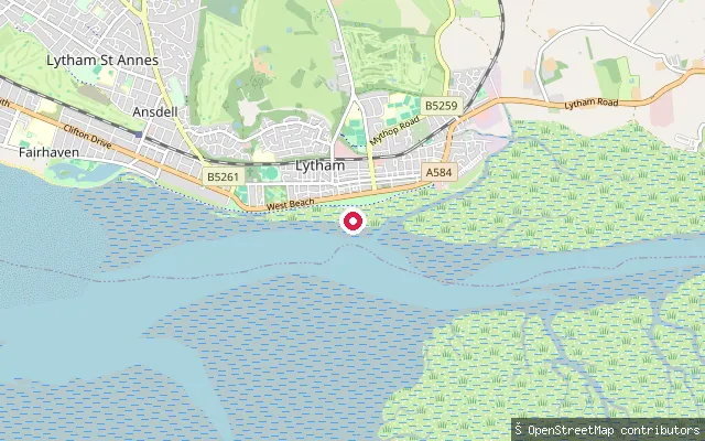
SeaLytham put-in (Fylde)
Lancashire, EnglandThis is a wooden pier and slipway on the Ribble Estuary foreshore in Lytham, on the Fylde coast south-west of the town centre. Lytham's Green runs along the shore here, looking out over the estuary's sandbanks towards the Welsh hills on a clear day.
 Sea
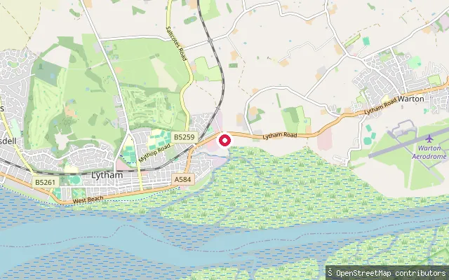
SeaLytham put-in (Fylde)
Lancashire, EnglandThis slipway sits on the Ribble Estuary shore just east of Lytham centre, giving access to the tidal sand and mudflats off the Fylde coast. The foreshore here lies within the Ribble Estuary National Nature Reserve and Site of Special Scientific Interest, designated for its wintering wading birds.
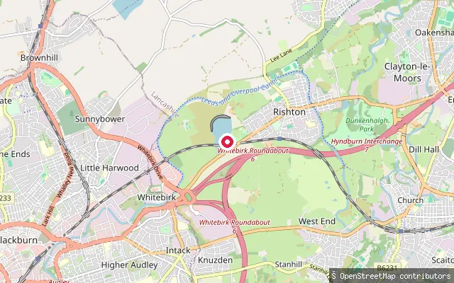 Lake
LakeRishton Reservoir slipway (East Lancashire Sailing Club)
Lancashire, EnglandRishton Reservoir is a roughly 37-acre reservoir on the edge of Rishton, in two linked basins joined by an outlet pipe under a railway embankment. East Lancashire Sailing Club has sailed here since the early twentieth century and offers a paid visitor or temporary membership that includes use of its slipways, jetties and parking.
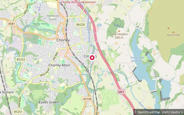 Canal
CanalCowling Bridge slipway, Leeds and Liverpool Canal
Lancashire, EnglandThis slipway sits on the Leeds and Liverpool Canal at Cowling Bridge near Limbrick, close to the Johnson's Hillock flight of seven locks that lower the canal by 20 metres towards Chorley. The Canal and River Trust requires a paddler's licence to launch a canoe, kayak or paddleboard on this stretch.
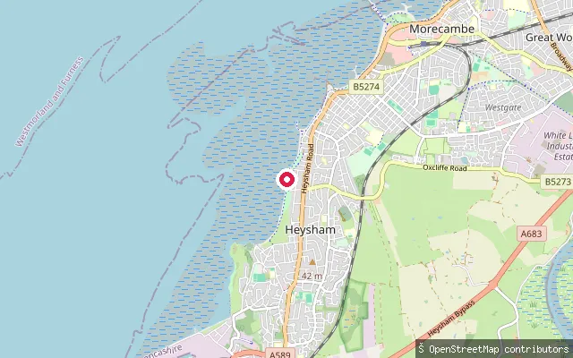 Sea
SeaHeysham put-in
Lancashire, EnglandThis slipway is on the coastal path known as The Prom, on the shore between Bare and Heysham, opening onto Morecambe Bay.
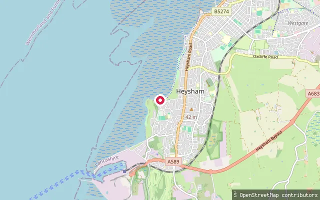 Sea
SeaHalf Moon Bay put-in (Heysham)
Lancashire, EnglandThis slipway is at Half Moon Bay, a crescent-shaped sandy bay on the Heysham coast that opens onto Morecambe Bay. It has a car park on Smithy Lane and is used by local sailing and watersports clubs, including the Half Moon Bay Yacht Club.
 River
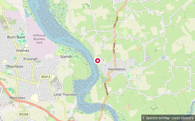
RiverHambleton put-in (Wyre)
Lancashire, EnglandThis slipway on Kiln Lane at Staynall gives access to the tidal River Wyre near Hambleton, close to Shard Bridge on the A588. The reach sits within the Wyre's upper tidal estuary, a few miles upstream of the river's mouth at Fleetwood.
 River
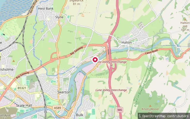
RiverHalton-with-Aughton put-in (Lancaster)
Lancashire, EnglandThis slipway sits on the north bank of the River Lune at Halton village, about three miles east of Lancaster. It lies upstream of Skerton Weir, so the water here is non-tidal, and close to the site of Forge Bank Weir, which once fed local mill leets.
 Sea
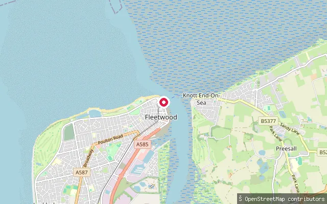
SeaFleetwood put-in (Wyre)
Lancashire, EnglandThis slipway is on Fleetwood's Esplanade close to the Fleetwood Lifeboat Station, at the mouth of the River Wyre where it opens into Morecambe Bay. It is a plain slipway with no name tag, linked to the adjoining beach and coastline.
 Sea
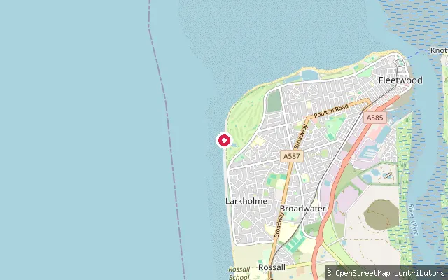
SeaFleetwood put-in (Wyre)
Lancashire, EnglandThis slipway sits on Fleetwood's open seafront at Rossall Point, at the southern edge of Morecambe Bay and just north-west of the mouth of the River Wyre. The National Coastwatch Institution keeps watch from its lookout tower on the point, over the Lune Deep channel and the approaches to Fleetwood.
 Canal
CanalCarnforth put-in (Lancaster)
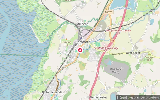
Lancashire, EnglandThis is a public slipway on the Lancaster Canal at Carnforth, on Canal & River Trust towpath land beside the Canal Turn, a pub that has reopened under new management rather than standing derelict.
 Sea
SeaAnsdell put-in (Fylde)
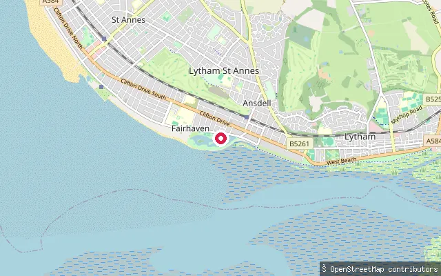
Lancashire, EnglandThis slipway is on the Ribble Estuary foreshore between Lytham and St Annes, in the coastal Fairhaven area rather than Ansdell itself, which lies inland of the railway line. It opens onto the same tidal sandbank shoreline that runs the length of the Fylde coast here. The estuary itself is a large, macrotidal stretch of the Lancashire coast, opening into the Irish Sea.
 Sea
SeaNorbreck put-in (Bispham)
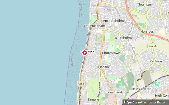
Lancashire, EnglandThis slipway opens onto the Irish Sea at Norbreck, a residential stretch of Blackpool's coast between Bispham and Cleveleys. Norbreck appears in Blackpool Council's coastal records for its erosion history, underlining that this is an actively managed, eroding shoreline rather than a sheltered launch.
 Sea
SeaLittle Bispham put-in
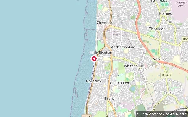
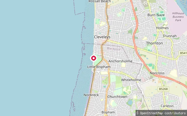
Lancashire, EnglandLittle Bispham put-in is a council slipway on Queen's Promenade, on the open eastern Irish Sea coast between Blackpool and Cleveleys, in the wider sweep of Liverpool Bay.
 Sea
SeaLittle Bispham put-in
Lancashire, EnglandThis is the northern of two 'Little Bispham put-in' slipways on Blackpool's promenade, about 570 metres north of its twin, opening onto the open Irish Sea. Blackpool Council is carrying out a multi-year sea-defence programme of rock groynes and rock armour along this stretch of coast.
 Lake
LakeJumbles Reservoir slipway (Jumbles Sailing Club)
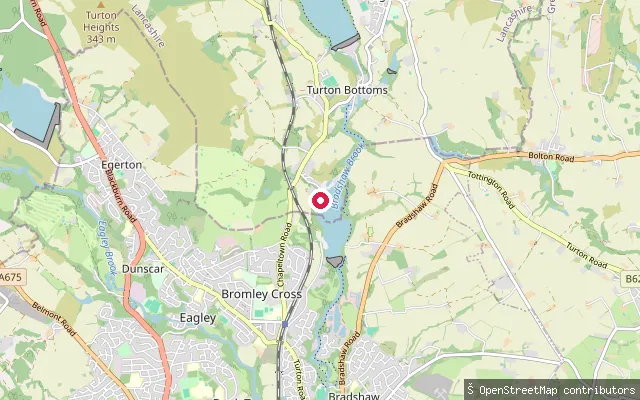
Lancashire, EnglandJumbles Reservoir fills the Bradshaw Valley within Jumbles Country Park, between Bromley Cross and Chapeltown, holding up to 450 million gallons of water at a maximum depth of around 75 feet. It is fed by the Wayoh and Turton and Entwistle reservoirs upstream and drains south into Bradshaw Brook. United Utilities manages the reservoir and country park, and Jumbles Sailing Club launches dinghies, canoes and paddleboards from the northwestern shore.
Save your own spots
Keep the places you launch, check the wind and shelter before you go, and log every paddle. Add a spot to the directory too, and other paddlers will find it. Free to start.
Some launch spots in this directory are seeded from open data. © OpenStreetMap contributors · Open Database Licence (ODbL) · Machine-readable copy