Paddleboarding spots in Somerset
38 launch spots across Somerset
This weekend’s calmest picks in Somerset
See the ranked launch spots for the best conditions this weekend
Many inland waterways need a licence to paddle. Check with Paddle UK before you go.
Every mapped spot in Somerset
Zoom in to split a cluster; open a pin for the spotMap of every spot in Somerset
The interactive map opens on any device with JavaScript. The full list of launch spots is below.
Launch spots
Showing 14 of 38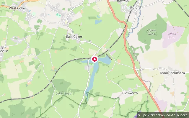 Lake
LakeSutton Bingham slipway
Somerset, EnglandThis slipway sits on Sutton Bingham Reservoir, a 143-acre Wessex Water reservoir on the Somerset-Dorset border in the hamlet of Sutton Bingham within Closworth parish. Sutton Bingham Sailing Club and Sutton Bingham and District Canoe Club operate from this shore, and the club states it is not a public space, with water access restricted to members and pre-arranged trial sessions.
 River
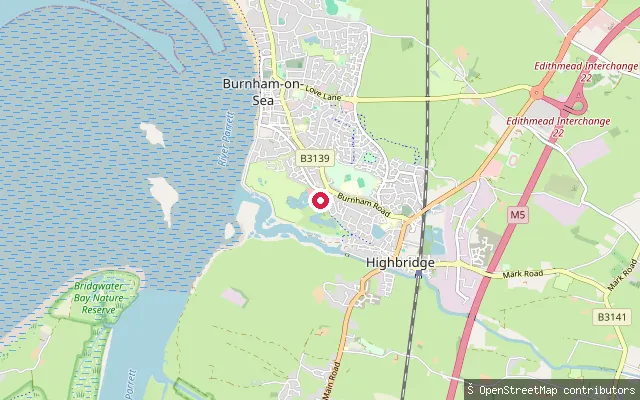
RiverHighbridge slipway (River Brue)
Somerset, EnglandThis slipway sits off Highburn Close in Highbridge, close to the town's Wessex Water treatment works beside the River Brue. The Brue is tidal below the sluices at New Clyce Bridge upstream and reaches the sea a short distance downstream near Burnham-on-Sea.
 Sea
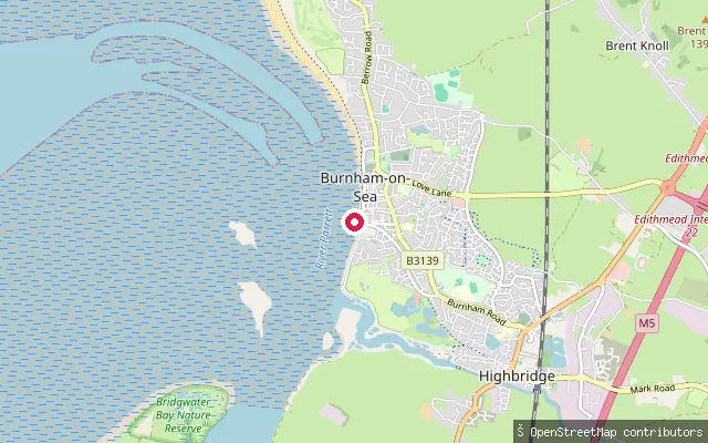
SeaBurnham-on-Sea Esplanade slipway
Somerset, EnglandThis slipway sits on the Esplanade at Burnham-on-Sea, launching onto Bridgwater Bay, the muddy, sand-banked arm of the Bristol Channel at the mouth of the River Parrett. The Low Lighthouse, a Grade II listed structure on nine timber piles on the foreshore, has stood since 1832 and remains an active navigation light. The bay has one of the largest tidal ranges in the world, exposing wide mudflats at low water, and is designated a Site of Special Scientific Interest.
 Canal
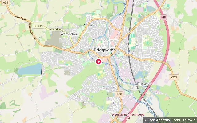
CanalBridgwater Canal slipway (Canal Path)
Somerset, EnglandThis slipway sits on Canal Path in the Hamp area of Bridgwater, launching onto the non-tidal Bridgwater and Taunton Canal, a broad canal running a little over 14 miles to the River Tone at Taunton. Wessex Water pumps drinking water from the canal up to Durleigh Reservoir.
 Sea
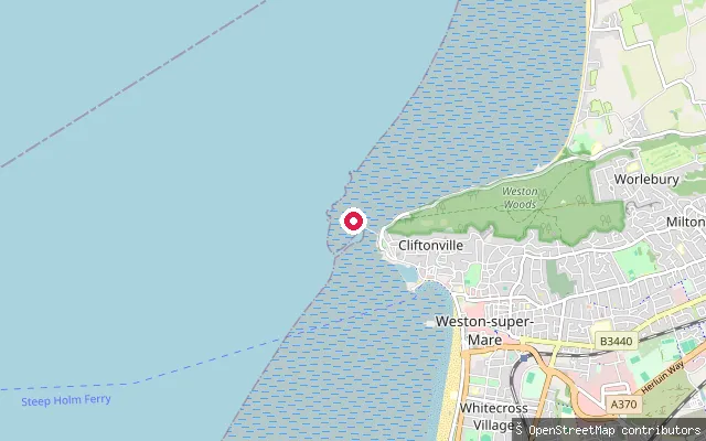
SeaAnchor Head put-in (Weston-super-Mare)
Somerset, EnglandA slipway on North Somerset Council's foreshore at Anchor Head, overlooking Weston Bay, an inlet of the Bristol Channel between Brean Down and Worlebury Hill, close to Birnbeck Pier. The falling tide exposes extensive mudflats, and the low-water mark lies roughly a mile from the seafront.
 Sea
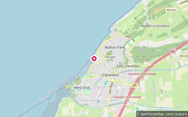
SeaWest End put-in (Clevedon)
Somerset, EnglandA concrete slipway on Clevedon's seafront in the area known locally as West End, near the far end of Old Church Road, launching onto the Severn Estuary. Spring tides here rise and fall by around 12 metres, among the largest tidal ranges in the world.
 Sea
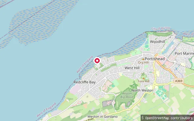
SeaBlack Nore Point put-in (Portishead)
Somerset, EnglandA free concrete slipway on the Severn Estuary shore near Black Nore Point, west of Portishead town centre, close to the Grade II listed Black Nore Lighthouse that Trinity House built in 1894 to guide shipping as the estuary widens toward the Bristol Channel.
 Sea
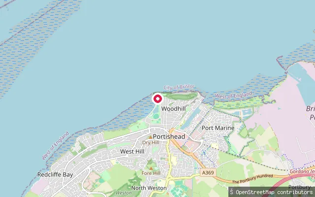
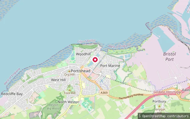
SeaBattery Point put-in (Portishead)
Somerset, EnglandA slipway near Battery Point on the Severn Estuary shore at Portishead, close to Woodhill Bay and the Lake Grounds park, reached along Esplanade Road past the town's open-air pool.
 Sea
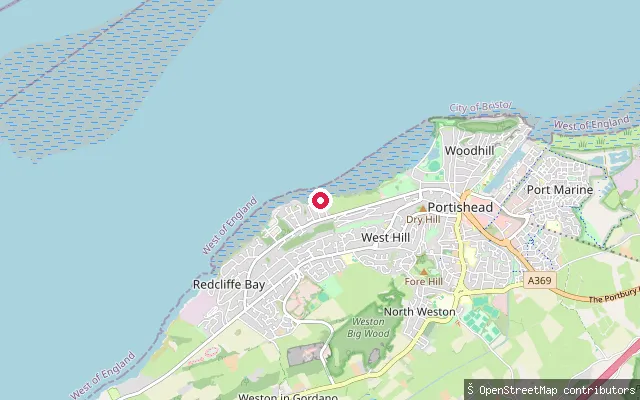
SeaPortishead Marina put-in
Somerset, EnglandA slipway within or immediately beside Portishead Marina at Port Marine, a few hundred metres from the council-built Parish Wharf launch point.
 Sea
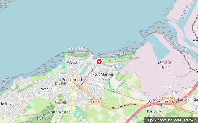
SeaSugar Loaf Beach put-in (Portishead)
Somerset, EnglandA slipway at Sugar Loaf Beach on the Severn Estuary, home to Portishead Yacht and Sailing Club on Belton Road. A long concrete slipway runs down to the water, with parking available nearby on the unmade section of Nichol's Road.
 Sea
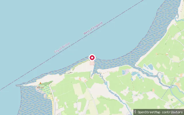
SeaPortishead put-in
Somerset, EnglandA slipway on the open Severn Estuary shore at Portishead, on North Somerset Council's public foreshore east of the marina and close to Battery Point.
 Sea
SeaKewstoke put-in
Somerset, EnglandA slipway on the Bristol Channel coast near Kewstoke, on the shore between Sand Bay and the Sand Point and Middle Hope headland managed by the National Trust. Sand Point can also be reached on foot along the beach from Kewstoke.
 River
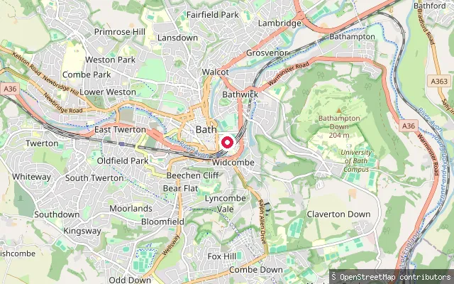
RiverWidcombe put-in (Bath)
Somerset, EnglandThis slipway lies on Spring Gardens Road in Bath, on the River Avon in the Widcombe area of the city, on the Avon Navigation that runs on to Bristol. The Canal and River Trust requires a waterways licence on this stretch.
 River
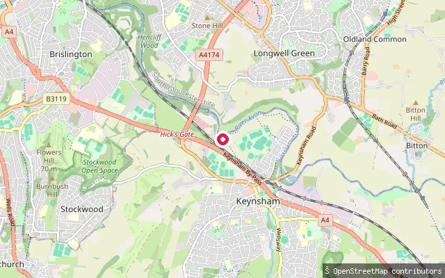
RiverKeynsham put-in
Somerset, EnglandThis slipway on the River Avon at Keynsham sits on the Bristol Avon Navigation between Bath and Bristol, about half a kilometre upstream of Hanham Lock and weir. The Canal and River Trust requires a waterways licence for paddlers on this stretch.
Save your own spots
Keep the places you launch, check the wind and shelter before you go, and log every paddle. Add a spot to the directory too, and other paddlers will find it. Free to start.
Some launch spots in this directory are seeded from open data. © OpenStreetMap contributors · Open Database Licence (ODbL) · Machine-readable copy