Paddleboarding spots in Suffolk
37 launch spots across Suffolk
Many inland waterways need a licence to paddle. Check with Paddle UK before you go.
Every mapped spot in Suffolk
Zoom in to split a cluster; open a pin for the spotMap of every spot in Suffolk
The interactive map opens on any device with JavaScript. The full list of launch spots is below.
Launch spots
Showing 13 of 37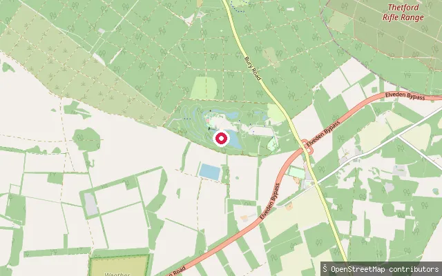 Lake
LakeElveden Forest boating lake (Center Parcs)
Suffolk, EnglandThis slipway sits on the boating lake inside the Center Parcs Elveden Forest holiday village, near the hamlet of Elveden in West Suffolk. Center Parcs describes it as the largest watersports lake across its UK villages, used for canoeing, kayaking, sailing and pedalos, but activities require an active holiday accommodation booking and hired craft.
 Lake
LakeElveden Forest boating lake (Center Parcs)
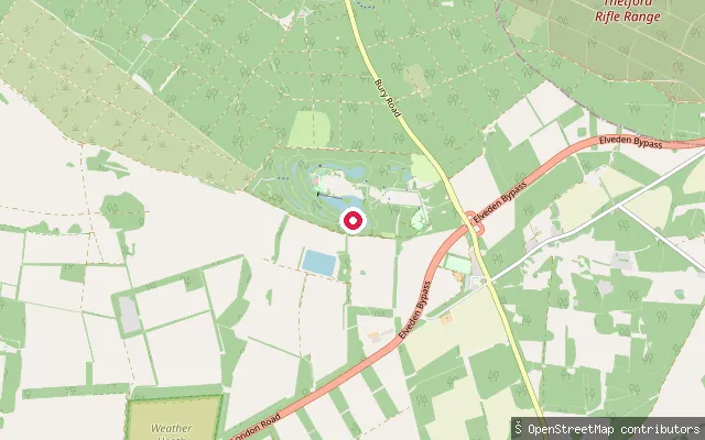
Suffolk, EnglandThis slipway sits on the boating lake inside the Center Parcs Elveden Forest holiday village, near the hamlet of Elveden in West Suffolk. Center Parcs describes it as the largest watersports lake across its UK villages, used for canoeing, kayaking, sailing and pedalos, but activities require an active holiday accommodation booking and hired craft.
 Lake
LakeElveden Forest boating lake (Center Parcs)
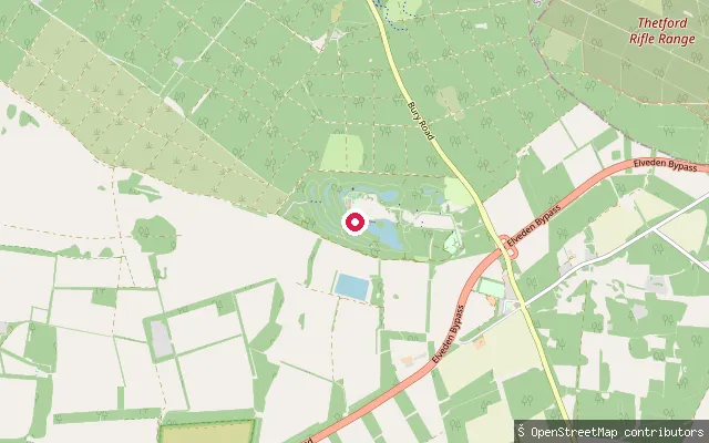
Suffolk, EnglandThis slipway sits on the boating lake inside the Center Parcs Elveden Forest holiday village, near the hamlet of Elveden in West Suffolk. Center Parcs describes it as the largest watersports lake across its UK villages, used for canoeing, kayaking, sailing and pedalos, but activities require an active holiday accommodation booking and hired craft.
 Lake
LakeElveden Forest boating lake (Center Parcs)
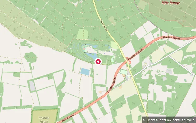
Suffolk, EnglandThis slipway sits on the boating lake inside the Center Parcs Elveden Forest holiday village, near the hamlet of Elveden in West Suffolk. Center Parcs describes it as the largest watersports lake across its UK villages, used for canoeing, kayaking, sailing and pedalos, but activities require an active holiday accommodation booking and hired craft.
 Sea
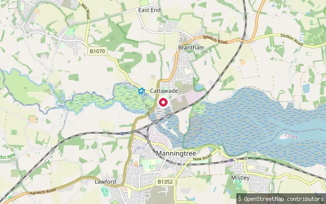
SeaCattawade Tidal Slipway
Suffolk, EnglandThis slipway is on the tidal River Stour just below Cattawade barrage at Brantham, where the river opens into the estuary that runs down to Harwich and Felixstowe. A public right of navigation covers the non-tidal Stour from Cattawade upstream to Brundon Mill above Sudbury, but the barrage stops access between that stretch and the tidal estuary, so this ramp sits on the seaward side of it.
 Sea
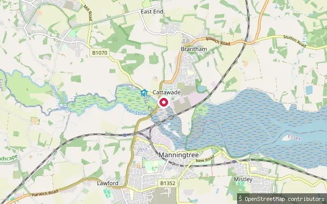
SeaCattawade Slipway
Suffolk, EnglandThis slipway sits around 55 metres from Cattawade Tidal Slipway, on the same stretch of the tidal River Stour by Cattawade barrage at Brantham, where the river opens into the estuary running down to Harwich and Felixstowe.
 River
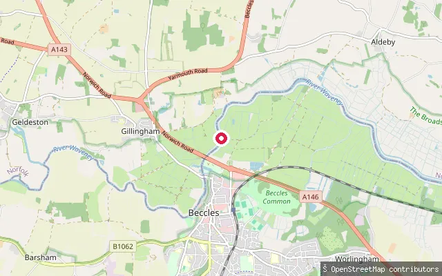
RiverBeccles put-in (East Suffolk)
Suffolk, EnglandThis slipway on the River Waveney at Beccles is tagged as part of Beccles Amateur Sailing Club. The river here forms part of the Broads navigation.
 River
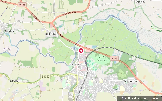
RiverBeccles put-in (East Suffolk)
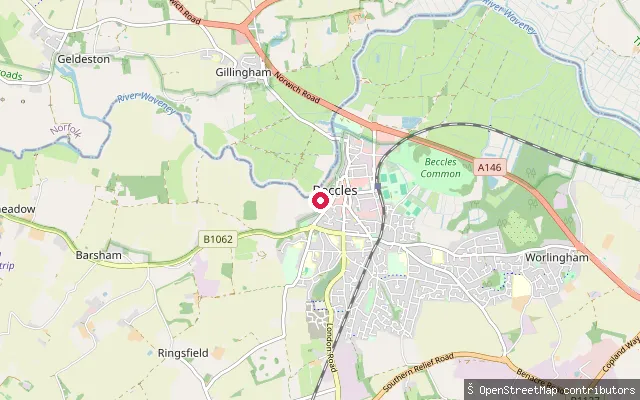
Suffolk, EnglandThis slipway sits on the River Waveney at Beccles, marked in OpenStreetMap as part of the river's natural=water way alongside a service road leading to it.
 River
RiverBeccles put-in (East Suffolk)
Suffolk, EnglandThis slipway sits on the River Waveney southwest of Beccles town centre, marked in OpenStreetMap as part of the river's natural=water way.
 Sea
SeaBawdsey put-in (East Suffolk)
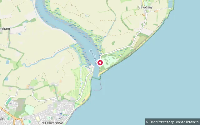
Suffolk, EnglandThis slipway is at Bawdsey Quay, on the River Deben opposite Felixstowe Ferry, where Bawdsey Haven Yacht Club members store and launch dinghies and a seasonal ferry crosses the river mouth. The quay has a small sandy beach, a jetty and a seasonal cafe.
 River
RiverAldeburgh Yacht Club slipway, Slaughden
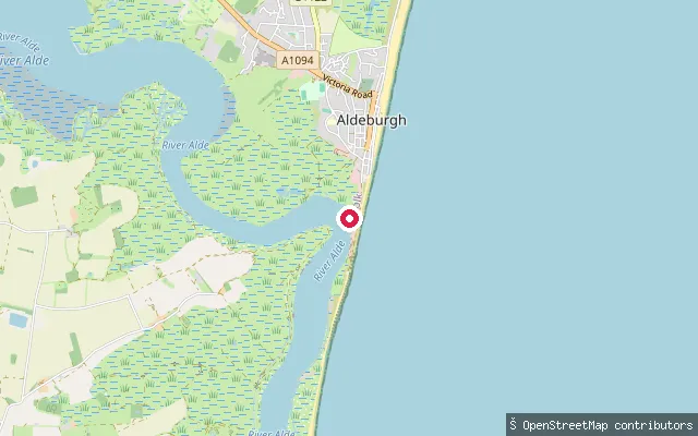
Suffolk, EnglandA slipway at Slaughden, the boating hamlet a mile south of Aldeburgh where Aldeburgh Yacht Club sits between the shingle beach and the tidal River Alde. The club's dinghy park and slipway open onto the Alde-Ore estuary, and the club offers temporary membership to visiting paddlers with their own kayak, canoe or dinghy.
 River
RiverHazlewood Marshes launch point, River Alde
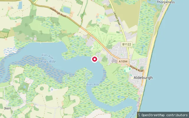
Suffolk, EnglandA remote point on the River Alde estuary at Hazlewood Marshes, reached only on foot via the Sailors' Path between Aldeburgh and Snape. The reserve was freshwater grazing marsh until a tidal surge breached the river wall in December 2013, since when it has converted to tidal saltmarsh and mudflat.
 Sea
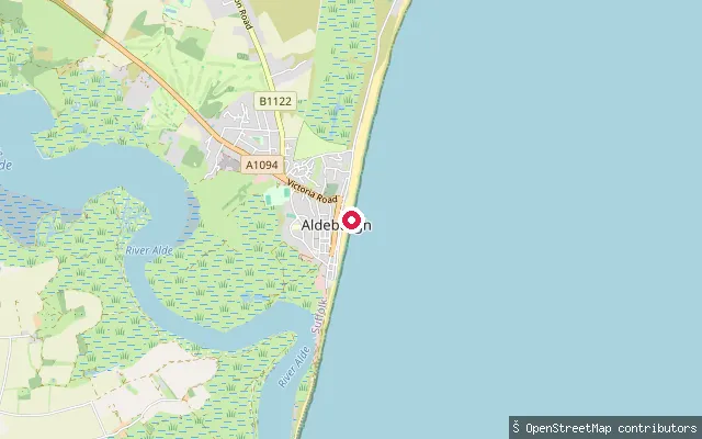
SeaAldeburgh beach launch
Suffolk, EnglandA shingle beach launch point on the open North Sea coast at Aldeburgh, mapped where the beach meets the coastline rather than on the River Alde. Aldeburgh's remaining inshore fishing boats are still hauled up and launched directly off this shingle beach.
Save your own spots
Keep the places you launch, check the wind and shelter before you go, and log every paddle. Add a spot to the directory too, and other paddlers will find it. Free to start.
Some launch spots in this directory are seeded from open data. © OpenStreetMap contributors · Open Database Licence (ODbL) · Machine-readable copy