Paddleboarding spots in Cornwall
121 launch spots across Cornwall
This weekend’s calmest picks in Cornwall
See the ranked launch spots for the best conditions this weekend
Many inland waterways need a licence to paddle. Check with Paddle UK before you go.
Every mapped spot in Cornwall
Zoom in to split a cluster; open a pin for the spotMap of every spot in Cornwall
The interactive map opens on any device with JavaScript. The full list of launch spots is below.
Launch spots
Showing 24 of 121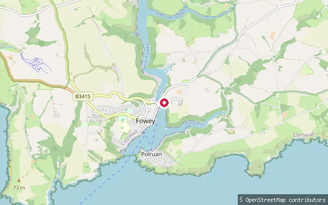 Sea
SeaBodinnick Ferry slip
Cornwall, EnglandThis slipway sits on the east bank of the Fowey Estuary at Bodinnick, in the civil parish of Lanteglos-by-Fowey, directly opposite Fowey. It is the Bodinnick side of the vehicle ferry, a crossing said to have operated here since the 13th century. Fowey Harbour Commissioners require paddlers to register their craft and pay an annual harbour due for use of the estuary.
 Sea
SeaLanteglos put-in
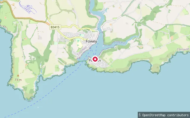
Cornwall, EnglandThis slipway sits on the River Fowey estuary's eastern shore in the civil parish of Lanteglos-by-Fowey, on the Hall Walk route between Bodinnick and Polruan that passes the tidal creek of Pont Pill. The same Fowey Harbour registration and speed-limit rules for small craft apply on this stretch of the estuary.
 River
RiverLandulph put-in
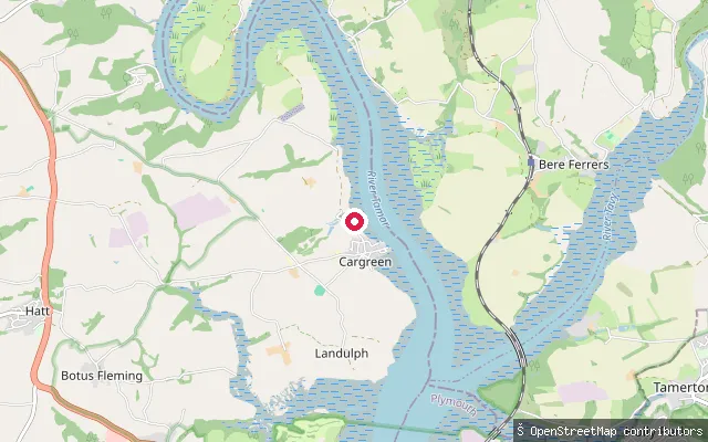
Cornwall, EnglandThis slipway launches onto the tidal River Tamar at Landulph, within the Tamar Valley National Landscape (AONB). The Tamar here is a broad tidal ria, navigable up to a weir just below Gunnislake, with navigation on the lower reaches managed by the Queen's Harbour Master for Plymouth.
 River
RiverLandulph put-in (Cargreen)
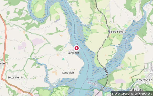
Cornwall, EnglandThis second Landulph-parish slipway lies close to Cargreen village, on the tidal River Tamar within the Tamar Valley National Landscape. The Tamar's tidal channel here also forms the county boundary, with Devon on the opposite bank.
 River
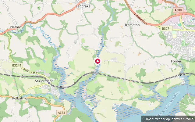
RiverSt Erney put-in
Cornwall, EnglandThis slipway is on the tidal River Lynher near the hamlet of St Erney, in the civil parish of Landrake with St Erney. The estuary here forms part of the Tamar Estuaries Complex, designated a Site of Special Scientific Interest and Special Protection Area for its bird life.
 Sea
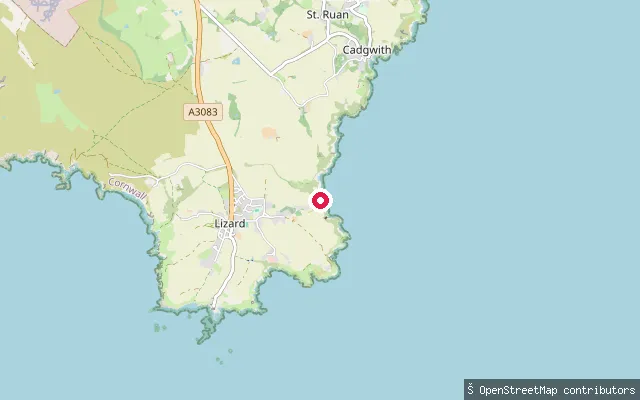
SeaChurch Cove slipway
Cornwall, EnglandChurch Cove is a small rock and shingle cove on the Lizard peninsula, a short walk from Lizard village in the parish of Landewednack. A paved slipway drops to the water past old fishermen's cellars built into the cliff.
 Sea
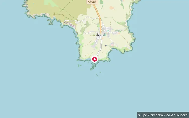
SeaPolpeor Cove slipway
Cornwall, EnglandPolpeor Cove lies immediately east of Lizard Point, the southernmost tip of mainland Britain, in the parish of Landewednack. It holds the disused slipway of the original Lizard lifeboat station, which operated from the cove before the service relocated to Kilcobben Cove in 1961.
 River
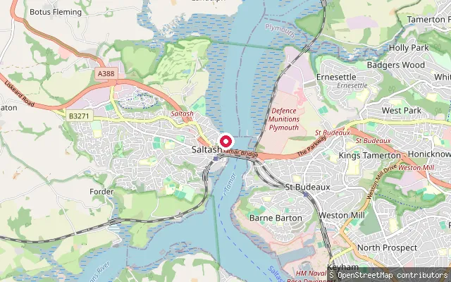
RiverJubilee Green Slipway
Cornwall, EnglandJubilee Green Slipway is a concrete slipway on Old Ferry Road at Waterside in Saltash, on the tidal River Tamar just south of the Tamar road and rail bridges. The King's Harbour Master for Plymouth controls navigation on this reach of the Tamar down to Plymouth Sound.
 Sea
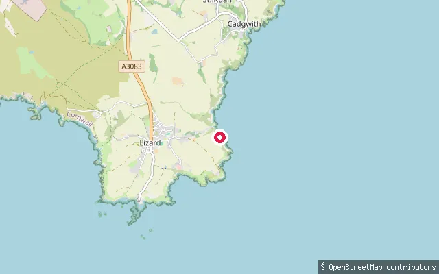
SeaKilcobben Cove slipway
Cornwall, EnglandKilcobben Cove is a small inlet on the south coast of the Lizard peninsula, roughly half a mile east of Lizard village in the parish of Landewednack. It has been home to the RNLI's Lizard lifeboat station since 1961, with a service slipway running down to the water beside the station.
 Sea
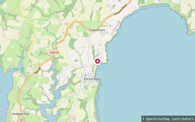
SeaPorthcurnick Beach slipway
Cornwall, EnglandThis slipway reaches Porthcurnick Beach, a sand and shingle beach on Gerrans Bay a short walk north of Portscatho on the Roseland Peninsula. It runs off an unclassified lane through the hamlet of Rosevine.
 Sea
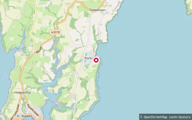
SeaPortscatho harbour slipway
Cornwall, EnglandThis slipway sits on the harbour beach at Portscatho, a fishing village on the Roseland Peninsula that opens onto Gerrans Bay. It lies within a tight cluster of separately mapped slipways around the same small cove.
 Sea
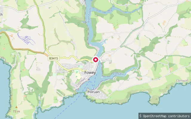
SeaBodinnick Ferry slip, Fowey
Cornwall, EnglandThis concrete slipway sits on the west bank of the Fowey Estuary in the town of Fowey, next to Caffa Mill car park, and forms the Fowey side of the Bodinnick vehicle ferry crossing. The ferry runs to Bodinnick on the opposite bank roughly every 10 to 15 minutes. Fowey Harbour Commissioners require paddlers to register their SUP, kayak or canoe and pay an annual harbour due for use of the estuary.
 Sea
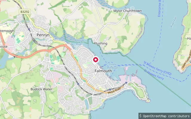
SeaFalmouth put-in
Cornwall, EnglandThis slipway sits below Dunstanville Terrace in Falmouth town, launching onto Falmouth Harbour, the tidal anchorage administered by Falmouth Harbour Commissioners at the meeting point of the Penryn River and Carrick Roads.
 Sea
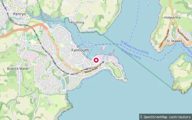
SeaFalmouth put-in
Cornwall, EnglandThis slipway is off Tinners Walk in Falmouth, launching onto Falmouth Harbour, the tidal anchorage administered by Falmouth Harbour Commissioners near the harbour mouth.
 Sea
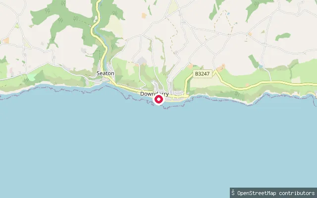
SeaDownderry Beach slipway
Cornwall, EnglandDownderry is a village on Cornwall's south coast at the eastern end of Whitsand Bay, looking out toward Looe Island and Rame Head. A concrete slipway drops from Beach Hill onto the shingle beach, though the gate at the foot of it is usually locked to vehicles, leaving pedestrian access along the beach and coast path.
 Sea
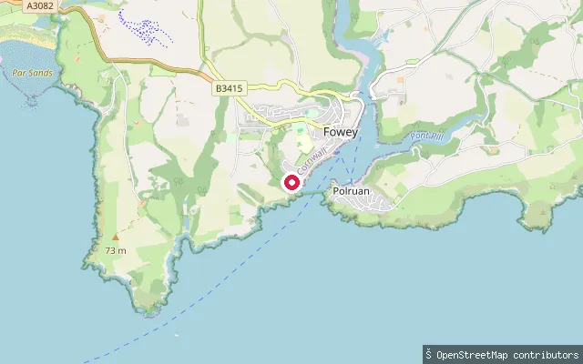
SeaCoombe Farm put-in (Fowey)
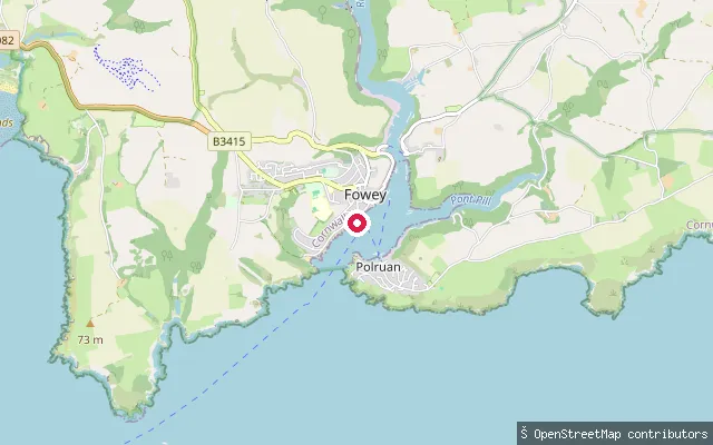
Cornwall, EnglandThis launch point sits on the open coast just west of Fowey's harbour mouth, on the stretch of St Austell Bay between St Catherine's Point and Gribbin Head. Fowey Harbour Commissioners ask paddlers using the harbour's waters to register their craft and to keep to a 6-knot speed limit.
 Sea
SeaCoombe Farm put-in (Fowey)
Cornwall, EnglandThis slipway sits close to Readymoney Cove, just inside the mouth of Fowey Harbour on its western shore near St Catherine's Castle, a small fort built around 1540 to guard the harbour entrance. Fowey Harbour Commissioners require SUPs, kayaks and canoes to be registered and enforce a 6-knot speed limit on the estuary.
 Sea
SeaPort Navas Creek slipway (Lower Calamansack)
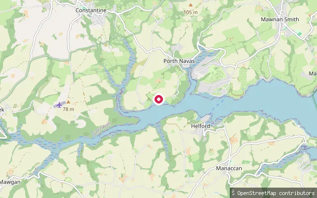
Cornwall, EnglandThis slipway launches onto Port Navas Creek, a tidal arm of the Helford River that dries out at low water, close to the hamlet of Lower Calamansack. The creek and the wider Helford estuary lie within a Special Area of Conservation.
 Sea
SeaPort Navas Creek slipway (Port Navas)
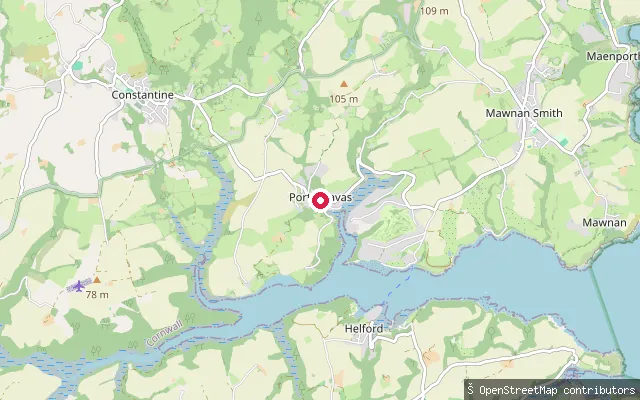
Cornwall, EnglandThis slipway sits on Port Navas Creek, a drying tidal branch of the Helford River between Mawnan Smith and Constantine, close to Port Navas village. The creek is home to a long-established oyster farm.
 Sea
SeaConstantine Bay put-in
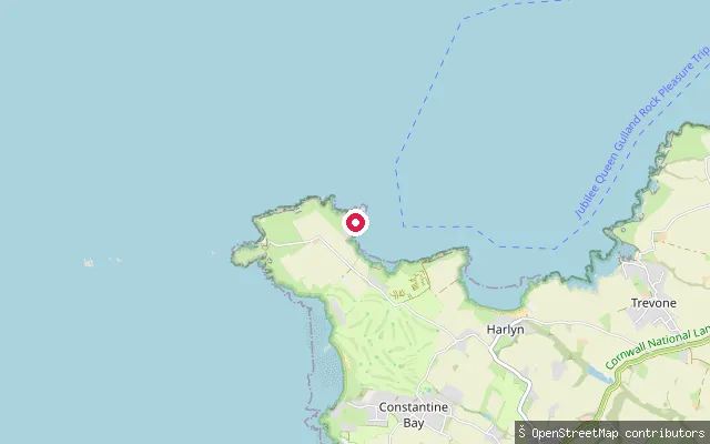
Cornwall, EnglandThis slipway sits at the Padstow all-weather lifeboat station on Trevose Head, within the Constantine Bay area of St Merryn parish on Cornwall's north Atlantic coast. The station moved here from Hawker's Cove in 1967 after Padstow's Doom Bar sandbank made the old harbour site increasingly hard to reach.
 Sea
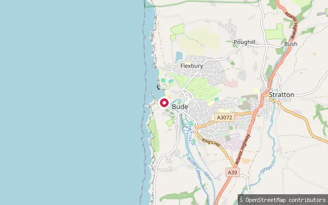
SeaBude Haven slipway (Breakwater Road ramp)
Cornwall, EnglandA service-road slipway off Breakwater Road in Bude, launching into Bude Haven at the mouth of the River Neet beside the town's breakwater and harbour.
 Sea
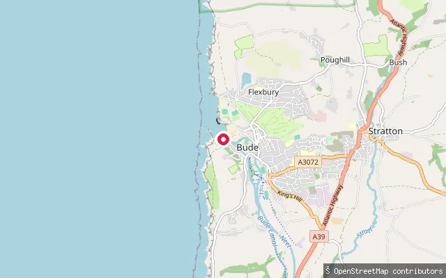
SeaBude Canal sea lock slipway
Cornwall, EnglandThis slipway sits at the mouth of Bude Haven, where the tidal River Neet meets the open Atlantic beside the Bude Canal sea lock. The entrance passes close by Barrel Rock, with the town's breakwater providing the only shelter from the sea beyond it.
 Sea
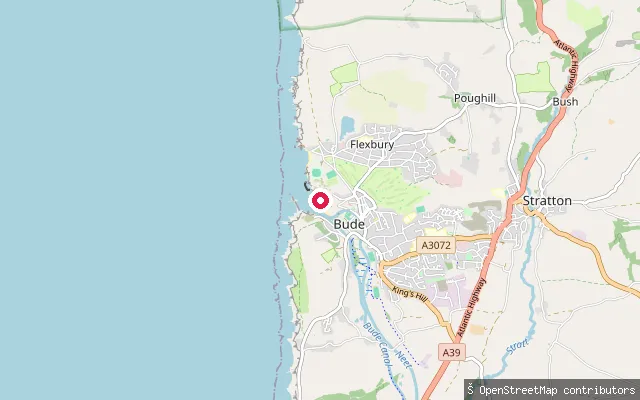
SeaBude breakwater slipway
Cornwall, EnglandA slipway on the coast at Bude, north of the harbour mouth, launching into Bude Haven close to the town's breakwater.
 Sea
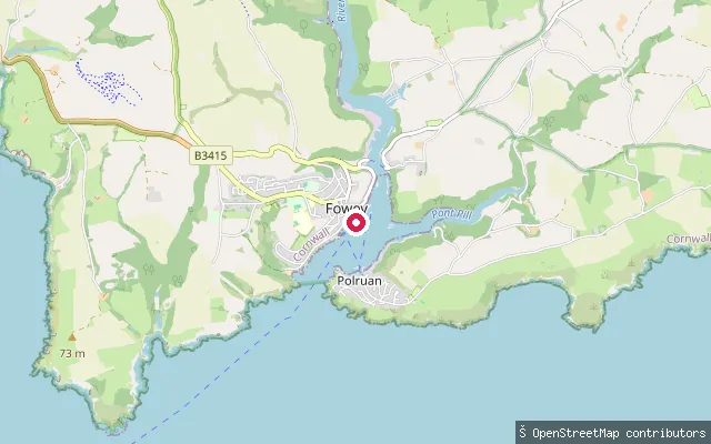
SeaBodinnick put-in
Cornwall, EnglandBodinnick is the hamlet on the eastern bank of the River Fowey estuary where a vehicle and foot ferry crosses to Fowey town. Fowey Harbour Commissioners require small craft such as SUPs and kayaks to be registered, and the nearby Penmarlam Boat Park offers launching arranged in advance through the Harbour Office.
Save your own spots
Keep the places you launch, check the wind and shelter before you go, and log every paddle. Add a spot to the directory too, and other paddlers will find it. Free to start.
Some launch spots in this directory are seeded from open data. © OpenStreetMap contributors · Open Database Licence (ODbL) · Machine-readable copy