Paddleboarding spots in Cornwall
121 launch spots across Cornwall
This weekend’s calmest picks in Cornwall
See the ranked launch spots for the best conditions this weekend
Many inland waterways need a licence to paddle. Check with Paddle UK before you go.
Every mapped spot in Cornwall
Zoom in to split a cluster; open a pin for the spotMap of every spot in Cornwall
The interactive map opens on any device with JavaScript. The full list of launch spots is below.
Launch spots
Showing 24 of 121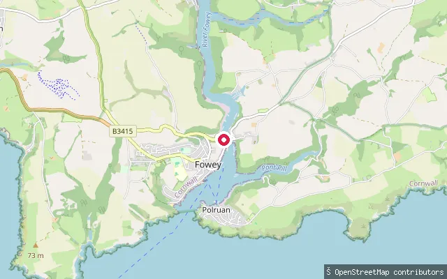 Sea
SeaPassage Slip, Fowey
Cornwall, EnglandPassage Slip sits on the west bank of the Fowey Estuary, a deep-water ria running some 11 kilometres inland from the harbour mouth to its tidal limit near Lostwithiel. The lower harbour here is a working one, shared with china clay shipping, the Bodinnick car ferry and passenger ferries to Polruan, within a stretch of coast that forms part of the Cornwall National Landscape (Area of Outstanding Natural Beauty).
 Sea
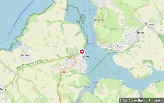
SeaPadstow put-in
Cornwall, EnglandThis slipway sits on North Quay Parade in Padstow, close to the passenger ferry crossing to Rock on the tidal Camel Estuary. Padstow Harbour Commissioners' byelaws and published SUP code of conduct apply to craft launching along this stretch of harbour frontage.
 Sea
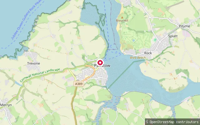
SeaPadstow put-in
Cornwall, EnglandThis concrete slipway sits on North Quay in Padstow's tidal harbour, part of the Camel Estuary on Cornwall's north coast. Padstow Harbour Commissioners publish a SUP code of conduct and the harbour's byelaws apply to small craft launching here.
 Sea
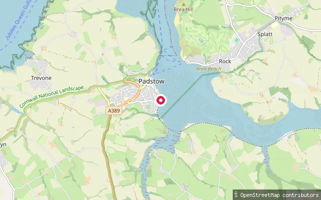
SeaPadstow put-in
Cornwall, EnglandThis slipway is on the open Camel Estuary shore south of Padstow's harbour, near Porthilly View, facing across the tidal estuary towards Rock and Porthilly Cove. The estuary here lies within the Cornwall Area of Outstanding Natural Beauty, with small Sites of Special Scientific Interest nearby at Rock Dunes and Trebetherick Point.
 Sea
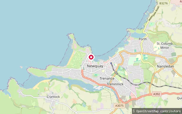
SeaNewquay Harbour Slipway
Cornwall, EnglandNewquay Harbour Slipway launches into Newquay's working harbour on Cornwall's north coast, rebuilt from 1832 on the site of a medieval quay recorded as early as 1439. Newquay's RNLI lifeboat station has operated from the harbour since 1965, alongside its fishing fleet and leisure boats.
 Sea
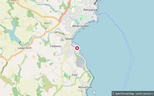
SeaNewlyn Slip
Cornwall, EnglandNewlyn Slip is a ramp in Newlyn's working fishing harbour on Mount's Bay in west Cornwall. It is mapped as a shoreline ramp for launching small craft directly from the harbour front.
 Sea
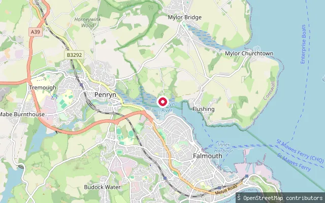
SeaNorth Parade slipway, Falmouth (east)
Cornwall, EnglandThis slipway is on North Parade in Falmouth, launching onto the tidal Penryn River close to its confluence with Carrick Roads, about 150 metres from Sailors Creek, a small named tidal inlet.
 Sea
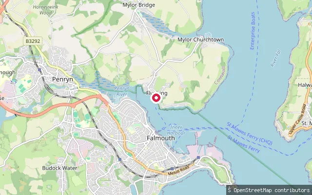
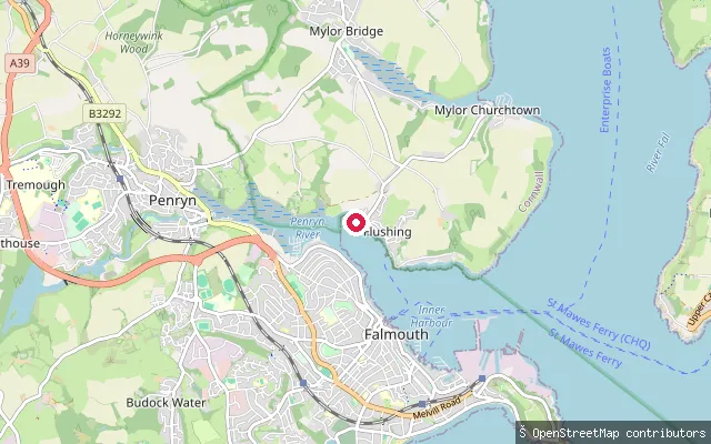
SeaTrefusis Road slipway, Little Falmouth
Cornwall, EnglandThis slipway sits on Trefusis Road in the Little Falmouth part of Flushing, launching onto the tidal Penryn River where it opens into Carrick Roads opposite Falmouth.
 Sea
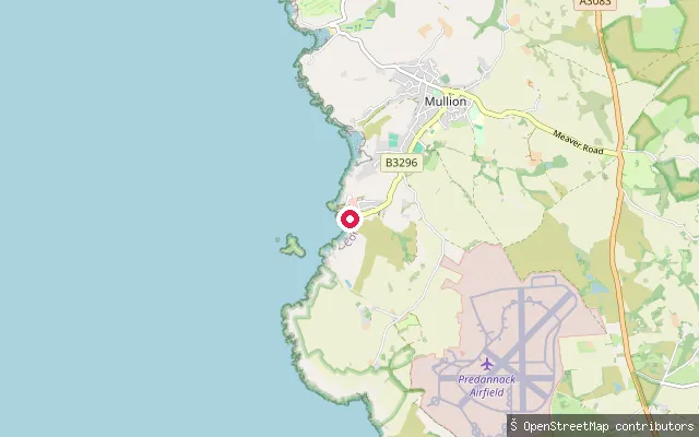
SeaLittle Falmouth slipway (south)
Cornwall, EnglandThis slipway launches onto the Penryn River at Little Falmouth, a small hamlet on the Flushing shore where the river widens into Carrick Roads directly opposite Falmouth. It is tidal saltwater rather than a freshwater river, and a near-identical slipway sits about 65 metres to the north.
 Sea
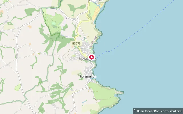
SeaMullion Cove slipway
Cornwall, EnglandThis slipway is at Mullion Cove harbour on the Lizard peninsula, which opens onto Mount's Bay. A small shellfish fishery still operates from the cove, and OpenStreetMap records access to the slipway as permissive.
 Sea
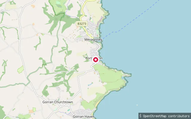
SeaMevagissey Harbour slipway
Cornwall, EnglandMevagissey Harbour is a working fishing and pleasure-boat harbour on the eastern side of Mevagissey Bay in south Cornwall, run as a Trust Port charity by Mevagissey Harbour Trustees since 1988. This concrete slipway is inside the harbour and carries a launching fee set by the trustees.
 Sea
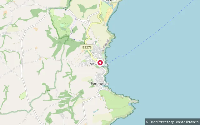
SeaPortmellon slipway
Cornwall, EnglandPortmellon is a small cove hamlet immediately south of Mevagissey, on Mevagissey Bay. It was the original base of Mevagissey's RNLI lifeboat from 1869 until the station moved into the main harbour in 1888.
 Sea
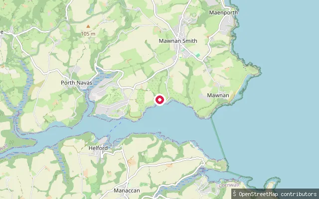
SeaMevagissey Harbour slipway (west quay)
Cornwall, EnglandA second slipway inside Mevagissey Harbour, a short walk from the harbour trustees' fee-paying slipway on the opposite quay. The harbour is a working fishing and pleasure-boat port on the eastern side of Mevagissey Bay.
 Sea
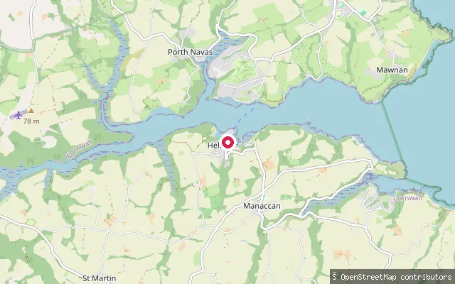
SeaHelford Passage slipway
Cornwall, EnglandThis slipway is on the Helford River at Helford Passage, on the river's north bank opposite Helford village, where a seasonal foot ferry crosses between the two. The Helford is a tidal ria within a Special Area of Conservation.
 Sea
SeaGillan Creek slipway (Manaccan)
Cornwall, EnglandThis slipway launches onto Gillan Creek, a tidal creek of the Helford River that runs through the valley just south of Manaccan. A public byway leads down to the slipway from the village.
 Sea
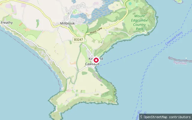
SeaThe Cleave slipway, Kingsand
Cornwall, EnglandThis slipway is at The Cleave in Kingsand, a twin village with Cawsand on the Rame Peninsula that overlooks Cawsand Bay within Plymouth Sound. The South West Coast Path runs through the village, and the OSM element records it as a public footpath (Maker-with-Rame FP 20) as well as a slipway.
 Lake
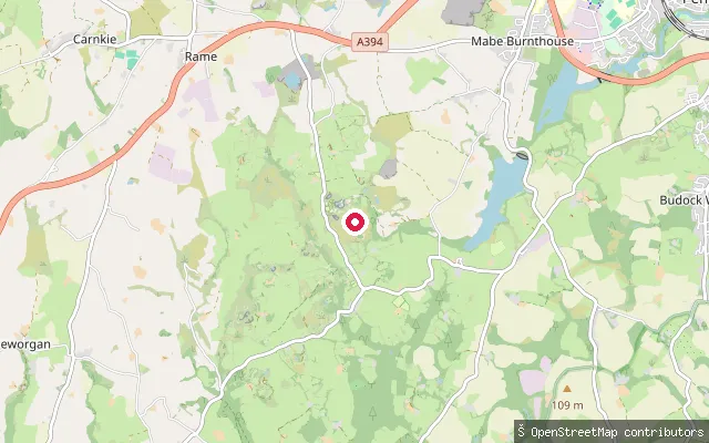
LakeKessel Quarry slipway (Kernow Adventure Park)
Cornwall, EnglandThis slipway serves Kessel Quarry, a flooded former granite quarry at Mabe Burnthouse now run as a commercial watersports site, Kernow Adventure Park. The operator offers paddleboarding, swimming and an aqua park by advance booking.
 River
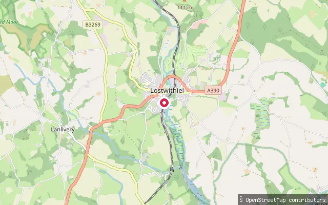
RiverLostwithiel Quay slip
Cornwall, EnglandThis slipway is on Quay Street at Polscoe, just south of Lostwithiel, at the head of the River Fowey's tidal estuary. Fowey Harbour Commissioners' jurisdiction runs from the harbour mouth up to the tidal limit at Lostwithiel's medieval bridge. Lostwithiel was a working river port until siltation reduced navigation, and a horse-drawn tramway once carried ore from the Restormel mine down to the town quay.
 Sea
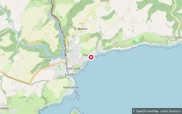
SeaPlaidy Beach slipway
Cornwall, EnglandPlaidy Beach lies on the cliffs east of Looe harbour, between the town and the bay and village of Millendreath. A slipway off Plaidy Lane gives direct access to the beach on this stretch of the open south Cornwall coast.
 Sea
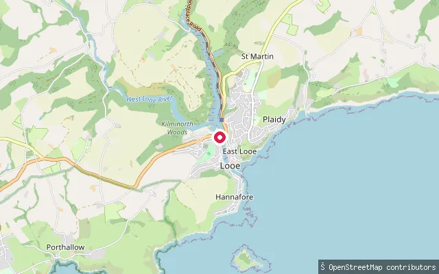
SeaTalland coast slipway (Portlooe)
Cornwall, EnglandThis slipway sits on the short stretch of coast between Looe and Polperro, close to the hamlet of Portlooe. The nearest named water is Talland Bay, which holds two sheltered shingle beaches, Talland Sand and Rotterdam Beach, served by a small car park and cafe.
 Sea
SeaTalland Bay slipway (Millpool)
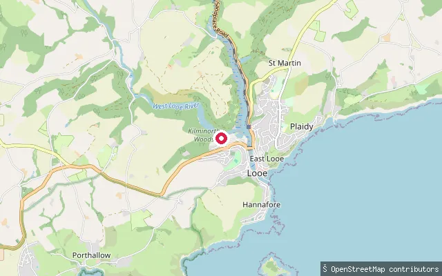
Cornwall, EnglandThis slipway sits on the tidal West Looe River at Millpool, on the edge of Looe's main long-stay car park, not on the open coast the name suggests. From here the river runs down past Looe's quays to reach the sea at Looe Bay, roughly a mile downstream; Talland Bay lies a further stretch of coastline beyond that, to the west.
 Sea
SeaMixtow slip
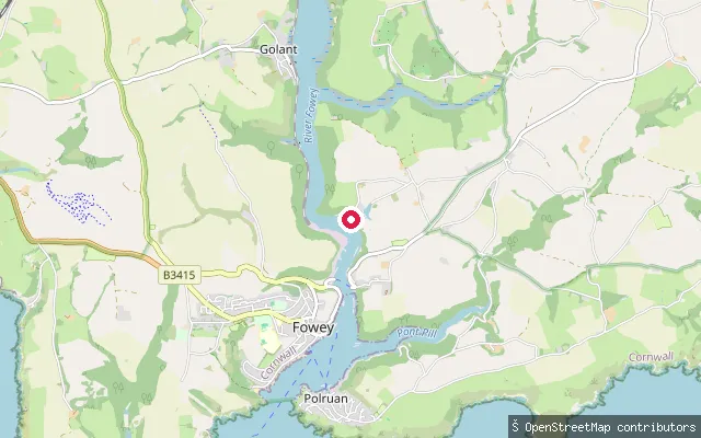
Cornwall, EnglandThis slipway is at Mixtow, a small hamlet on the east bank of the Fowey Estuary between Bodinnick and Golant, in the parish of Lanteglos. Fowey Harbour Commissioners require paddlers to register their craft and pay an annual harbour due, as the estuary here falls within the Commissioners' jurisdiction, which runs from the harbour mouth to Lostwithiel's medieval bridge.
 Sea
SeaMixtow foreshore slip
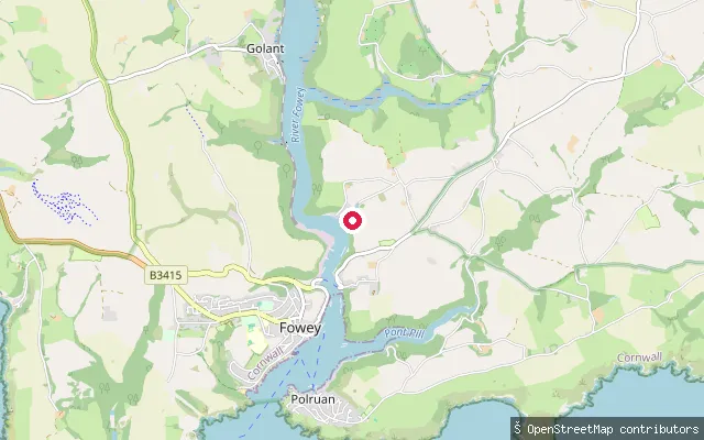
Cornwall, EnglandThis slipway lies around 160 metres from another launch point at Mixtow, a hamlet on the east bank of the Fowey Estuary between Bodinnick and Golant. Fowey Harbour Commissioners require paddlers to register their craft and pay an annual harbour due for use of the estuary.
 Sea
SeaPolruan slip, East Street
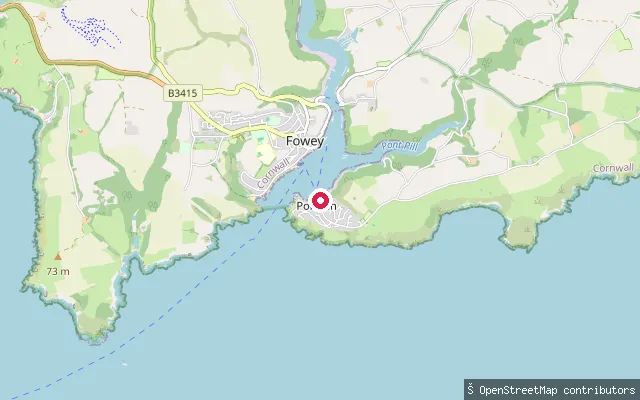
Cornwall, EnglandThis slipway is on East Street in Polruan, on the east bank of the Fowey Estuary directly opposite Fowey town. The sheltered stretch of water here is known locally as Polruan Pool, and a passenger ferry crosses to Fowey roughly every 15 minutes. Fowey Harbour Commissioners require paddlers to register their craft and pay an annual harbour due for use of the estuary.
Save your own spots
Keep the places you launch, check the wind and shelter before you go, and log every paddle. Add a spot to the directory too, and other paddlers will find it. Free to start.
Some launch spots in this directory are seeded from open data. © OpenStreetMap contributors · Open Database Licence (ODbL) · Machine-readable copy