Paddleboarding spots in Norfolk
53 launch spots across Norfolk
This weekend’s calmest picks in Norfolk
See the ranked launch spots for the best conditions this weekend
Many inland waterways need a licence to paddle. Check with Paddle UK before you go.
Every mapped spot in Norfolk
Zoom in to split a cluster; open a pin for the spotMap of every spot in Norfolk
The interactive map opens on any device with JavaScript. The full list of launch spots is below.
Launch spots
Showing 24 of 53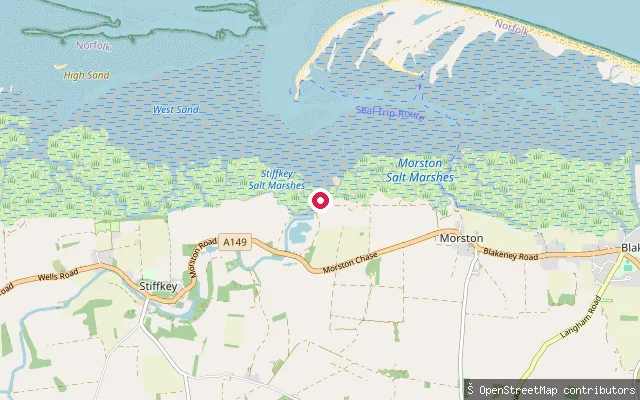 Sea
SeaMorston put-in
Norfolk, EnglandThis point sits on the tidal saltmarsh creek at Morston on the North Norfolk coast, roughly a mile and a half west of the better-known Morston Quay, where the creek system drains out into Blakeney Channel and, beyond Blakeney Point, the open North Sea. National Trust guidance covering the Morston and Blakeney area recommends paddling within an hour either side of high water, when the current runs slowest.
 River
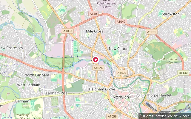
RiverSloughbottom Park slipway
Norfolk, EnglandAn informal access point onto the River Wensum at Sloughbottom Park, next to Mile Cross in Norwich. A free car park serves a level, half-mile paved path down to the river, where a stretch of collapsed artificial bank forms a workable on-off point rather than a built pontoon.
 River
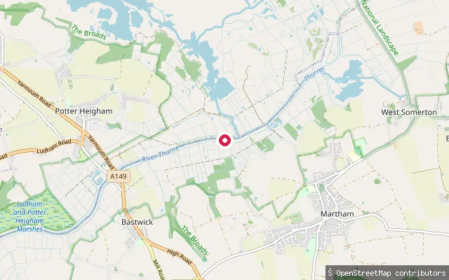
RiverMartham Boat Building and Development slipway
Norfolk, EnglandThis slipway on the River Thurne belongs to Martham Boat Building and Development, a traditional boatyard at Cess, on the outskirts of Martham, that hires canoes and paddleboards as well as Broads cruisers. It is roughly 3 km upstream (north) of Martham Broad National Nature Reserve, a separate site on the Thurne managed by Norfolk Wildlife Trust.
 River
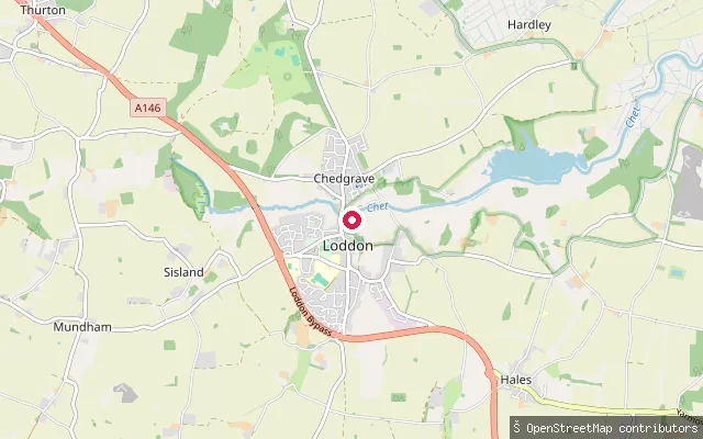
RiverLoddon put-in (South Norfolk)
Norfolk, EnglandThis slipway sits at Loddon Staithe on the River Chet on the Norfolk Broads, opposite the town's 18th-century watermill. The Chet is tidal here despite lying well inland, with a rise and fall of up to 2.5 feet, and is navigable for about 3.5 miles upstream from Loddon.
 Lake
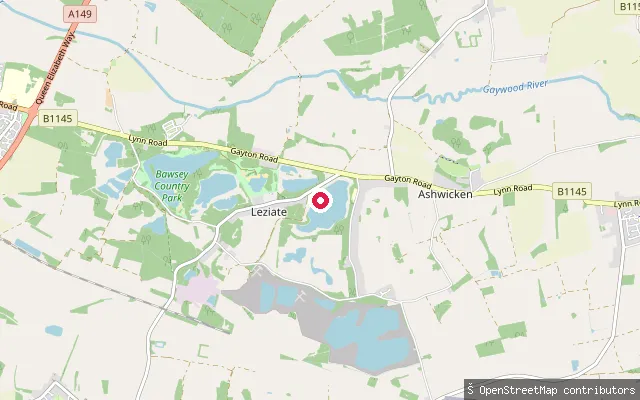
LakeLeziate put-in
Norfolk, EnglandA slipway on an unnamed flooded pit near the hamlet of Leziate, in a belt of former silica-sand workings west of King's Lynn worked commercially since the 1840s. The pit itself carries no name in available mapping, so treat this as an unverified, likely small and possibly private water.
 Sea
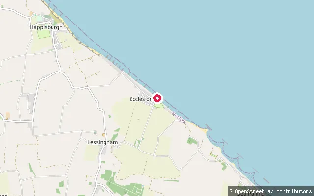
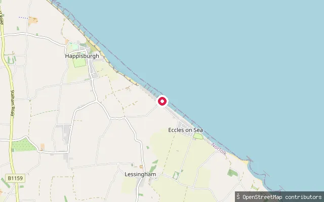
SeaLessingham put-in (North Norfolk)
Norfolk, EnglandThis slipway sits on the coast at Eccles-on-Sea, within Lessingham parish, on the stretch of shore where the medieval village of Eccles-next-the-Sea was lost to the sea by the late sixteenth century. The beach here is open, exposed North Sea coast reached down a narrow lane.
 Sea
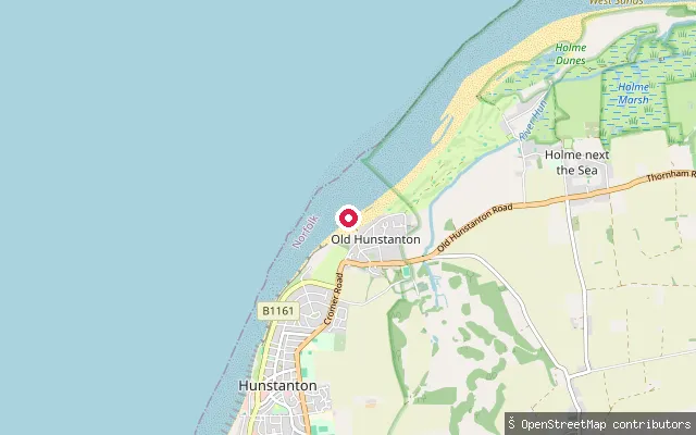
SeaHunstanton Lifeboat Station slipway
Norfolk, EnglandThe inshore rescue boat slipway at Hunstanton Lifeboat Station on Sea Lane, Old Hunstanton, at the point where the Wash meets the open North Sea. This is the RNLI's only east-coast station that faces west, and it launches its lifeboat and hovercraft by amphibious tractor across the beach and mudflats rather than a conventional public slipway.
 River
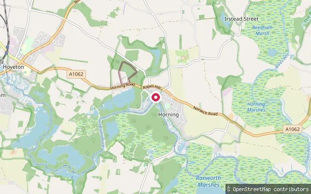
RiverHorning put-in (North Norfolk)
Norfolk, EnglandThis slipway on the River Bure at Horning sits by Horning Sailing Club, with toilets and paths noted alongside it on OpenStreetMap. Horning Sailing Club races on this stretch of river and down towards Thurne and Acle, and hosts the annual Three Rivers Race each June.
 Lake
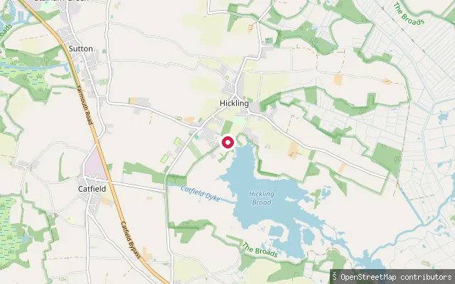
LakeHickling put-in (North Norfolk)
Norfolk, EnglandThis is Hickling Parish Staithe on Staithe Road, Hickling, the parish-run launch point for Hickling Broad, the largest of the Norfolk Broads and a Norfolk Wildlife Trust nature reserve. Norfolk Wildlife Trust asks paddlers not to launch from its own NWT Hickling Staithe, a short walk further along the same road, and directs them here instead.
 Sea
SeaHappisburgh put-in (North Norfolk)
Norfolk, EnglandThis ramp gives access to Happisburgh beach below the village's eroding cliffs, near the site of the original lifeboat station. The council has built a low rock bund along the cliff base to slow erosion, and the access ramp itself has previously been closed for repair after storm damage.
 River
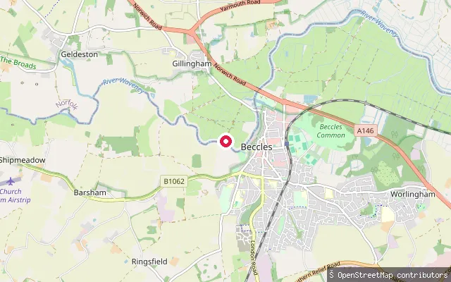
RiverGillingham put-in (South Norfolk)
Norfolk, EnglandThis slipway sits on the River Waveney around 700 metres from another harvested launch point near Gillingham Dam, on the Norfolk bank opposite Beccles. No further detail on the facility itself was found beyond its position on this tidal stretch of the Waveney.
 River
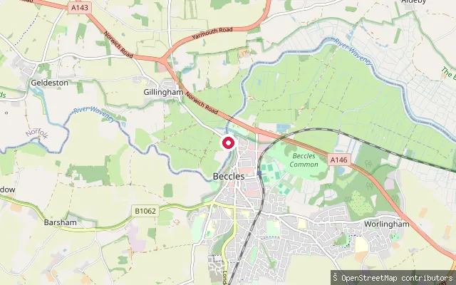
RiverGillingham put-in (South Norfolk)
Norfolk, EnglandThis slipway lies on the River Waveney near Gillingham Dam, close to Hippersons Boatyard on the Norfolk bank opposite Beccles. It gives access to a tidal stretch of the Waveney that forms part of the Broads Authority navigation area.
 Sea
SeaEast Runton put-in (North Norfolk)
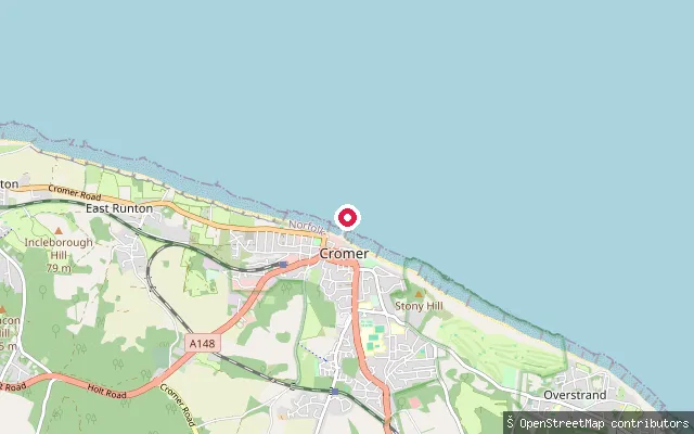
Norfolk, EnglandThe East Runton slipway, known locally as East Runton Gap, drops from the clifftop village to a sand-and-shingle beach on the open North Sea between West Runton and Cromer. Pay-and-display parking and toilets sit at the cliff top above the slipway.
 Sea
SeaEast End
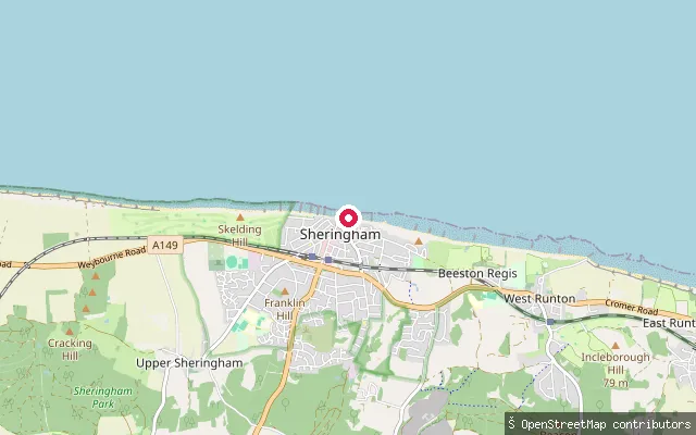
Norfolk, EnglandEast End is a beach access point at the eastern end of Sheringham promenade, close to East Beach Slipway and a run of colourful beach huts. Like the rest of Sheringham beach, it is exposed open North Sea coast that narrows sharply as the tide rises.
 Sea
SeaEast Beach Slipway
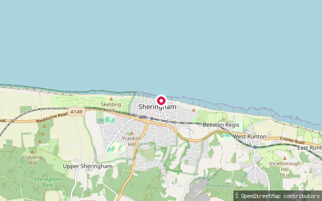
Norfolk, EnglandEast Beach Slipway gives access to the open North Sea from Sheringham's East Promenade, near a run of beach huts towards the eastern end of town. The beach is mostly sand at low water but is covered as the tide rises.
 River
RiverDog swim point, Bowthorpe Southern Park
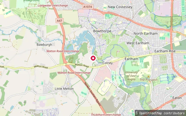
Norfolk, EnglandThis informal access point sits on the River Yare in Bowthorpe Southern Park on the western edge of Norwich, along a stretch that forms part of the Yare Valley Walk past a chain of city nature reserves including Bowthorpe Marsh and Earlham Park Woods. OpenStreetMap marks it as a dog-swimming spot with a ground-level entry to the water.
 River
RiverDog Swim Point
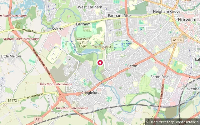
Norfolk, EnglandAn informal dirt-surfaced access point onto the River Yare off Bluebell Road in Eaton, Norwich, close to Earlham Park. The name and dirt-surface tagging come from OpenStreetMap; the river along this stretch runs shallow, which locals use for letting dogs swim.
 River
RiverDenver put-in (King's Lynn and West Norfolk)
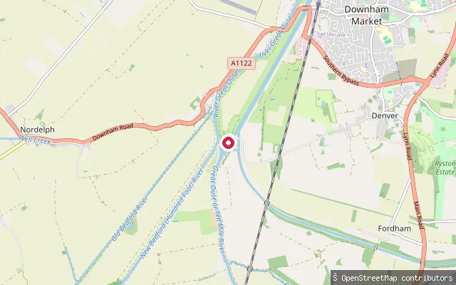
Norfolk, EnglandDenver Sluice marks the tidal limit of the Great Ouse, where the tidal river running north to King's Lynn and the Wash meets the non-tidal Ely Ouse arriving from the south, the New Bedford (Hundred Foot) River, the Great Ouse Relief Channel and the Cut-off Channel, all controlled by Environment Agency structures at the Denver Complex. The surrounding Ouse Washes, the seasonally flooded washland between the Old and New Bedford Rivers, is designated a Site of Special Scientific Interest, Special Protection Area, Special Area of Conservation and Ramsar site.
 Sea
SeaCromer put-in (North Norfolk)
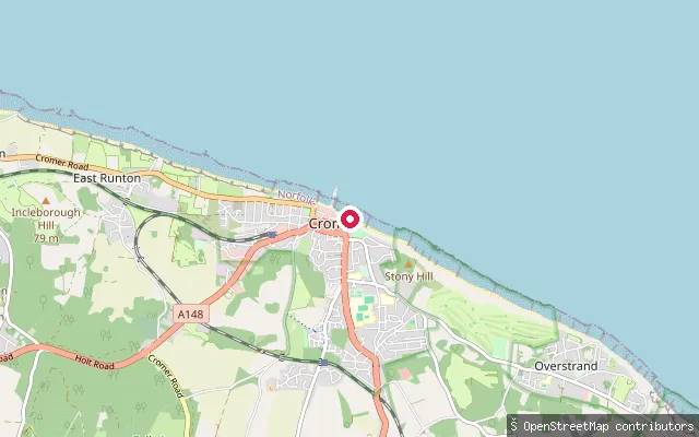
Norfolk, EnglandCromer's beach slipway sits beneath the town's cliffs, reached from the promenade by a cliff lift as well as by steps. It is used to launch the town's traditional small fishing boats onto the open North Sea, and the beach itself shifts from sand to shingle as the tide rises.
 River
RiverColtishall put-in (Broadland)
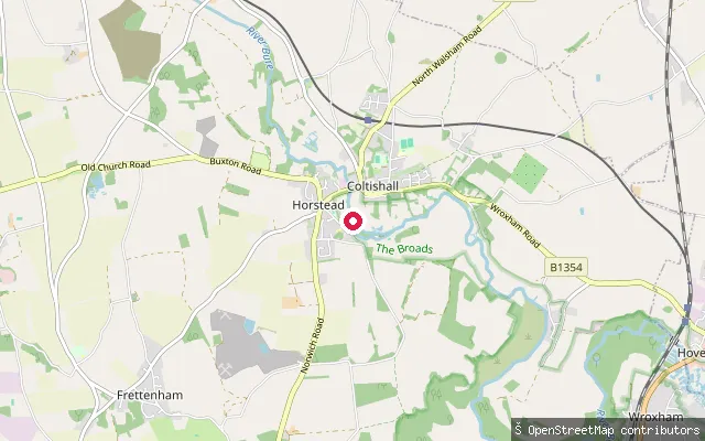
Norfolk, EnglandThis launch point is on the River Bure at Coltishall Common, marking the start of the navigable River Bure and sometimes called the gateway to the Broads. A local source notes that launching from the common is not strictly permitted by the parish council, and cites Belaugh downstream as an alternative.
 Sea
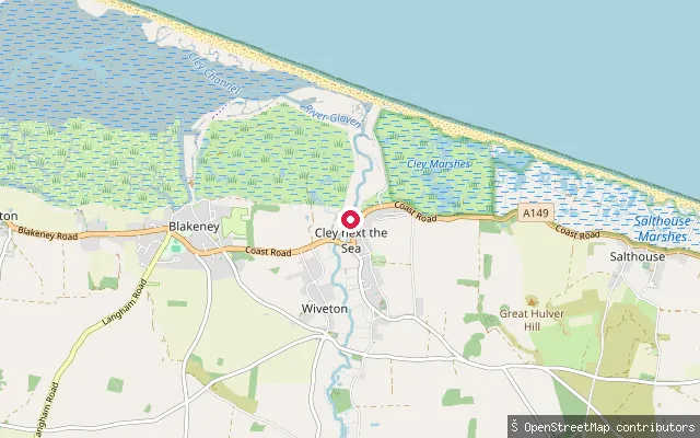
SeaCley Harbour
Norfolk, EnglandCley Harbour is a small tidal port on the River Glaven, where the river reaches the saltmarsh and connects into the wider Blakeney Estuary on the North Norfolk coast. The Cley Harbour Community Committee maintains the quay and channel, including de-silting work in 2024, and has installed a canoe rack with steps for paddlers and rowers at the quay.
 Sea
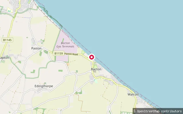
SeaBacton Green put-in (Cliff Top)
Norfolk, EnglandThis slipway gives access to the North Sea at Cliff Top in Bacton Green, a hamlet on the coast just north of Bacton village. No record of a 'Church Farm' was found at this location; nothing further about the launch itself was verifiable beyond its position and its OSM tagging as a slipway.
 River
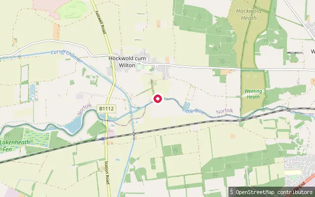
RiverChalkhall Farm put-in (King's Lynn and West Norfolk)
Norfolk, EnglandThis slipway is reached along Moor Drove and launches onto the River Little Ouse near Hockwold cum Wilton, close to Chalkhall Farm. From here the river continues west through the fens to join the River Great Ouse at Brandon Creek.
 Sea
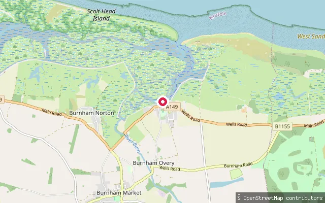
SeaBurnham Overy Staithe (the Hard)
Norfolk, EnglandBurnham Overy Harbour is the tidal estuary of the River Burn, a network of creeks winding through saltmarsh on the North Norfolk coast. It lies within the North Norfolk Coast Site of Special Scientific Interest, with Scolt Head Island, a National Trust barrier island nature reserve, immediately seaward and reached by a seasonal ferry from the quay at Burnham Overy Staithe.
Save your own spots
Keep the places you launch, check the wind and shelter before you go, and log every paddle. Add a spot to the directory too, and other paddlers will find it. Free to start.
Some launch spots in this directory are seeded from open data. © OpenStreetMap contributors · Open Database Licence (ODbL) · Machine-readable copy