Log in

Paddleboarding spots in Norfolk

65 launch spots across Norfolk

Every mapped spot in Norfolk

Zoom in to split a cluster; open a pin for the spot

Map of every spot in Norfolk

The interactive map opens on any device with JavaScript. The full list of launch spots is below.

Launch spots

Showing 17 of 65
East Runton put-in (North Norfolk)Sea

East Runton put-in (North Norfolk)

Norfolk, England

The East Runton slipway, known locally as East Runton Gap, drops from the clifftop village to a sand-and-shingle beach on the open North Sea between West Runton and Cromer. Pay-and-display parking and toilets sit at the cliff top above the slipway.

East EndSea

East End

Norfolk, England

East End is a beach access point at the eastern end of Sheringham promenade, close to East Beach Slipway and a run of colourful beach huts. Like the rest of Sheringham beach, it is exposed open North Sea coast that narrows sharply as the tide rises.

East Beach SlipwaySea

East Beach Slipway

Norfolk, England

East Beach Slipway gives access to the open North Sea from Sheringham's East Promenade, near a run of beach huts towards the eastern end of town. The beach is mostly sand at low water but is covered as the tide rises.

Dog swim point, Bowthorpe Southern ParkRiver

Dog swim point, Bowthorpe Southern Park

Norfolk, England

This informal access point sits on the River Yare in Bowthorpe Southern Park on the western edge of Norwich, along a stretch that forms part of the Yare Valley Walk past a chain of city nature reserves including Bowthorpe Marsh and Earlham Park Woods. OpenStreetMap marks it as a dog-swimming spot with a ground-level entry to the water.

Dog Swim PointRiver

Dog Swim Point

Norfolk, England

An informal dirt-surfaced access point onto the River Yare off Bluebell Road in Eaton, Norwich, close to Earlham Park. The name and dirt-surface tagging come from OpenStreetMap; the river along this stretch runs shallow, which locals use for letting dogs swim.

Denver put-in (King's Lynn and West Norfolk)River

Denver put-in (King's Lynn and West Norfolk)

Norfolk, England

This slipway sits at Denver Sluice, where the Environment Agency controls the boundary between the non-tidal Great Ouse above and the tidal river below, alongside the Great Ouse Relief Channel and the Cut-off Channel, which also meet at this junction. Unpowered craft using this stretch of the Anglian Waterways network need to be registered with the Environment Agency.

Cromer put-in (North Norfolk)Sea

Cromer put-in (North Norfolk)

Norfolk, England

Cromer's beach slipway sits beneath the town's cliffs, reached from the promenade by a cliff lift as well as by steps. It is used to launch the town's traditional small fishing boats onto the open North Sea, and the beach itself shifts from sand to shingle as the tide rises.

Coltishall put-in (Broadland)River

Coltishall put-in (Broadland)

Norfolk, England

This launch point is on the River Bure at Coltishall Common, marking the start of the navigable River Bure and sometimes called the gateway to the Broads. A local source notes that launching from the common is not strictly permitted by the parish council, and cites Belaugh downstream as an alternative.

Cley HarbourSea

Cley Harbour

Norfolk, England

Cley Harbour is a small tidal port on the River Glaven, where the river reaches the saltmarsh and connects into the wider Blakeney Estuary on the North Norfolk coast. The Cley Harbour Community Committee maintains the quay and channel, including de-silting work in 2024, and has installed a canoe rack with steps for paddlers and rowers at the quay.

Bacton Green put-in (Cliff Top)Sea

Bacton Green put-in (Cliff Top)

Norfolk, England

This slipway gives access to the North Sea at Cliff Top in Bacton Green, a hamlet on the coast just north of Bacton village. No record of a 'Church Farm' was found at this location; nothing further about the launch itself was verifiable beyond its position and its OSM tagging as a slipway.

Chalkhall Farm put-in (King's Lynn and West Norfolk)River

Chalkhall Farm put-in (King's Lynn and West Norfolk)

Norfolk, England

This slipway is reached along Moor Drove and launches onto the River Little Ouse near Hockwold cum Wilton, close to Chalkhall Farm. From here the river continues west through the fens to join the River Great Ouse at Brandon Creek.

Burnham Overy Staithe (the Hard)Sea

Burnham Overy Staithe (the Hard)

Norfolk, England

Burnham Overy Staithe sits on Burnham Overy Harbour, the tidal creek of the River Burn on the North Norfolk coast, with the Hard providing a flat, gravelled slipway and car park for launching. The creek is navigable for only four to five hours either side of high tide, the Hard itself can flood on high springs, and the Burnham Overy Harbour Trust requires paddlecraft to be licensed to use the harbour.

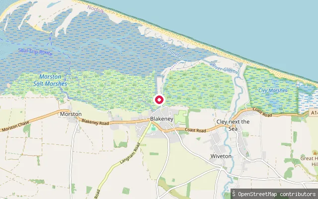
Blakeney Quay put-inSea

Blakeney Quay put-in

Norfolk, England

This put-in lies a short distance from Blakeney Quay's main slipway, on the same tidal creek that links to Blakeney Channel and Blakeney Harbour; Blakeney Parish Council notes a second public slipway near the dinghy park at the quay's east end. As with the rest of the quay, the water is tidal and the quayside floods on high spring tides.
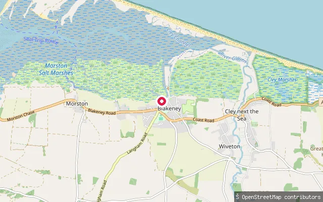
Blakeney SlipwaySea

Blakeney Slipway

Norfolk, England

Blakeney Quay sits on a tidal creek that links to Blakeney Channel, Blakeney Harbour and, beyond Blakeney Point, the North Sea; the quayside floods on high spring tides. A public slipway at the west end of the quay gives access to the water, and kayaks and paddleboards can be hired here in season for trips along the channel towards Cley or west towards Morston.
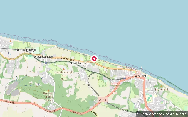
Beach RoadSea

Beach Road

Norfolk, England

Beach Road leads down a concrete slipway onto the open North Sea coast at West Runton, between Sheringham and Cromer. Much of the beach submerges at high tide, and the sea retreats a long way at low water to expose sand and rock pools. Seasonal RNLI lifeguards patrol the beach in summer.
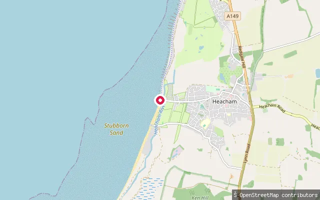
Heacham South Beach slipwaySea

Heacham South Beach slipway

Norfolk, England

A slipway on Heacham's South Promenade, on the Wash coast between Snettisham and Hunstanton. Norfolk County Council's rights-of-way data record it as a public right of way, and the beach here is sand mixed with shingle backed by low dunes, with a cafe, toilets and a promenade towards Hunstanton nearby.

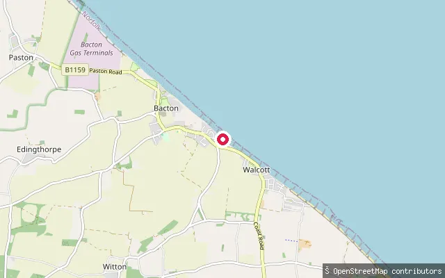
Bacton put-in (North Norfolk)Sea

Bacton put-in (North Norfolk)

Norfolk, England

This is the same Bacton beach slipway as the OSM node mapped fourteen metres away, reached from the B1159 via the turning just past Bacton Gas Terminal. The terminal, which handles roughly a third of UK gas supply, now sits only metres from the sea after long-term erosion, addressed by a 2019 sandscaping scheme along this coast.

Save your own spots

Keep the places you launch, check the wind and shelter before you go, and log every paddle. Add a spot to the directory too, and other paddlers will find it. Free to start.

Some launch spots in this directory are seeded from open data. © OpenStreetMap contributors · Open Database Licence (ODbL)