Paddleboarding spots in Devon
110 launch spots across Devon
This weekend’s calmest picks in Devon
See the ranked launch spots for the best conditions this weekend
Many inland waterways need a licence to paddle. Check with Paddle UK before you go.
Every mapped spot in Devon
Zoom in to split a cluster; open a pin for the spotMap of every spot in Devon
The interactive map opens on any device with JavaScript. The full list of launch spots is below.
Launch spots
Showing 24 of 110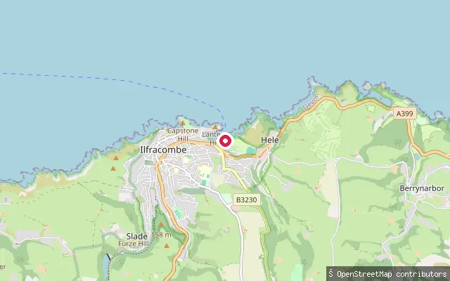 Sea
SeaIlfracombe Watersports Hub slipway
Devon, EnglandLarkstone Cove is a small sandy cove on the eastern side of Ilfracombe's working harbour, at the foot of Hillsborough headland and a short walk from the town's harbour entrance and pier.
 Sea
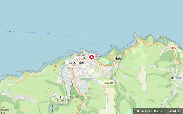
SeaIlfracombe public slipway
Devon, EnglandThis concrete slipway sits in Larkstone Cove near Hele, on Ilfracombe's eastern edge. It is operated by North Devon Council and is lit, with launching fees payable at the harbour office on the pier before use.
 Sea
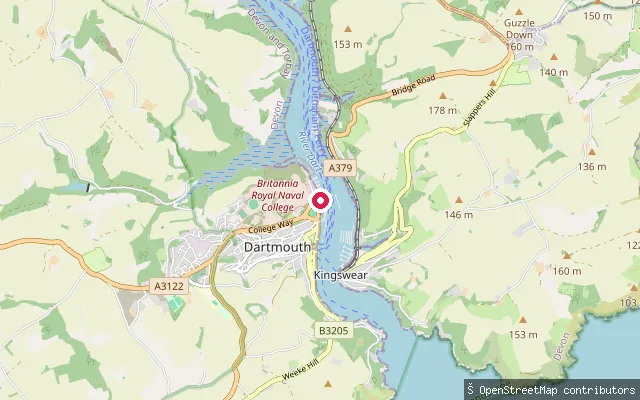
SeaHigher Ferry public slipway
Devon, EnglandA public slipway at the Higher Ferry crossing on the River Dart between Dartmouth and Kingswear. OpenStreetMap notes that harbour dues are payable to the Dart Harbour and Navigation Authority for its use, and it stands about 8.5 metres from the ferry's own private slip.
 Sea
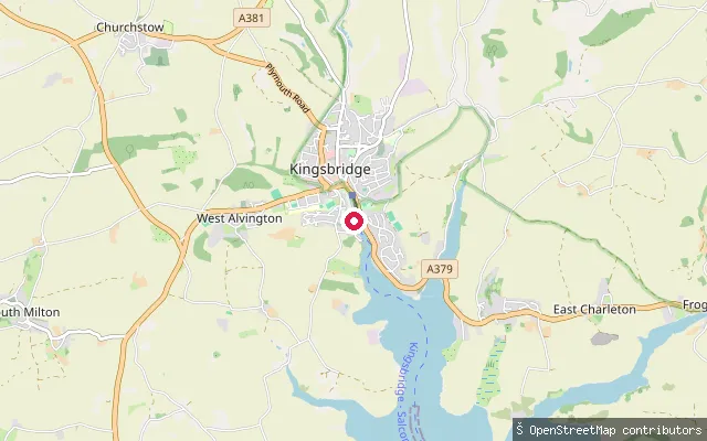
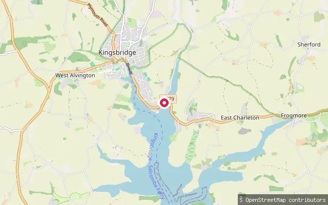
SeaKingsbridge Estuary slipway
Devon, EnglandThis slipway launches onto the Kingsbridge Estuary just south of Kingsbridge town, at the tidal upper end of the ria.
 Sea
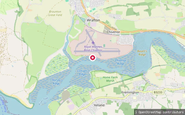
SeaKingsbridge Estuary slipway
Devon, EnglandThis slipway launches onto the Kingsbridge Estuary a little over a kilometre from Kingsbridge town, on the tidal upper reaches of the ria.
 Sea
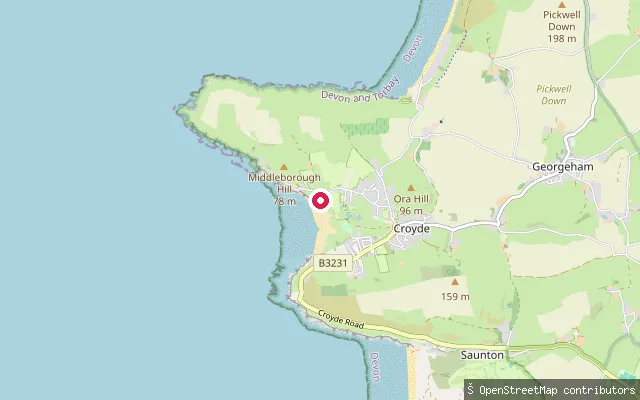
SeaHeanton Punchardon put-in (North Devon)
Devon, EnglandThis slipway sits on the north bank of the Taw estuary near Chivenor, about a mile from Heanton Punchardon village. RSPB Isley Marsh, a saltmarsh and mudflat reserve important for wintering curlew, greenshank and dunlin, lies across the water. The coordinate sits close to the perimeter of Royal Marines Base Chivenor, so public access to this exact spot has not been confirmed.
 Sea
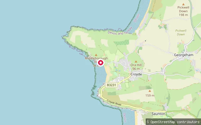
SeaCroyde Bay slipway (south)
Devon, EnglandCroyde Bay is a west-facing, sandy Bristol Channel bay in North Devon, with dunes behind the beach and Baggy Point, owned by the National Trust, forming its northern headland. This slipway gives pedestrian access from Beach Road, and is waymarked as public footpath Georgeham Footpath 32. The bay holds Blue Flag status and is one of North Devon's best-known surf beaches, shaped by the Bristol Channel's exceptionally large tidal range.
 Sea
SeaCroyde Bay slipway (north)
Devon, EnglandCroyde Bay is a west-facing, sandy Bristol Channel bay in North Devon, with dunes behind the beach and Baggy Point, owned by the National Trust, forming its northern headland. This slipway sits on Beach Road, around 270 m north of another mapped slipway on the same beach frontage.
 Sea
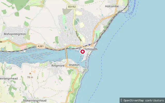
SeaGales Hill
Devon, EnglandGales Hill is a named slipway off Quay Road in Teignmouth, on the town's estuary quay opposite Shaldon. Teignmouth's quays have handled shipping since the 13th century, with the Old Quay dating from the mid-18th century.
 Sea
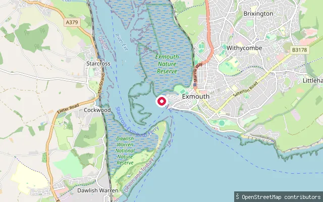
SeaExmouth Belshers Slipway
Devon, EnglandBelshers Slipway launches into the tidal Exe Estuary from the Camperdown/Docks side of Exmouth. OSM records it as a concrete slipway on a public byway (Exmouth Byway 16) open to foot, horse and vehicle traffic. The Exe Water Users Code, published by the Exe Estuary Management Partnership, sets a 10-knot speed byelaw and asks paddlers to keep at least 100m from birds and use recognised launch points.
 Sea
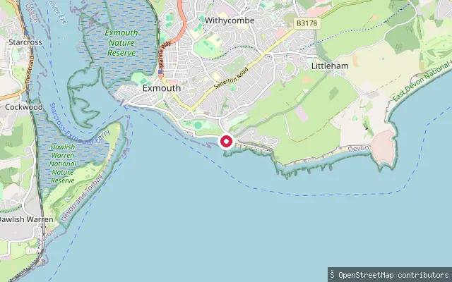
SeaExmouth Queen's Drive slipway
Devon, EnglandThis concrete beach slipway is on Queen's Drive, Exmouth's open seafront that runs east from the town along a two-mile sandy beach towards the cliffs of the High Land of Orcombe. It faces Lyme Bay and the open English Channel rather than the sheltered Exe Estuary, close to the town's lifeboat station. OSM records the slipway with permissive access and an excellent-smoothness concrete surface.
 Sea
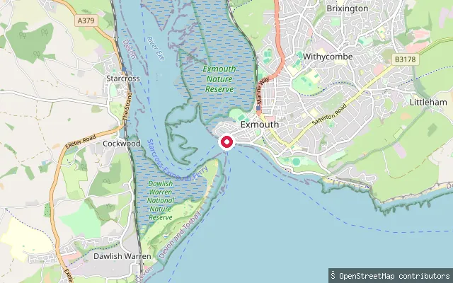
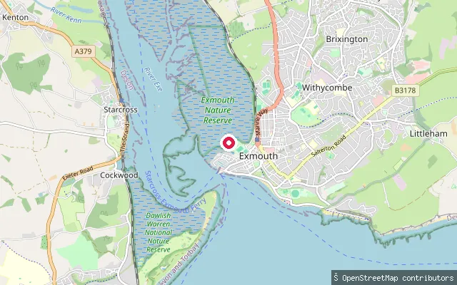
SeaExmouth Pier Head slipway
Devon, EnglandThis slipway launches from Pier Head into the tidal Exe Estuary at Exmouth Docks, the town's western waterfront where the estuary narrows before reaching the sea. It sits close to Exmouth Marina and the harbour master's office. The Exe Water Users Code, published by the Exe Estuary Management Partnership, sets a 10-knot speed byelaw across the estuary and asks paddlers to use recognised launch points and keep at least 100m from birds.
 Sea
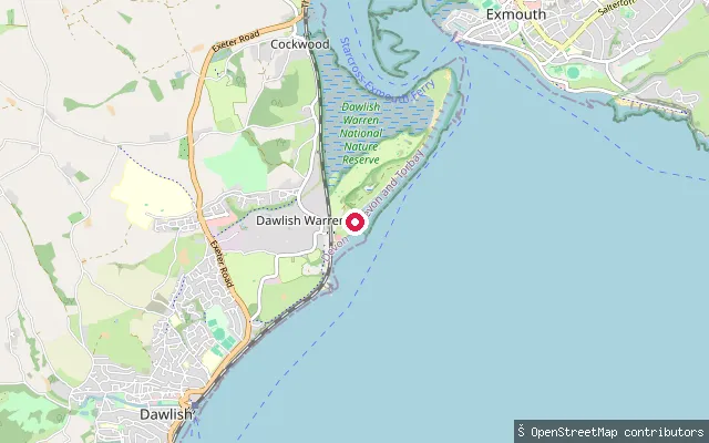
SeaExmouth Camperdown Terrace slipway
Devon, EnglandThis slipway sits further north along Exmouth's Camperdown waterfront, near Imperial Recreation Ground, launching into the tidal Exe Estuary. OSM notes it was last mapped as extending out into the water, with no access restriction recorded. The Exe Water Users Code, published by the Exe Estuary Management Partnership, sets a 10-knot speed byelaw and asks paddlers to keep at least 100m from birds.
 Sea
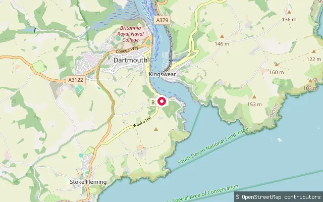
SeaDawlish Warren slipway (Beach Walk)
Devon, EnglandThis slipway sits on Beach Walk on the seaward side of the Dawlish Warren sand spit, which reaches across the mouth of the Exe Estuary opposite Exmouth. It launches onto the open coast of Lyme Bay rather than the sheltered estuary channel. The site lies within Dawlish Warren National Nature Reserve and SSSI, whose seaward beach section is managed by Teignbridge District Council and open to the public, unlike the landward saltmarsh.
 Sea
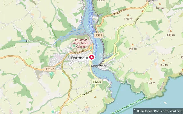
SeaWarfleet Creek slipway
Devon, EnglandA slipway on Warfleet Creek, a small tidal inlet of the River Dart near Dartmouth Castle at the mouth of the estuary. The creek's name is thought by some, without firm evidence, to recall the fleets that once mustered there.
 Sea
SeaDartmouth Boat Float
Devon, EnglandThe Boat Float is a small tidal harbour basin in the centre of Dartmouth, created when the town's embankment was built in the 1880s and linked to the River Dart by a bridge; a tidal lock gate added between 1985 and 1990 keeps out spring-tide flooding.
 Sea
SeaCoombe Cellars
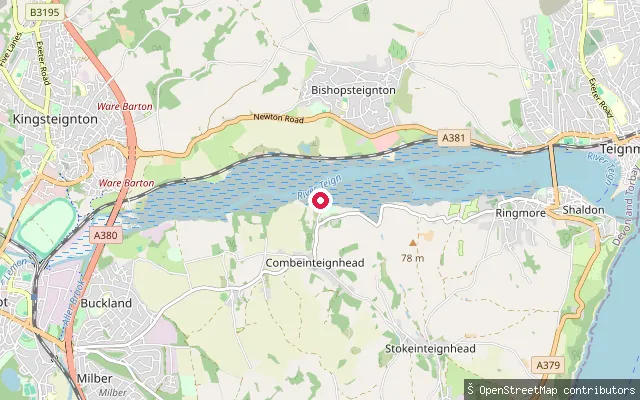
Devon, EnglandCoombe Cellars is a slipway on the Teign Estuary at Netherton, in the parish of Combeinteignhead, upstream of Shaldon and Teignmouth. The River Teign turns tidal below Newton Abbot and widens into this ria, so the water here rises and falls with the sea.
 Sea
SeaClyst St. George put-in (East Devon)
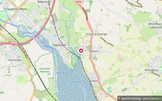
Devon, EnglandThis slipway lies on the Exe Estuary near Ebford, close to where the River Clyst meets the estuary just south of Topsham. The estuary here is tidal, with wide mudflats exposed at low water and Special Protection Area status for its wintering wildfowl and waders.
 Sea
SeaClovelly Harbour slipway
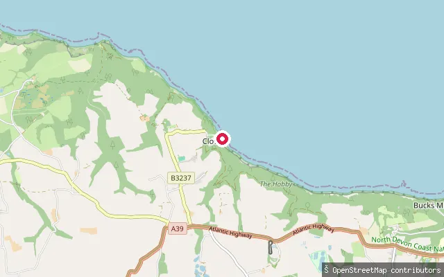
Devon, EnglandClovelly Harbour is a small stone quay on Bideford Bay, part of the Bristol Channel, at the foot of the privately owned village of Clovelly's steep cobbled street. Small fishing boats and wildlife-watching cruises still work out of the harbour.
 River
RiverCastle Quay
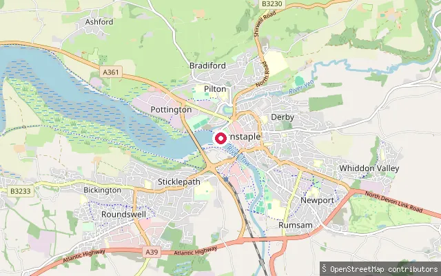
Devon, EnglandCastle Quay is a Grade II listed stone quay on the River Taw in Barnstaple town centre, with a flight of granite steps and a slipway at its south-east end near the Civic Centre.
 River
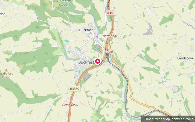
RiverBuckfastleigh slipway
Devon, EnglandA slipway on the non-tidal River Dart near Buckfastleigh, a market town on the edge of Dartmoor National Park. The upper Dart is popular for whitewater kayaking and canoeing, with paddling typically concentrated in the wetter winter months.
 Lake
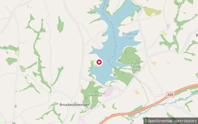
LakeRoadford Lake slipway
Devon, EnglandRoadford Lake is the largest area of fresh water in South West England, a South West Water reservoir formed by damming the River Wolf near Broadwoodwidger and opened in 1990. It is now run by South West Lakes Trust with an activity centre offering self-launch for private kayaks, canoes and paddleboards, alongside a lakeside campsite next to this slipway.
 Canal
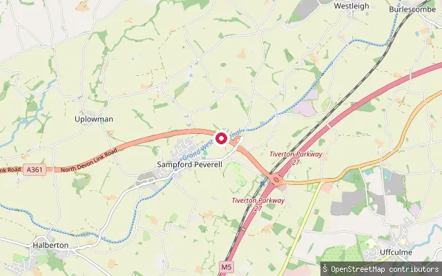
CanalBoehill Slipway
Devon, EnglandBoehill Slipway is the only public boat launch on the Grand Western Canal, on the edge of Sampford Peverell close to Tiverton Parkway station and M5 Junction 27. Devon County Council, which manages the canal as a country park, requires an Unpowered Boat Permit for canoes, kayaks and paddleboards here and notes that British Canoeing, Paddle UK and Canal & River Trust licences do not cover it. The slipway takes trailered craft up to 7.5 metres long and 2.2 metres wide, with parking in an adjoining field reached through a coded gate.
 Sea
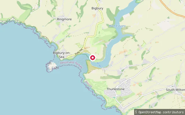
SeaBigbury put-in (South Hams)
Devon, EnglandThis slipway launches onto the open coast of Bigbury Bay between Challaborough and Bantham beaches, South Hams. Bigbury Bay is a stretch of the English Channel that also takes in Burgh Island, a tidal island reachable across a sandbar at low tide, and the mouths of the Erme and Avon.
Save your own spots
Keep the places you launch, check the wind and shelter before you go, and log every paddle. Add a spot to the directory too, and other paddlers will find it. Free to start.
Some launch spots in this directory are seeded from open data. © OpenStreetMap contributors · Open Database Licence (ODbL) · Machine-readable copy