Paddleboarding spots in Kent
79 launch spots across Kent
This weekend’s calmest picks in Kent
See the ranked launch spots for the best conditions this weekend
Many inland waterways need a licence to paddle. Check with Paddle UK before you go.
Every mapped spot in Kent
Zoom in to split a cluster; open a pin for the spotMap of every spot in Kent
The interactive map opens on any device with JavaScript. The full list of launch spots is below.
Launch spots
Showing 24 of 79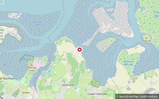 Sea
SeaUpchurch put-in
Kent, EnglandThis put-in is at Ham Green in Upchurch parish, on the shore of the Medway Estuary between Gillingham and Sheerness. The estuary here forms part of the Medway Estuary and Marshes Site of Special Scientific Interest, Ramsar site and Special Protection Area. Otterham Creek and its working boatyard at Otterham Quay lie about a mile to the west.
 Sea
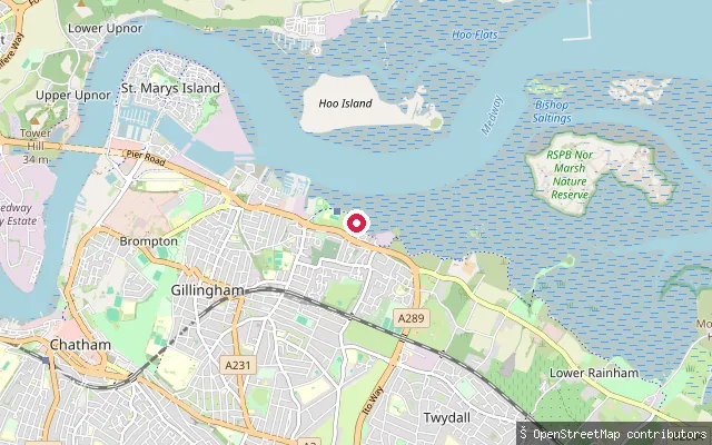
SeaTwydall put-in (Gillingham)
Kent, EnglandThis slipway sits on Waterside Lane in the Twydall area of Gillingham, on the south bank of the River Medway estuary, next to a boat-storage yard tagged in OpenStreetMap. Riverside Country Park's tidal frontage at Sharp's Green Bay lies roughly a kilometre east along the same shore. The Medway Ports Authority's 1991 river byelaws apply to navigation on this tidal reach.
 River
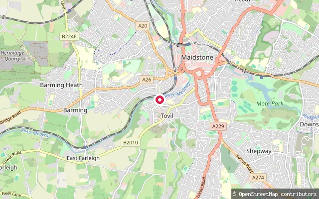
RiverTovil put-in (Maidstone)
Kent, EnglandThis slipway is on the River Medway at Tovil, a riverside suburb southwest of Maidstone town centre near East Farleigh, on a road named The Boatyard. The OSM record marks it as usable by canoe with no launch fee.
 River
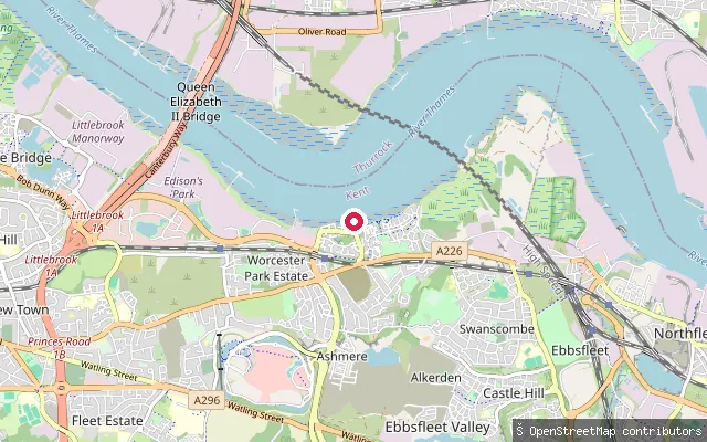
RiverSwanscombe and Greenhithe put-in (Dartford)
Kent, EnglandThis slipway sits on the River Thames between the villages of Swanscombe and Greenhithe in the Borough of Dartford, Kent, roughly midway between Dartford and Gravesend. Both grew as riverside settlements, with Swanscombe's economy historically tied to Thames-side cement works that shipped by river.
 Sea
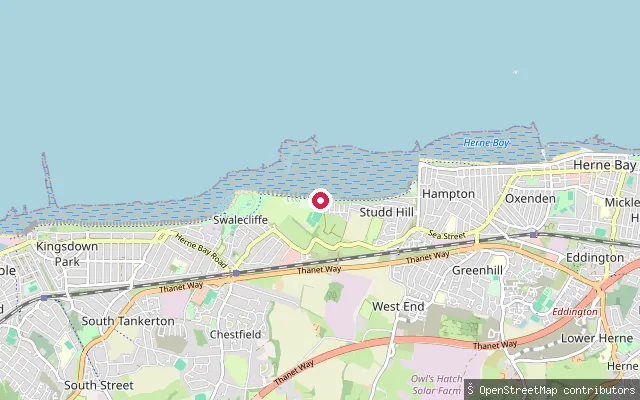
SeaBay View Lane put-in (Swalecliffe)
Kent, EnglandThis put-in sits at Bay View Lane in Swalecliffe, a village on the coast road between Tankerton and Herne Bay, fronting the Thames Estuary along a long shingle beach backed by a concrete promenade. Canterbury City Council's public bathing byelaws exclude this lane from the adjoining swimming area so craft can cross the beach here, and a car park with its own slipway lies close by off Swalecliffe Avenue.
 Sea
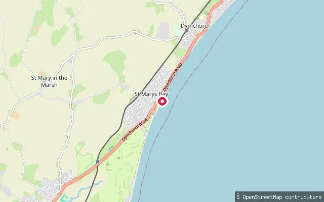
SeaSt Mary's Bay slipway, Sea Wall
Kent, EnglandThis slipway is on the Sea Wall at St Mary's Bay, a coastal hamlet on Romney Marsh within the parish of St Mary in the Marsh, and launches onto the English Channel. St Mary's Bay's beach runs along the coast between Dymchurch to the north and Littlestone-on-Sea to the south.
 Sea
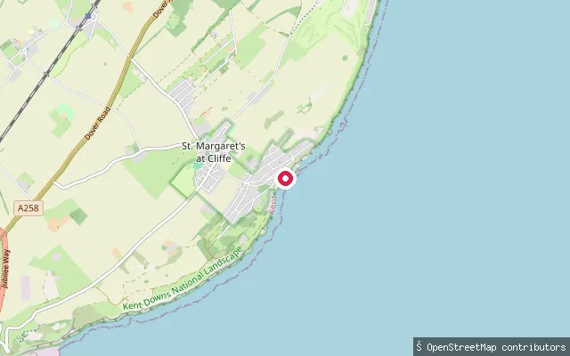
SeaSt Margaret's Bay slipway
Kent, EnglandSt Margaret's Bay is a pebble beach at the narrowest point of the English Channel, set below chalk cliffs and the clifftop village of St Margaret's at Cliffe. Leathercote Point, at its northern end, marks the western end of the line the International Hydrographic Organization draws between the Channel and the North Sea. The bay has long been a departure point for Channel swimmers, and the submarine telegraph cable laid to Sangatte in 1851 ran from here.
 Sea
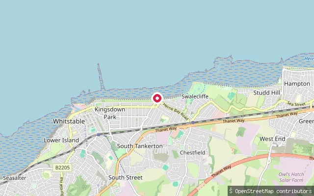
SeaTankerton slipway
Kent, EnglandTankerton slipway sits on the shingle beach at Tankerton, on the eastern side of Whitstable, at the foot of Tankerton Slopes. The beach opens onto the Kentish Flats, a shallow plateau up to 6 to 8 metres deep on the south side of the Thames Estuary where the Swale meets the open sea, drying at low water to mudflats worked for native and Pacific oysters within the Swale Estuary Marine Conservation Zone. The Street, a shingle-and-clay spit, runs about half a mile out from the beach and disappears under the flooding tide. Offshore, the forty-five turbines of the Kentish Flats wind farm stand about six miles out, with the Maunsell forts visible further along the coast.
 Sea
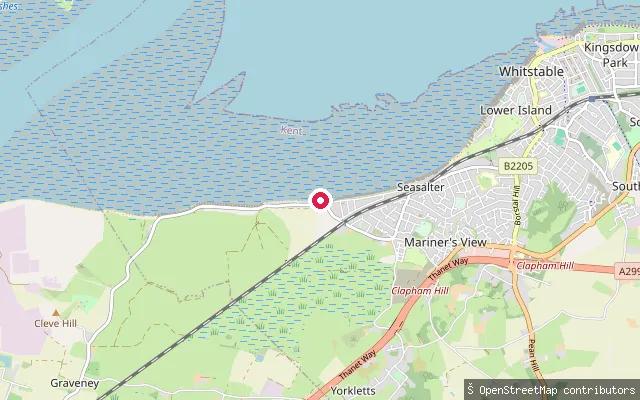
SeaSeasalter put-in
Kent, EnglandThis launch point sits on the shingle beach at Seasalter, a coastal village between Whitstable and Faversham where the Swale estuary meets the wider Thames Estuary, facing the Isle of Sheppey. The spot lies on Alberta Lane, one of the corridors Canterbury City Council cuts through its public bathing byelaws so craft can cross the swimming area. Seasalter Sailing Club races catamarans on the estuary nearby, and oyster beds lie about a mile offshore, exposed only at low tide.
 River
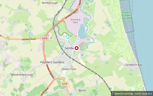
RiverSandwich Town Quay slipway
Kent, EnglandSandwich's Town Quay slipway launches onto the tidal River Stour in the historic Cinque Port town. The concrete surface gives way to soft mud at low tide, so launch conditions here depend on the state of the tide.
 River
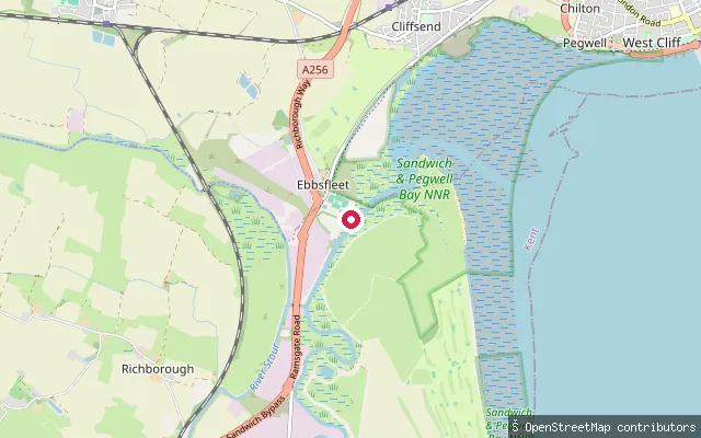
RiverRiver Stour slipway near Richborough
Kent, EnglandThis slipway sits on the tidal River Stour near Richborough, downstream of the town of Sandwich and upstream of the river's mouth at Pegwell Bay. The lower Stour is tidal all the way from Fordwich down to the bay, so water level and flow here vary through the tide.
 River
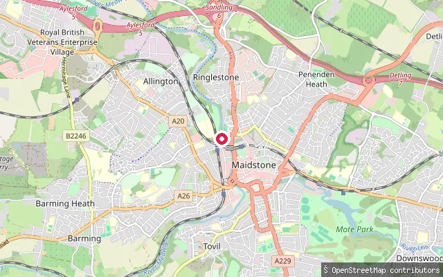
RiverRinglestone put-in (Maidstone)
Kent, EnglandThis slipway sits at Mill Meadow off St Peter's Street, on the west bank of the River Medway close to Maidstone town centre, on a reach the Environment Agency lists among the Medway's public launch points. It forms part of the non-tidal Medway Navigation between Maidstone and Allington Lock, the lowest of the ten locks on the 31km inland waterway and the point where the river becomes tidal.
 Sea
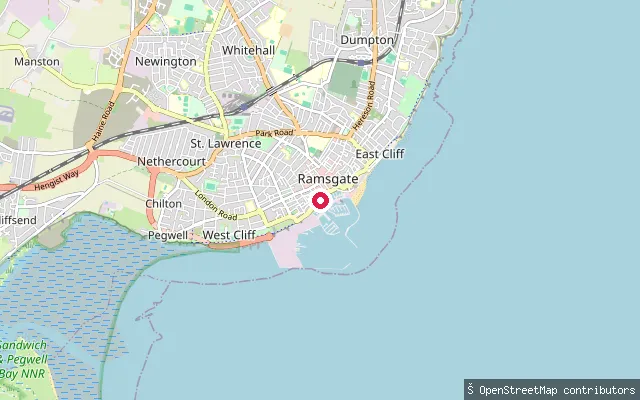
SeaRoyal Harbour Marina slipway (Ramsgate)
Kent, EnglandRamsgate Royal Harbour is the only harbour in the UK to carry the title ‘Royal’, granted by King George IV in 1821, and was named a Heritage Harbour in July 2024. It sits on the Thanet coast between the North and South Forelands, with berths across an inner basin, the East Marina and a locked inner harbour used by larger vessels.
 Sea
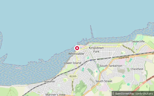
SeaR.N.L.I. Lifeboat Whitstable
Kent, EnglandThis point marks Whitstable's RNLI lifeboat station, in operation since 1963 on the seafront east of the harbour, where the crew carriage-launch an inshore lifeboat down the beach. It sits on the harbour's eastern approach, at the mouth of the Swale.
 Sea
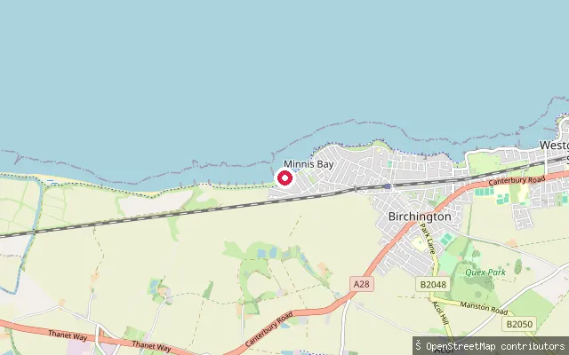
SeaMinnis Bay slipway (west)
Kent, EnglandThis slipway sits at the western end of Minnis Bay in Birchington-on-Sea, close to where the Wantsum Way coastal path runs along the sea wall and clifftop toward Reculver. Plum Pudding Island, the housing area the harvester named this point after, is an inland former farm roughly a kilometre away, not the water itself.
 Sea
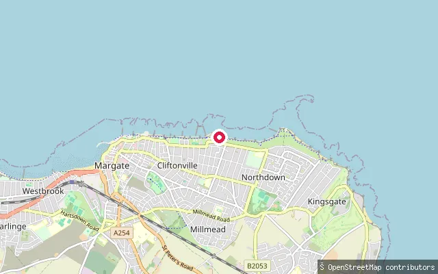
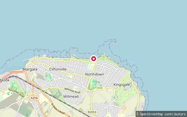
SeaPalm Bay put-in (Thanet)
Kent, EnglandThis slipway sits at the western end of Palm Bay near Prince's Walk, a sandy bay on the Cliftonville coast between Walpole Bay and Botany Bay. Free parking runs the length of the bay.
 Sea
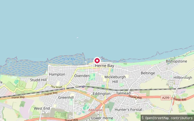
SeaPalm Bay put-in (Thanet)
Kent, EnglandPalm Bay is a sandy bay on the Cliftonville coast between Walpole Bay and Botany Bay, reached by slipway from the clifftop promenade. Free parking runs the length of the bay.
 Sea
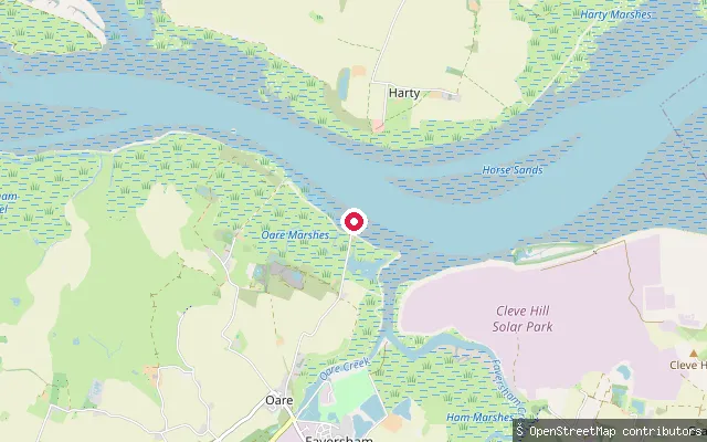
SeaOxenden slipway (Herne Bay)
Kent, EnglandThis slipway is on Central Parade, the seafront promenade in Herne Bay, launching onto the Thames Estuary. The Oxenden name recalls Sir Henry Oxenden, the local landowner who gave the ground for the town's first church.
 Sea
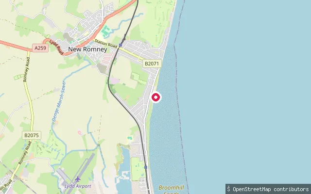
SeaOare put-in (Swale)
Kent, EnglandOare Creek is a tidal creek that dries out almost completely at low water, running north from the village of Oare to join Faversham Creek before the combined flow reaches the Swale. Private, informal moorings line much of the creek. The area lies within the Swale Site of Special Scientific Interest, Ramsar site and Special Protection Area.
 Sea
SeaGreatstone-on-Sea slipway, Coast Drive
Kent, EnglandThis slipway sits on Coast Drive at Greatstone-on-Sea, a beach hamlet on Romney Marsh between New Romney and Lydd, and launches onto the shingle and sand foreshore of the English Channel. A second mapped slipway lies about 18 metres away and may record the same physical launch point.
 River
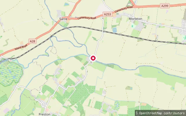
RiverPlucks Gutter slipway
Kent, EnglandThis slipway is at Plucks Gutter, the hamlet in Monkton parish where the Little Stour joins the Great Stour; below the confluence the combined river is known simply as the River Stour. The reach lies within the tidal stretch of the river, downstream of the tidal limit at Fordwich, and the area is noted for coarse fishing, particularly bream.
 Sea
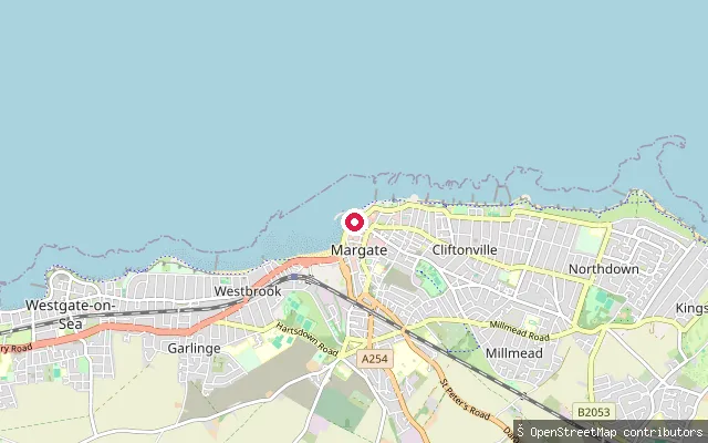
SeaMargate Main Sands slipway, near the lifeboat station
Kent, EnglandMargate Main Sands is the town's main sandy beach on the north Kent coast, running past the harbour arm toward the RNLI lifeboat station and Turner Contemporary gallery. This concrete slipway is tagged for vehicle and emergency access, close to Margate's current lifeboat station on the promenade.
 Sea
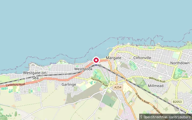
SeaMargate Main Sands slipway, near Turner Steps
Kent, EnglandMargate Main Sands is the town's main sandy beach, close to the Turner Contemporary gallery and the harbour arm. This slipway, tagged for pedestrian and vehicle service access, sits near the Turner Steps, where a local operator runs paddleboard hire and lessons from the beach.
 Sea
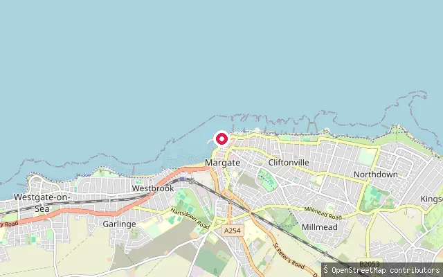
SeaMargate Old Town slipway (The Rendezvous)
Kent, EnglandThis slipway launches onto the sea off Margate Old Town, on the Thames Estuary coast, close to the road called The Rendezvous. It is charted on nautical seamarks as a small-craft facility.
Save your own spots
Keep the places you launch, check the wind and shelter before you go, and log every paddle. Add a spot to the directory too, and other paddlers will find it. Free to start.
Some launch spots in this directory are seeded from open data. © OpenStreetMap contributors · Open Database Licence (ODbL) · Machine-readable copy