Paddleboarding spots in Kent
79 launch spots across Kent
This weekend’s calmest picks in Kent
See the ranked launch spots for the best conditions this weekend
Many inland waterways need a licence to paddle. Check with Paddle UK before you go.
Every mapped spot in Kent
Zoom in to split a cluster; open a pin for the spotMap of every spot in Kent
The interactive map opens on any device with JavaScript. The full list of launch spots is below.
Launch spots
Showing 24 of 79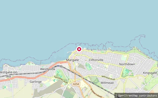 Sea
SeaMargate Old Town slipway (Fort Promenade)
Kent, EnglandThis slipway is on Fort Lower Promenade in Margate Old Town, launching onto the Thames Estuary coast a short distance from another slipway at The Rendezvous (node/4575470021).
 Sea
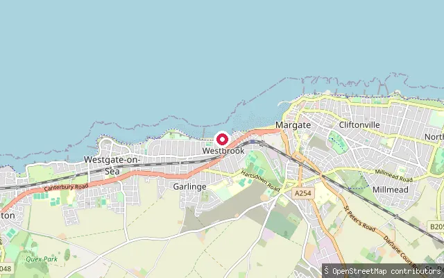
SeaMargate Main Sands slipway (west)
Kent, EnglandMargate Main Sands is the town's main sandy beach on the north Kent coast, sheltered somewhat by the harbour arm to the east. This slipway is at the western approach to the beach, near the boundary with Westbrook, off Westbrook Promenade.
 Sea
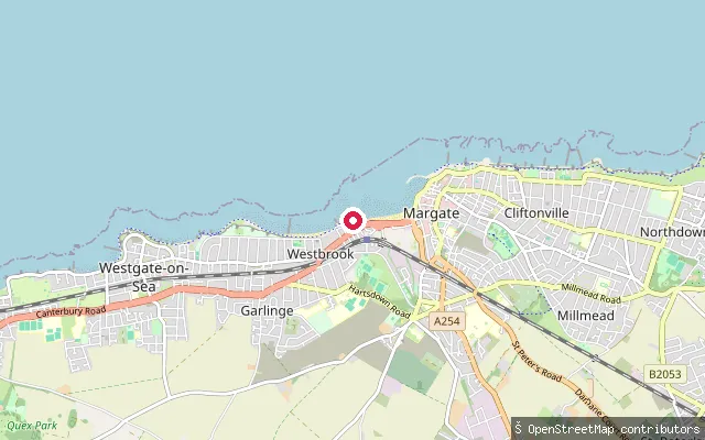
SeaMargate Main Sands slipway, Margate Old Town
Kent, EnglandMargate Main Sands is the town's main sandy beach, backed by the historic Old Town and sheltered to the east by the harbour arm. This slipway gives access to the sands from the Margate Old Town quarter of the seafront.
 Sea
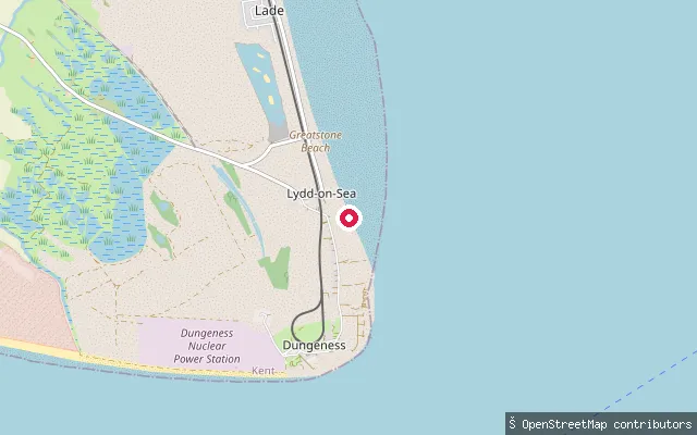
SeaDungeness Road beach launch, Lydd-on-Sea
Kent, EnglandThis beach launch sits on a grade-5 (unsurfaced) track off Dungeness Road near Lydd-on-Sea, at the northern edge of the Dungeness shingle headland, where local fishermen have long kept boats drawn up on the shingle and launch directly off the beach into the English Channel.
 Sea
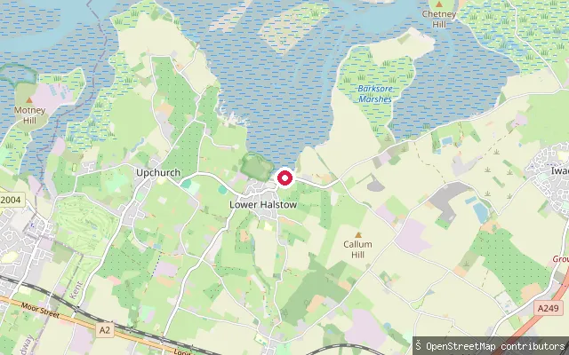
SeaLower Halstow put-in
Kent, EnglandHalstow Creek is a tidal offshoot of Twinney Creek that dries out completely at low water, reaching the village of Lower Halstow on the Medway Estuary. Lower Halstow Yacht Club is based in the village, and the creek and surrounding marshes lie within the Medway Estuary and Marshes Site of Special Scientific Interest, Ramsar site and Special Protection Area, internationally important for its wintering birds.
 Sea
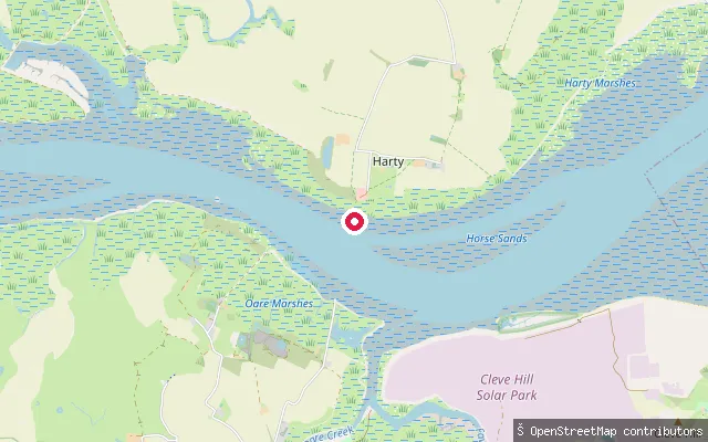
SeaHarty Ferry put-in (Swale)
Kent, EnglandThis put-in is at Harty Ferry, on the Isle of Harty within Leysdown civil parish, where a ferry crossed the Swale to Oare on the mainland from at least 1774 until the early twentieth century. The northern and southern hards that served the crossing still mark the site, and the Ferry House Inn stands on the Harty bank. The ebb tide runs hard through this stretch of the Swale, and anchorage outside the main channel is exposed to the east in strong winds.
 Sea
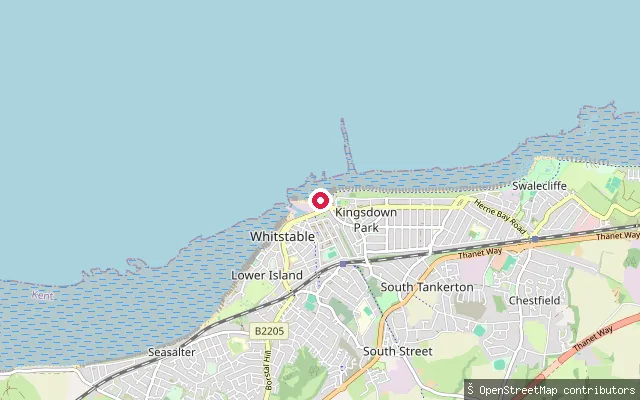
SeaBeach Walk put-in (Whitstable)
Kent, EnglandThis put-in sits at Beach Walk on Whitstable's seafront promenade, roughly midway between the harbour and Tankerton Slopes, fronting the Thames Estuary where Whitstable's coast opens out from the Swale's mouth. Canterbury City Council's public bathing byelaws carve this lane out of the adjoining swimming area so craft can cross the beach here.
 Lake
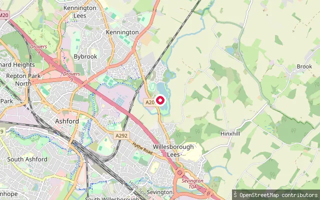
LakeKennington put-in (Ashford)
Kent, EnglandThis put-in sits on Conningbrook Main Lake, one of three lakes at Conningbrook Lakes Country Park in Kennington on the edge of Ashford. The lakes formed from former gravel workings, and the park is managed by Kent Wildlife Trust as a reserve with ponds, a river, grassland and wet woodland alongside the lakes.
 Sea
SeaIwade put-in (Swale)
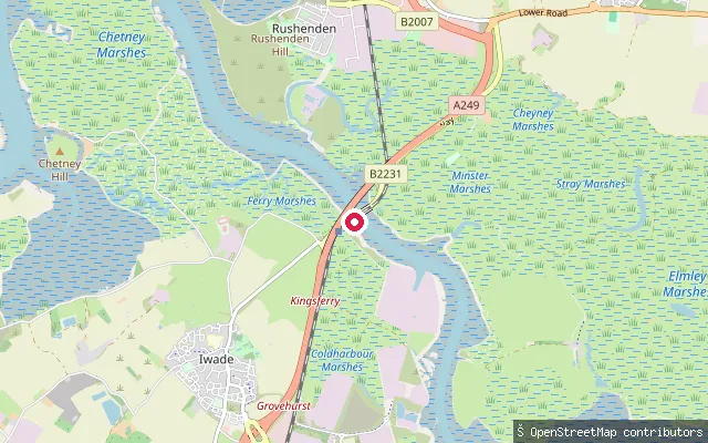
Kent, EnglandThe Swale is the tidal channel of the Thames Estuary that separates the Isle of Sheppey from mainland Kent. This put-in sits near the channel's western end by Kingsferry Bridge, close to Iwade, where tidal streams from the east and west meet near Milton Creek. The Swale is a Site of Special Scientific Interest, Ramsar site and Special Protection Area for its wintering and breeding birds.
Hawkenbury put-in (Tunbridge Wells)
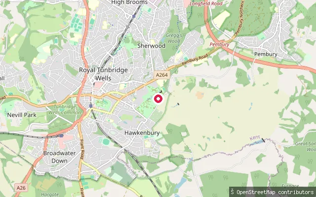
Kent, EnglandThis point sits in Hawkenbury, a residential suburb on the southeastern edge of Royal Tunbridge Wells, Kent, on high ground away from the town's river valleys.
 Sea
SeaGrenham Bay slipway
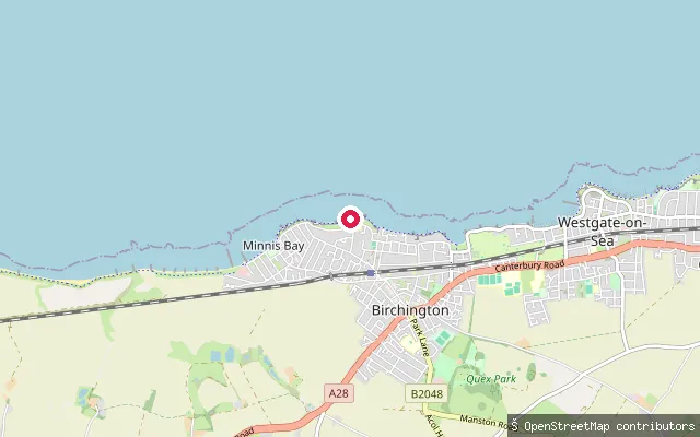
Kent, EnglandGrenham Bay is a small, quieter chalk-cliff bay on the Birchington-on-Sea coast, tucked between Minnis Bay and Epple Bay. This coastal slipway sits close to the bay, on a stretch described in OSM as clifftop footpath between Herne Bay and Epple Bay.
 Sea
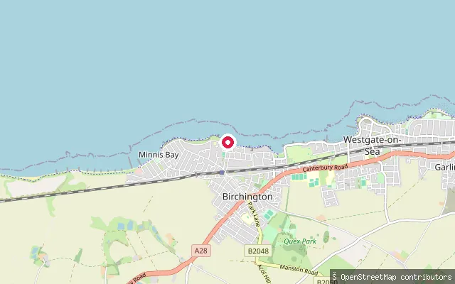
SeaGrenham Bay slipway (west)
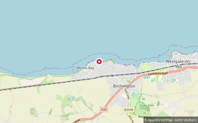
Kent, EnglandThis slipway lies close to Grenham Bay on the Birchington-on-Sea coast, a quiet chalk-cliff bay between Minnis Bay and Epple Bay. The OSM way here is tagged only as a slipway on a clifftop footpath, with no further detail recorded.
 Sea
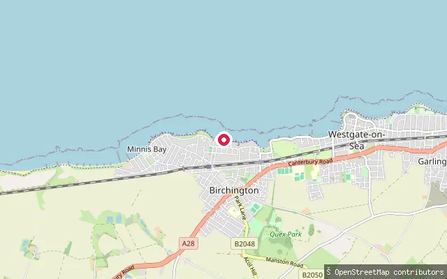
SeaBeresford Gap slipway (east)
Kent, EnglandThis slipway sits almost exactly at Beresford Gap, a narrow chalk-cliff break on the Birchington-on-Sea coast between Epple Bay and Grenham Bay. The gap is used by a private water ski and wakeboard club for launching powered craft.
 Sea
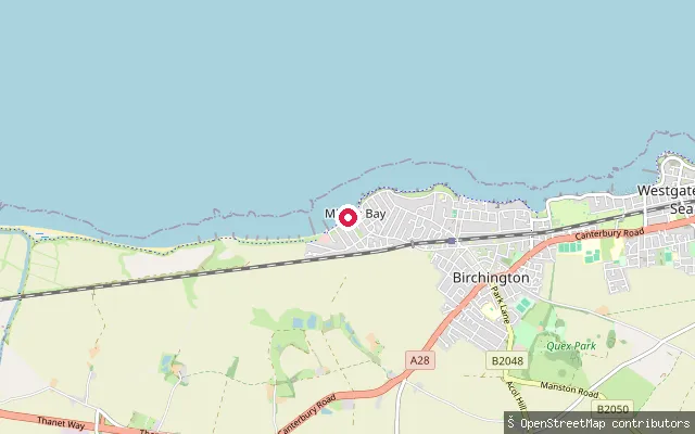
SeaBeresford Gap slipway
Kent, EnglandBeresford Gap is a narrow break in the chalk cliffs on the Birchington-on-Sea coast, between Epple Bay and Grenham Bay, with a slipway down to a stretch of pebbles and rock pools. The slipway here is used by the Beresford Wakeboard and Water Ski Club for powered craft rather than for general public launching.
 Sea
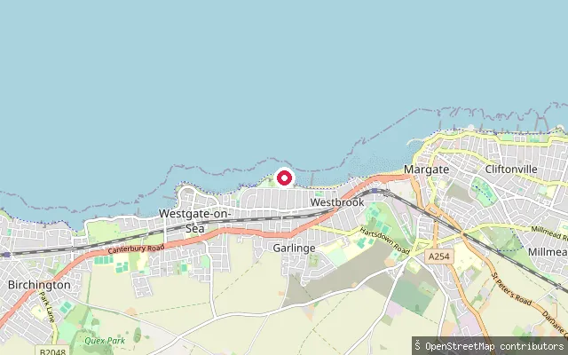
SeaMinnis Bay slipway (east)
Kent, EnglandMinnis Bay is a long, family-oriented sandy beach at Birchington-on-Sea in Thanet, with a slipway and free parking on The Parade. It holds Blue Flag status and a large expanse of sand is exposed at low tide.
 Sea
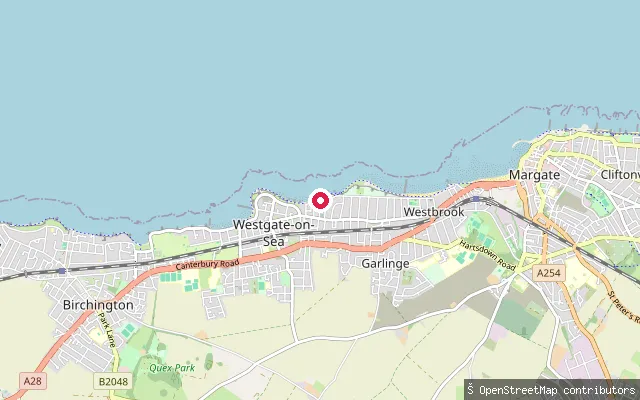
SeaWestbrook Bay slipway (west)
Kent, EnglandWestbrook Bay is a sandy bay on the Margate seafront between Westgate-on-Sea and Margate Main Sands, quieter than the main town beach and designated for watersports. This slipway is at the western end of the bay off Westbrook Promenade, with free parking along the top and steps or a slope down to the sand.
 Sea
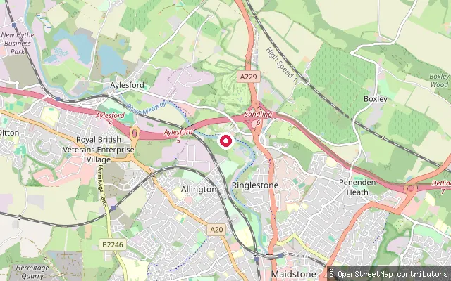
SeaSt Mildred's Bay slipway, Old Boundary Road (Westgate-on-Sea)
Kent, EnglandSt Mildred's Bay is a sandy, cliff-backed bay at the eastern end of Westgate-on-Sea on the north Kent coast, with a slipway off Old Boundary Road. Only a narrow strip of sand remains at high tide and the beach is fully covered on spring tides, with a tidal bathing pool at its western end.
 River
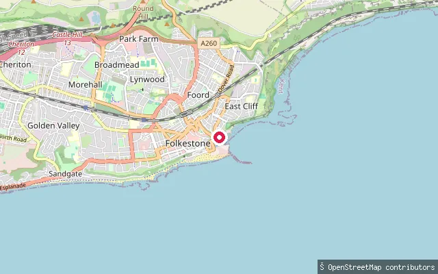
RiverAllington Lock slipway (Maidstone)
Kent, EnglandAllington Lock stands at the tidal limit of the River Medway on the northern edge of Maidstone, where the Environment Agency's Upper Medway Navigation ends and the tidal Medway Estuary begins. Upstream, the non-tidal river runs some 29 kilometres through Maidstone and Yalding to Tonbridge, and Allington is the only lock on that stretch worked by a keeper rather than by the boater.
 Sea
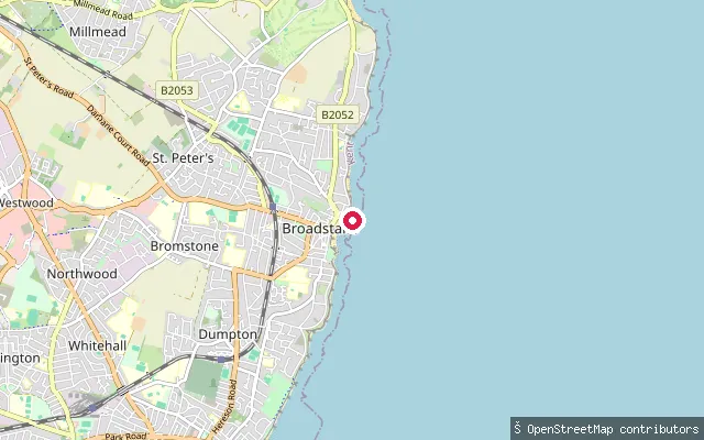
SeaFolkestone Harbour slipway
Kent, EnglandThis slipway sits within Folkestone Harbour, a 35 acre harbour built under an 1807 Act of Parliament and long used by the town's fishing fleet, with its old fish market close by. The harbour has been redeveloped for leisure and tourism since cross-Channel ferry services ended in 2001.
 Sea
SeaViking Bay slipway (Broadstairs)
Kent, EnglandViking Bay is Broadstairs' main beach, a roughly 300-metre sandy, horseshoe-shaped bay with a small harbour and pier at its northern end sheltering a fishing fleet. This slipway gives onto the bay from the harbourside, next to the jetty car park.
 Sea
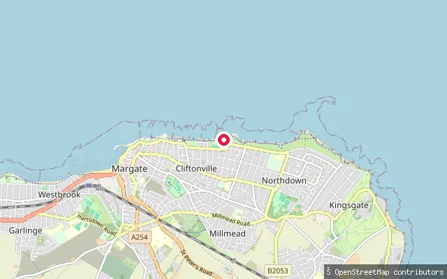
SeaWalpole Bay slipway (East Cliftonville)
Kent, EnglandWalpole Bay is a broad, gently shelving sandy beach on the open sea at Cliftonville, on the north-eastern tip of Kent, home to a Grade II-listed tidal pool built into the beach in 1937 and believed to be the largest in the UK. The launch sits near Hodge's Gap on the promenade, with Margate's harbour about two miles west and Palm Bay, Foreness Point and Botany Bay strung along the same stretch of coast to the east.
 Sea
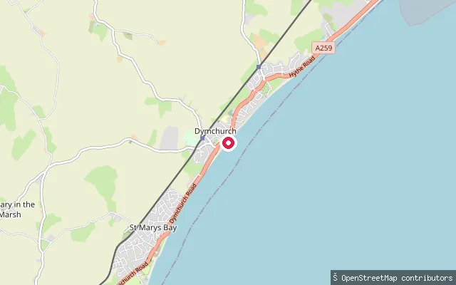
SeaDymchurch slipway, Sea Wall (north)
Kent, EnglandThis slipway sits on the Sea Wall at Dymchurch, roughly 650 metres north-east of another mapped launch point in the village, and gives onto the English Channel along the same rebuilt sea defence.
 Sea
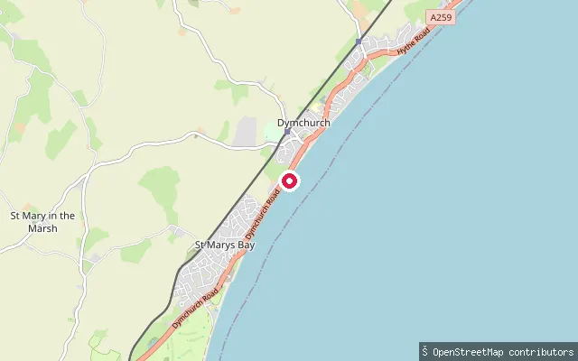
SeaDymchurch slipway, Sea Wall
Kent, EnglandThis slipway sits on the Sea Wall at Dymchurch, a Romney Marsh resort village with a Blue Flag sandy beach, and launches onto the English Channel. A rebuilt sea wall completed in 2011 lets people walk the shoreline the full length of the village.
 Sea
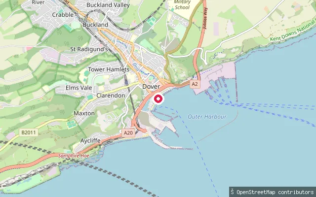
SeaDover Marina slipway
Kent, EnglandThis slipway gives access to Dover Marina, within Dover Harbour on the south Kent coast, where berths sit in the historic Wellington Dock and around the newer western docks. The harbour sits in the sheltered mouth of the River Dour, between the town's chalk cliffs, and is one of the world's busiest passenger ports, 21 miles across the Channel from France. Dover has become a base for paddleboarding and kayaking in recent years.
Save your own spots
Keep the places you launch, check the wind and shelter before you go, and log every paddle. Add a spot to the directory too, and other paddlers will find it. Free to start.
Some launch spots in this directory are seeded from open data. © OpenStreetMap contributors · Open Database Licence (ODbL) · Machine-readable copy